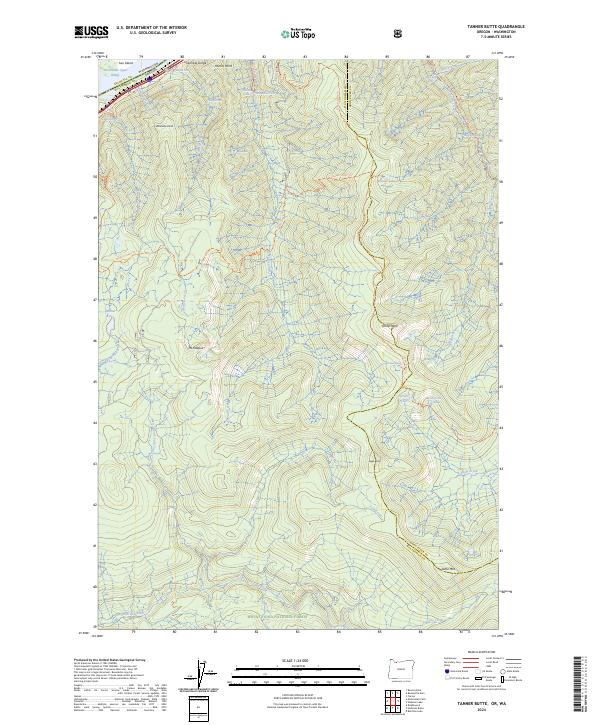
2024 Map of Tanner Butte
USGS Topo · Published 2024About this map
The Mark O Hatfield Wilderness dominates this mountainous landscape along the southern rim of the Columbia Gorge. The terrain is defined by dramatic elevation changes rising from the river toward summits like Tanner Butte and Mt Talapus. Numerous water features carve through the basalt-heavy topography, including Punch Bowl Falls and Wahclella Falls, illustrating the region's famed vertical hydrography.
Find a feature on this map
43 named features on this map. Tap any name to fly to it.
Don’t see what you’re looking for? This feature index may not catch every label — zoom into the map to look around manually.
Map Details
Editions of this 2024 Tanner Butte Map
This is the sole edition of this map. No revisions or reprints were ever made.
Historical Maps of Multnomah County Through Time
27 maps found
1954 Linnton
Multnomah County, OR
1954 Mount Tabor
Multnomah County, OR
1954 Oswego
Multnomah County, OR
1954 Sauvie Island
Multnomah County, OR
1957 Bonneville Dam
Multnomah County, OR
1961 Linnton
Multnomah County, OR
1961 Mount Tabor
Multnomah County, OR
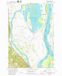
1961 Sauvie Island
Multnomah County, OR
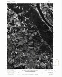
1975 Linnton
Multnomah County, OR
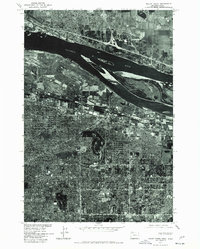
1975 Mount Tabor
Multnomah County, OR
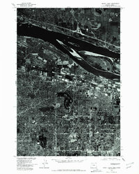
1976 Mount Tabor
Multnomah County, OR
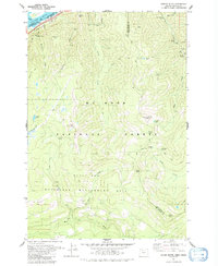
1979 Tanner Butte
Multnomah County, OR
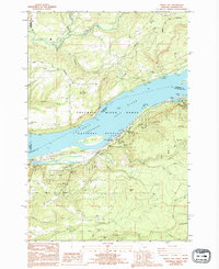
1986 Bridal Veil
Multnomah County, OR
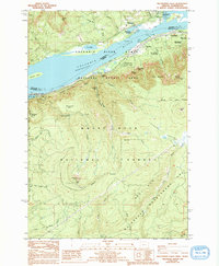
1986 Multnomah Falls
Multnomah County, OR
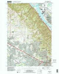
1990 Linnton
Multnomah County, OR
1990 Mount Tabor
Multnomah County, OR
1990 Sauvie Island
Multnomah County, OR
1994 Bridal Veil
Multnomah County, OR
1994 Multnomah Falls
Multnomah County, OR
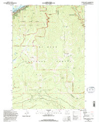
1994 Tanner Butte
Multnomah County, OR
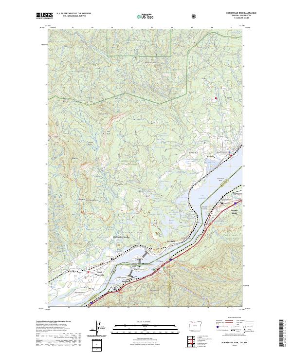
2024 Bonneville Dam
Multnomah County, OR
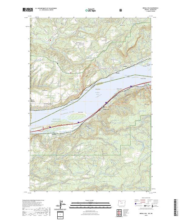
2024 Bridal Veil
Multnomah County, OR
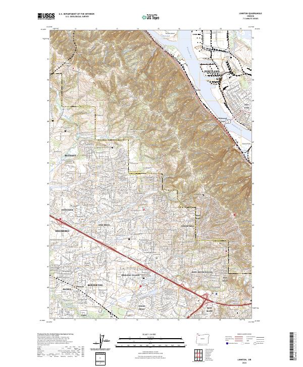
2024 Linnton
Multnomah County, OR
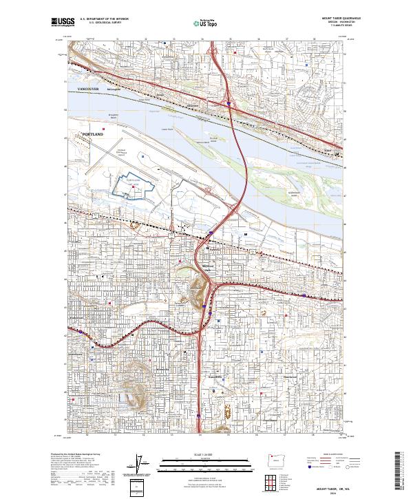
2024 Mount Tabor
Multnomah County, OR
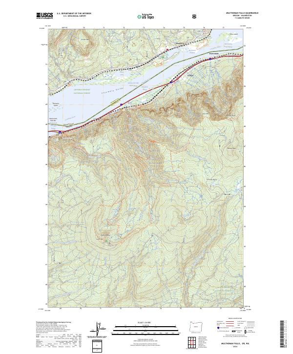
2024 Multnomah Falls
Multnomah County, OR
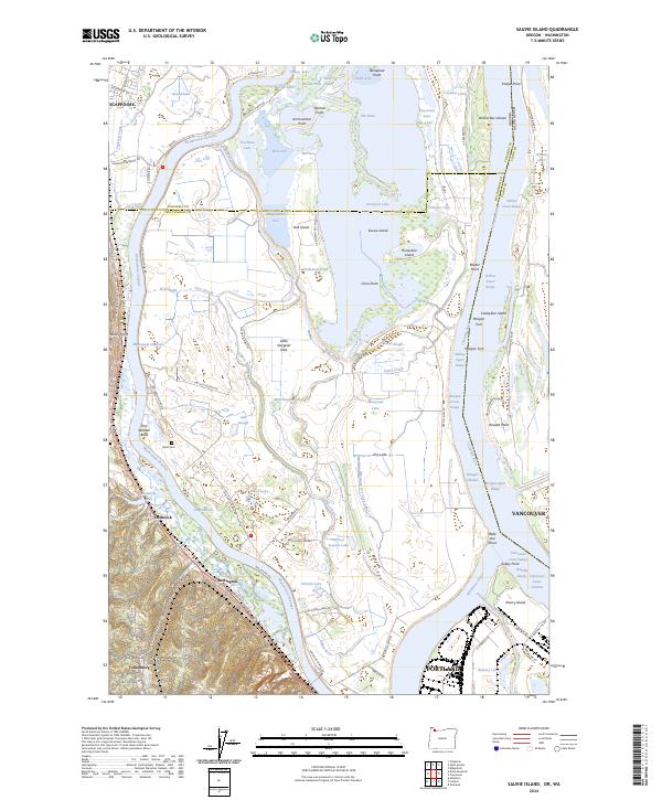
2024 Sauvie Island
Multnomah County, OR
2024 Tanner Butte
Multnomah County, OR