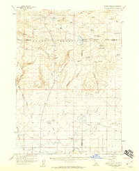
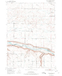
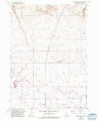
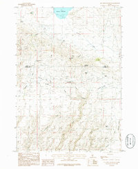
1957 Map of Thorn Creek
USGS Topo · Published 1959This historical map portrays the area of Thorn Creek in 1957, primarily covering Gooding County as well as portions of Camas County and Lincoln County. Featuring a scale of 1:62500, this map provides a highly detailed snapshot of the terrain, roads, buildings, counties, and historical landmarks in the Thorn Creek region at the time. Published in 1959, it is one of 2 known editions of this map due to revisions or reprints.
Find a feature on this map
79 named features on this map. Tap any name to fly to it.
Don’t see what you’re looking for? This feature index may not catch every label — zoom into the map to look around manually.
Map Details
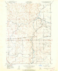
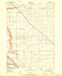
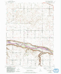
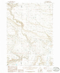
Editions of this 1957 Thorn Creek Map
2 editions found
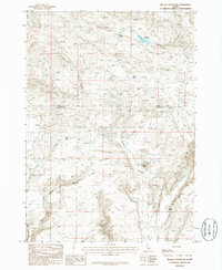
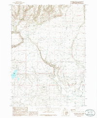
Historical Maps of Lincoln County Through Time
15 maps found
1949 Gooding Butte
Gooding County, ID
1949 Tuttle
Gooding County, ID
1950 Gooding Butte
Gooding County, ID
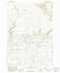
1950 Niagara Springs
Gooding County, ID
1951 Tuttle
Gooding County, ID
1957 Davis Mountain
Gooding County, ID
1957 Thorn Creek
Gooding County, ID
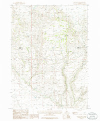
1957 Thorn Creek SW
Gooding County, ID
1979 Niagara Springs
Gooding County, ID
1986 Davis Mountain
Gooding County, ID
1986 Davis Mountain SW
Gooding County, ID
1986 Fir Grove Mountain
Gooding County, ID
1986 Hog Creek
Gooding County, ID
1986 Mc Han Reservoir
Gooding County, ID
1986 Mc Kinney Butte
Gooding County, ID