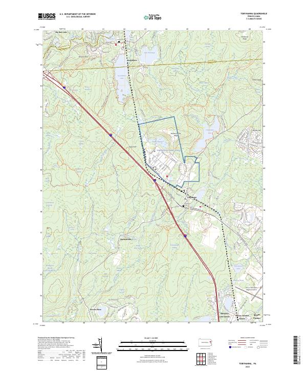
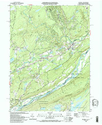
2023 Map of Tobyhanna
USGS Topo · Published 2023About this map
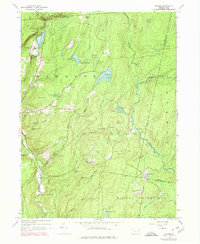
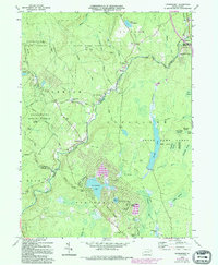
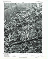
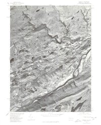
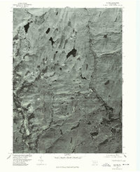
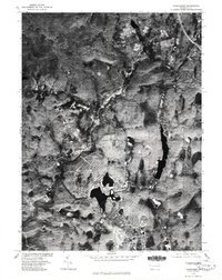
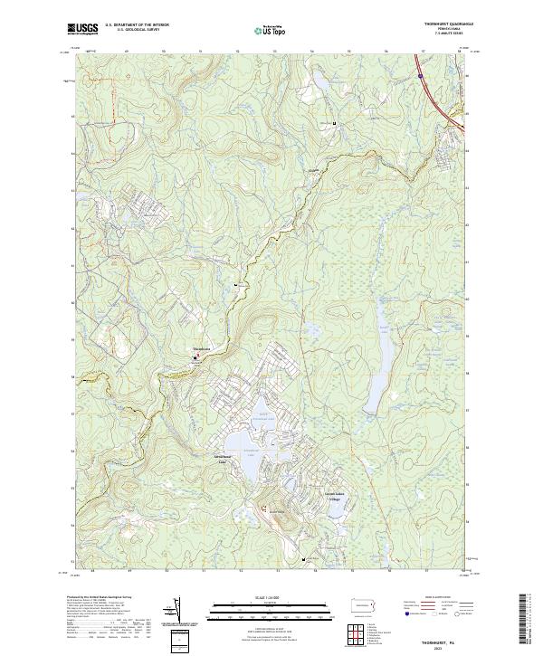
The Tobyhanna Army Depot dominates the central landscape of this Monroe County quadrangle, situated amidst a complex network of wetlands and state park lands. Established infrastructure in Tobyhanna and Gouldsboro anchors the region, while smaller settlements like Warnertown and Pocono Pines reflect the area's residential growth. The terrain is defined by its extensive hydrography, featuring numerous large water bodies such as Gouldsboro Lake and Tobyhanna Lake, alongside specialized marshes like Huckleberry Marsh and Birch Swale.
Find a feature on this map
162 named features on this map. Tap any name to fly to it.
Don’t see what you’re looking for? This feature index may not catch every label — zoom into the map to look around manually.
Map Details
Editions of this 2023 Tobyhanna Map
This is the sole edition of this map. No revisions or reprints were ever made.
Historical Maps of Dreher Township Through Time
41 maps found

1891 Wallpack
Monroe County, PA
1893 Wallpack
Monroe County, PA

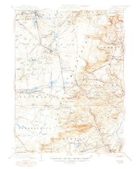
1919 Pocono
Monroe County, PA

1921 Pocono
Monroe County, PA
1923 Pocono
Monroe County, PA

1924 Bushkill
Monroe County, PA
1943 Bushkill
Monroe County, PA

1943 Pocono
Monroe County, PA
1943 Skytop
Monroe County, PA
1944 Bushkill
Monroe County, PA
1947 Bushkill
Monroe County, PA

1947 Skytop
Monroe County, PA

1959 Pocono
Monroe County, PA
1965 Blakeslee
Monroe County, PA
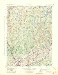
1965 Thornhurst
Monroe County, PA
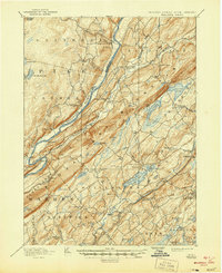
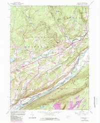
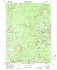
1965 Tobyhanna
Monroe County, PA
1966 Buck Hill Falls
Monroe County, PA
1976 Blakeslee
Monroe County, PA
1976 Broadheadsville
Monroe County, PA

1976 Buck Hill Falls
Monroe County, PA
1976 Bushkill
Monroe County, PA
1976 Skytop
Monroe County, PA
1976 Thornhurst
Monroe County, PA

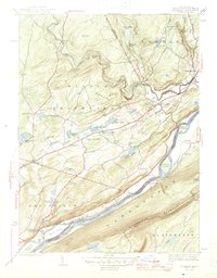
1976 Tobyhanna
Monroe County, PA

1992 Blakeslee
Monroe County, PA
1993 Bushkill
Monroe County, PA

1994 Buck Hill Falls
Monroe County, PA

1994 Skytop
Monroe County, PA

1994 Tobyhanna
Monroe County, PA

1997 Buck Hill Falls
Monroe County, PA

1997 Skytop
Monroe County, PA

1997 Thornhurst
Monroe County, PA
1999 Blakeslee
Monroe County, PA
1999 Bushkill
Monroe County, PA
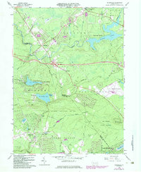
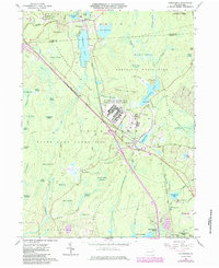
1999 Tobyhanna
Monroe County, PA
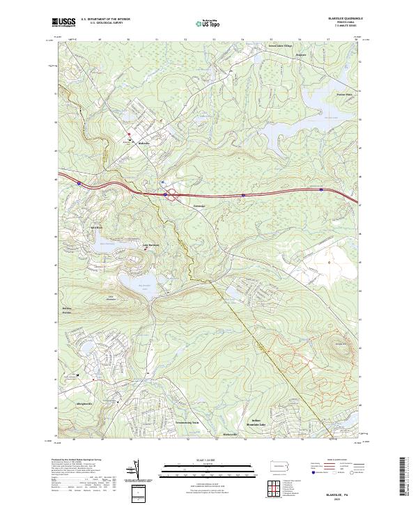
2023 Blakeslee
Monroe County, PA
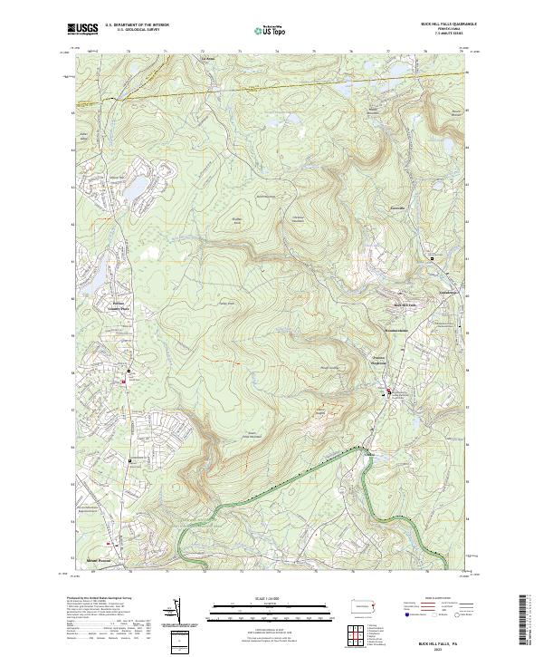
2023 Buck Hill Falls
Monroe County, PA
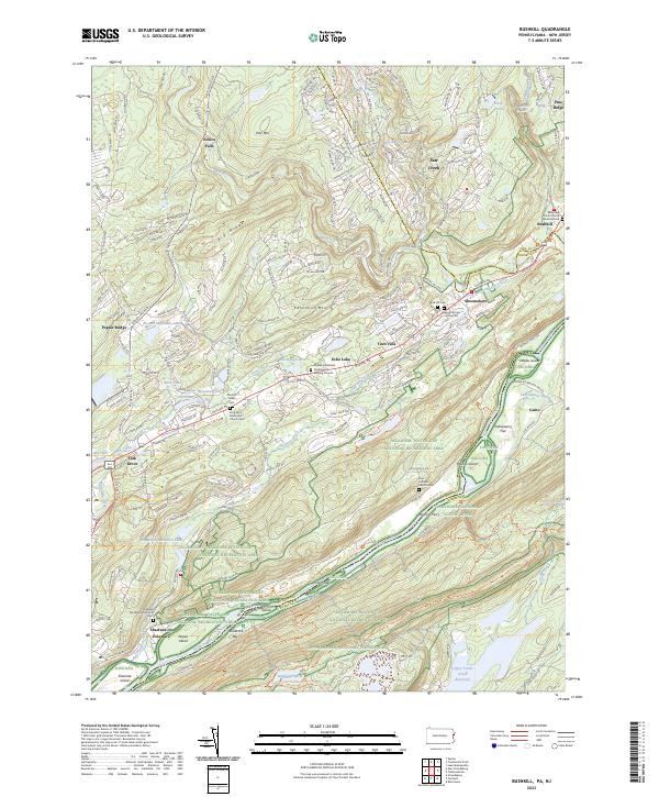
2023 Bushkill
Monroe County, PA
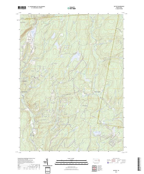
2023 Skytop
Monroe County, PA
2023 Thornhurst
Monroe County, PA
2023 Tobyhanna
Monroe County, PA
Featured Locations
- Coolbaugh Township, PA
- Clifton Township, PA
- Dreher Township, PA
- Lehigh Township, PA
- Tobyhanna, Coolbaugh Township