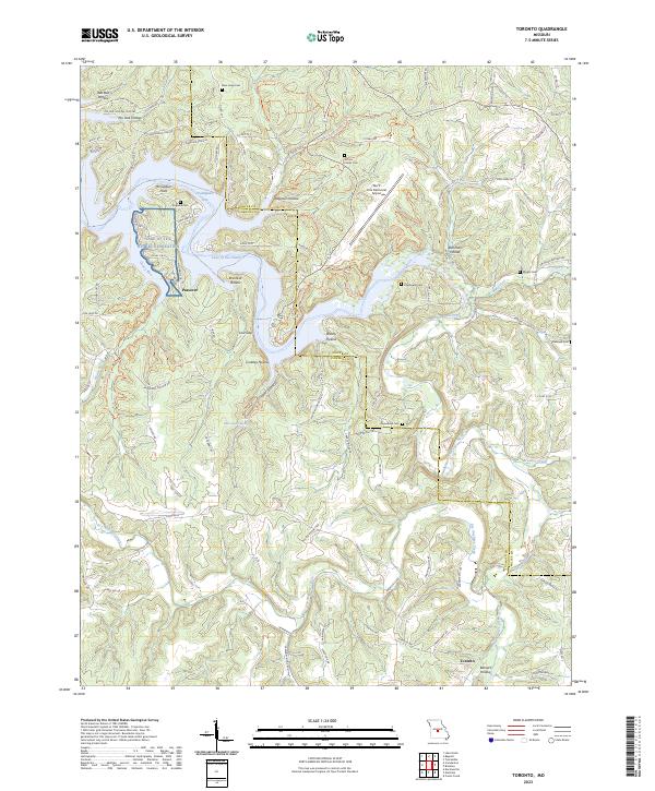
2023 Map of Toronto
USGS Topo · Published 2023About this map
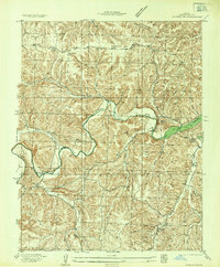
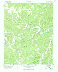
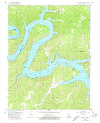
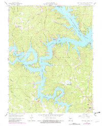
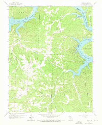
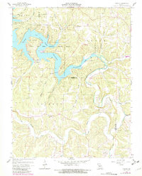
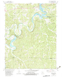
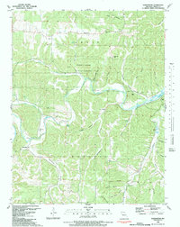
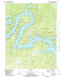
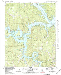
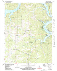
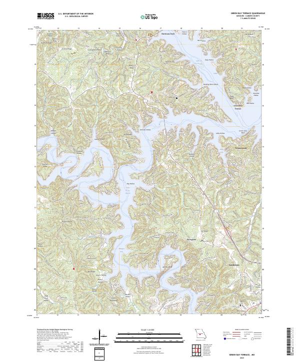
Passover sits at a narrow neck of the Lake of the Ozarks Recreation area, where the Grandglaize Arm branches into a complex network of submerged hollows and points like McCubbins Point. This central Missouri landscape is defined by the sharp contrast between the recreational waters of the lake and the deeply etched drainages of the Dry Auglaize Creek, Wet Glaize Creek, and Brumley Creek. The map reveals a land heavily marked by multi-generational history, evidenced by numerous family and community burial grounds such as the Jeffries Family Cem, Kuykendall Cem, and Popplewell Cem. To the south, the settlement of Toronto anchors the lower terrain near Barnett Hollow. The presence of the Lee C Fine Memorial Airport near Patterson Hollow highlights the modern infrastructure serving this vacation region, while labels like White Sulphur Spring point to the area's natural hydrology.
Find a feature on this map
102 named features on this map. Tap any name to fly to it.
Don’t see what you’re looking for? This feature index may not catch every label — zoom into the map to look around manually.
Map Details
Editions of this 2023 Toronto Map
This is the sole edition of this map. No revisions or reprints were ever made.
Historical Maps of Passover Through Time
31 maps found

1932 Versailles No 4
Camden County, MO
1934 Green Bay Terrace
Camden County, MO
1934 Irontown Ferry
Camden County, MO

1934 Purvis
Camden County, MO
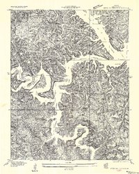
1934 Toronto
Camden County, MO
1935 Barnumton
Camden County, MO
1935 Knobby Creek
Camden County, MO
1954 Conns Creek
Camden County, MO
1957 Barnumton
Camden County, MO
1959 Barnumton
Camden County, MO
1959 Bollinger Creek
Camden County, MO
1959 Green Bay Terrace
Camden County, MO
1959 Knobby
Camden County, MO
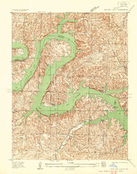
1959 Toronto
Camden County, MO
1960 Branch
Camden County, MO
1975 Decaturville
Camden County, MO
1982 Hahatonka
Camden County, MO
1983 Barnumton
Camden County, MO
1983 Bollinger Creek
Camden County, MO
1983 Green Bay Terrace
Camden County, MO
1983 Knobby
Camden County, MO
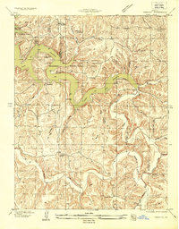
1983 Toronto
Camden County, MO
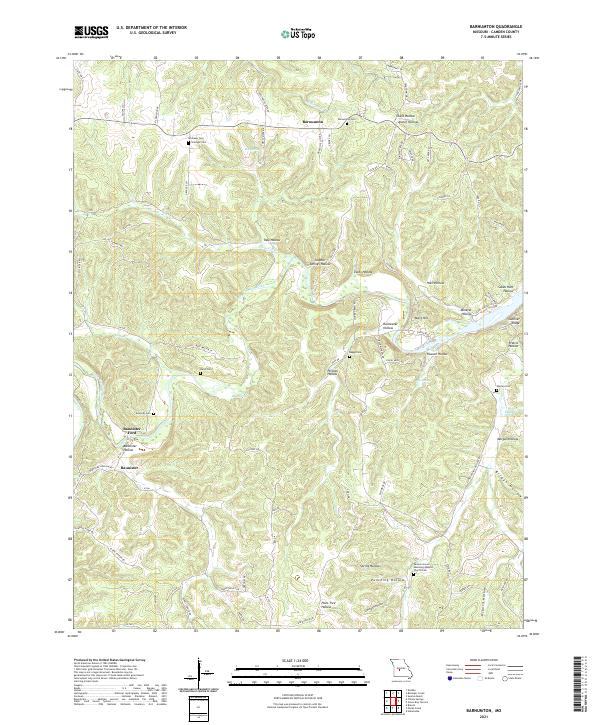
2021 Barnumton
Camden County, MO
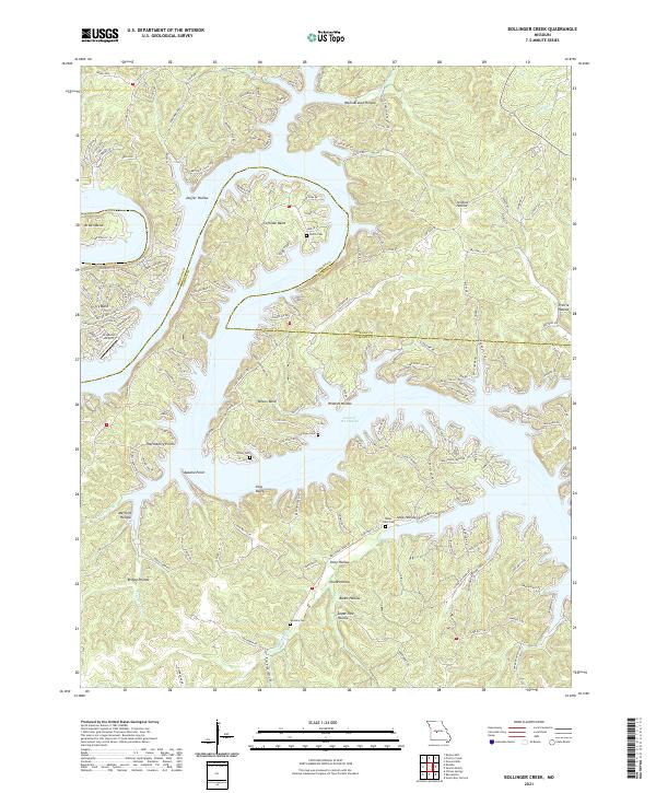
2021 Bollinger Creek
Camden County, MO
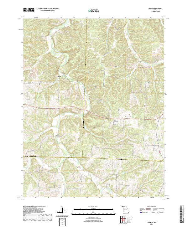
2021 Branch
Camden County, MO
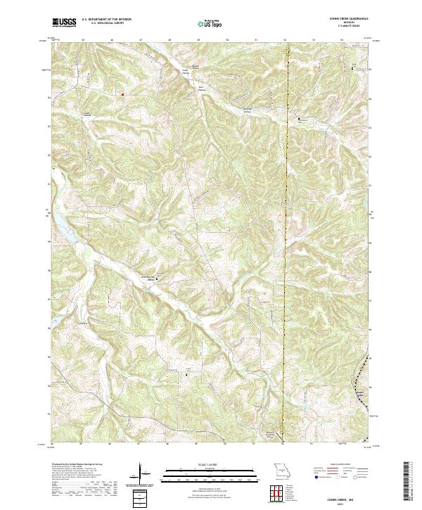
2021 Conns Creek
Camden County, MO
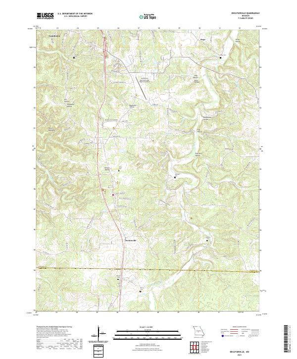
2021 Decaturville
Camden County, MO
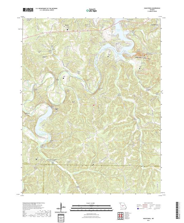
2021 Hahatonka
Camden County, MO
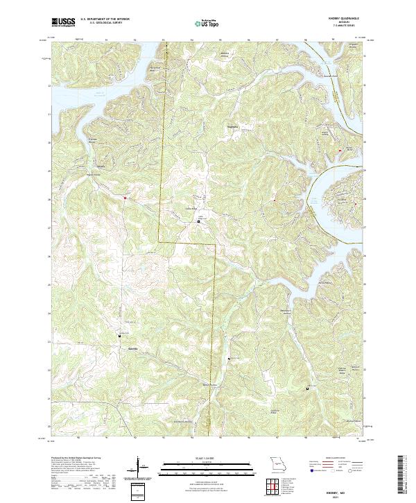
2021 Knobby
Camden County, MO
2023 Green Bay Terrace
Camden County, MO
2023 Toronto
Camden County, MO