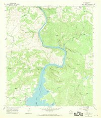
1967 Map of Tow
USGS Topo · Published 1970About this map
The Colorado River meanders through the Texas Hill Country in this late-1960s survey, transitioning into the northern reaches of Lake Buchanan. The small settlement of Tow sits on the western shore of the reservoir, adjacent to Tow Cem, serving as a focal point for local history along the Calvert Creek drainage. The map preserves the location of Tanyard Crossing (Historic) further north along the river, a reminder of early travel routes before the landscape was altered by water management projects.
Find a feature on this map
45 named features on this map. Tap any name to fly to it.
Don’t see what you’re looking for? This feature index may not catch every label — zoom into the map to look around manually.
Map Details
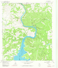
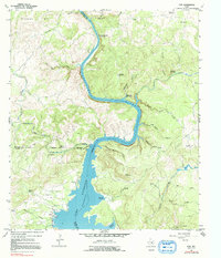
Editions of this 1967 Tow Map
Other maps of this area

1885 · San Saba
USGS Topo · 1:125,000

1887 · Llano
USGS Topo · 1:125,000

1887 · Lampasas
USGS Topo · 1:125,000

1887 · Burnet
USGS Topo · 1:125,000

1893 · Burnet
USGS Topo · 1:125,000

1894 · Lampasas
USGS Topo · 1:125,000

1894 · San Saba
USGS Topo · 1:125,000

1894 · Llano
USGS Topo · 1:125,000

1903 · Burnet
USGS Topo · 1:125,000

1904 · Llano
USGS Topo · 1:125,000