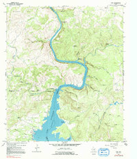
1967 Map of Tow
USGS Topo · Published 1992About this map
Lake Buchanan dominates the southern landscape of this 1967 survey, where the water's edge meets the rugged limestone topography of the Llano Uplift. The settlement of Tow sits tucked near the western shore, accompanied by the Tow Cem and Morgan Springs. The map captures a transition between the northern reaches of the reservoir and the free-flowing Colorado River, which meanders through a labyrinth of bluffs and canyons. Notable among these is the sharp bend at Chism Bluff and the nearby Barnes Mountain.
Find a feature on this map
44 named features on this map. Tap any name to fly to it.
Don’t see what you’re looking for? This feature index may not catch every label — zoom into the map to look around manually.
Map Details
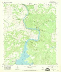
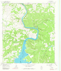
Editions of this 1967 Tow Map
Other maps of this area

1885 · San Saba
USGS Topo · 1:125,000

1887 · Llano
USGS Topo · 1:125,000

1887 · Lampasas
USGS Topo · 1:125,000

1887 · Burnet
USGS Topo · 1:125,000

1893 · Burnet
USGS Topo · 1:125,000

1894 · Lampasas
USGS Topo · 1:125,000

1894 · San Saba
USGS Topo · 1:125,000

1894 · Llano
USGS Topo · 1:125,000

1903 · Burnet
USGS Topo · 1:125,000

1904 · Llano
USGS Topo · 1:125,000