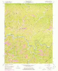
2023 Map of Trace
USGS Topo · Published 2023About this map
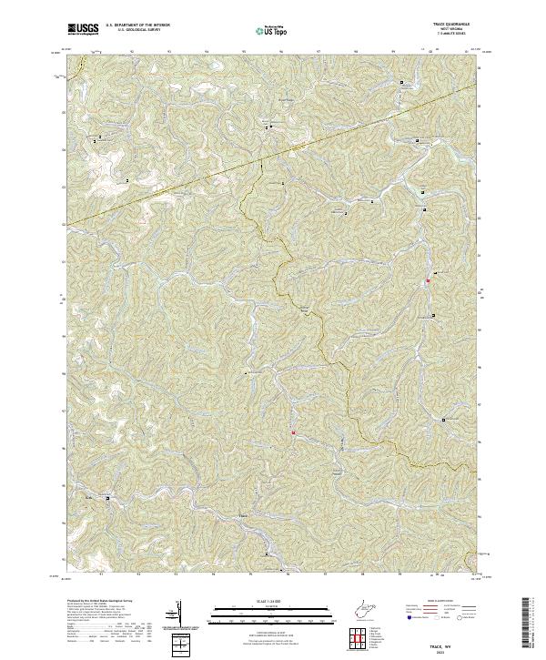
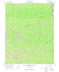
East Fork Twelvepole Creek winds through this section of the West Virginia coalfields, where the borders of Wayne, Lincoln, Logan, and Mingo counties converge. The small settlements of Kirk and Trace anchor a landscape defined by narrow hollows and high ridges like Bryan Ridge and Hoover Knob. Transportation patterns here reflect the transition from industrial utility to rural access, particularly evident in the Old N W Railroad Bed Rd, which traces a historical rail corridor through the creek valley. For genealogists, the map is remarkably dense with family-named landmarks and burial sites, including Mullins-Adams Cem, Thompson Branch Cem, and Meeks Cem. These cemeteries, often tucked into side drainages like Thompson Branch or Smokehouse Fork, provide a critical spatial record of the families who settled this dissected plateau.
Find a feature on this map
110 named features on this map. Tap any name to fly to it.
Don’t see what you’re looking for? This feature index may not catch every label — zoom into the map to look around manually.
Map Details
Editions of this 2023 Trace Map
This is the sole edition of this map. No revisions or reprints were ever made.
Historical Maps of Trace Through Time
24 maps found

1910 Naugatuck
Mingo County, WV

1912 Naugatuck
Mingo County, WV

1915 Naugatuck
Mingo County, WV
1917 Naugatuck
Mingo County, WV

1926 Naugatuck
Mingo County, WV

1928 Naugatuck
Mingo County, WV
1954 Naugatuck
Mingo County, WV
1954 Wharncliffe
Mingo County, WV
1963 Barnabus
Mingo County, WV
1963 Myrtle
Mingo County, WV
1963 Naugatuck
Mingo County, WV

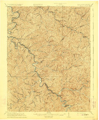
1963 Trace
Mingo County, WV
1963 Wharncliffe
Mingo County, WV
1964 Majestic
Mingo County, WV
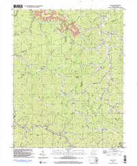
1996 Barnabus
Mingo County, WV
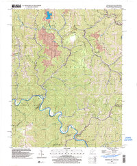
1996 Myrtle
Mingo County, WV
1997 Naugatuck
Mingo County, WV
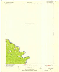
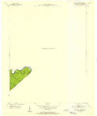
1997 Trace
Mingo County, WV
2001 Wharncliffe
Mingo County, WV
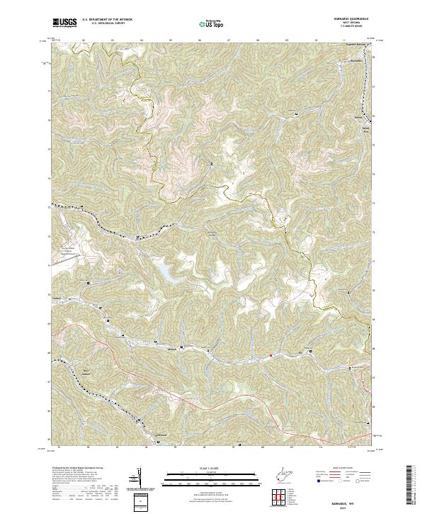
2023 Barnabus
Mingo County, WV
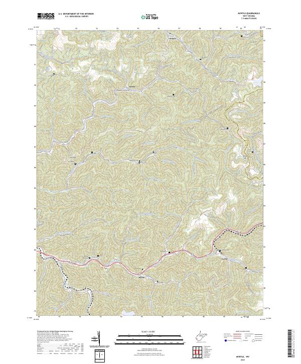
2023 Myrtle
Mingo County, WV
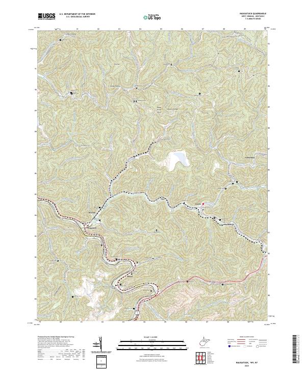
2023 Naugatuck
Mingo County, WV
2023 Trace
Mingo County, WV
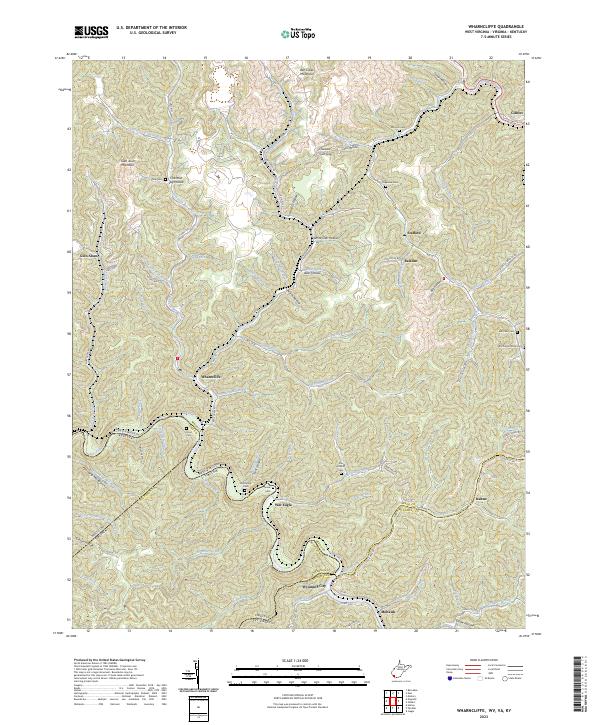
2023 Wharncliffe
Mingo County, WV