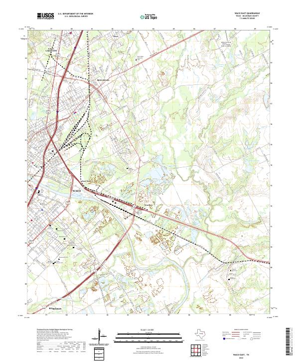
2022 Map of Waco East
USGS Topo · Published 2022About this map
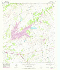
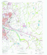
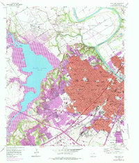
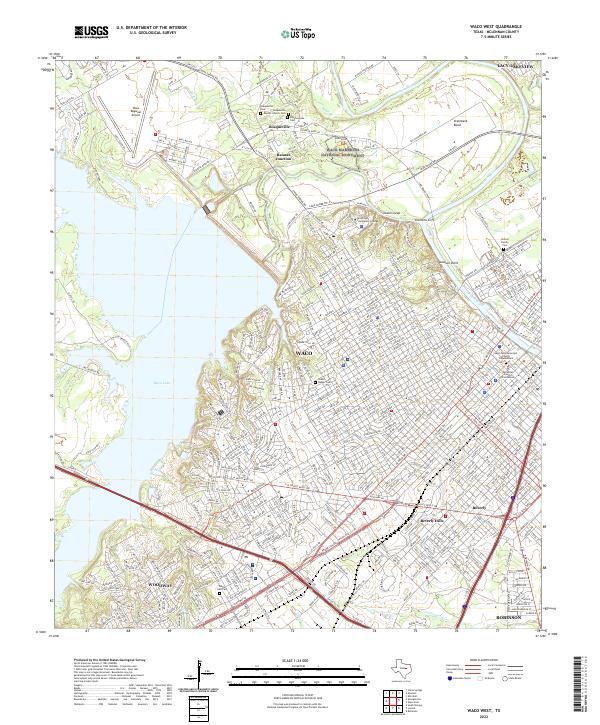
The Brazos River divides the landscape of this Central Texas quadrangle, flowing between the central city of Waco and its eastern neighbors. The map reveals a dense concentration of cultural and genealogical sites, particularly the cluster of cemeteries including First Street Cem, Hebrew Rest Cem, and Holy Cross Cem near the university district. Further south, the sprawl of Rosemound Cem and Rosemound Garden of Memories Cem sits alongside Agudath Jacob Cem and Rodef Sholom Cem, marking a significant area of local heritage.
Find a feature on this map
209 named features on this map. Tap any name to fly to it.
Don’t see what you’re looking for? This feature index may not catch every label — zoom into the map to look around manually.
Map Details
Editions of this 2022 Waco East Map
This is the sole edition of this map. No revisions or reprints were ever made.
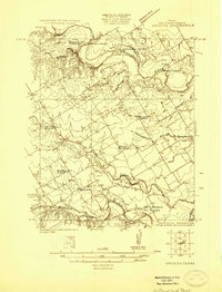
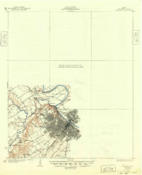
Historical Maps of Neale Through Time
22 maps found
1924 Waco 3-d
McLennan County, TX
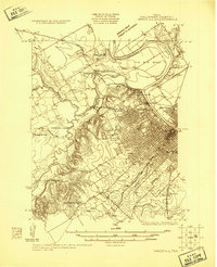
1924 Waco 4-c
McLennan County, TX
1931 Elm Mott
McLennan County, TX
1931 Mc Gregor
McLennan County, TX

1955 Coryell
McLennan County, TX
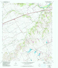
1956 Axtell
McLennan County, TX
1957 China Springs
McLennan County, TX
1957 Elk
McLennan County, TX
1957 Elm Mott
McLennan County, TX
1957 Speegleville
McLennan County, TX
1957 Waco East
McLennan County, TX
1957 Waco West
McLennan County, TX
1965 South Bosque
McLennan County, TX
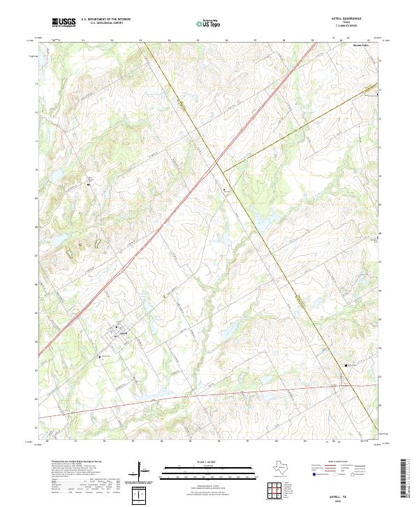
2022 Axtell
McLennan County, TX
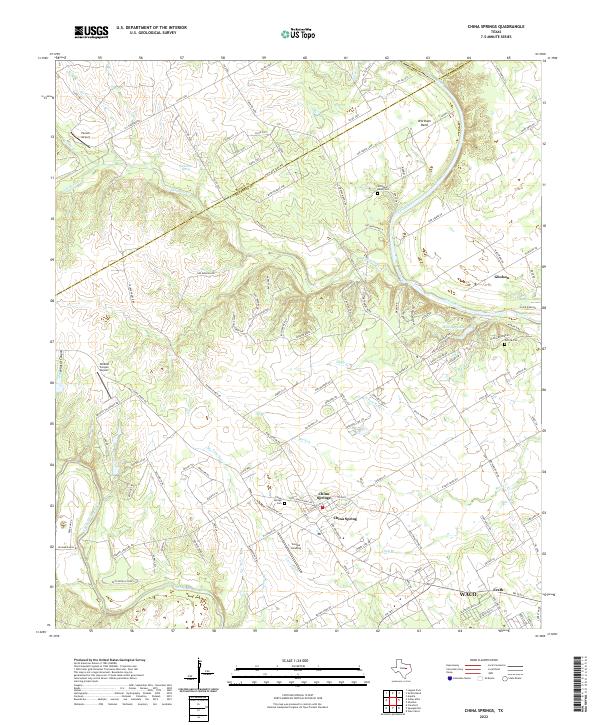
2022 China Springs
McLennan County, TX
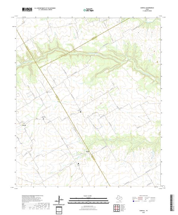
2022 Coryell
McLennan County, TX
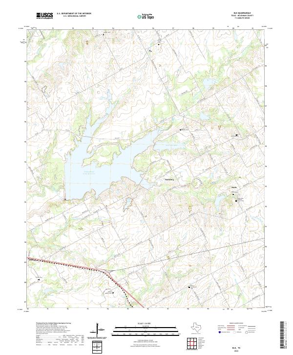
2022 Elk
McLennan County, TX
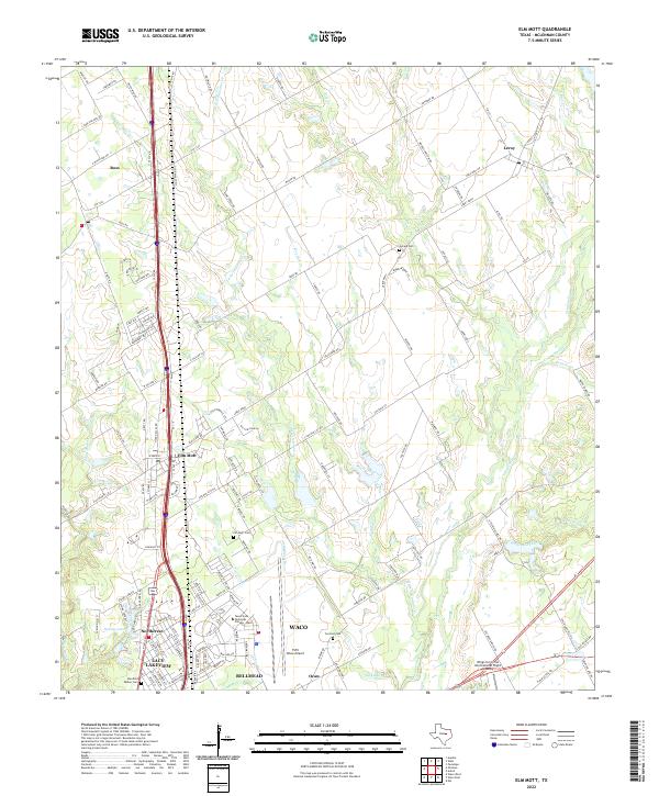
2022 Elm Mott
McLennan County, TX
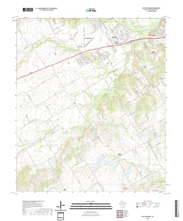
2022 South Bosque
McLennan County, TX
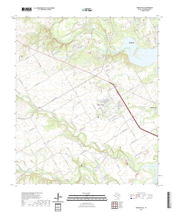
2022 Speegleville
McLennan County, TX
2022 Waco East
McLennan County, TX
2022 Waco West
McLennan County, TX