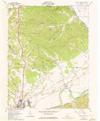
1961 Map of Waverly North
USGS Topo · Published 1972About this map
The Scioto River dominates this landscape, serving as the historical dividing line between the rugged, wooded slopes of the Scioto Trail State Forest to the west and the rolling farmland of Liberty and Jefferson to the east. This 1961 record, with 1971 updates, captures the transition of the region as industrial footprints like the Norfolk and Western and the Detroit Toledo and Ironton railroads shaped the valley's development.
Find a feature on this map
73 named features on this map. Tap any name to fly to it.
Don’t see what you’re looking for? This feature index may not catch every label — zoom into the map to look around manually.
Map Details
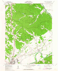
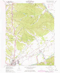
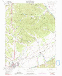
Editions of this 1961 Waverly North Map
4 editions found
Other maps of this area

1906 · Waverly
USGS Topo · 1:62,500

1906 · Chillicothe
USGS Topo · 1:62,500

1908 · Chillicothe
USGS Topo · 1:62,500

1908 · Waverly
USGS Topo · 1:62,500

1912 · Roxabell
USGS Topo · 1:62,500

1914 · Roxabell
USGS Topo · 1:62,500

1915 · Piketon
USGS Topo · 1:62,500

1917 · Piketon
USGS Topo · 1:62,500

1944 · Piketon
USGS Topo · 1:62,500

1944 · Roxabell
USGS Topo · 1:62,500