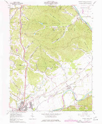
1961 Map of Waverly North
USGS Topo · Published 1977About this map
The Scioto River valley serves as the primary corridor for transportation and settlement on this 1960s-era map, where the winding waterway is paralleled by the legacy of the Erie Canal (Abandoned). The northern reach of Waverly and the retirement community at Bristol Village anchor the southern end of the map, while the dense woodlands of the Scioto Trail State Forest dominate the central uplands. This area is a significant landscape for genealogists, featuring numerous family-named burial sites such as Condon Cem, Corwine Cem, and Brust Cem situated along the river's fertile banks.
Find a feature on this map
70 named features on this map. Tap any name to fly to it.
Don’t see what you’re looking for? This feature index may not catch every label — zoom into the map to look around manually.
Map Details
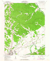
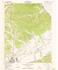
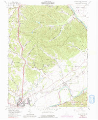
Editions of this 1961 Waverly North Map
4 editions found
Other maps of this area

1906 · Waverly
USGS Topo · 1:62,500

1906 · Chillicothe
USGS Topo · 1:62,500

1908 · Chillicothe
USGS Topo · 1:62,500

1908 · Waverly
USGS Topo · 1:62,500

1912 · Roxabell
USGS Topo · 1:62,500

1914 · Roxabell
USGS Topo · 1:62,500

1915 · Piketon
USGS Topo · 1:62,500

1917 · Piketon
USGS Topo · 1:62,500

1944 · Piketon
USGS Topo · 1:62,500

1944 · Roxabell
USGS Topo · 1:62,500