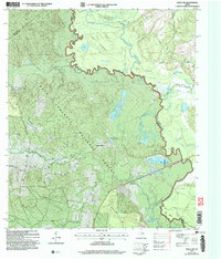
2004 Map of Wells SW
USGS Topo · Published 2006About this map
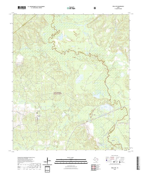
The Neches River forms a winding border between Trinity and Angelina Counties, defining a landscape dominated by the Davy Crockett National Forest. This interior region of East Texas shows a pattern of river-oriented recreation and rural infrastructure, where several private hunting or social clubs like the Pine Island Club and Angelina Club sit alongside the oxbows and sloughs of the river bottom. The river's serpentine course is evidenced by features like the Old Channel and the Big Bend Slough, showing the shifting nature of the waterway over time.
Find a feature on this map
33 named features on this map. Tap any name to fly to it.
Don’t see what you’re looking for? This feature index may not catch every label — zoom into the map to look around manually.
Map Details
Editions of this 2004 Wells SW Map
This is the sole edition of this map. No revisions or reprints were ever made.
Historical Maps of Vair Through Time
28 maps found

1950 Centralia
Trinity County, TX

1951 Centralia
Trinity County, TX
1951 Wells SW
Trinity County, TX
1960 Trinity East
Trinity County, TX
1962 Glendale
Trinity County, TX
1963 Apple Springs
Trinity County, TX

1963 Crecy
Trinity County, TX
1963 Groveton East
Trinity County, TX
1963 Groveton West
Trinity County, TX
1963 Pennington
Trinity County, TX
1963 Trevat
Trinity County, TX
2004 Centralia
Trinity County, TX
2004 Crecy
Trinity County, TX
2004 Groveton East
Trinity County, TX
2004 Groveton West
Trinity County, TX
2004 Trevat
Trinity County, TX
2004 Wells SW
Trinity County, TX
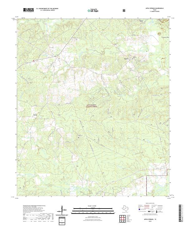
2022 Apple Springs
Trinity County, TX
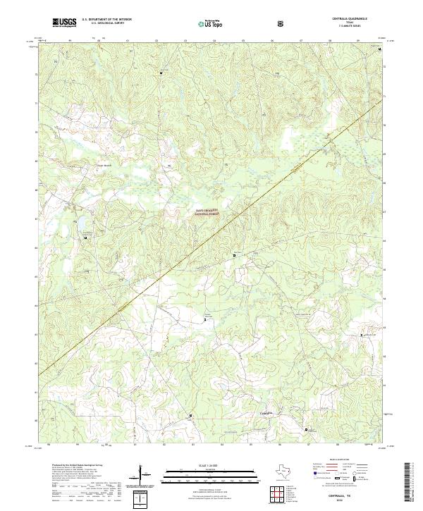
2022 Centralia
Trinity County, TX
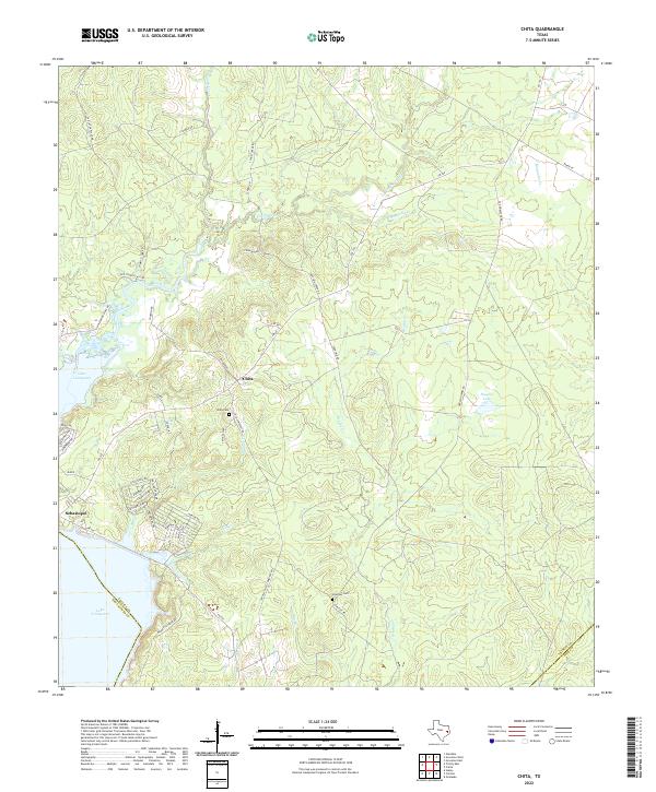
2022 Chita
Trinity County, TX
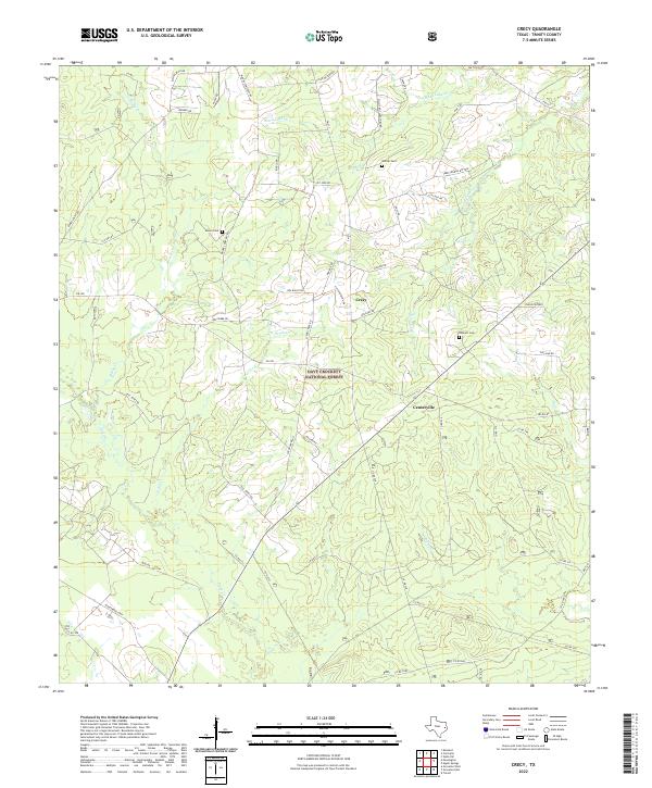
2022 Crecy
Trinity County, TX
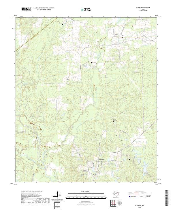
2022 Glendale
Trinity County, TX
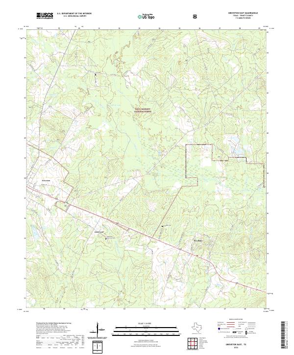
2022 Groveton East
Trinity County, TX
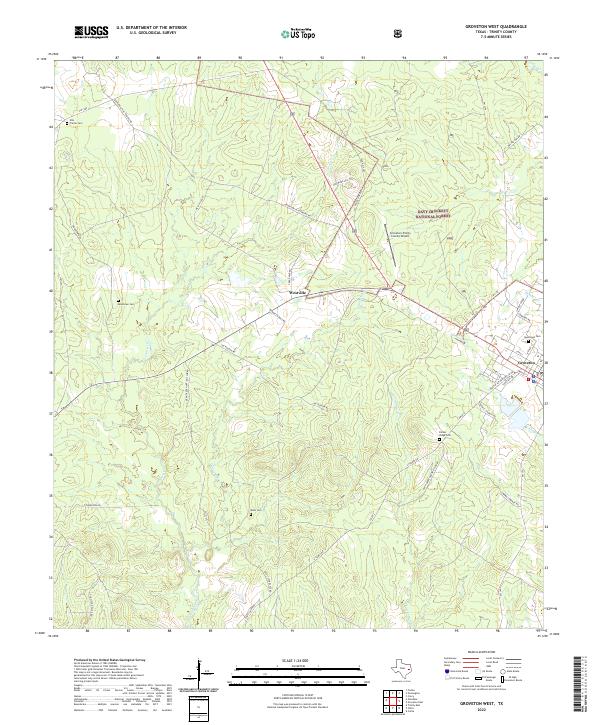
2022 Groveton West
Trinity County, TX
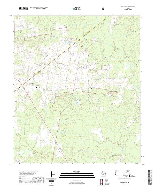
2022 Pennington
Trinity County, TX
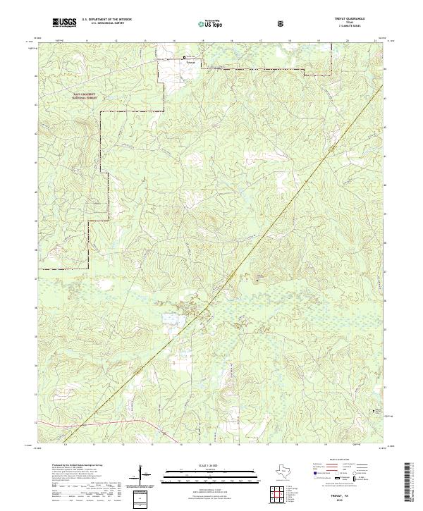
2022 Trevat
Trinity County, TX
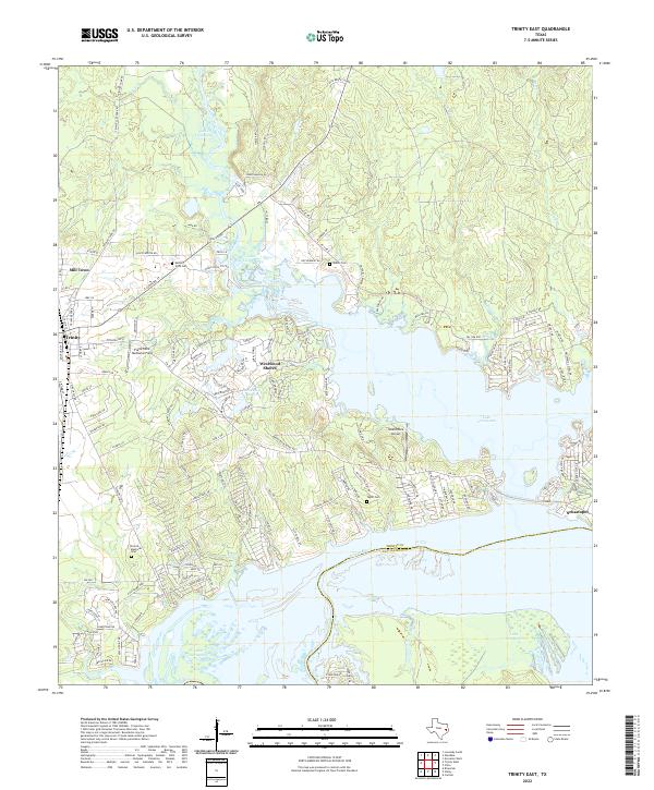
2022 Trinity East
Trinity County, TX
2022 Wells SW
Trinity County, TX