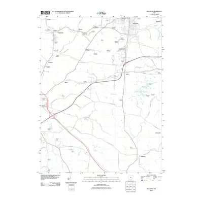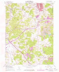
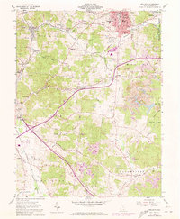
1961 Map of Wellston
USGS Topo · Published 1977About this map
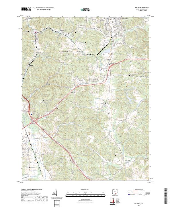
Wellston serves as the industrial and civic anchor of this Jackson County landscape, characterized by a complex network of resource extraction and transit during the mid-20th century. The heavy footprint of the Baltimore and Ohio railroad dictates the orientation of many smaller settlements like Coalton, Glen Roy, and Tom Corwin, which grew alongside the region's coal operations. Extensive strip mining activity is visible throughout the terrain, particularly east of the city and near Hothouse Ridge, reflecting the era's intensive land use. Local history is deeply embedded in the rural infrastructure, from the County Fairground and Winters Airport to the numerous small family and community burial grounds such as Licks Cem and Sullivan Cem. Educational and spiritual centers including SS Peter & Paul Sch, Columbia Chapel, and Central Sch illustrate the community fabric of the neighboring townships of Coal, Milton, and Lick.
Find a feature on this map
70 named features on this map. Tap any name to fly to it.
Don’t see what you’re looking for? This feature index may not catch every label — zoom into the map to look around manually.
Map Details
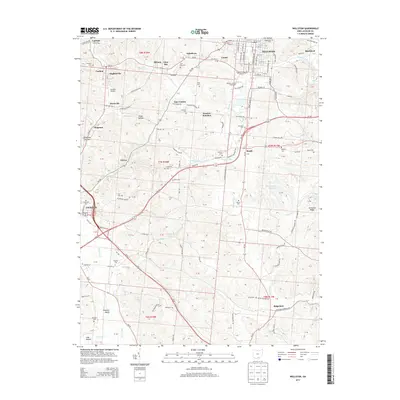
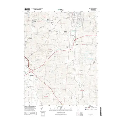
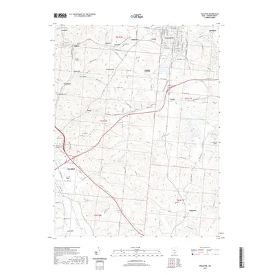
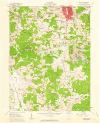
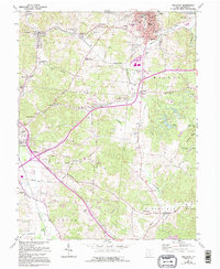
Editions of this 1961 Wellston Map
5 editions found
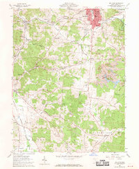
Historical Maps of Jackson Through Time
7 maps found