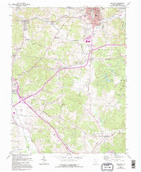
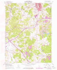
1961 Map of Wellston
USGS Topo · Published 1995About this map
Wellston serves as the industrial and population hub of this Jackson County landscape, characterized by its deep ties to coal mining and early rail transport. The settlement patterns of Coalton, Glen Roy, and Goldsboro reflect the intensive resource extraction of the era, with numerous cemeteries like Licks Cem and Sullivan Cem scattered across the surrounding hills. Transport networks are a central theme, featuring the Old Railroad Grade and specialized infrastructure such as Ironton Junction and the small Winters Airport.
Find a feature on this map
79 named features on this map. Tap any name to fly to it.
Don’t see what you’re looking for? This feature index may not catch every label — zoom into the map to look around manually.
Map Details
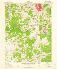
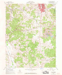
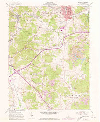
Editions of this 1961 Wellston Map
5 editions found
Other maps of this area

1905 · Wilkesville
USGS Topo · 1:62,500

1906 · Bidwell
USGS Topo · 1:62,500

1908 · Bidwell
USGS Topo · 1:62,500

1908 · Wilkesville
USGS Topo · 1:62,500

1912 · Oak Hill
USGS Topo · 1:62,500

1913 · Jackson
USGS Topo · 1:62,500

1944 · Jackson
USGS Topo · 1:62,500

1947 · Columbus
USGS Topo · 1:250,000

1957 · Huntington
USGS Topo · 1:250,000

1960 · Huntington
USGS Topo · 1:250,000