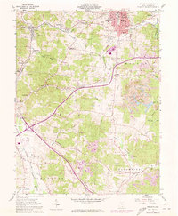
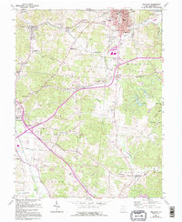
1961 Map of Wellston
USGS Topo · Published 1973About this map
The industrial corridor of southern Ohio is on full display in this survey of the northern coalfields of Jackson County. Wellston serves as the regional hub, its grid dense with local landmarks such as Wells Sch, SS Peter & Paul Sch, and the Ridgewood Cemetery. The surrounding landscape is a complex network of resource extraction and transit, where Strip Mine operations are interspersed with small settlements like Coalton, Glen Roy, and Goldsboro.
Find a feature on this map
68 named features on this map. Tap any name to fly to it.
Don’t see what you’re looking for? This feature index may not catch every label — zoom into the map to look around manually.
Map Details
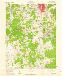
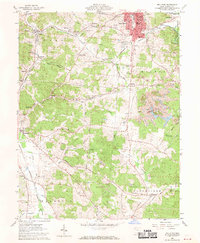
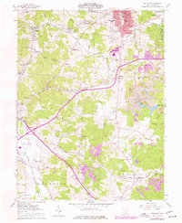
Editions of this 1961 Wellston Map
5 editions found
Other maps of this area

1905 · Wilkesville
USGS Topo · 1:62,500

1906 · Bidwell
USGS Topo · 1:62,500

1908 · Bidwell
USGS Topo · 1:62,500

1908 · Wilkesville
USGS Topo · 1:62,500

1912 · Oak Hill
USGS Topo · 1:62,500

1913 · Jackson
USGS Topo · 1:62,500

1944 · Jackson
USGS Topo · 1:62,500

1947 · Columbus
USGS Topo · 1:250,000

1957 · Huntington
USGS Topo · 1:250,000

1960 · Huntington
USGS Topo · 1:250,000