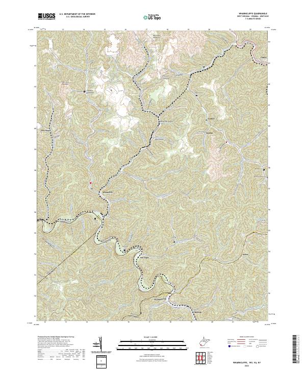
2023 Map of Wharncliffe
USGS Topo · Published 2023About this map
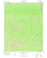
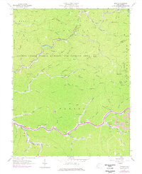
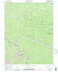
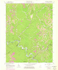
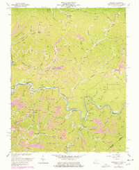
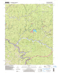
Tug Fork carves a winding path through the borderlands of Mingo County, West Virginia, and Buchanan County, Virginia, anchoring a landscape defined by sharp ridges and deep hollows. The river corridor serves as the primary artery for settlement, connecting places like War Eagle, Wyoming City, and Wharncliffe. High above the river, Glen Alum Mountain and Ben Creek Mountain rise above complex drainage networks including Ben Creek and Gilbert Creek. Smaller settlements like Baisden and Stafford are tucked into the interior valleys along Adams Fork and Laurel Fork.
Find a feature on this map
101 named features on this map. Tap any name to fly to it.
Don’t see what you’re looking for? This feature index may not catch every label — zoom into the map to look around manually.
Map Details
Editions of this 2023 Wharncliffe Map
This is the sole edition of this map. No revisions or reprints were ever made.
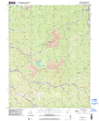
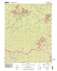
Historical Maps of Mohawk Through Time
24 maps found

1910 Naugatuck
Mingo County, WV

1912 Naugatuck
Mingo County, WV

1915 Naugatuck
Mingo County, WV
1917 Naugatuck
Mingo County, WV

1926 Naugatuck
Mingo County, WV

1928 Naugatuck
Mingo County, WV
1954 Naugatuck
Mingo County, WV
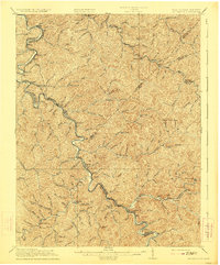
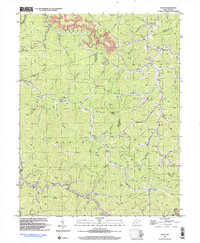
1954 Wharncliffe
Mingo County, WV
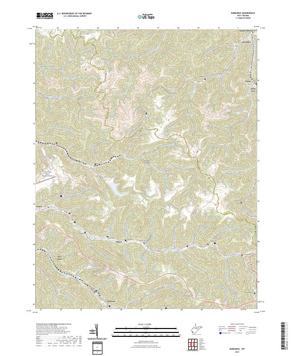
1963 Barnabus
Mingo County, WV
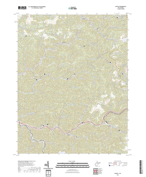
1963 Myrtle
Mingo County, WV
1963 Naugatuck
Mingo County, WV

1963 Trace
Mingo County, WV
1963 Wharncliffe
Mingo County, WV
1964 Majestic
Mingo County, WV
1996 Barnabus
Mingo County, WV
1996 Myrtle
Mingo County, WV
1997 Naugatuck
Mingo County, WV
1997 Trace
Mingo County, WV
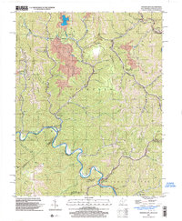
2001 Wharncliffe
Mingo County, WV
2023 Barnabus
Mingo County, WV
2023 Myrtle
Mingo County, WV
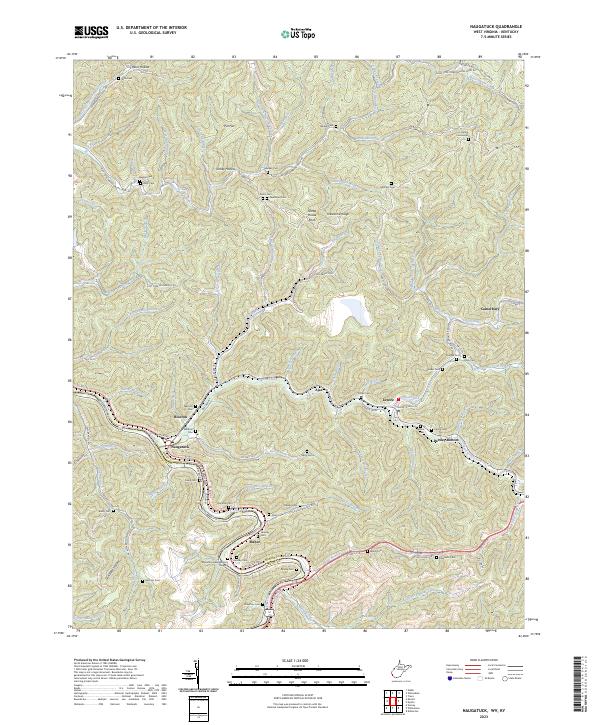
2023 Naugatuck
Mingo County, WV
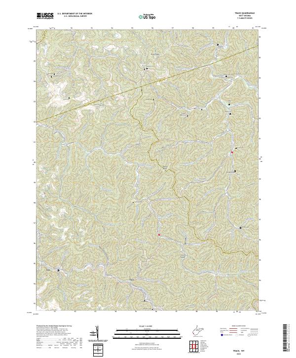
2023 Trace
Mingo County, WV
2023 Wharncliffe
Mingo County, WV