
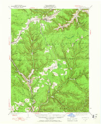
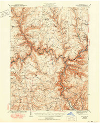
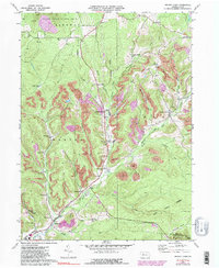
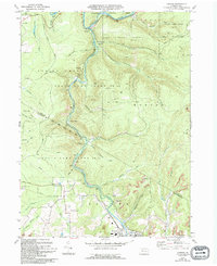
2023 Map of Wildwood Fire Tower
USGS Topo · Published 2023About this map
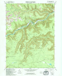
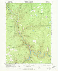
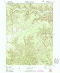
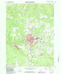
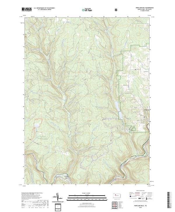
The rugged topography of the Pennsylvania high country defines this landscape, where the Elk County and Cameron County border weaves through deep-cut valleys and high ridges. The settlement of Straight Creek occupies a prominent position in the northern reaches, while the northern edge of St. Marys appears in the southwest, connected by a network of drainage-following roads like Shawmut Grade Rd and Straight Creek Rd. The terrain is characterized by numerous named hollows, including Transfer Hollow, Company Hollow, and Naval Hollow, which serve as natural collectors for the region's dense water network.
Find a feature on this map
58 named features on this map. Tap any name to fly to it.
Don’t see what you’re looking for? This feature index may not catch every label — zoom into the map to look around manually.
Map Details
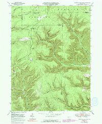
Editions of this 2023 Wildwood Fire Tower Map
This is the sole edition of this map. No revisions or reprints were ever made.
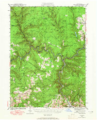
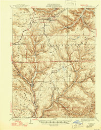
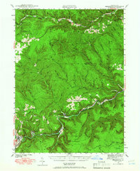
Historical Maps of Straight Creek Through Time
27 maps found
1935 Mt. Jewett
Elk County, PA
1940 Hallton
Elk County, PA
1940 Mt. Jewett
Elk County, PA
1941 Benezette
Elk County, PA

1943 Benezette
Elk County, PA
1943 Hallton
Elk County, PA
1948 Wildwood Fire Tower
Elk County, PA
1950 Wildwood Fire Tower
Elk County, PA
1966 Russell City
Elk County, PA
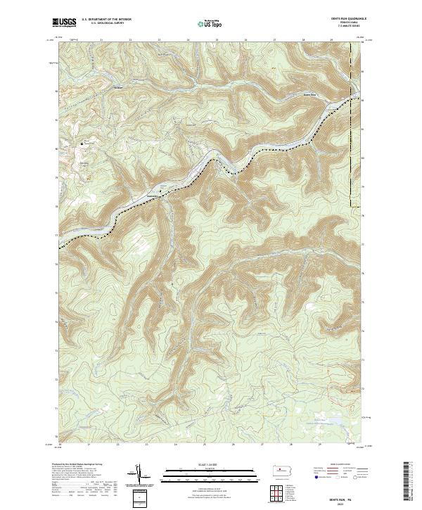
1969 Dents Run
Elk County, PA

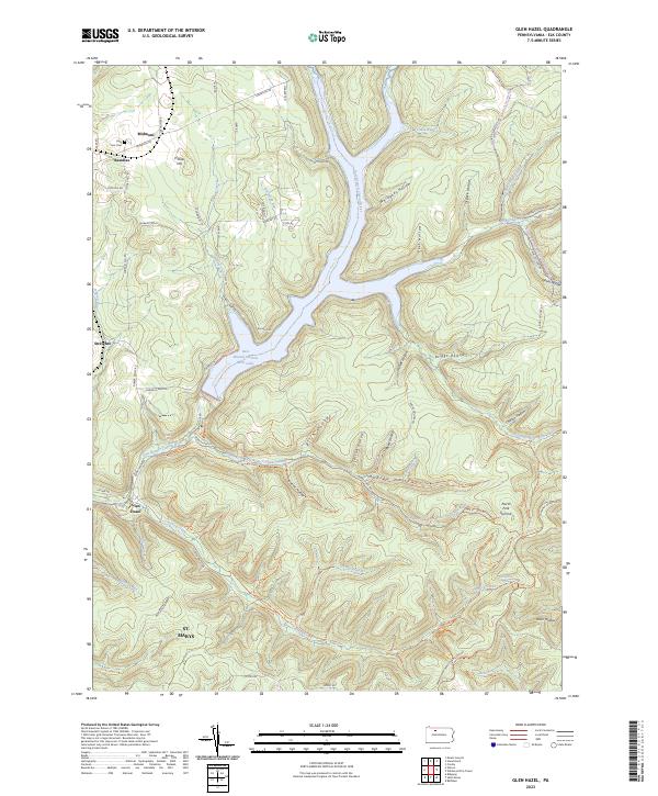
1969 Glen Hazel
Elk County, PA
1969 Hallton
Elk County, PA

1969 Portland Mills
Elk County, PA
1969 Rathbun
Elk County, PA
1969 Saint Marys
Elk County, PA
1970 Brandy Camp
Elk County, PA
1970 Carman
Elk County, PA

2023 Brandy Camp
Elk County, PA

2023 Carman
Elk County, PA
2023 Dents Run
Elk County, PA
2023 Glen Hazel
Elk County, PA

2023 Hallton
Elk County, PA
2023 Portland Mills
Elk County, PA

2023 Rathbun
Elk County, PA

2023 Russell City
Elk County, PA

2023 Saint Marys
Elk County, PA
2023 Wildwood Fire Tower
Elk County, PA
Featured Locations
- Shippen Township, PA
- Jones Township, PA
- Saint Marys, PA
- Norwich Township, PA
- Straight Creek, Jones Township