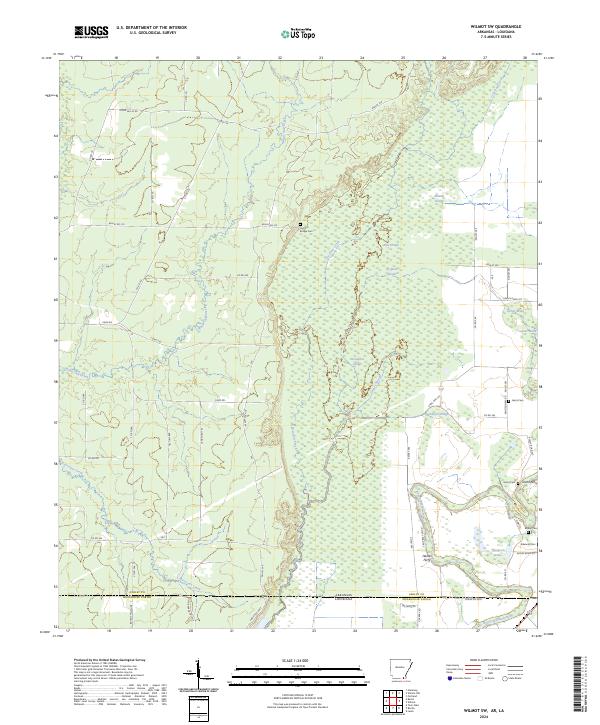
2024 Map of Wilmot SW
USGS Topo · Published 2024About this map
Overflow National Wildlife Refuge dominates this section of the Arkansas and Louisiana borderlands, preserving a complex network of wetlands and seasonal watercourses. The landscape is defined by the shifting paths of White Oak Creek and the southern reaches of Bayou Bartholomew, which wind through a dense collection of oxbows and sloughs including Ox Bone Slough and Horseshoe Slough. This region's history as a riverine corridor is evidenced by the locations of Grant Ferry and Haines Ferry, historical crossing points that once connected the isolated tracts of Ashley County and Morehouse Parish.
Find a feature on this map
69 named features on this map. Tap any name to fly to it.
Don’t see what you’re looking for? This feature index may not catch every label — zoom into the map to look around manually.
Map Details
Editions of this 2024 Wilmot SW Map
This is the sole edition of this map. No revisions or reprints were ever made.
Historical Maps of Louisiana Through Time
25 maps found

1935 Mist
Ashley County, AR
1960 Mist
Ashley County, AR
1960 Mist
Ashley County, AR
1960 Snyder
Ashley County, AR
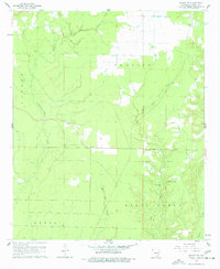
1960 Wilmot NW
Ashley County, AR
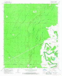
1960 Wilmot SW
Ashley County, AR
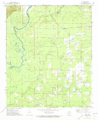
1971 Milo
Ashley County, AR
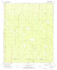
1973 Berlin
Ashley County, AR
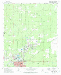
1973 Crossett North
Ashley County, AR
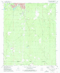
1973 Crossett South
Ashley County, AR
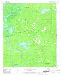
1981 Felsenthal Dam
Ashley County, AR
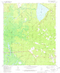
1981 Marais Saline
Ashley County, AR
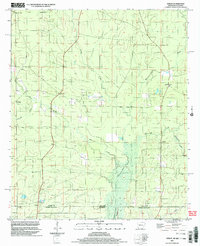
2002 Berlin
Ashley County, AR
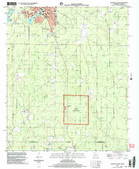
2002 Crossett South
Ashley County, AR
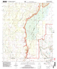
2002 Wilmot SW
Ashley County, AR
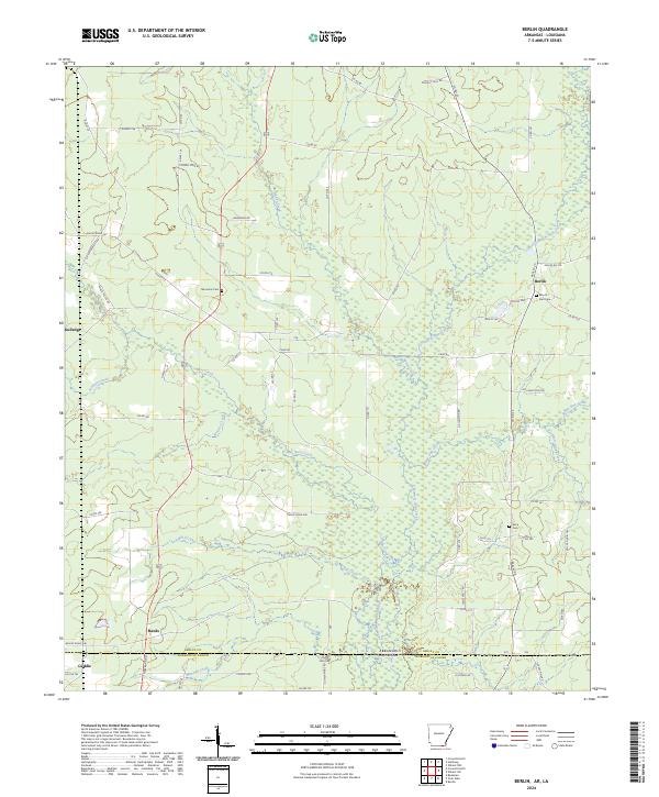
2024 Berlin
Ashley County, AR
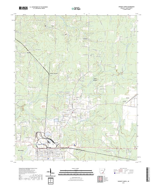
2024 Crossett North
Ashley County, AR
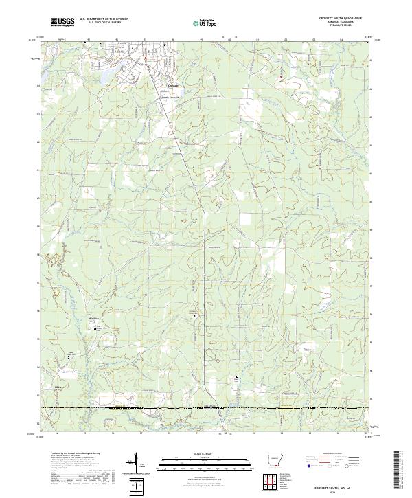
2024 Crossett South
Ashley County, AR
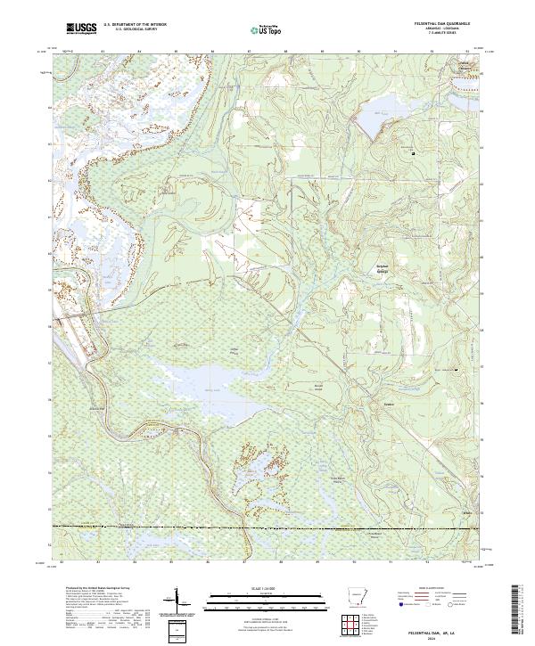
2024 Felsenthal Dam
Ashley County, AR
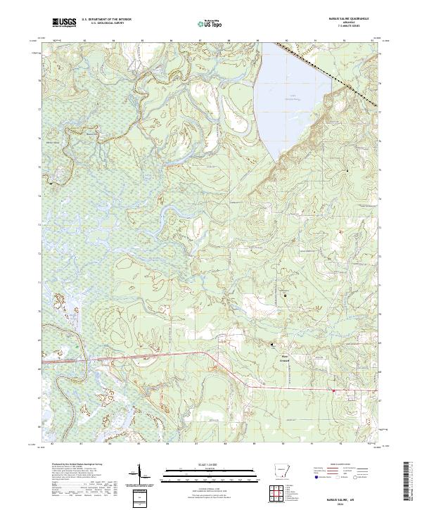
2024 Marais Saline
Ashley County, AR
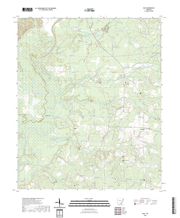
2024 Milo
Ashley County, AR
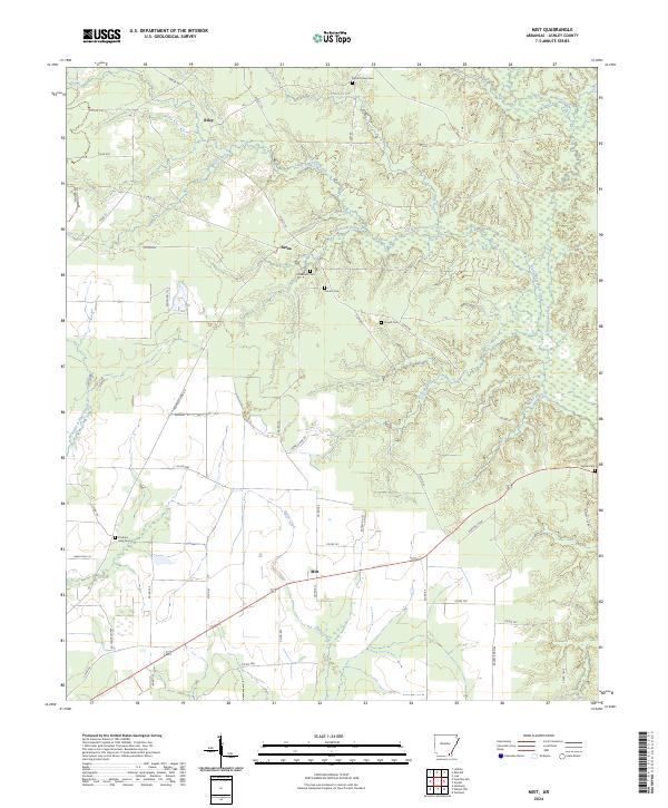
2024 Mist
Ashley County, AR
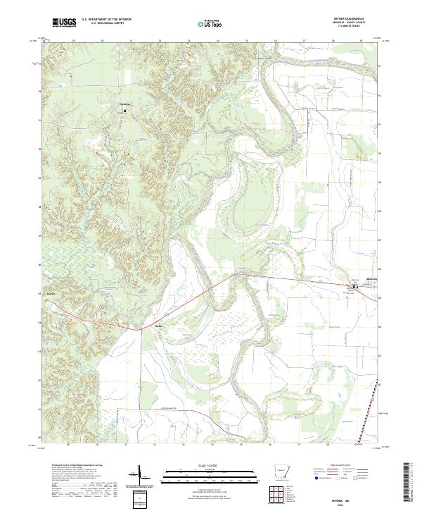
2024 Snyder
Ashley County, AR
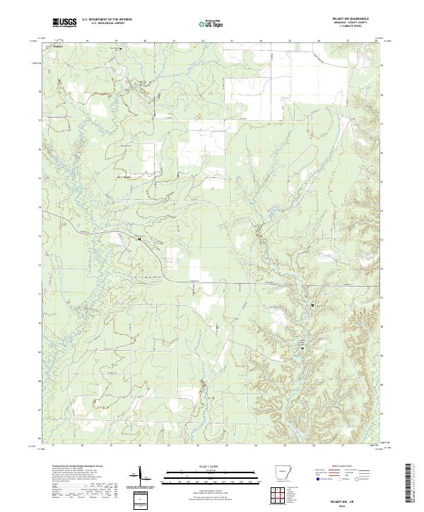
2024 Wilmot NW
Ashley County, AR
2024 Wilmot SW
Ashley County, AR