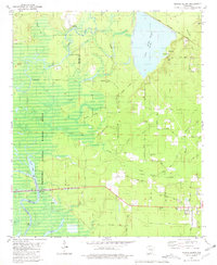
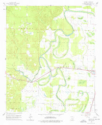
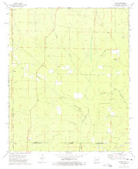
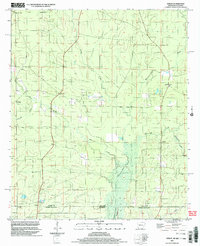
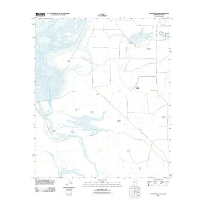
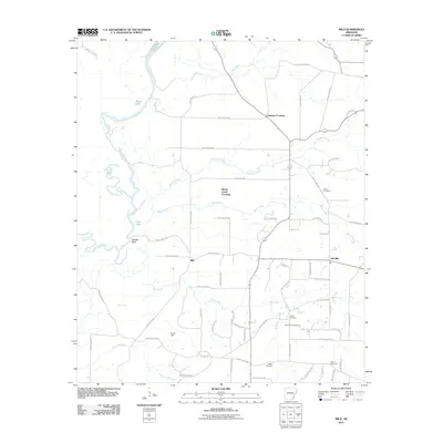
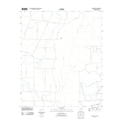
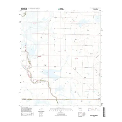
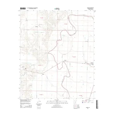
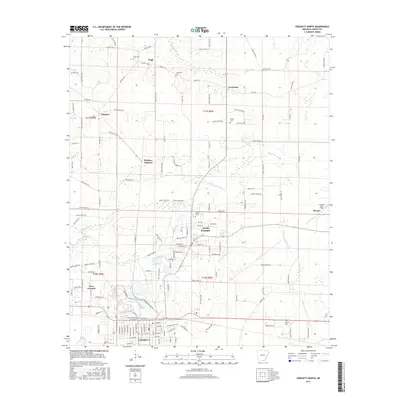
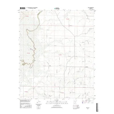
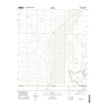
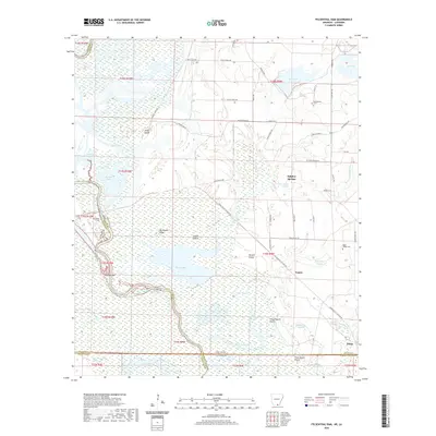
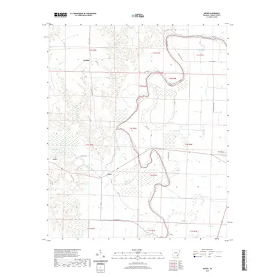
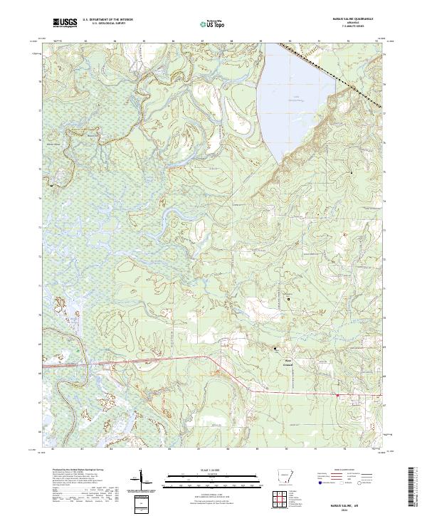
1981 Map of Marais Saline
USGS Topo · Published 1981About this map
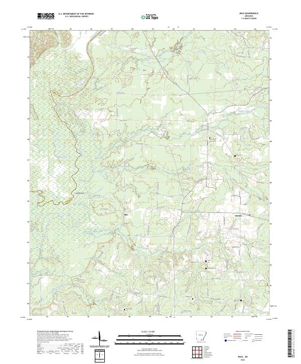
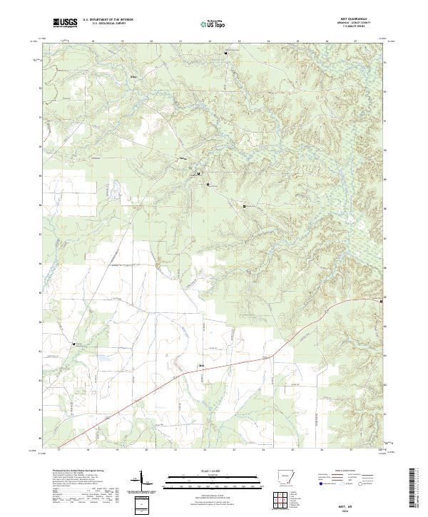
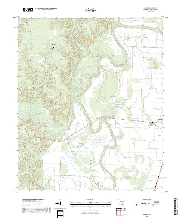
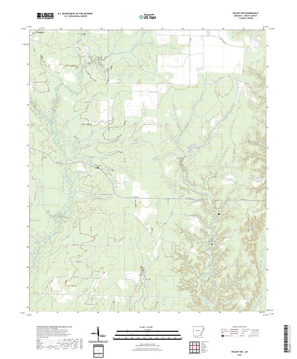
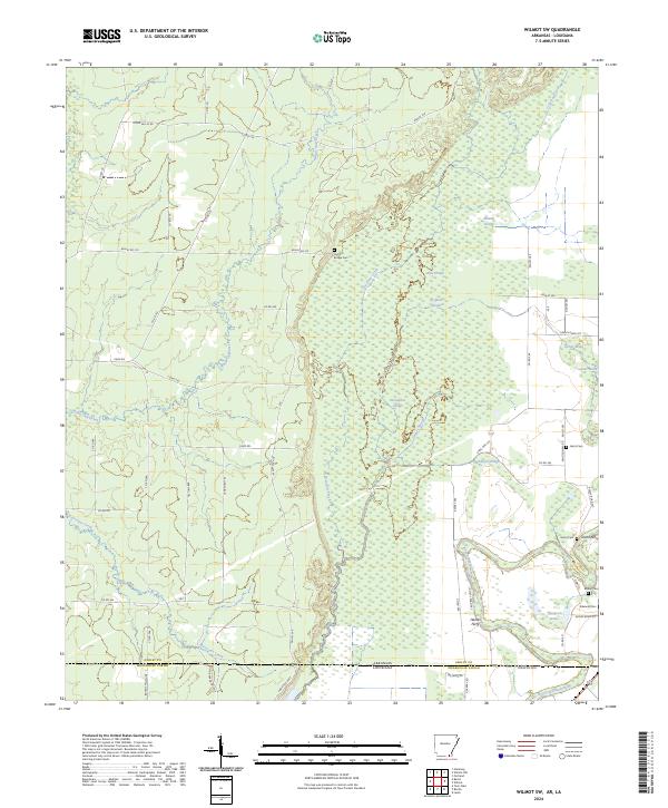
The Saline River and Ouachita River converge within the bottomland hardwoods of the Felsenthal National Wildlife Refuge, creating a landscape defined by seasonal flooding and shifting waterways. By the early 1980s, the construction of Georgia Pacific Lake had significantly altered the hydrology of the eastern portion of this territory. This survey documents the transition from wild river channels like Carroll Slough and Washerman Bayou to a managed landscape of recreational sites and industrial timber interests.
Find a feature on this map
50 named features on this map. Tap any name to fly to it.
Don’t see what you’re looking for? This feature index may not catch every label — zoom into the map to look around manually.
Map Details
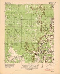
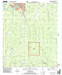
Editions of this 1981 Marais Saline Map
This is the sole edition of this map. No revisions or reprints were ever made.
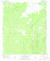
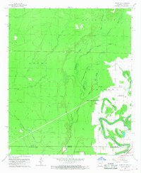
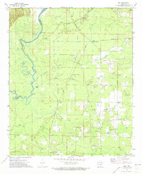
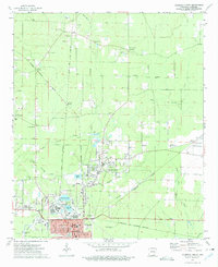
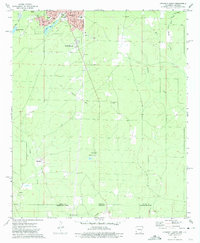
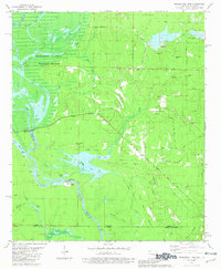
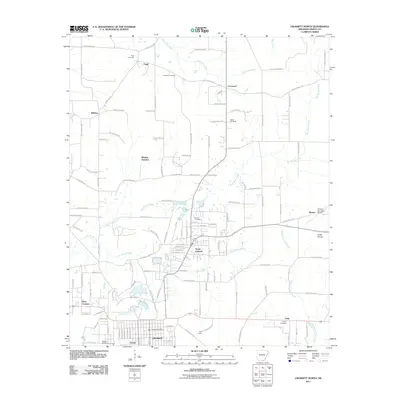
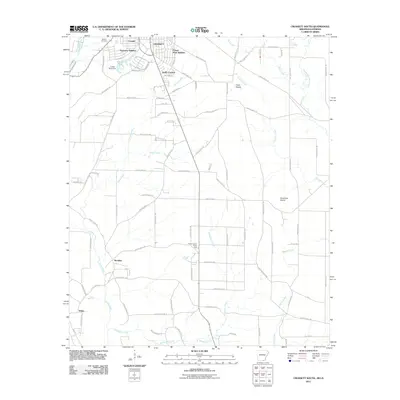
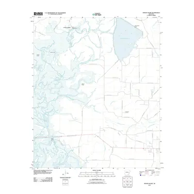
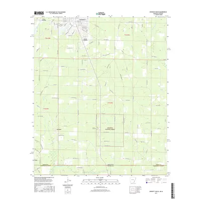
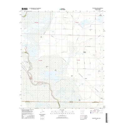
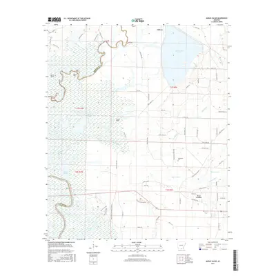
Historical Maps of Blanchton Through Time
65 maps found
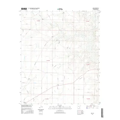
1935 Mist
Ashley County, AR
1960 Mist
Ashley County, AR
1960 Mist
Ashley County, AR
1960 Snyder
Ashley County, AR
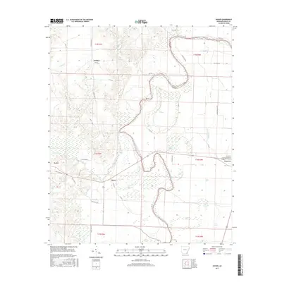
1960 Wilmot NW
Ashley County, AR
1960 Wilmot SW
Ashley County, AR
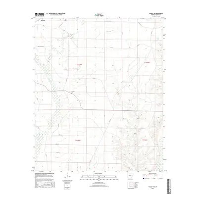
1971 Milo
Ashley County, AR
1973 Berlin
Ashley County, AR
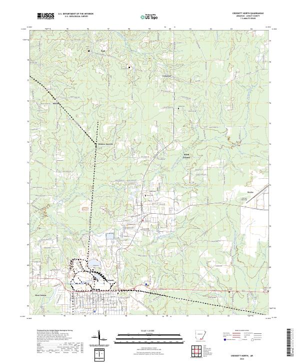
1973 Crossett North
Ashley County, AR
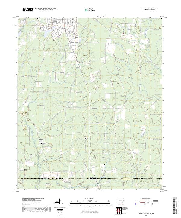
1973 Crossett South
Ashley County, AR
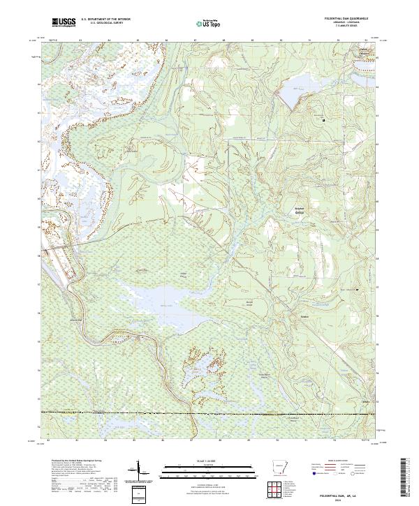
1981 Felsenthal Dam
Ashley County, AR
1981 Marais Saline
Ashley County, AR
2002 Berlin
Ashley County, AR
2002 Crossett South
Ashley County, AR
2002 Wilmot SW
Ashley County, AR
2011 Berlin
Ashley County, AR
2011 Crossett North
Ashley County, AR
2011 Crossett South
Ashley County, AR
2011 Felsenthal Dam
Ashley County, AR
2011 Marais Saline
Ashley County, AR
2011 Milo
Ashley County, AR
2011 Mist
Ashley County, AR
2011 Snyder
Ashley County, AR
2011 Wilmot NW
Ashley County, AR
2011 Wilmot SW
Ashley County, AR
2014 Berlin
Ashley County, AR
2014 Crossett North
Ashley County, AR
2014 Crossett South
Ashley County, AR
2014 Felsenthal Dam
Ashley County, AR
2014 Marais Saline
Ashley County, AR
2014 Milo
Ashley County, AR
2014 Mist
Ashley County, AR
2014 Snyder
Ashley County, AR
2014 Wilmot NW
Ashley County, AR
2014 Wilmot SW
Ashley County, AR
2017 Berlin
Ashley County, AR
2017 Crossett North
Ashley County, AR
2017 Crossett South
Ashley County, AR
2017 Felsenthal Dam
Ashley County, AR
2017 Marais Saline
Ashley County, AR
2017 Milo
Ashley County, AR
2017 Mist
Ashley County, AR
2017 Snyder
Ashley County, AR
2017 Wilmot NW
Ashley County, AR
2017 Wilmot SW
Ashley County, AR
2020 Berlin
Ashley County, AR
2020 Crossett North
Ashley County, AR
2020 Crossett South
Ashley County, AR
2020 Felsenthal Dam
Ashley County, AR
2020 Marais Saline
Ashley County, AR
2020 Milo
Ashley County, AR
2020 Mist
Ashley County, AR
2020 Snyder
Ashley County, AR
2020 Wilmot NW
Ashley County, AR
2020 Wilmot SW
Ashley County, AR
2024 Berlin
Ashley County, AR
2024 Crossett North
Ashley County, AR
2024 Crossett South
Ashley County, AR
2024 Felsenthal Dam
Ashley County, AR
2024 Marais Saline
Ashley County, AR
2024 Milo
Ashley County, AR
2024 Mist
Ashley County, AR
2024 Snyder
Ashley County, AR
2024 Wilmot NW
Ashley County, AR
2024 Wilmot SW
Ashley County, AR