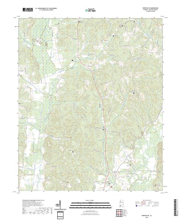
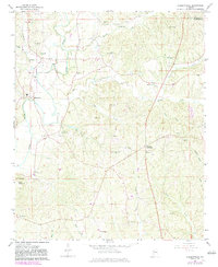
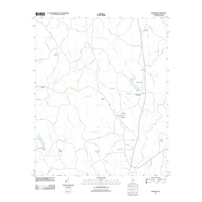
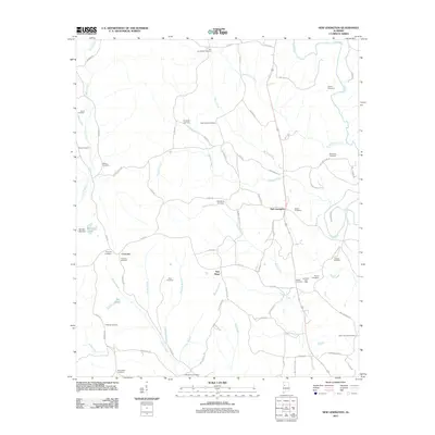
2024 Map of Winfield SE
USGS Topo · Published 2024About this map
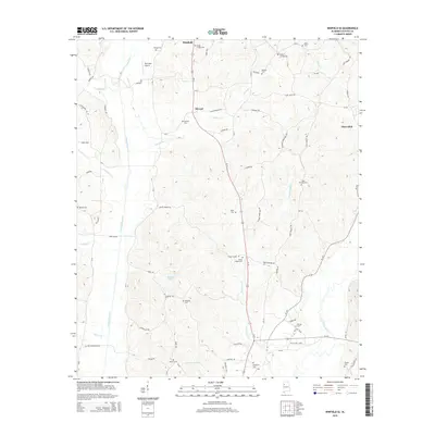
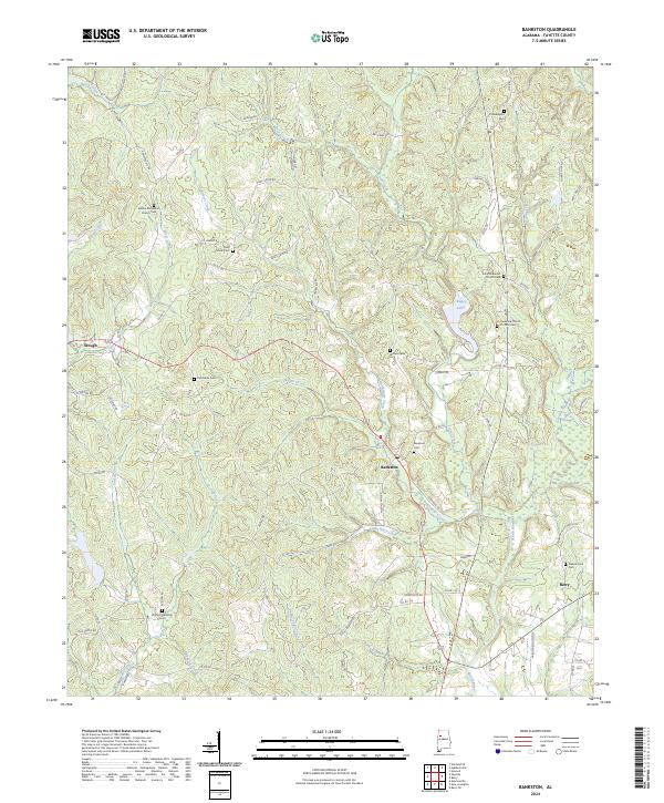
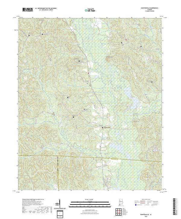
Luxapallila Creek and its many tributaries, including Stewart Creek and Langston Creek, carve through this section of Fayette County. The landscape is defined by a dense network of country roads like Dodson Xing and Byars Xing, which connect scattered homesteads and family cemeteries. Bird Nest Airport stands out as a modern landmark in the northwest corner, while the southeastern corner is anchored by the winding Sipsey River.
Find a feature on this map
77 named features on this map. Tap any name to fly to it.
Don’t see what you’re looking for? This feature index may not catch every label — zoom into the map to look around manually.
Map Details
Editions of this 2024 Winfield SE Map
This is the sole edition of this map. No revisions or reprints were ever made.
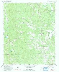
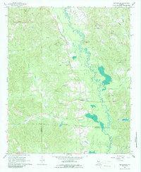
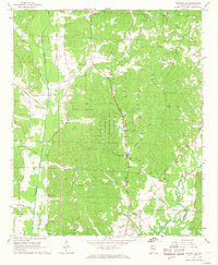
Historical Maps of Winfield Through Time
42 maps found
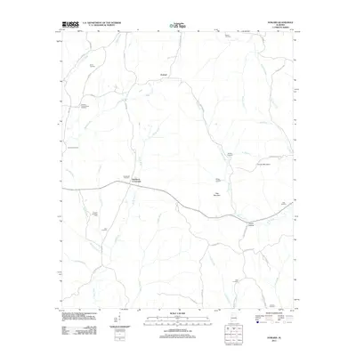
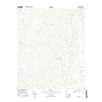
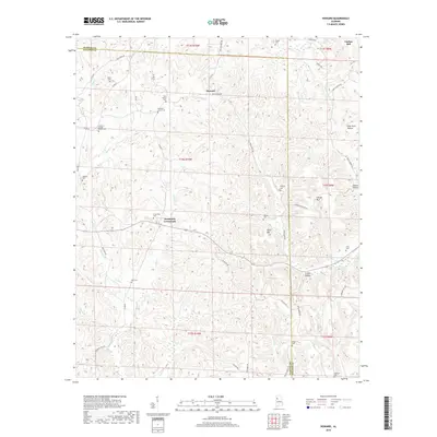
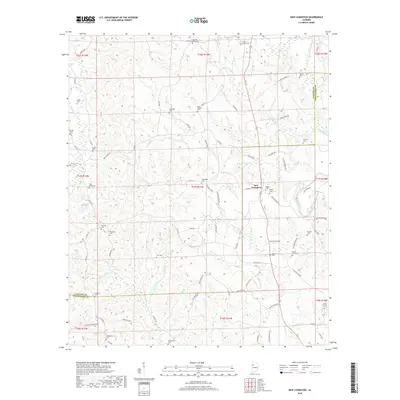
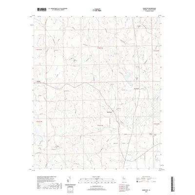
1967 Bankston
Fayette County, AL
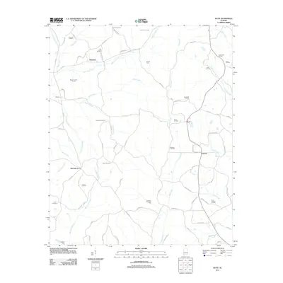
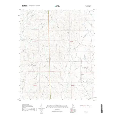
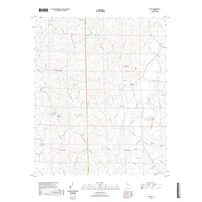
1967 Bluff
Fayette County, AL
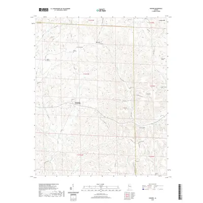
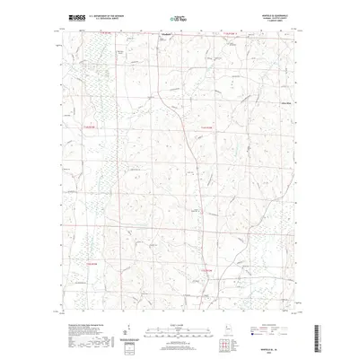
1967 Howard
Fayette County, AL
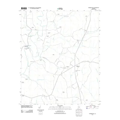
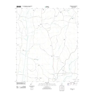
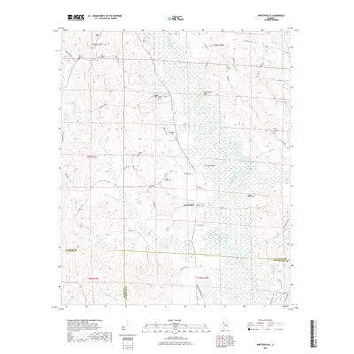
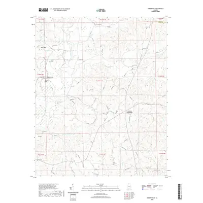
1967 Hubbertville
Fayette County, AL
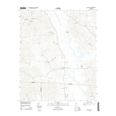
1967 New Lexington
Fayette County, AL
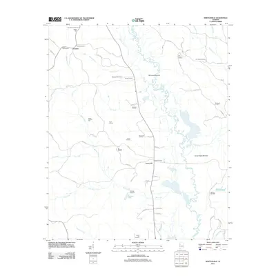
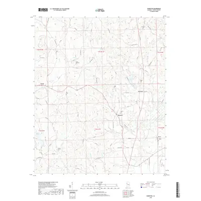
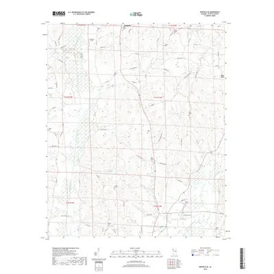
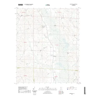
1967 Newtonville
Fayette County, AL
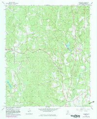
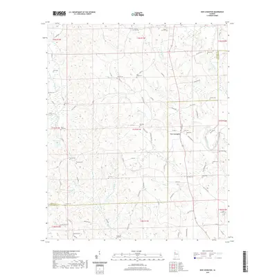
1967 Winfield SE
Fayette County, AL
2011 Bankston
Fayette County, AL
2011 Bluff
Fayette County, AL
2011 Howard
Fayette County, AL
2011 Hubbertville
Fayette County, AL
2011 New Lexington
Fayette County, AL
2011 Newtonville
Fayette County, AL
2011 Winfield SE
Fayette County, AL
2014 Bankston
Fayette County, AL
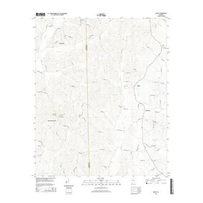
2014 Bluff
Fayette County, AL
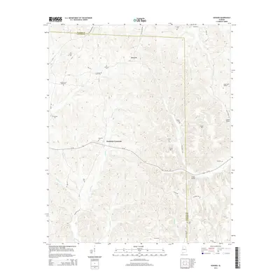
2014 Howard
Fayette County, AL
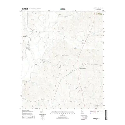
2014 Hubbertville
Fayette County, AL

2014 New Lexington
Fayette County, AL
2014 Newtonville
Fayette County, AL
2014 Winfield SE
Fayette County, AL
2018 Bankston
Fayette County, AL
2018 Bluff
Fayette County, AL
2018 Howard
Fayette County, AL
2018 Hubbertville
Fayette County, AL
2018 New Lexington
Fayette County, AL
2018 Newtonville
Fayette County, AL
2018 Winfield SE
Fayette County, AL
2020 Bankston
Fayette County, AL
2020 Bluff
Fayette County, AL
2020 Howard
Fayette County, AL
2020 Hubbertville
Fayette County, AL
2020 New Lexington
Fayette County, AL
2020 Newtonville
Fayette County, AL
2020 Winfield SE
Fayette County, AL
2024 Bankston
Fayette County, AL
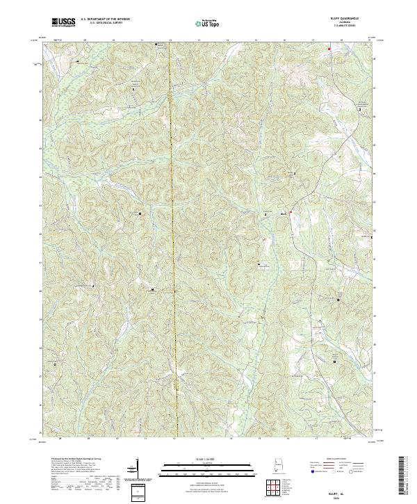
2024 Bluff
Fayette County, AL
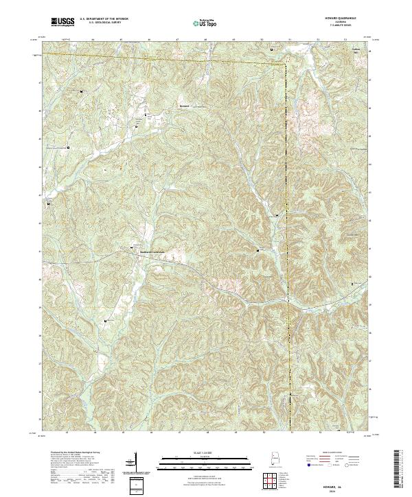
2024 Howard
Fayette County, AL
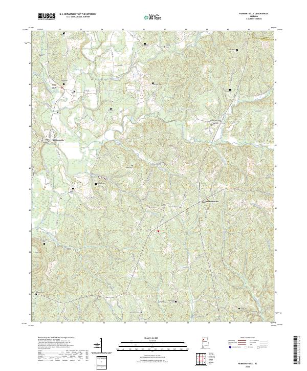
2024 Hubbertville
Fayette County, AL
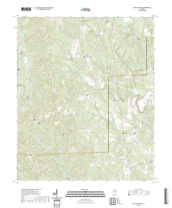
2024 New Lexington
Fayette County, AL
2024 Newtonville
Fayette County, AL
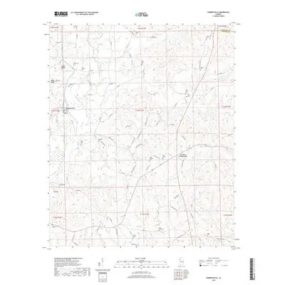
2024 Winfield SE
Fayette County, AL