1970s Maps of Kern County, California
Explore 61 historic maps of Kern County from the 1970s. These maps offer a rare glimpse into what life looked like during the 1970s — showing old roads, neighborhoods, homes, and landmarks that have changed or disappeared over time.
Whether you're researching your family's past, planning a metal detecting trip, or studying how Kern County's landscape evolved across the 1970s, these high-resolution maps are a powerful tool for exploring the history of this region.
- Focus on a specific era: All maps on this page are from the 1970s, giving you a focused view of this time period.
- See what’s changed: Compare century-old streets, trails, and buildings to today's modern landscape using overlays and satellite layers.
- Research with precision: Use these maps for genealogy, historical research, land use analysis, or educational projects.
- View, download, or print: Maps are fully viewable online in high resolution, and can be downloaded or printed for your own records.
Start exploring Kern County's history through authentic maps from the 1970s. This is your window into the past.
Kern County, CA maps
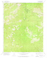
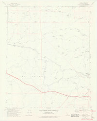
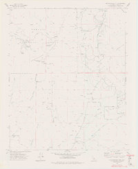
(61)- 1972 Map of Piute Peak, 1975 Print
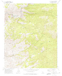
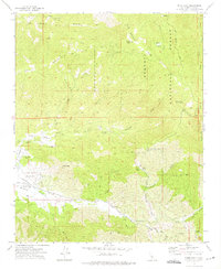 1972 Piute Peak1975 Print · USGSThe Southern Sierras in the early seventies reveal a rugged landscape of high-altitude mining and thermal springs within the Sequoia National Forest. Researchers can trace old operations like the Joe Walker Mine or locate the historic Yates Hot Springs and the Cem near Settimo Creek.3 unique versions available
 - 1972 Map of Loraine, 1975 Print
 1972 Loraine1975 Print · USGSThe mountain settlements of Kern County are captured here in the early 1970s as mining and ranching legacies still shaped the terrain. Researchers can trace the exact locations of the King David Mine, Zenda Mine, and the vanished life around Millersville.2 unique versions available
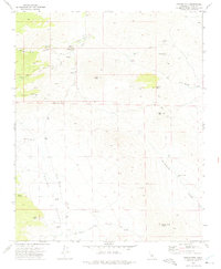
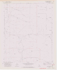
 - 1972 Map of Inyokern SE, 1975 Print
 1972 Inyokern SE1975 Print · USGSThe high desert of Kern County meets the southern Sierra foothills in the early seventies, showing a landscape shaped by mining and rail. Trace the Southern Pacific line past Little Dixie Wash or locate ancient Petroglyphs in the mountains.
 - 1972 Map of Lake Isabella South, 1975 Print
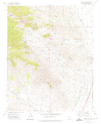
 1972 Lake Isabella South1975 Print · USGSIn the early seventies, the southern Sierra foothills near Lake Isabella were a landscape of deep canyons and active mining claims. Researchers can trace the footprints of old workings like the Tom Moore Mine and Glen Olive Mine, or locate family sites at Harrington Ranch and Liebel Ranch.3 unique versions available
 - 1972 Map of Inyokern, 1975 Print
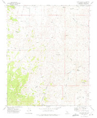
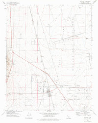 1972 Inyokern1975 Print · USGSThe High Desert landscape of Kern County is captured here in the early 1970s, showcasing the synergy between military expansion and local settlement. Genealogists and historians can trace the growth of Inyokern and its relationship to Kern County Airport No 8 and the Southern Pacific tracks.
 - 1972 Map of Oiler Peak, 1975 Print
 1972 Oiler Peak1975 Print · USGSKern County in the early seventies shows a rugged backcountry of cattle-country ridges and canyon-floor industry. Trace the winding Southern Pacific tracks or locate family landmarks like the Aunt Rosa Mines and the historic Fig Orchard.3 unique versions available
 - 1972 Map of Horse Canyon, 1975 Print
 1972 Horse Canyon1975 Print · USGSThe high Scodie Mountains and the critical Los Angeles Aqueduct systems define this Kern County landscape in the early seventies. Researchers can trace remote desert outposts and water sources like Mclvers Cabin, Horse Canyon Well, and scattered Prospects.2 unique versions available
 - 1972 Map of Walker Pass, 1975 Print
 1972 Walker Pass1975 Print · USGSHigh desert passes and mountain trails dominate the Kern County landscape in the early 1970s. Trace the path of the Pacific Crest National Scenic Trail and locate historical water stops like Pilot Well and the Historical Marker at Walker Pass.4 unique versions available
 - 1972 Map of Alta Sierra, 1975 Print
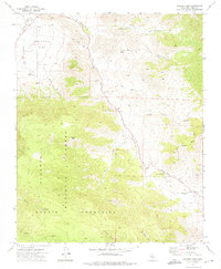
 1972 Alta Sierra1975 Print · USGSKern County’s high-country terrain is captured here in the early 1970s during its transition to a recreation destination. Genealogists and local historians can locate early industrial sites like Old Likely Mill (Site), the Keyes Mine, and a small mountain Cem.4 unique versions available
 - 1972 Map of Freeman Junction, 1975 Print
 1972 Freeman Junction1975 Print · USGSKern County’s high desert landscape appears in the early seventies as a vital corridor for western water and travel. Trace the paths of the Los Angeles Second Aqueduct and locate historic desert sites like Robbers Roost, Armistead, and the Ruins at Harts Place.
 - 1972 Map of Woolstalf Creek, 1975 Print
 1972 Woolstalf Creek1975 Print · USGSThe Piute Mountains of the Sequoia National Forest are captured in the early 1970s, showcasing a landscape of high meadows and mining history. Researchers can locate the Bob Rabbit Place (Site) and trace old operations like the Bright Star Mine and Moreland Mill.2 unique versions available
 - 1972 Map of Claraville, 1975 Print
 1972 Claraville1975 Print · USGSHigh in the Sequoia National Forest during the 1970s, this area centers on the settlement of Claraville and its surrounding mineral claims. Genealogists and historians can trace old mining sites like the Gwynne Mine and Waterhole Mine or locate Nick Williams Camp.5 unique versions available
 - 1972 Map of Mt. Adelaide, 1975 Print
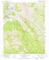
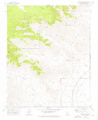
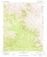
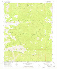
 1972 Mt. Adelaide1975 Print · USGSKern County in the early seventies shows a landscape defined by the Kern River and the reaches of the Sequoia National Forest. You can trace old mining and forestry routes leading to the Ruby Mine, Richbar Guard Station, and Mt Adelaide.4 unique versions available
 - 1972 Map of Dove Spring, 1975 Print
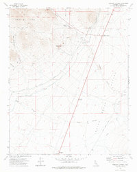
 1972 Dove Spring1975 Print · USGSThe Mojave Desert north of Mojave reveals a landscape of industrial engineering and remote mining during the 1970s. Trace the path of the dual Los Angeles Aqueducts and locate historic claims such as the San Antonio Mine and Bishops Claim.2 unique versions available
 - 1972 Map of Weldon, 1975 Print
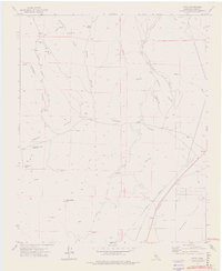
 1972 Weldon1975 Print · USGSThe South Fork Kern River valley in the early 1970s shows a landscape of small settlements and high-country ranches. Researchers can locate the South Fork Sch in Weldon, trace the namesake Quarter Circle 5 Ranch, or find old Mines in the Piute Mts.3 unique versions available
 - 1972 Map of Democrat Hot Springs, 1975 Print
 1972 Democrat Hot Springs1975 Print · USGSThe Kern River canyon and the Greenhorn Mountains are documented here in the early seventies, just as modern forest management was maturing. Researchers can locate the Democrat Hot Springs settlement, old Mines, and the Brushy Hell Oak Flat LO lookout.4 unique versions available
 - 1972 Map of Bena, 1975 Print
 1972 Bena1975 Print · USGSIn the early 1970s, the Tehachapi foothills near Caliente remained a landscape defined by ranching and the Southern Pacific rail line. Researchers can trace historic grades and mountain flats, including Baker Grade, Tollhouse Flat, and the Rock House (Ruins).4 unique versions available
 - 1972 Map of Pinyon Mountain, 1975 Print
 1972 Pinyon Mountain1975 Print · USGSKern County's high desert and mining country are captured here in the early seventies as the region supported remote ranching and prospecting. Researchers can trace the location of Sageland, find the Ora Grande Mine, and locate the Cem near Kelso Valley.3 unique versions available
 - 1972 Map of Owens Peak, 1975 Print
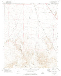
 1972 Owens Peak1975 Print · USGSKern County's high desert peaks and canyons are captured in the early seventies, showing a landscape of mining and historic transit. Trace old desert routes to Walker Well, search for Pictographs, and locate the Tungsten Peak Mine.
 - 1972 Map of Cross Mountain, 1975 Print
 1972 Cross Mountain1975 Print · USGSKern County in the early seventies shows a landscape shaped by mining and water scarcity. Researchers can trace the routes of old Jeep Trails to historical extraction sites like the Amalia Mine, Skyline Mine, and Schoolhouse Well.2 unique versions available
 - 1972 Map of Breckenridge Mtn, 1975 Print
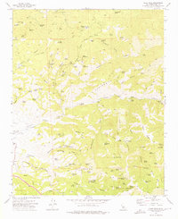
 1972 Breckenridge Mtn1975 Print · USGSKern County ranching and forest management intersect in the 1970s among the high ridges of the Sequoia National Forest. You can locate old mining sites like the Tungsten Chief Mine or trace cattle country landmarks at Rankin Ranch and Bull Flat.5 unique versions available
 - 1972 Map of Cane Canyon, 1976 Print
 1972 Cane Canyon1976 Print · USGSKelso Valley and the southern Sierra foothills are captured in the early 1970s, showing a high-altitude landscape of remote wells and mining claims. Researchers can trace historic access routes via pack trails and jeep trails to isolated sites like Cane Well, Pinyon Well, and the graves at Cem.5 unique versions available
 - 1972 Map of Emerald Mtn, 1976 Print
 1972 Emerald Mtn1976 Print · USGSThe Piute Mountains in the early seventies remain a landscape of remote mines and high-country ranch ruins. Researchers can trace the heritage of the Mammoth Eureka Mines, locate the Wooden Shoe Annies Ranch (Ruins), and follow the old PACK TRAIL near Weldon Peak.2 unique versions available
 - 1972 Map of Cinco, 1976 Print
 1972 Cinco1976 Print · USGSKern County's high-desert landscape appears here in the 1970s, dominated by critical water infrastructure and legacy mining operations. Researchers can trace the dual Los Angeles Aqueducts, the Southern Pacific rail line, and historic sites like the Mohawk Buddy Mine and Cinco.3 unique versions available
 - 1972 Map of Lake Isabella North, 1976 Print
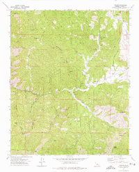
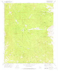
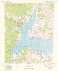 1972 Lake Isabella North1976 Print · USGSIn the 1970s, the upper Kern Valley was a landscape of modern dams and growing lakeside communities. Trace family history in Wofford Heights or locate legacy mining sites like the Regan Mine and Big Blue Mine near the shoreline.3 unique versions available
Showing maps 1-25 of 61
Top cities of Kern County
- Bakersfield historical maps
- Delano historical maps
- Ridgecrest historical maps
- Wasco historical maps
- Shafter historical maps
- Arvin historical maps
See more
Frequently asked questions
- What are the different types of historical maps available for Kern County?
- What is the oldest map of Kern County?
- Where can I purchase historical maps of Kern County for my home or office?
- Where can I download high-res historical maps of Kern County?
- Are there historical topographic maps available for Kern County?
- Is there historical aerial imagery available for Kern County?
- Where are historical maps of Kern County sourced from?