2020s Maps of Kern County, California
Explore 165 historic maps of Kern County from the 2020s. These maps offer a rare glimpse into what life looked like during the 2020s — showing old roads, neighborhoods, homes, and landmarks that have changed or disappeared over time.
Whether you're researching your family's past, planning a metal detecting trip, or studying how Kern County's landscape evolved across the 2020s, these high-resolution maps are a powerful tool for exploring the history of this region.
- Focus on a specific era: All maps on this page are from the 2020s, giving you a focused view of this time period.
- See what’s changed: Compare century-old streets, trails, and buildings to today's modern landscape using overlays and satellite layers.
- Research with precision: Use these maps for genealogy, historical research, land use analysis, or educational projects.
- View, download, or print: Maps are fully viewable online in high resolution, and can be downloaded or printed for your own records.
Start exploring Kern County's history through authentic maps from the 2020s. This is your window into the past.
Kern County, CA maps
(165)- 2021 Map of Tylerhorse Canyon, 2021 Print
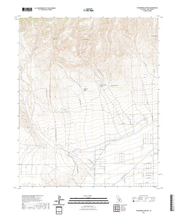 2021 Tylerhorse Canyon2021 Print · USGSThe Tehachapi Mountains and Sierra Nevada meet in this 2021 survey, capturing the high desert as it transitions from rugged peaks to a modern utility corridor. Trace the paths of the Los Angeles Aqueduct and the Pacific Crest National Scenic Trail.
 - 2021 Map of Neenach School, 2021 Print
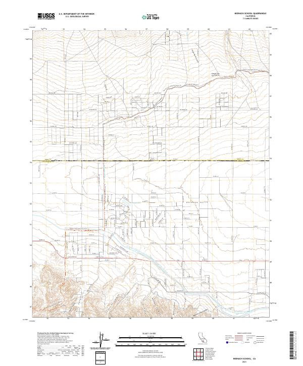 2021 Neenach School2021 Print · USGSThe Antelope Valley at the start of the 2020s shows a landscape defined by the Los Angeles Aqueduct and the Pacific Crest National Scenic Trl. Trace rural property lines along Gaskell Rd or explore the canyons of Happy Valley.
 - 2021 Map of Soledad Mountain, 2021 Print
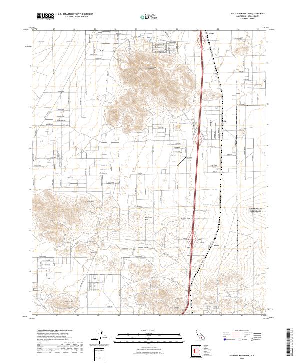 2021 Soledad Mountain2021 Print · USGSKern County's high desert landscape appears in great detail in this 2021 study, centered on the prominent heights of Soledad Mtn. You can trace the rural road networks and find local landmarks like Pontious Airport and the settlement of Actis.
 - 2021 Map of Rosamond Lake, 2021 Print
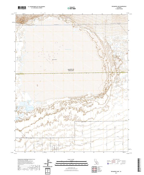 2021 Rosamond Lake2021 Print · USGSThe high desert along the Kern and Los Angeles county line is captured in this modern survey of the Antelope Valley. Researchers can trace the intersection of early desert routes like Willow Springs Rd with the expanse of Rosamond Lake and the managed Piute Ponds.
 - 2021 Map of Little Buttes, 2021 Print
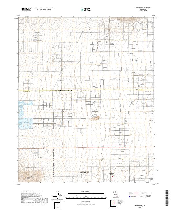 2021 Little Buttes2021 Print · USGSThe northern reaches of the Antelope Valley come into focus here during the early twenty-first century, where desert settlement meets major utility infrastructure. Genealogists and historians can locate properties in Antelope Acres or trace flight paths near the Little Buttes Antique Airfield.
 - 2021 Map of Jackrabbit Hill, 2021 Print
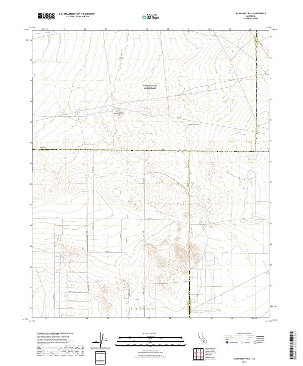 2021 Jackrabbit Hill2021 Print · USGSThe high desert at the tri-county corner of Kern, Los Angeles, and San Bernardino comes into focus in this recent survey. Trace the geographic intersection of Jackrabbit Hill and the El Mirage Valley along roads like Mars Blvd and Ave B.
 - 2021 Map of Willow Springs, 2021 Print
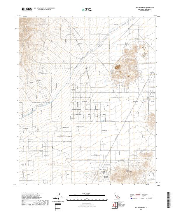 2021 Willow Springs2021 Print · USGSThe western edge of the Mojave Desert comes into focus in this recent survey of Kern County. Researchers can trace the massive path of the Los Angeles Aqueduct and explore local landmarks like Willow Springs Butte and Bean Spring.
 - 2021 Map of Liebre Twins, 2021 Print
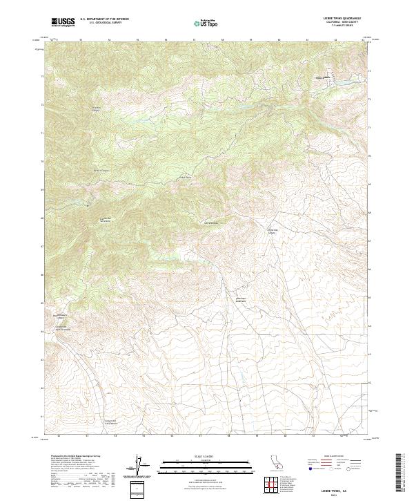 2021 Liebre Twins2021 Print · USGSThe Tehachapi Mountains and Sierra Nevada meet in this 2021 Kern County survey. You can trace high-elevation drainage patterns through Woodchoppers Canyon, Liebre Twins, and Canyon del Gato-Montes.
 - 2021 Map of Fairmont Butte, 2021 Print
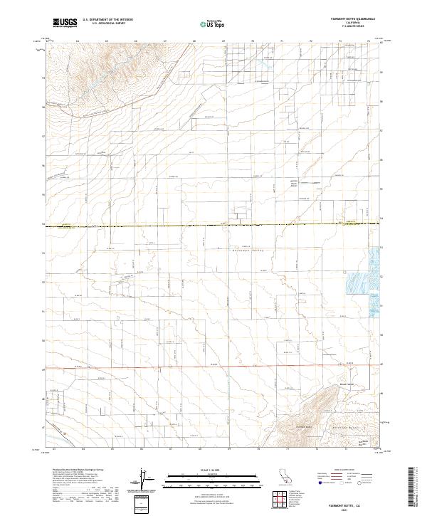 2021 Fairmont Butte2021 Print · USGSAntelope Valley's high-desert landscape is captured here in the early twenty-first century, where volcanic peaks meet critical water infrastructure. Trace the dual paths of the Los Angeles Aqueduct and explore the rugged terrain around Fairmont Butte and Skyotee Ranch Airport.
 - 2021 Map of La Liebre Ranch, 2021 Print
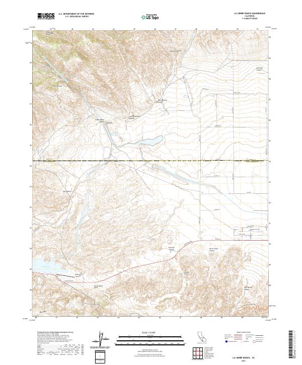 2021 La Liebre Ranch2021 Print · USGSThe high desert transition at the Kern and Los Angeles county line is documented here in the early twenty-first century. Researchers can trace the path of the San Andreas Fault and locate landmarks like the La Liebre Ranch, Quail Lake Sky Park, and the Carley V Porter Tunnel.
 - 2021 Map of Pleito Hills, 2021 Print
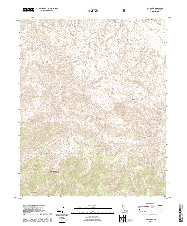 2021 Pleito Hills2021 Print · USGSSouthern Kern County is mapped here in the early 2020s, showing the intersection of high mountain peaks and deep canyons. Researchers can trace backcountry routes like Forest Rte 10N01 to landmarks such as Antimony Peak and Joe Clark Flat.
 - 2021 Map of Pastoria Creek, 2021 Print
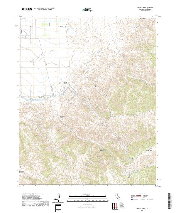 2021 Pastoria Creek2021 Print · USGSThe southern San Joaquin Valley meets the high Tehachapi Mountains in the early twenty-first century, revealing a landscape of massive water engineering. You can trace the path of the California Aqueduct and locate the Carley V Porter Tunnel and Pastoria Cr.
 - 2021 Map of Santiago Creek, 2021 Print
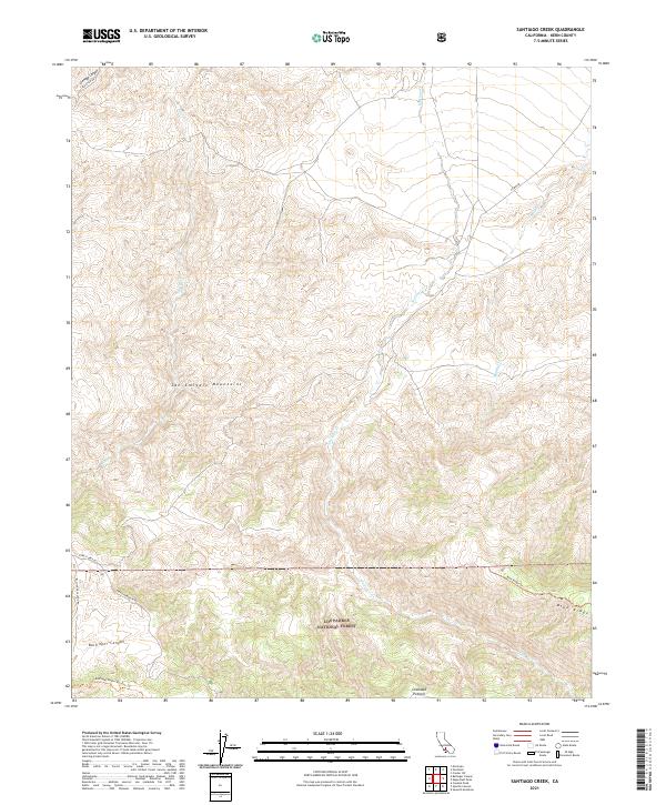 2021 Santiago Creek2021 Print · USGSThe San Emigdio Mountains and the southern Kern County backcountry appear in detail during the early 2020s. Trace the seasonal paths of Santiago Cr and explore the protected reaches of the Bitter Creek National Wildlife Refuge.
 - 2021 Map of North Edwards, 2021 Print
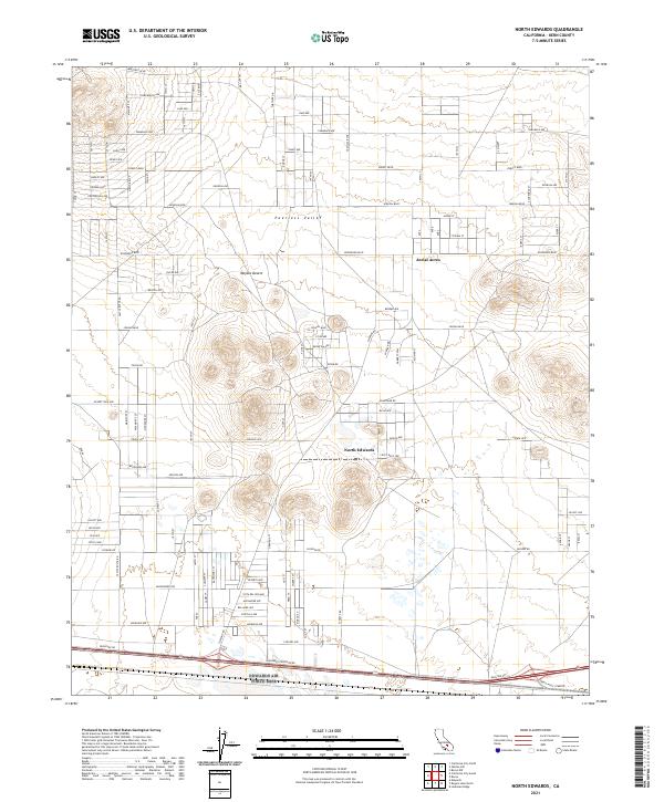 2021 North Edwards2021 Print · USGSEastern Kern County residential grids appear in sharp detail during the early 2020s. Researchers can trace the development of the Mojave Desert interior through the street networks of North Edwards and Aerial Acres.
 - 2021 Map of Posey, 2021 Print
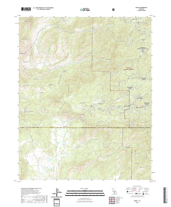 2021 Posey2021 Print · USGSThe foothills and high forests of Tulare County come into focus in this recent survey of the southern Sierras. Researchers can trace the development of mountain retreats like Sugarloaf Village, find family landmarks at Waller Meadow, and follow historic tracks such as Old Stage Rd.
 - 2021 Map of California City North, 2021 Print
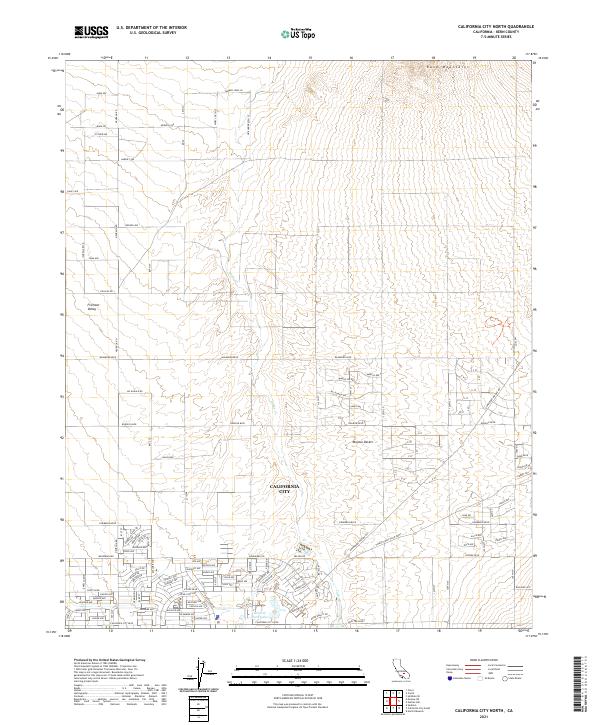 2021 California City North2021 Print · USGSCalifornia City and the surrounding Mojave Desert landscape are documented here in the early 2020s. Researchers can trace the vast grid of planned residential streets like Neuralia Rd and find landmarks like Central Park Lake and the Rand Mountains.
 - 2021 Map of Saltdale NW, 2021 Print
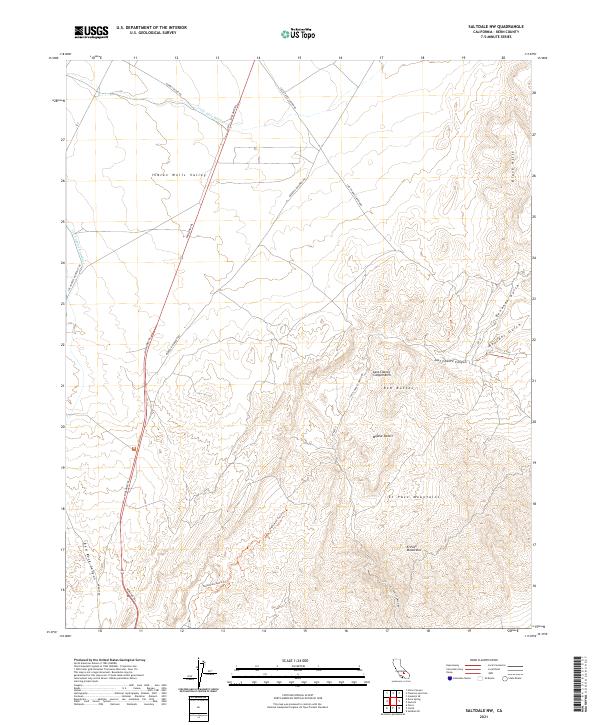 2021 Saltdale NW2021 Print · USGSThe El Paso Mountains and Mojave Desert are captured here in high detail during the early twenty-first century. Researchers can trace the path of the Los Angeles Aqueduct or locate specific landmarks like the Last Chance Canyon Arch and Red Rock Canyon.
 - 2021 Map of Tejon Ranch, 2021 Print
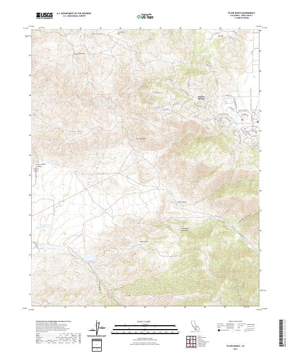 2021 Tejon Ranch2021 Print · USGSThe foothills of the Tehachapi Mountains meet the Cummings Valley in this 2021 study of the modern ranch landscape. Researchers can trace the development of Stallion Springs and find vital water sources like Havali Spring or Rosemarr Spring.
 - 2021 Map of Freeman Junction, 2021 Print
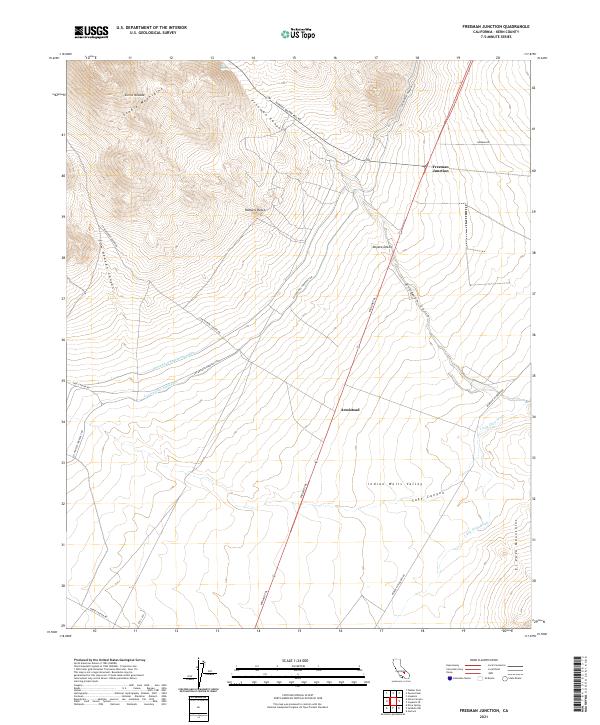 2021 Freeman Junction2021 Print · USGSThe Kern County high desert comes into focus at the intersection of the Sierra Nevada and the Mojave. Trace the path of the Los Angeles Aqueduct near Freeman Junction and the historic Midland Trl.
 - 2021 Map of Johannesburg, 2021 Print
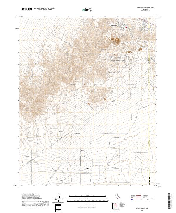 2021 Johannesburg2021 Print · USGSThe mining camps of the Rand District and the early foundations of California City meet in this modern desert survey. Trace historical gold country routes like Sunshine Mine Rd or explore the distinct grids of Randsburg and Johannesburg.
 - 2021 Map of Cannell Peak, 2021 Print
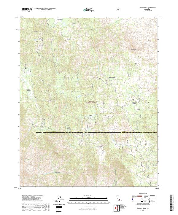 2021 Cannell Peak2021 Print · USGSThe high Sierra backcountry of the Sequoia National Forest is documented here in the early twenty-first century. Researchers can trace historic grazing lands and remote settlements like Potato Patch, Pine Flat, and Big Meadow.
 - 2021 Map of Inyokern, 2021 Print
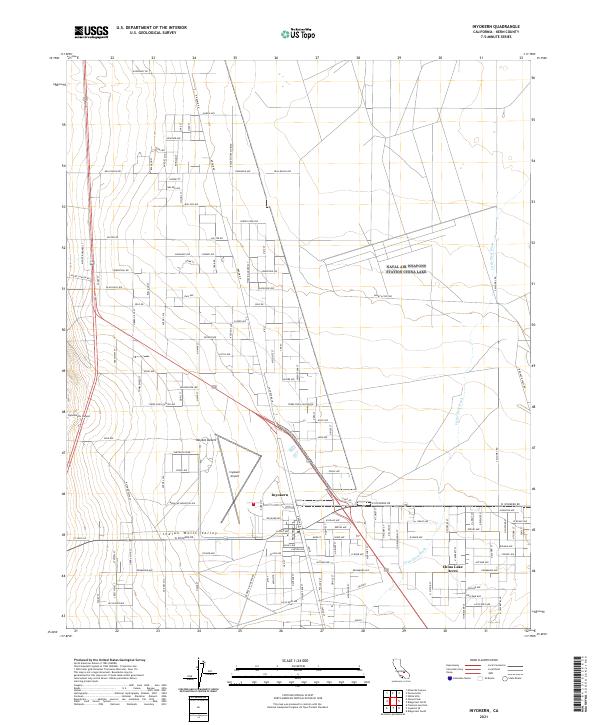 2021 Inyokern2021 Print · USGSInyokern and the Indian Wells Valley are captured here in the early 2020s, showing a desert landscape of aviation hubs and rural residential grids. Local researchers can trace the development of China Lake Acres and the terrain around Sawtooth Peak and the Inyokern Airport.
 - 2021 Map of Bear Mountain, 2021 Print
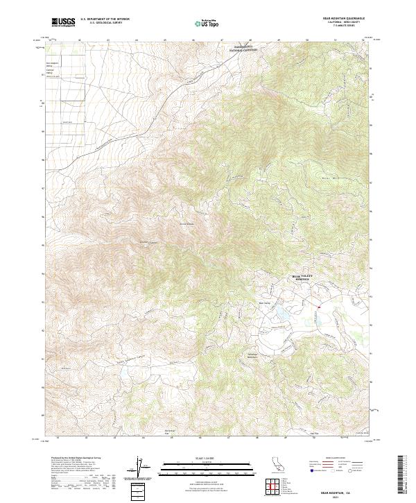 2021 Bear Mountain2021 Print · USGSKern County in the early twenty-first century reveals a striking transition from valley floors to high mountain basins. Trace the modern development of Bear Valley Springs alongside local landmarks like Bear Mtn and Horsethief Flat.
 - 2021 Map of Saltdale SE, 2021 Print
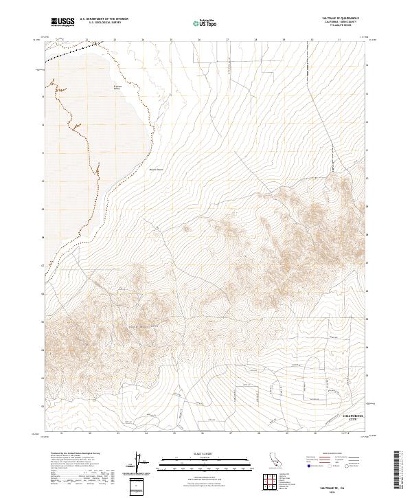 2021 Saltdale SE2021 Print · USGSCalifornia City meets the high desert in the early twenty-first century, showing the grid-like expansion of residential streets. Trace the urban edge along W Point Blvd as it reaches toward the Rand Mountains and the Mojave Desert.
 - 2021 Map of Quincy School, 2021 Print
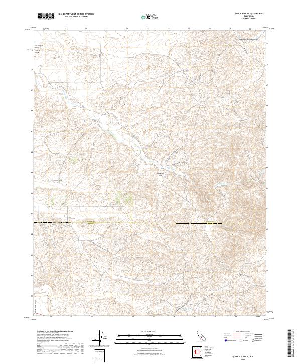 2021 Quincy School2021 Print · USGSTulare and Kern Counties meet in this foothill landscape during the early 2020s, where old travel corridors still mark the earth. You can trace the historic Old Stockton Los Angeles Stage Rd as it passes near Telegraph Flat and the White River.
Showing maps 1-25 of 165
Top cities of Kern County
- Bakersfield historical maps
- Delano historical maps
- Ridgecrest historical maps
- Wasco historical maps
- Shafter historical maps
- Arvin historical maps
See more
Frequently asked questions
- What are the different types of historical maps available for Kern County?
- What is the oldest map of Kern County?
- Where can I purchase historical maps of Kern County for my home or office?
- Where can I download high-res historical maps of Kern County?
- Are there historical topographic maps available for Kern County?
- Is there historical aerial imagery available for Kern County?
- Where are historical maps of Kern County sourced from?