2000s (21st Century) Maps of Kings County, California
Explore 140 historic maps of Kings County from the 2000s (21st Century). These maps offer a rare glimpse into what life looked like during the 2000s — showing old roads, neighborhoods, homes, and landmarks that have changed or disappeared over time.
Whether you're researching your family's past, planning a metal detecting trip, or studying how Kings County's landscape evolved across the 2000s, these high-resolution maps are a powerful tool for exploring the history of this region.
- Focus on a specific era: All maps on this page are from the 2000s, giving you a focused view of this time period.
- See what’s changed: Compare century-old streets, trails, and buildings to today's modern landscape using overlays and satellite layers.
- Research with precision: Use these maps for genealogy, historical research, land use analysis, or educational projects.
- View, download, or print: Maps are fully viewable online in high resolution, and can be downloaded or printed for your own records.
Start exploring Kings County's history through authentic maps from the 2000s. This is your window into the past.
Kings County, CA maps
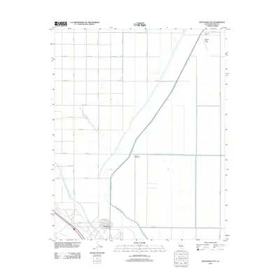
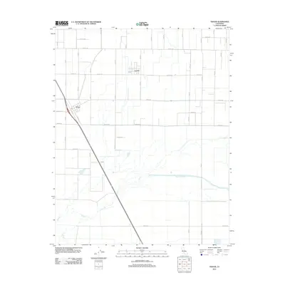
(140)- 2012 Map of Avenal, 2012 Print
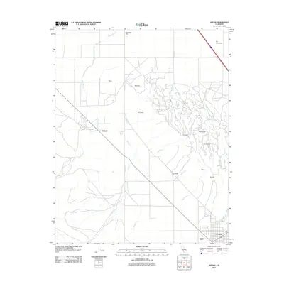 2012 Avenal2012 Print · USGSCovers Kings County, including Coalinga, Avenal, and other nearby areas
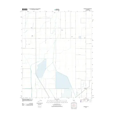
 - 2012 Map of Huron, 2012 Print
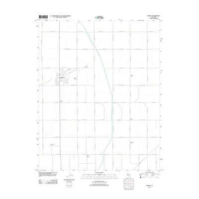 2012 Huron2012 Print · USGSCovers Kings County, including Huron, Airway Farms, and other nearby areas
 - 2012 Map of La Cima, 2012 Print
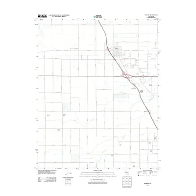
 2012 La Cima2012 Print · USGSCovers Kings County, including Avenal, Murray, and other nearby areas
 - 2012 Map of Goshen, 2012 Print
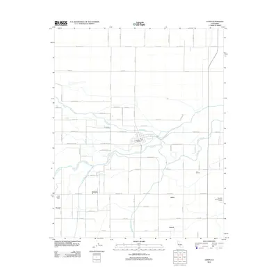
 2012 Goshen2012 Print · USGSCovers Kings County, including Visalia, Goshen, and other nearby areas
 - 2012 Map of Laton, 2012 Print
 2012 Laton2012 Print · USGSCovers Kings County, including Laton, Hardwick, and other nearby areas
 - 2012 Map of Kettleman City, 2012 Print
 2012 Kettleman City2012 Print · USGSCovers Kings County, including Kettleman City, Westlake Farms, and other nearby areas
 - 2012 Map of El Rico Ranch, 2012 Print
 2012 El Rico Ranch2012 Print · USGSCovers Kings County, including Helm Corner, United States, and other nearby areas
 - 2012 Map of Riverdale, 2012 Print
 2012 Riverdale2012 Print · USGSCovers Kings County, including Riverdale, Gepford, and other nearby areas
 - 2012 Map of Corcoran, 2012 Print
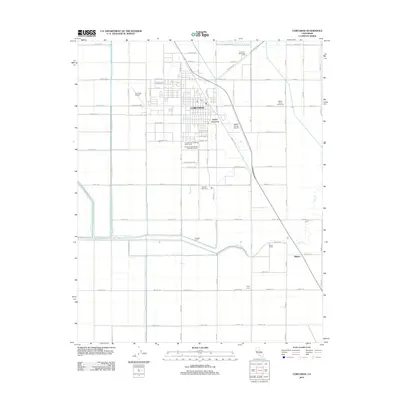 2012 Corcoran2012 Print · USGSCovers Kings County, including Corcoran, Tulare County, and other nearby areas
 - 2012 Map of Stratford, 2012 Print
 2012 Stratford2012 Print · USGSCovers Kings County, including Stratford, United States, and other nearby areas
 - 2012 Map of Guernsey, 2012 Print
 2012 Guernsey2012 Print · USGSCovers Kings County, including Guernsey, United States, and other nearby areas
 - 2012 Map of Traver, 2012 Print
 2012 Traver2012 Print · USGSCovers Kings County, including London, Traver, and other nearby areas
 - 2012 Map of Waukena, 2012 Print
 2012 Waukena2012 Print · USGSCovers Kings County, including Corcoran, Waukena, and other nearby areas
 - 2012 Map of Vanguard, 2012 Print
 2012 Vanguard2012 Print · USGSCovers Kings County, including Vanguard, Fresno County, and other nearby areas
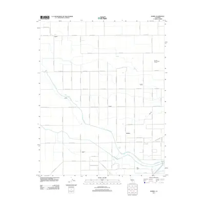
 - 2012 Map of Remnoy, 2012 Print
 2012 Remnoy2012 Print · USGSCovers Kings County, including Hanford, Remnoy, and other nearby areas
 - 2012 Map of Westhaven, 2012 Print
 2012 Westhaven2012 Print · USGSCovers Kings County, including Westhaven, Westhaven Siding, and other nearby areas
 - 2012 Map of Kettleman Plain, 2012 Print
 2012 Kettleman Plain2012 Print · USGSCovers Kings County, including Avenal, Reef Station, and other nearby areas
 - 2012 Map of Stratford SE, 2012 Print
 2012 Stratford SE2012 Print · USGSCovers Kings County, including United States, California, and other nearby areas
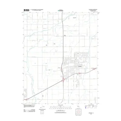
 - 2012 Map of Hanford, 2012 Print
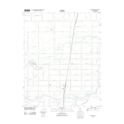
 2012 Hanford2012 Print · USGSCovers Kings County, including Hanford, Armona, and other nearby areas
 - 2012 Map of Burris Park, 2012 Print
 2012 Burris Park2012 Print · USGSCovers Kings County, including Fresno County, Tulare County, and other nearby areas
 - 2012 Map of Lemoore, 2012 Print
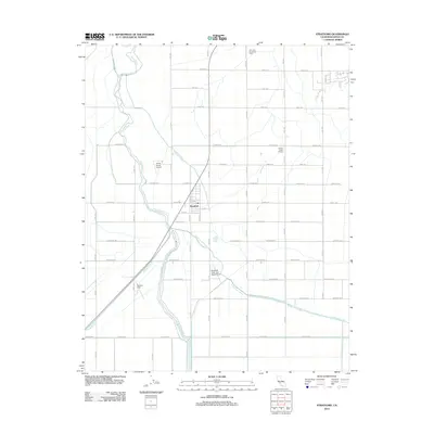
 2012 Lemoore2012 Print · USGSCovers Kings County, including Lemoore, Halls Corner, and other nearby areas
 - 2012 Map of Burrel, 2012 Print
 2012 Burrel2012 Print · USGSCovers Kings County, including Riverdale, Burrel, and other nearby areas
 - 2012 Map of Garza Peak, 2012 Print
 2012 Garza Peak2012 Print · USGSCovers Kings County, including Avenal, Fresno County, and other nearby areas
 - 2012 Map of Cholame Valley, 2012 Print
 2012 Cholame Valley2012 Print · USGSCovers Kings County, including Monterey County, San Luis Obispo County, and other nearby areas
 - 2012 Map of Pyramid Hills, 2012 Print
 2012 Pyramid Hills2012 Print · USGSCovers Kings County, including Kern County, United States, and other nearby areas
Showing maps 1-25 of 140
Top cities of Kings County
- Hanford historical maps
- Corcoran historical maps
- Lemoore historical maps
- Avenal historical maps
- Armona historical maps
- Home Garden historical maps
See more
Frequently asked questions
- What are the different types of historical maps available for Kings County?
- What is the oldest map of Kings County?
- Where can I purchase historical maps of Kings County for my home or office?
- Where can I download high-res historical maps of Kings County?
- Are there historical topographic maps available for Kings County?
- Is there historical aerial imagery available for Kings County?
- Where are historical maps of Kings County sourced from?