2010s Maps of Kings County, California
Explore 105 historic maps of Kings County from the 2010s. These maps offer a rare glimpse into what life looked like during the 2010s — showing old roads, neighborhoods, homes, and landmarks that have changed or disappeared over time.
Whether you're researching your family's past, planning a metal detecting trip, or studying how Kings County's landscape evolved across the 2010s, these high-resolution maps are a powerful tool for exploring the history of this region.
- Focus on a specific era: All maps on this page are from the 2010s, giving you a focused view of this time period.
- See what’s changed: Compare century-old streets, trails, and buildings to today's modern landscape using overlays and satellite layers.
- Research with precision: Use these maps for genealogy, historical research, land use analysis, or educational projects.
- View, download, or print: Maps are fully viewable online in high resolution, and can be downloaded or printed for your own records.
Start exploring Kings County's history through authentic maps from the 2010s. This is your window into the past.
Kings County, CA maps
(105)- 2012 Map of Avenal, 2012 Print
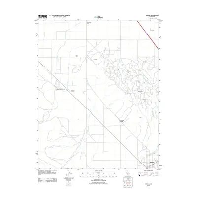 2012 Avenal2012 Print · USGSAvenal and the surrounding cattle ranches of the Kettleman Hills are documented here in the early 2010s. Trace the reach of working lands at Starkey and Erwin Ranch or explore the rugged geography of Zapato Chino Canyon and Elephant Hill.
 - 2012 Map of Huron, 2012 Print
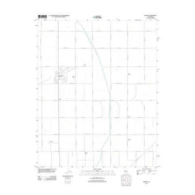 2012 Huron2012 Print · USGSThis Central Valley landscape near the Fresno-Kings county line reveals the deep agricultural roots of the early twenty-first century. Genealogists and local researchers can locate established family operations like Vernon Thomas Ranch and Half Moon Ranch or trace the path of the Governor Edmund G Brown California Aqueduct.
 - 2012 Map of La Cima, 2012 Print
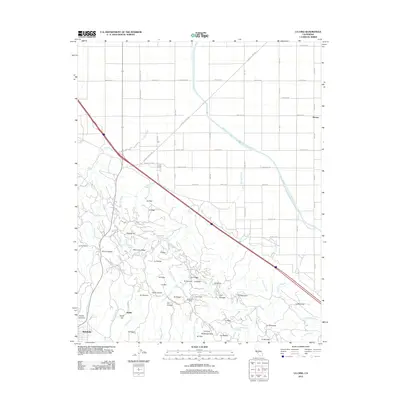 2012 La Cima2012 Print · USGSKings County in the early twenty-first century reveals a landscape where the California Aqueduct meets the petroleum-rich Kettleman Hills. Researchers can trace the industrial footprint of Eighteen Q Camp and Hydril alongside numerous named ridges like Discovery Ridge.
 - 2012 Map of Goshen, 2012 Print
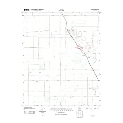 2012 Goshen2012 Print · USGSThis Tulare County corridor was evolving rapidly in the early 2010s as a hub for Central Valley transit and agriculture. Genealogists and researchers can trace local land use from the Te Velde Bernard Dairy to named sites like Colpien Ranch and Goshen.
 - 2012 Map of Laton, 2012 Print
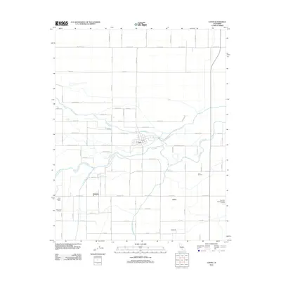 2012 Laton2012 Print · USGSFresno County agriculture and the winding Kings River system are the focus of this 2012 survey. Genealogists and local historians can trace the rural layouts of Laton and Hardwick, locate the Kings River Cem, and identify family operations like Warmerdam Orchards.
 - 2012 Map of Kettleman City, 2012 Print
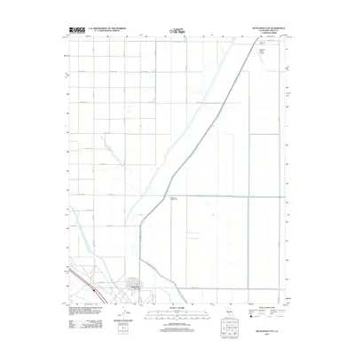 2012 Kettleman City2012 Print · USGSKettleman City stands at the crossroads of industrial agriculture and the California water system during the early twenty-first century. Researchers can trace the layout of West Lake Farms and its associated West Lake Farms Airport alongside the Blakeley Canal.
 - 2012 Map of El Rico Ranch, 2012 Print
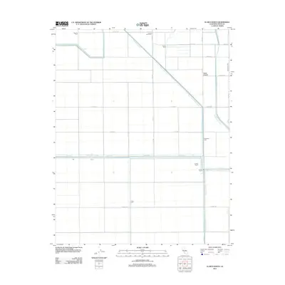 2012 El Rico Ranch2012 Print · USGSKings County ranching and water management are on display in this early twenty-first-century survey of the Central Valley. Researchers can trace the legacy of local landholding at El Rico Ranch and Helm Corner or follow the path of the Tulare Lake Canal.
 - 2012 Map of Riverdale, 2012 Print
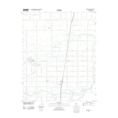 2012 Riverdale2012 Print · USGSThe Fresno County agricultural heartland is documented here in the early twenty-first century, showcasing a landscape defined by irrigation and river forks. Researchers can trace the water-rights history of the N Fork Kings River and find local landmarks like Oak Knoll Cem and the Camden Oil Field.
 - 2012 Map of Corcoran, 2012 Print
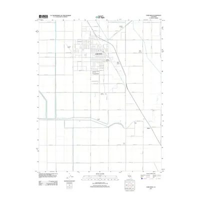 2012 Corcoran2012 Print · USGSCorcoran and the surrounding valley floor are shown in the early 2010s during a period of modern industrial agriculture. Researchers can trace the layout of worker settlements and agricultural sites like Boswell Camp One, Wheat Camp, and the Boswell Levee along the Tule River.
 - 2012 Map of Stratford, 2012 Print
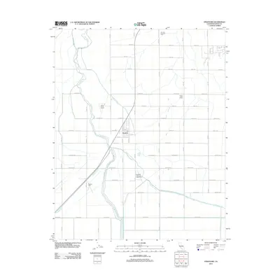 2012 Stratford2012 Print · USGSStratford and the surrounding Kings County farmlands are shown here in the early twenty-first century as a highly organized agricultural grid. Researchers can trace the irrigation network along the Kings River and locate local landmarks like the Central Union Grange or Newton Field.
 - 2012 Map of Guernsey, 2012 Print
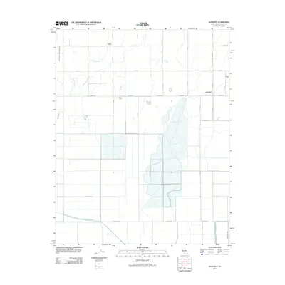 2012 Guernsey2012 Print · USGSKings County agricultural life is captured here in the early twenty-first century, showing a landscape defined by industrial-scale irrigation and dairy farming. Researchers can locate the Paddock School, trace the path of the Tulare Lake Canal, and find local operations like the Valadao Dairy.
 - 2012 Map of Traver, 2012 Print
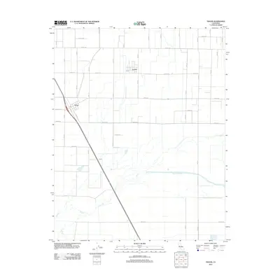 2012 Traver2012 Print · USGSTulare County's agricultural heartland is captured in the early 21st century, showing the intersection of rural life and natural waterways. Genealogists and local historians can trace the streets of London and Traver, locating the Post Office and the banks of the Saint Johns River.
 - 2012 Map of Waukena, 2012 Print
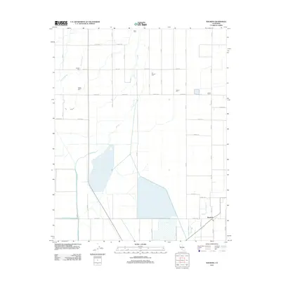 2012 Waukena2012 Print · USGSThe Tulare Lake Basin comes to life here during the early twenty-first century, showcasing a landscape of high-production dairies and complex irrigation. Genealogists and local researchers can locate Waukena and Lakeside Cem, or trace the winding course of Cross Cr.
 - 2012 Map of Vanguard, 2012 Print
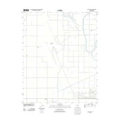 2012 Vanguard2012 Print · USGSKings County ranching and military operations meet in the Central Valley during the early 2010s. Researchers can trace the sprawling layout of Lemoore Naval Air Station alongside established agricultural family sites like Barlow Ranch and Polder Ranch.
 - 2012 Map of Remnoy, 2012 Print
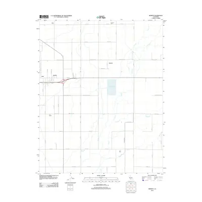 2012 Remnoy2012 Print · USGSThe agricultural grid of Kings County is shown here in the early twenty-first century, featuring the settlements of Remnoy, Hamblin, and Shell. Researchers can trace local landmarks like Wayne School and family operations such as Flying M Ranch or Bad Water Ranch.
 - 2012 Map of Westhaven, 2012 Print
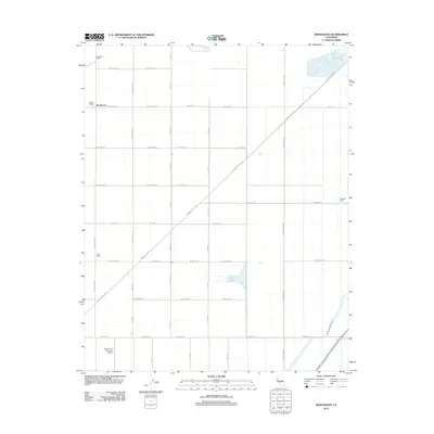 2012 Westhaven2012 Print · USGSAgriculture and transport define the landscape of Fresno County in the early 2010s. Researchers can locate specific family-held tracts like Boston Ranch and Allen Ranch or trace the essential water routes of the Blakeley Canal.
 - 2012 Map of Kettleman Plain, 2012 Print
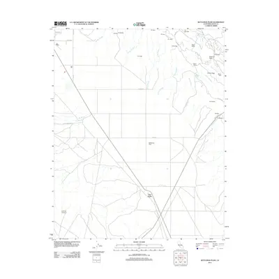 2012 Kettleman Plain2012 Print · USGSKings County in the early twenty-first century remains a landscape of industrial heritage and arid geology. Researchers can trace the intersection of old transit lines and petroleum history through features like Drillers Ridge, Reef Station, and the Old State Hwy.
 - 2012 Map of Stratford SE, 2012 Print
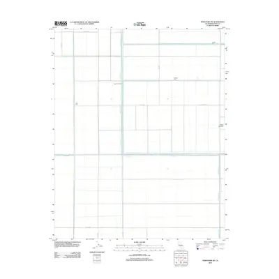 2012 Stratford SE2012 Print · USGSIn the fertile basin of Kings County during the early 2010s, this survey shows the remarkable engineering of the Tulare Lake Bed. Researchers can trace the sophisticated water management systems that define this region, from the Kings River and Tule River to the Lovelace and Goldberg Levees.
 - 2012 Map of Hanford, 2012 Print
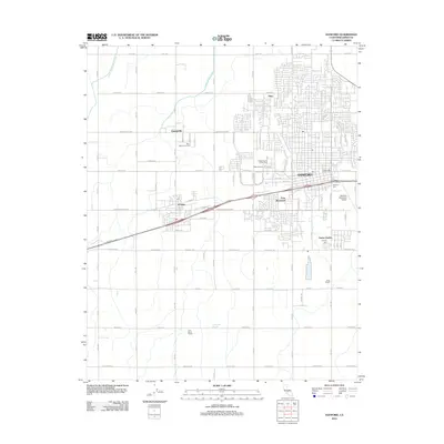 2012 Hanford2012 Print · USGSKings County in the early 2010s shows a sophisticated blend of urban growth and irrigation-fed agriculture. Genealogists and historians can trace the footprint of Hanford, locate legacy sites like China Alley, or study the rural reaches of Armona and Grangeville.
 - 2012 Map of Burris Park, 2012 Print
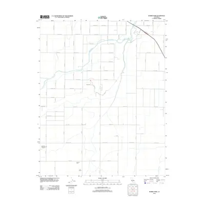 2012 Burris Park2012 Print · USGSFresno County ranch lands and irrigation networks are on full display in the early 2010s. Researchers can trace the path of Cole Slough or locate specific holdings like the Fagundes Ranch and the Swanson Ranch Number 1 Airport.
 - 2012 Map of Lemoore, 2012 Print
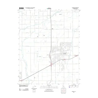 2012 Lemoore2012 Print · USGSKings County irrigation and agriculture are at their height in this modern survey of the Lemoore region. Local historians can trace the development of the Lemoore city center alongside outlying markers like Halls Corner, Lemoore Cem, and the Tony Martin Dairy.
 - 2012 Map of Burrel, 2012 Print
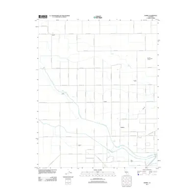 2012 Burrel2012 Print · USGSFresno County's agricultural heartland is captured here in the early twenty-first century, where irrigation and oil production meet. Researchers can trace the layout of Burrel and Lanare, locate Glendora School, or follow the winding Fresno Slough.
 - 2012 Map of Garza Peak, 2012 Print
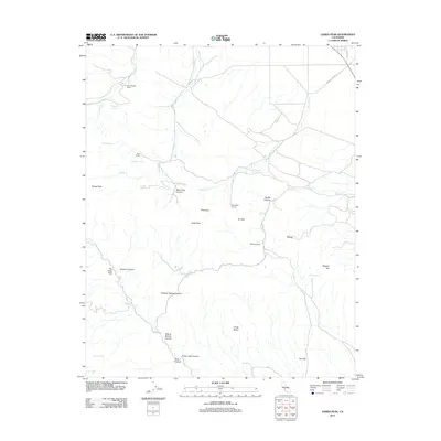 2012 Garza Peak2012 Print · USGSKings County ranchlands and rugged canyons are captured in detail during the early 2010s. Researchers can trace historic water sources and family landmarks such as Kreyenhagen Ranch, Wade Baxter Spring, and the winding Big Tar Canyon.
 - 2012 Map of Cholame Valley, 2012 Print
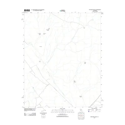 2012 Cholame Valley2012 Print · USGSMonterey County ranch lands and seasonal watercourses are captured here in the early twenty-first century. Researchers can trace historic land use through sites like Cholame Ranch, Hancock Ranch, and the isolated California Flats.
 - 2012 Map of Pyramid Hills, 2012 Print
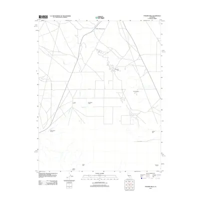 2012 Pyramid Hills2012 Print · USGSKern County’s arid interior is revealed in this early twenty-first-century survey of the Central Valley edge. Researchers can trace the footprint of the Devils Den Oil Field and locate family landmarks like the Orchard Ranch near Sunflower Valley.
Showing maps 1-25 of 105
Top cities of Kings County
- Hanford historical maps
- Corcoran historical maps
- Lemoore historical maps
- Avenal historical maps
- Armona historical maps
- Home Garden historical maps
See more
Frequently asked questions
- What are the different types of historical maps available for Kings County?
- What is the oldest map of Kings County?
- Where can I purchase historical maps of Kings County for my home or office?
- Where can I download high-res historical maps of Kings County?
- Are there historical topographic maps available for Kings County?
- Is there historical aerial imagery available for Kings County?
- Where are historical maps of Kings County sourced from?