2020s Maps of Plumas County, California
Explore 70 historic maps of Plumas County from the 2020s. These maps offer a rare glimpse into what life looked like during the 2020s — showing old roads, neighborhoods, homes, and landmarks that have changed or disappeared over time.
Whether you're researching your family's past, planning a metal detecting trip, or studying how Plumas County's landscape evolved across the 2020s, these high-resolution maps are a powerful tool for exploring the history of this region.
- Focus on a specific era: All maps on this page are from the 2020s, giving you a focused view of this time period.
- See what’s changed: Compare century-old streets, trails, and buildings to today's modern landscape using overlays and satellite layers.
- Research with precision: Use these maps for genealogy, historical research, land use analysis, or educational projects.
- View, download, or print: Maps are fully viewable online in high resolution, and can be downloaded or printed for your own records.
Start exploring Plumas County's history through authentic maps from the 2020s. This is your window into the past.
Plumas County, CA maps
(70)- 2021 Map of American House, 2021 Print
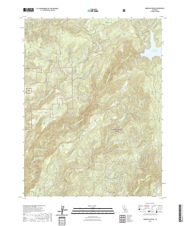 2021 American House2021 Print · USGSHigh in the Sierra Nevada, this modern survey shows the rugged watersheds of the Plumas National Forest. Researchers can trace historic mining activity at the Sanborn Mine or follow the route of the old Quincy-La Porte Road near Little Grass Valley Reservoir.
 - 2021 Map of Onion Valley, 2021 Print
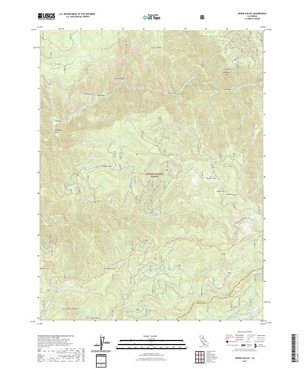 2021 Onion Valley2021 Print · USGSThe Plumas National Forest highlands are captured here in the 2020s, showing the deep canyons of the Feather River and the high Sierra ridges. Researchers can trace historic river sites like Rich Bar and McCarthy Bar or follow the path of the Pacific Crest National Scenic Trl.
 - 2021 Map of Reconnaissance Peak, 2021 Print
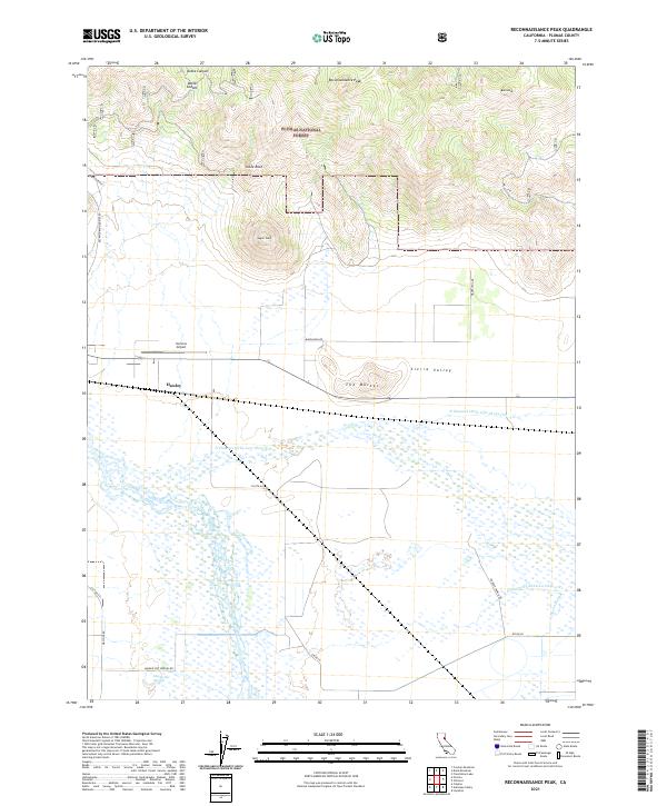 2021 Reconnaissance Peak2021 Print · USGSSierra Valley and the surrounding peaks of the Plumas National Forest are captured here in the early twenty-first century. Researchers can trace the local hydrology and land use near Hawley, Nervino Airport, and the thermal waters of Marble Hot Springs.
 - 2021 Map of Bucks Lake, 2021 Print
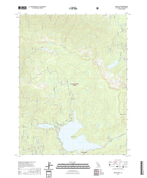 2021 Bucks Lake2021 Print · USGSHigh in the Sierra Nevada during the early 2020s, this area centers on the vital waters and forest lands of Plumas County. You can trace the Pacific Crest National Scenic Trl past Spanish Peak or locate lakeside landmarks like Bucks Lodge and Rainbow Point.
 - 2021 Map of Blue Nose Mountain, 2021 Print
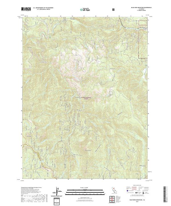 2021 Blue Nose Mountain2021 Print · USGSThe high Sierra Nevada ridges of Plumas and Sierra Counties are captured here in the early twenty-first century. Researchers can trace the Pacific Crest National Scenic Trl as it winds past Pilot Peak, Blue Nose Mtn, and the historic flats along the Middle Fork Feather River.
 - 2021 Map of Gold Lake, 2021 Print
 2021 Gold Lake2021 Print · USGSThe High Sierra backcountry is documented here during a period of heavy recreational and forest management use. Trace historic access routes and high-altitude landmarks including Gray Eagle Lodge, the Mills Peak Lookout, and the extensive Lakes Basin water network.
 - 2021 Map of Portola, 2021 Print
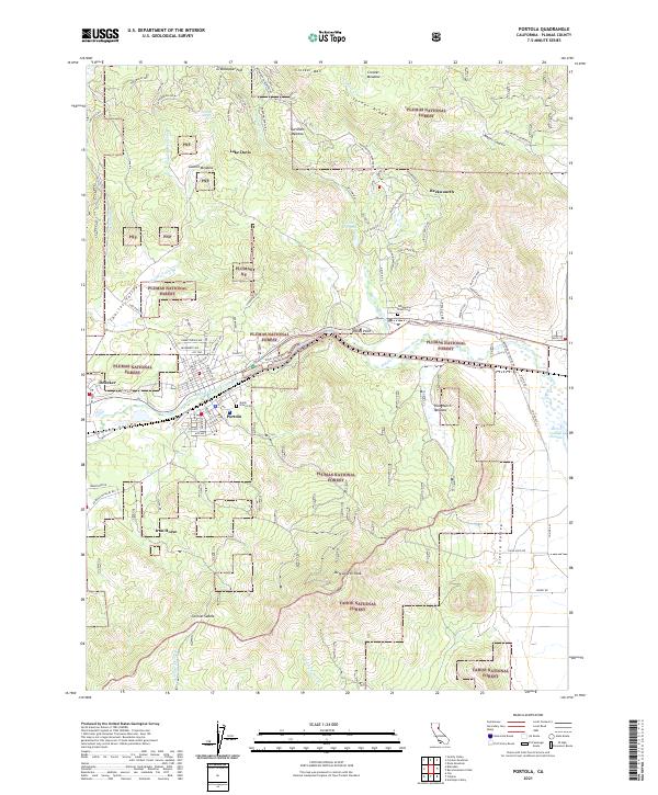 2021 Portola2021 Print · USGSThe northern Sierra Nevada comes alive in this 2021 survey of the Plumas County highlands and the Middle Fork Feather River corridor. Researchers can trace the rail-town heritage of Portola, locate family plots at Shady Grove Cem, and explore the rugged terrain surrounding Beckwourth Peak.
 - 2021 Map of Spring Garden, 2021 Print
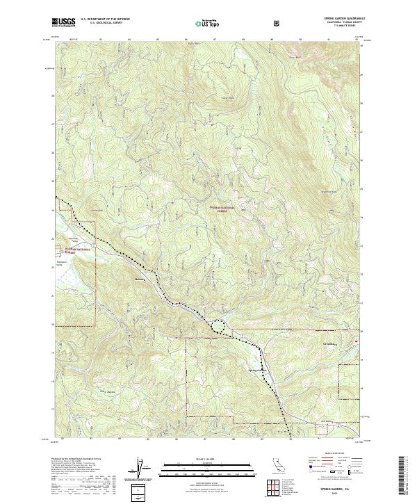 2021 Spring Garden2021 Print · USGSModern-day Plumas County comes into focus here, showing the high-country settlements and forest roads within the Plumas National Forest. Local history researchers can trace the routes between Spring Garden, Massack, and Lee Summit while locating landmarks like Argentine Rock.
 - 2021 Map of Johnsville, 2021 Print
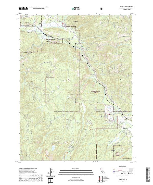 2021 Johnsville2021 Print · USGSThe northern Sierra Nevada highlands come into sharp focus in this recent survey of the Mohawk Valley and surrounding peaks. Genealogists and local historians can trace family ties at the Johnsville Cem and Mohawk Cem or explore the historic layout of Sloat and Graeagle.
 - 2021 Map of Dixie Mountain, 2021 Print
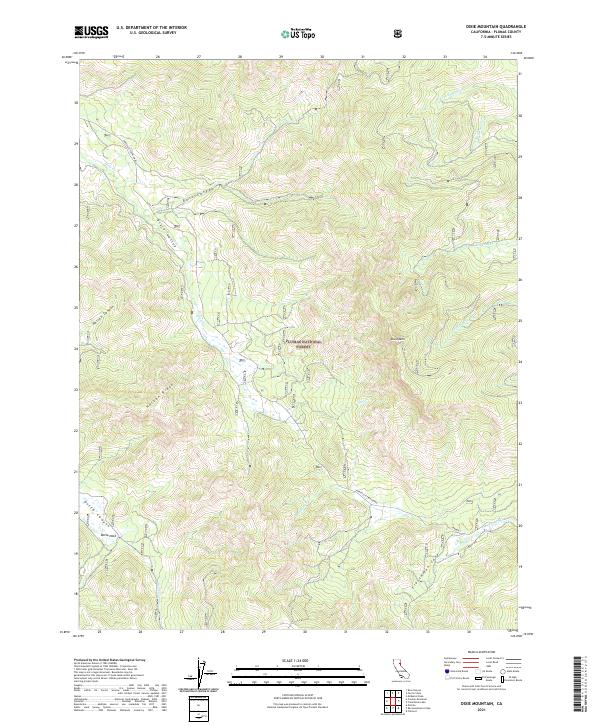 2021 Dixie Mountain2021 Print · USGSThe high Sierra landscape of Plumas County is shown here in the 2020s, dominated by the peaks and drainages of the Plumas National Forest. Local history researchers can trace the routes of the Janesville-Frenchman road and locate landmarks like Dixie Mtn and Frenchman Cove.
 - 2021 Map of Grizzly Valley, 2021 Print
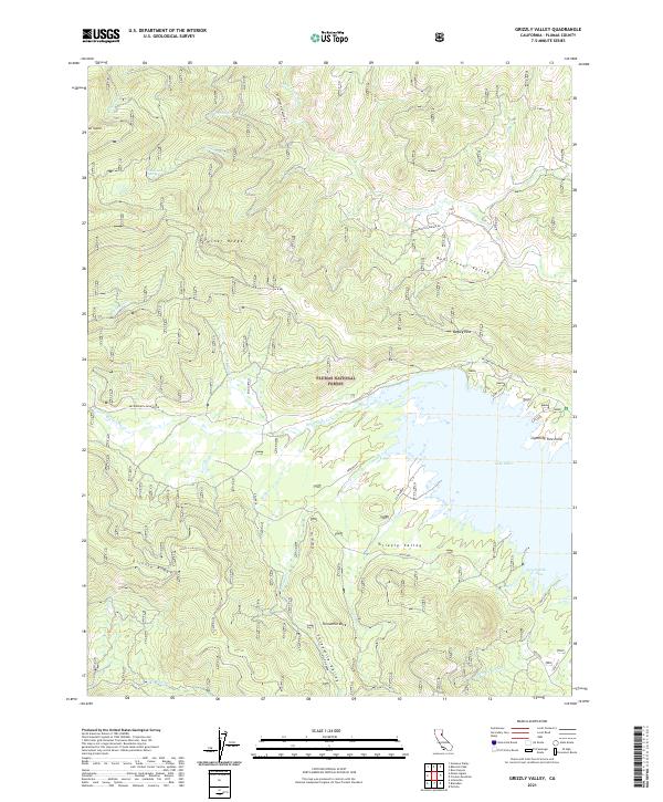 2021 Grizzly Valley2021 Print · USGSThe high Sierra country of Plumas County is mapped here in its contemporary state, centered on the significant reservoir of Lake Davis. You can trace forest access routes and topographic landmarks like Mt Ingalls, Grizzly Ridge, and Threemile Rock.
 - 2021 Map of Crocker Mountain, 2021 Print
 2021 Crocker Mountain2021 Print · USGSHigh Sierra valleys and forest lands are detailed here as they appeared in the early 2020s. Researchers can locate Grasshopper Flat near Lake Davis or trace the drainage of Red Clover Cr through the Coyote Hills.
 - 2021 Map of Mount Ingalls, 2021 Print
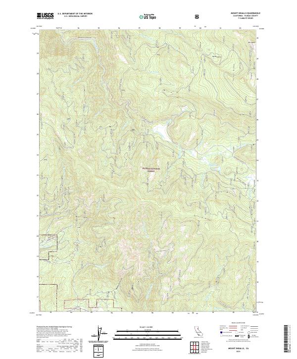 2021 Mount Ingalls2021 Print · USGSHigh in the Plumas mountains during the early twenty-first century, this landscape is defined by the peaks and drainages of the national forest. Researchers can trace remote alpine features like Mt Ingalls, the high-country Summit Marsh, and the winding Beckworth Genesee Rd.
 - 2021 Map of Haskins Valley, 2021 Print
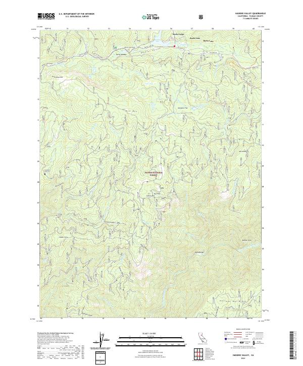 2021 Haskins Valley2021 Print · USGSThe Plumas National Forest high country around Bucks Lake is shown here in the early twenty-first century. Researchers can trace the path of the Pacific Crest National Scenic Trl or locate the historic Robinson Mine Cem and Hartman Bar.
 - 2021 Map of Beckwourth Pass, 2021 Print
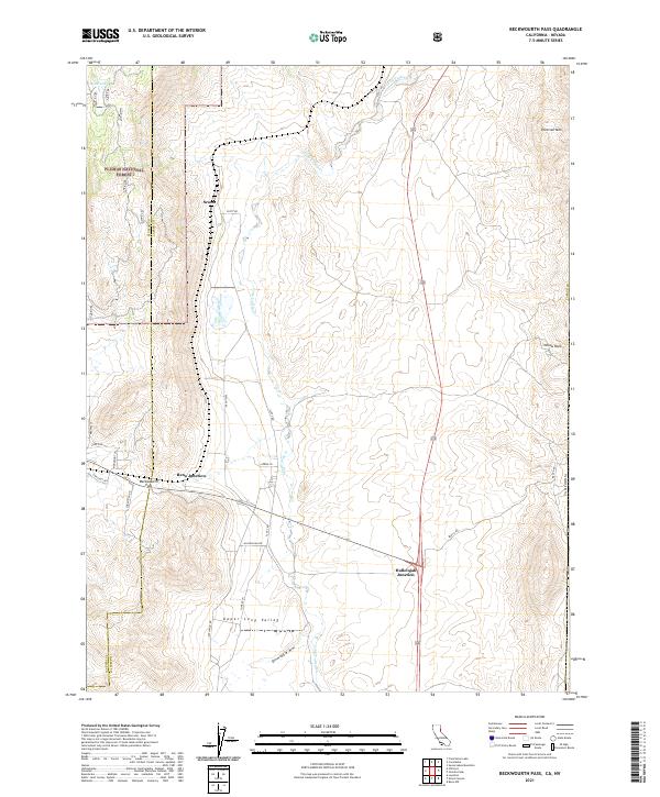 2021 Beckwourth Pass2021 Print · USGSThe high Sierra-Great Basin transition comes into focus in this recent study of the California-Nevada borderlands. Trace the local geography of the historic transit corridor through Beckwourth Pass, Hallelujah Junction, and the seasonal waters of Snow Lake.
 - 2021 Map of Strawberry Valley, 2021 Print
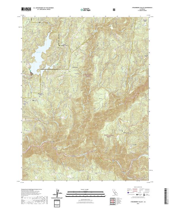 2021 Strawberry Valley2021 Print · USGSThe Sierra Nevada foothills at the meeting of Yuba and Sierra counties come alive in this recent survey. Researchers can locate isolated mountain settlements like Brandy City and Strawberry Valley, as well as historic cemetery sites and the riverside Fosters Bar.
 - 2021 Map of Chilcoot, 2021 Print
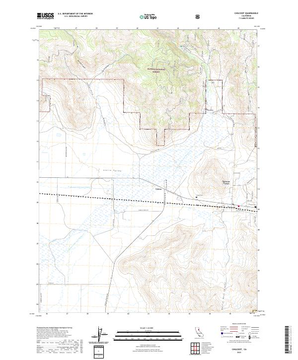 2021 Chilcoot2021 Print · USGSThe ranching communities of the eastern Sierra Valley are captured here in the early 2020s, showcasing the intersection of high-desert agriculture and forest land. Researchers can trace local lineage and land use at the Vinton Cem, Chilcoot, and along the banks of Little Last Chance Creek.
 - 2021 Map of Constantia, 2021 Print
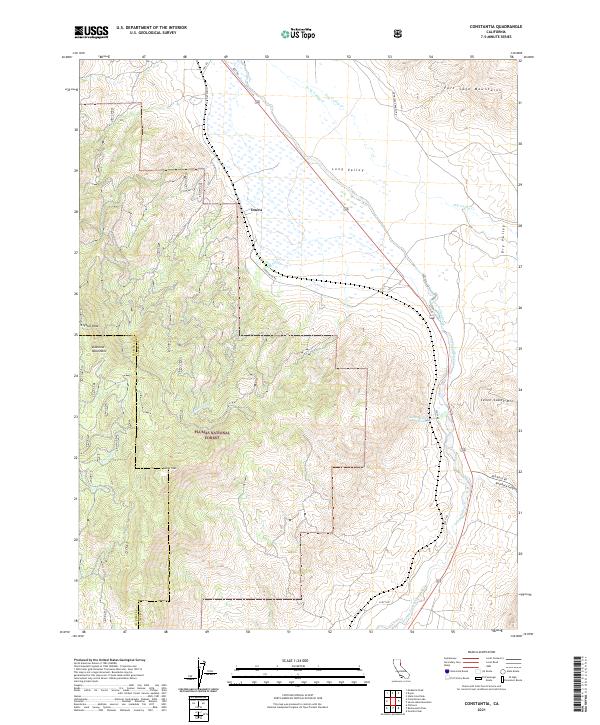 2021 Constantia2021 Print · USGSThe high Sierras meet the Great Basin in this recent survey of the Lassen and Plumas county borderlands. Researchers can locate the mountain settlement of Omira and trace water routes from the Diamond Mountains to the Zamboni Hot Springs.
 - 2021 Map of Babcock Peak, 2021 Print
 2021 Babcock Peak2021 Print · USGSThe high Sierra peaks of Plumas County are captured in this modern survey of the National Forest. Researchers can trace the path of the Beckworth Genesee Rd and locate numerous mountain water sources like Poison Creek Spring and Cinder Spring.
 - 2021 Map of Ferris Creek, 2021 Print
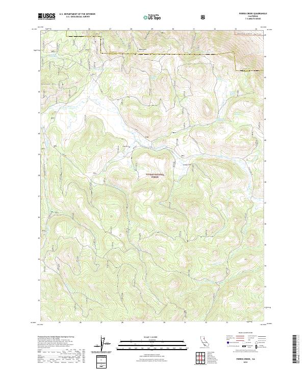 2021 Ferris Creek2021 Print · USGSPlumas County high country is shown here in the contemporary era, where the Sierra Nevada forest transitions toward the Honey Lake Valley. Researchers can trace old mountain routes and water sources like the Plinco Mine Rd, Johnson Mill Spring, and Downing Cabin Spring.
 - 2021 Map of Crescent Mills, 2021 Print
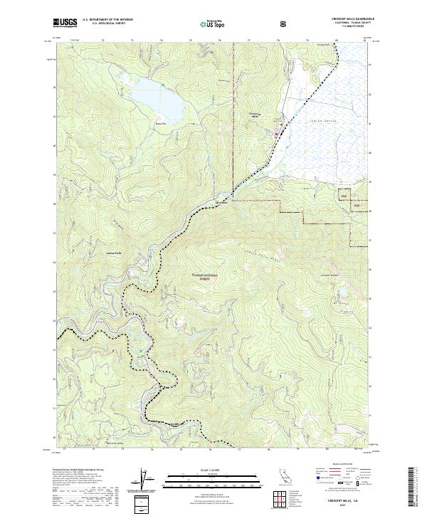 2021 Crescent Mills2021 Print · USGSCrescent Mills and the high ridges of Plumas County appear in extensive detail during this modern survey. Genealogists and historians can trace family locations and local industry near the Monitor Mine, Indian Falls, and the Crescent Mills Cem.
 - 2021 Map of Diamond Mountain, 2021 Print
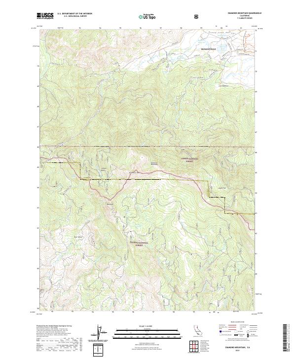 2021 Diamond Mountain2021 Print · USGSThe high sierra south of Susanville comes into focus in this recent study of the northern Diamond Mountains. Genealogists and hikers can trace the transition from Honey Lake Valley to the deep woods of Lassen National Forest, identifying The Beaver Ponds and the historic Sammill Grade.
 - 2021 Map of Stover Mountain, 2021 Print
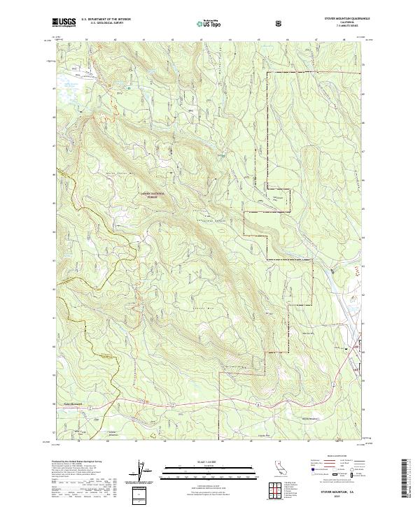 2021 Stover Mountain2021 Print · USGSThe Plumas County high country in the early 2020s remains a landscape defined by timber and recreation. Trace the route of the Pacific Crest National Scenic Trl past Stover Mtn or find the grounds of the Chester Cem.
 - 2021 Map of Swain Mountain, 2021 Print
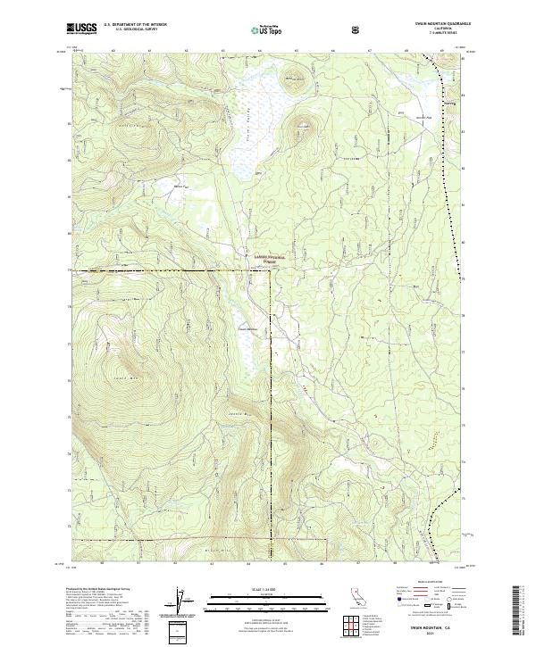 2021 Swain Mountain2021 Print · USGSThe high timberlands and headwaters of Lassen and Plumas counties are captured here in the early twenty-first century. Researchers can trace the drainage patterns of the Susan River or locate historic water points like Robbers Spring and Barrel Spring.
 - 2021 Map of Stony Ridge, 2021 Print
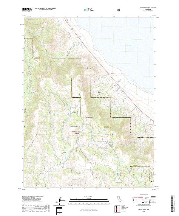 2021 Stony Ridge2021 Print · USGSThe high-desert basin of the Honey Lake Valley meets the Sierra Nevada foothills in this recent 2021 survey. Researchers can trace remote mountain water sources like Juniper Spring and family-named landmarks including Milford Cem and Stony Ridge.
Showing maps 1-25 of 70
Top cities of Plumas County
- Portola historical maps
- Chester historical maps
- Hamilton Branch historical maps
- Chilcoot–Venton historical maps
Frequently asked questions
- What are the different types of historical maps available for Plumas County?
- What is the oldest map of Plumas County?
- Where can I purchase historical maps of Plumas County for my home or office?
- Where can I download high-res historical maps of Plumas County?
- Are there historical topographic maps available for Plumas County?
- Is there historical aerial imagery available for Plumas County?
- Where are historical maps of Plumas County sourced from?