2010s Maps of Plumas County, California
Explore 198 historic maps of Plumas County from the 2010s. These maps offer a rare glimpse into what life looked like during the 2010s — showing old roads, neighborhoods, homes, and landmarks that have changed or disappeared over time.
Whether you're researching your family's past, planning a metal detecting trip, or studying how Plumas County's landscape evolved across the 2010s, these high-resolution maps are a powerful tool for exploring the history of this region.
- Focus on a specific era: All maps on this page are from the 2010s, giving you a focused view of this time period.
- See what’s changed: Compare century-old streets, trails, and buildings to today's modern landscape using overlays and satellite layers.
- Research with precision: Use these maps for genealogy, historical research, land use analysis, or educational projects.
- View, download, or print: Maps are fully viewable online in high resolution, and can be downloaded or printed for your own records.
Start exploring Plumas County's history through authentic maps from the 2010s. This is your window into the past.
Plumas County, CA maps
(198)- 2012 Map of Babcock Peak, 2012 Print
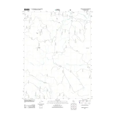 2012 Babcock Peak2012 Print · USGSPlumas County high country is documented here during the early twenty-first century, showing a landscape defined by seasonal water and timber camps. Researchers can locate Camp Fourteen, follow the Beckworth Genesee Rd, and trace the path of Red Clover Cr.
 - 2012 Map of Ross Canyon, 2012 Print
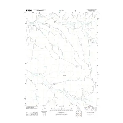 2012 Ross Canyon2012 Print · USGSHigh Sierra ranching and forestry define this Plumas County landscape in the early twenty-first century. Genealogists and local historians can trace legacy land use through sites like the Stone Dairy Cabin, Jenkins Sheep Camp, and Doyle Crossing.
 - 2012 Map of Genesee Valley, 2012 Print
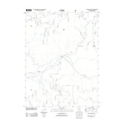 2012 Genesee Valley2012 Print · USGSPlumas County high country is shown here in the modern era, where mountain roads and river crossings define the rugged Genesee landscape. Trace the paths of Indian Cr and Red Clover Cr past landmarks like Flournoy Bridge and Elephants Playground.
 - 2012 Map of Moonlight Peak, 2012 Print
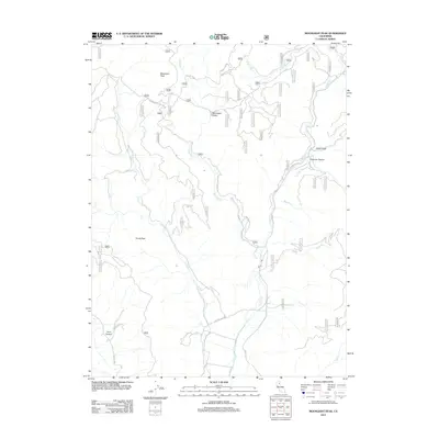 2012 Moonlight Peak2012 Print · USGSUpper Lassen County's rugged forest terrain is captured here in the early twenty-first century, showing the complex drainage systems and peaks of the Sierra Nevada. Trace forest routes like Skyline Mtwy and discover remote landmarks such as Moonlight Valley and Evans Peak.
 - 2012 Map of McKesick Peak, 2012 Print
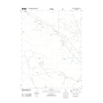 2012 McKesick Peak2012 Print · USGSLassen County's high-country terrain is captured here in the early twenty-first century, showing the remote intersection of mountain peaks and rural ranch roads. Genealogists and hikers can trace routes through Chimney Canyon or locate family-named landmarks like McKesick Peak and Cannon Field.
 - 2012 Map of Kettle Rock, 2012 Print
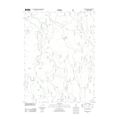 2012 Kettle Rock2012 Print · USGSPlumas County's high-country terrain is documented here in the early twenty-first century, showing a landscape of timber roads and isolated mining history. Researchers can trace remote sites like the Engel Mine and Browns Cabin or locate landmarks such as Kettle Rock.
 - 2012 Map of Stony Ridge, 2012 Print
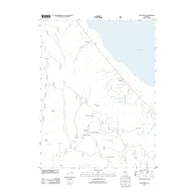 2012 Stony Ridge2012 Print · USGSLassen County's high desert terrain and the western edge of Honey Lake are documented here during the early twenty-first century. Researchers can locate remote outposts like Clark Ranch and trace the paths through Wales Canyon to landmarks like Fitch Middle School.
 - 2012 Map of Diamond Mountain, 2012 Print
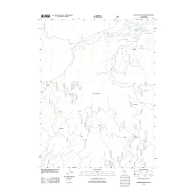 2012 Diamond Mountain2012 Print · USGSNorthern California's high-country terrain is captured here in the early 21st century, centered on the landmark Diamond Mountain. Researchers can locate the Peter Lassen Grave and trace remote mountain routes like the Diamond Mountain Mtwy.
 - 2012 Map of Fredonyer Pass, 2012 Print
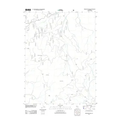 2012 Fredonyer Pass2012 Print · USGSHigh-altitude Lassen County terrain at Fredonyer Pass reveals a landscape of remote ranching and forestry at the start of the 2010s. Researchers can trace historic landmarks like Stephens Ranch and significant peaks such as Indicator Peak and Hamilton Mountain.
 - 2012 Map of Canyondam, 2012 Print
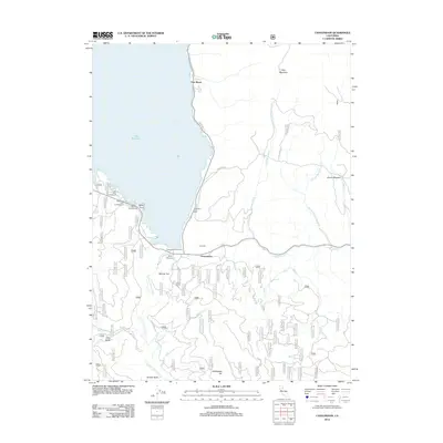 2012 Canyondam2012 Print · USGSPlumas County high country is shown here in the early twenty-first century, centered on the southeastern shores of Lake Almanor. Genealogists and hikers can trace forest access along Old Haun Rd or locate historic spots like Skinner Flat and Ohio Valley.
 - 2012 Map of Antelope Lake, 2012 Print
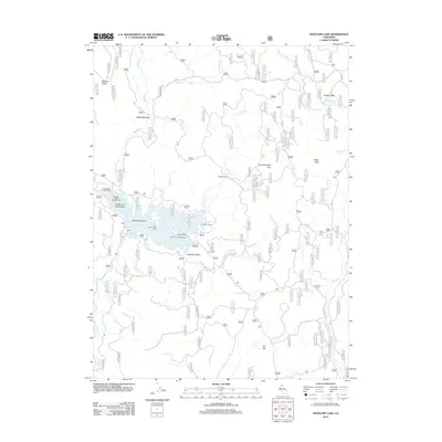 2012 Antelope Lake2012 Print · USGSAntelope Lake and the surrounding Lassen County mountains are captured here in the early 2010s. Researchers and outdoorsmen can trace the drainage of Antelope Cr and locate remote landmarks like Wemple Cabin and the Janesville Grade.
 - 2012 Map of Ferris Creek, 2012 Print
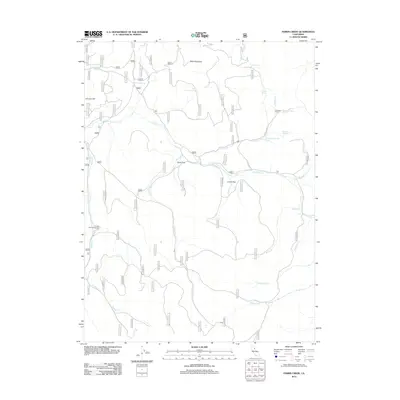 2012 Ferris Creek2012 Print · USGSHigh desert flats and rugged Lassen County peaks come into focus during this 2012 survey of the California wilderness. Researchers can locate remote landmarks like the Downing Cabin and Plinco Sheep Troughs Spring, or trace the winding path of the Doyle Grade.
 - 2012 Map of Belden, 2012 Print
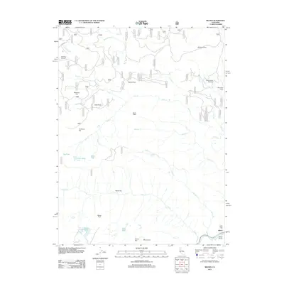 2012 Belden2012 Print · USGSThe North Fork Feather River canyon comes alive in this modern survey of the Sierra Nevada. Local historians can trace the legacy of early industry and mountain travel through features like the Ebbe Stamp Mill, Belden Ravine, and the road over Humbug Summit.
 - 2012 Map of Chester, 2012 Print
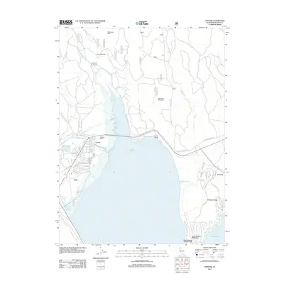 2012 Chester2012 Print · USGSChester and the northern shores of Lake Almanor appear in detail during the early twenty-first century as the area continued to develop for recreation and lakeside living. Researchers can trace the layout of Peninsula Village, find the PO in Chester, and locate Last Chance Campground.
 - 2012 Map of Milford, 2012 Print
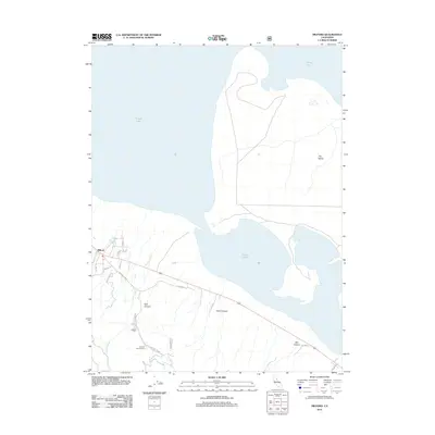 2012 Milford2012 Print · USGSMilford and the western edge of Honey Lake are captured here during the early twenty-first century as the high-desert landscape meets the mountain front. Trace local landmarks like Laufman Campground, the ascent of Milford Grade, and the shoreline at The Island.
 - 2012 Map of Greenville, 2012 Print
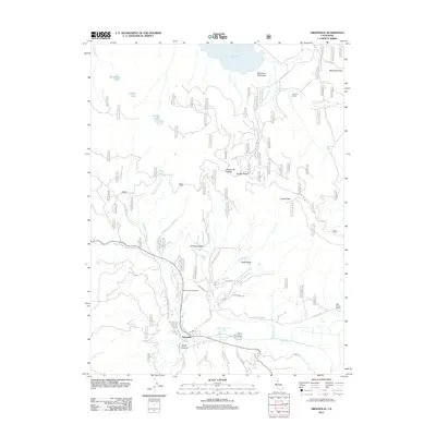 2012 Greenville2012 Print · USGSIn the Plumas County mountains during the early twenty-first century, the town of Greenville remains a central hub surrounded by ridges and valleys. Researchers can trace historic routes like Old Town Rd and locate landmarks including the Peter Lassen Marker and Indian Valley Hot Springs.
 - 2012 Map of Humboldt Peak, 2012 Print
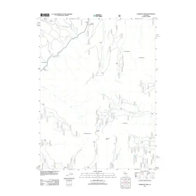 2012 Humboldt Peak2012 Print · USGSButte County's high-elevation wilderness is captured here in the early twenty-first century. Researchers can trace the remote route of Humboldt Rd past landmarks like Robbers Roost, Ruffa Ranch, and the slopes of Humboldt Peak.
 - 2012 Map of Reading Peak, 2012 Print
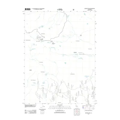 2012 Reading Peak2012 Print · USGSShasta County’s volcanic highlands are documented here during the early twenty-first century, featuring active geothermal landmarks and alpine meadows. Researchers can locate remote sites like Drakesbad, trace the Terminal Geyser, and explore trails near Summit Lake.
 - 2012 Map of Twain, 2012 Print
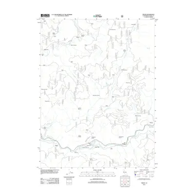 2012 Twain2012 Print · USGSThe Feather River canyon in the early twenty-first century remains defined by its steep geography and historic rail corridor. Genealogists and historians can trace riverside settlements like Twain and Virgilia, or locate the Big Flat Cem and Twain Siding.
 - 2012 Map of Swain Mountain, 2012 Print
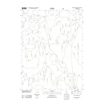 2012 Swain Mountain2012 Print · USGSLassen County's high-elevation timber and meadow lands are captured here in the early 21st century. Researchers can trace the junction of the Lassen Trl near the settlement of Norvell or locate landmarks like Swain Mountain and Jennie Spring.
 - 2012 Map of Crescent Mills, 2012 Print
 2012 Crescent Mills2012 Print · USGSIndian Valley and the Feather River canyons are documented here during the early twenty-first century, showing the enduring rail and river corridors of Plumas County. You can trace the path of the Western Pacific through Tunnel Number 28 and visit Camp Wallace Alexander or the town of Crescent Mills.
 - 2012 Map of Taylorsville, 2012 Print
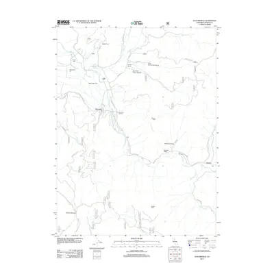 2012 Taylorsville2012 Print · USGSThe northern Sierra Nevada valleys are documented here in the early twenty-first century, showing the small communities of Plumas County. Researchers can trace the layout of Taylorsville, find the Shim Flat Cem, and follow the path of Little Grizzly Cr.
 - 2012 Map of Mount Harkness, 2012 Print
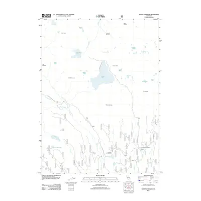 2012 Mount Harkness2012 Print · USGSHigh sierra peaks and glacial lakes dominate the landscape south of the volcanic crest in the early twenty-first century. Researchers can locate remote seasonal outposts like Kelly Camp and trace the road networks connecting Juniper Lake to the Fleischmann Boy Scout Camp.
 - 2012 Map of Caribou, 2012 Print
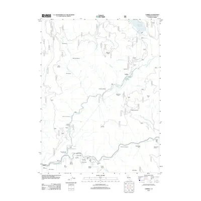 2012 Caribou2012 Print · USGSThe North Fork Feather River canyon comes into focus in the early 2010s, revealing a landscape of hydroelectric infrastructure and river bars. Genealogists and historians can trace old sites like Rich Bar, Smiths Bar, and the settlements of Belden and Caribou.
 - 2012 Map of Humbug Valley, 2012 Print
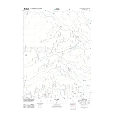 2012 Humbug Valley2012 Print · USGSThe high Sierra meadows of Tehama County are captured here in the early twenty-first century, showing a landscape defined by mountain ranching and remote forest access. Researchers can locate established family lands like Baccala Ranch and Lemm Ranch or trace the routes of Humboldt Rd through Fanani Meadow.
Showing maps 1-25 of 198
Top cities of Plumas County
- Portola historical maps
- Chester historical maps
- Hamilton Branch historical maps
- Chilcoot–Venton historical maps
Frequently asked questions
- What are the different types of historical maps available for Plumas County?
- What is the oldest map of Plumas County?
- Where can I purchase historical maps of Plumas County for my home or office?
- Where can I download high-res historical maps of Plumas County?
- Are there historical topographic maps available for Plumas County?
- Is there historical aerial imagery available for Plumas County?
- Where are historical maps of Plumas County sourced from?