2000s (21st Century) Maps of Plumas County, California
Explore 274 historic maps of Plumas County from the 2000s (21st Century). These maps offer a rare glimpse into what life looked like during the 2000s — showing old roads, neighborhoods, homes, and landmarks that have changed or disappeared over time.
Whether you're researching your family's past, planning a metal detecting trip, or studying how Plumas County's landscape evolved across the 2000s, these high-resolution maps are a powerful tool for exploring the history of this region.
- Focus on a specific era: All maps on this page are from the 2000s, giving you a focused view of this time period.
- See what’s changed: Compare century-old streets, trails, and buildings to today's modern landscape using overlays and satellite layers.
- Research with precision: Use these maps for genealogy, historical research, land use analysis, or educational projects.
- View, download, or print: Maps are fully viewable online in high resolution, and can be downloaded or printed for your own records.
Start exploring Plumas County's history through authentic maps from the 2000s. This is your window into the past.
Plumas County, CA maps
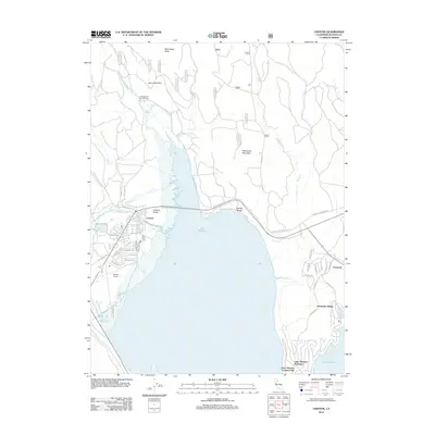
(274)- 2000 Map of Loyalton, 2003 Print
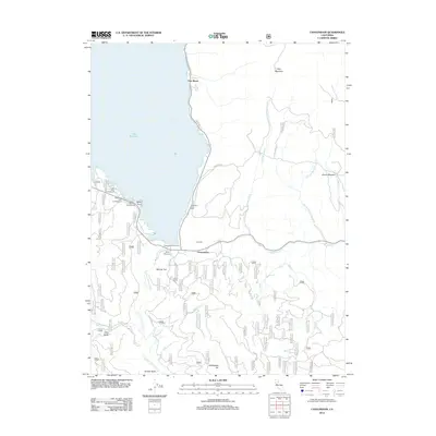
 2000 Loyalton2003 Print · USGSLoyalton and the surrounding Sierra Valley are shown at the turn of the millennium as timber and ranching landscapes met forest service conservation. Researchers can trace family sites near Loyalton, the Cem, and historical routes like Staverville Road.
 - 2000 Map of Calpine, 2003 Print
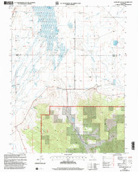
 2000 Calpine2003 Print · USGSThe town of Calpine sits at the intersection of forest and valley floor during the turn of the millennium. Researchers can locate the Westside Cemetery, trace the path of CHANNELS across the valley, and find landmarks like McElroy Hill or the Landing Strip.
 - 2000 Map of Clio, 2003 Print
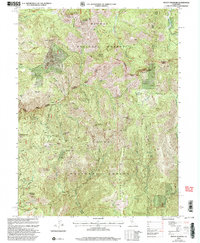
 2000 Clio2003 Print · USGSThe northern Sierra Nevada highlands meet the Mohawk Valley at the turn of the century, showing a landscape defined by forest service lands and old mining claims. Researchers can trace the heritage of Clio or locate sites like Hayden Mine and Fournier Cabins.
 - 2000 Map of Mount Fillmore, 2003 Print
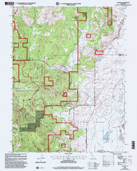
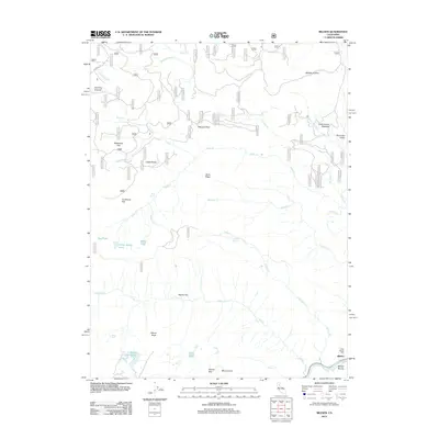
 2000 Mount Fillmore2003 Print · USGSThe high Sierra Ridges at the turn of the millennium remain defined by their gold-mining heritage and national forest boundaries. Genealogists and historians can trace old mining camps and extraction sites like Poker Flat, Deadwood Diggings, and the California Mine.2 unique versions available
 - 2000 Map of Gold Lake, 2003 Print
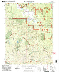
 2000 Gold Lake2003 Print · USGSThe Sierra Nevada high country at the turn of the millennium reveals a storied landscape of alpine resorts and historic mining claims. Researchers can trace the heritage of the Beckworth Downieville Trail or locate old sites like the Jamison Mine and Four Hills Mine.
 - 2000 Map of Antelope Valley, 2003 Print
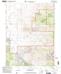
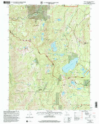
 2000 Antelope Valley2003 Print · USGSAntelope Valley and the high Sierra country are captured here at the turn of the millennium, showing a landscape defined by water management and timber lands. Trace the network of Sierra Valley Channels and find local landmarks like Lombardi Point and Rice Hill.
 - 2012 Map of Babcock Peak, 2012 Print
 2012 Babcock Peak2012 Print · USGSCovers Plumas County, including United States, California, and other nearby areas
 - 2012 Map of Ross Canyon, 2012 Print
 2012 Ross Canyon2012 Print · USGSCovers Plumas County, including United States, California, and other nearby areas
 - 2012 Map of Genesee Valley, 2012 Print
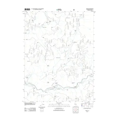
 2012 Genesee Valley2012 Print · USGSCovers Plumas County, including United States, California, and other nearby areas
 - 2012 Map of Moonlight Peak, 2012 Print
 2012 Moonlight Peak2012 Print · USGSCovers Plumas County, including Lassen County, United States, and other nearby areas
 - 2012 Map of McKesick Peak, 2012 Print
 2012 McKesick Peak2012 Print · USGSCovers Plumas County, including Lassen County, United States, and other nearby areas
 - 2012 Map of Kettle Rock, 2012 Print
 2012 Kettle Rock2012 Print · USGSCovers Plumas County, including United States, California, and other nearby areas
 - 2012 Map of Stony Ridge, 2012 Print
 2012 Stony Ridge2012 Print · USGSCovers Plumas County, including Lassen County, United States, and other nearby areas
 - 2012 Map of Diamond Mountain, 2012 Print
 2012 Diamond Mountain2012 Print · USGSCovers Plumas County, including Susanville, Lassen County, and other nearby areas
 - 2012 Map of Fredonyer Pass, 2012 Print
 2012 Fredonyer Pass2012 Print · USGSCovers Plumas County, including Lassen County, United States, and other nearby areas
 - 2012 Map of Canyondam, 2012 Print
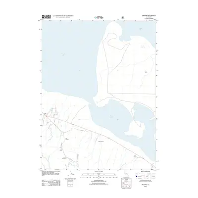
 2012 Canyondam2012 Print · USGSCovers Plumas County, including East Shore, Canyon Dam, and other nearby areas
 - 2012 Map of Antelope Lake, 2012 Print
 2012 Antelope Lake2012 Print · USGSCovers Plumas County, including Lassen County, United States, and other nearby areas
 - 2012 Map of Ferris Creek, 2012 Print
 2012 Ferris Creek2012 Print · USGSCovers Plumas County, including Lassen County, United States, and other nearby areas
 - 2012 Map of Belden, 2012 Print
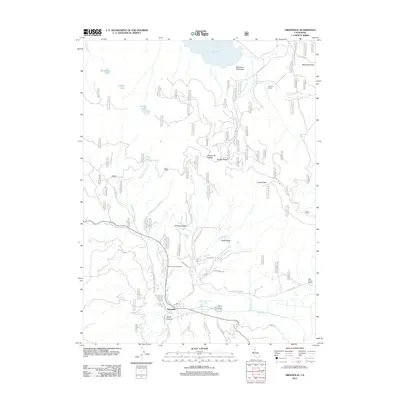
 2012 Belden2012 Print · USGSCovers Plumas County, including Butte County, United States, and other nearby areas
 - 2012 Map of Chester, 2012 Print
 2012 Chester2012 Print · USGSCovers Plumas County, including Chester, Peninsula Village, and other nearby areas
 - 2012 Map of Milford, 2012 Print
 2012 Milford2012 Print · USGSCovers Plumas County, including Milford, Lassen County, and other nearby areas
 - 2012 Map of Greenville, 2012 Print
 2012 Greenville2012 Print · USGSCovers Plumas County, including Greenville, Lassen County, and other nearby areas
 - 2012 Map of Humboldt Peak, 2012 Print
 2012 Humboldt Peak2012 Print · USGSCovers Plumas County, including Butte County, Tehama County, and other nearby areas
 - 2012 Map of Reading Peak, 2012 Print
 2012 Reading Peak2012 Print · USGSCovers Plumas County, including Shasta County, Tehama County, and other nearby areas
 - 2012 Map of Twain, 2012 Print
 2012 Twain2012 Print · USGSCovers Plumas County, including Virgilia, Feather River Hot Springs, and other nearby areas
Showing maps 1-25 of 274
Top cities of Plumas County
- Portola historical maps
- Chester historical maps
- Hamilton Branch historical maps
- Chilcoot–Venton historical maps
Frequently asked questions
- What are the different types of historical maps available for Plumas County?
- What is the oldest map of Plumas County?
- Where can I purchase historical maps of Plumas County for my home or office?
- Where can I download high-res historical maps of Plumas County?
- Are there historical topographic maps available for Plumas County?
- Is there historical aerial imagery available for Plumas County?
- Where are historical maps of Plumas County sourced from?