2020s Maps of Archuleta County, Colorado
Explore 43 historic maps of Archuleta County from the 2020s. These maps offer a rare glimpse into what life looked like during the 2020s — showing old roads, neighborhoods, homes, and landmarks that have changed or disappeared over time.
Whether you're researching your family's past, planning a metal detecting trip, or studying how Archuleta County's landscape evolved across the 2020s, these high-resolution maps are a powerful tool for exploring the history of this region.
- Focus on a specific era: All maps on this page are from the 2020s, giving you a focused view of this time period.
- See what’s changed: Compare century-old streets, trails, and buildings to today's modern landscape using overlays and satellite layers.
- Research with precision: Use these maps for genealogy, historical research, land use analysis, or educational projects.
- View, download, or print: Maps are fully viewable online in high resolution, and can be downloaded or printed for your own records.
Start exploring Archuleta County's history through authentic maps from the 2020s. This is your window into the past.
Archuleta County, CO maps
(43)- 2020 Map of Chromo Mountain, 2020 Print
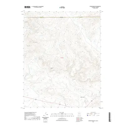 2020 Chromo Mountain2020 Print · USGSThe Colorado and New Mexico borderlands come into focus in this contemporary survey of the high mountain divide. Researchers can trace the path of the Azotea Tunnel and the headwaters of the Rio Chamita near the settlement of Willow Creek.
 - 2020 Map of West Fork Rio Brazos, 2020 Print
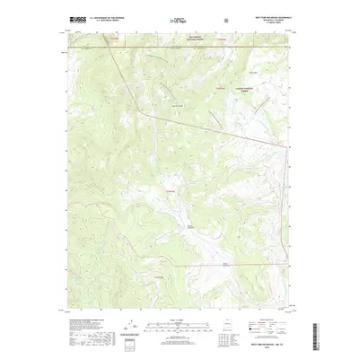 2020 West Fork Rio Brazos2020 Print · USGSHigh-country headwaters and forest boundaries define this Rio Arriba County landscape during the early twenty-first century. Hikers and cartographic researchers can trace the Continental Divide National Scenic Trail as it winds past Brazos Meadows and Apache Canyon.
 - 2020 Map of Dulce, 2020 Print
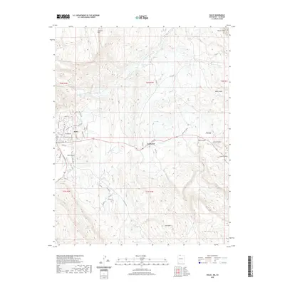 2020 Dulce2020 Print · USGSThe high plateau country of Rio Arriba County comes into focus in this recent survey of the Jicarilla Apache territory. Researchers can trace the developed streets of Dulce and Lumberton or locate natural landmarks like Archuleta Mesa and Atole Pond.
 - 2020 Map of Monero, 2020 Print
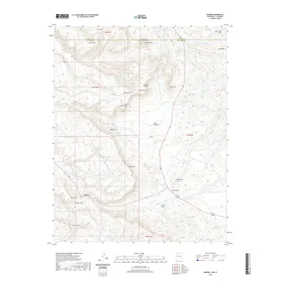 2020 Monero2020 Print · USGSThe high mesas of the New Mexico and Colorado border come into sharp focus in this recent survey. Local historians and genealogists can trace the roads around Monero and locate landmarks like the Cem Rd, Crowley Reservoir, and Mesa Diamante.
 - 2020 Map of Chama, 2020 Print
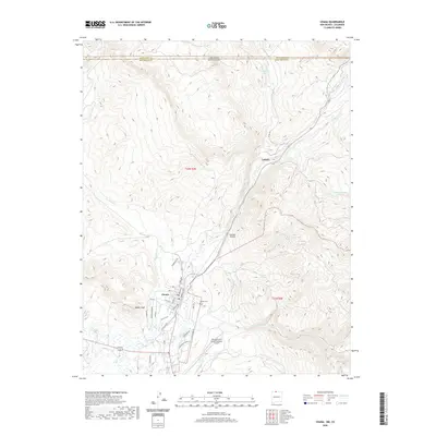 2020 Chama2020 Print · USGSHigh in the northern New Mexico mountains near the Colorado border, the village of Chama serves as a modern crossroads for the ranching and water resources of the upper Rio Chama. Researchers can locate the Chama Cemetery and trace early settlement patterns at Lobato.
 - 2020 Map of Bancos Mesa NW, 2020 Print
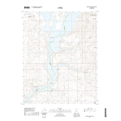 2020 Bancos Mesa NW2020 Print · USGSNavajo Reservoir cuts through the high-mesa country of San Juan and Rio Arriba counties in this recent survey. Researchers can trace the isolated settlement at Young Place and explore the rugged drainage systems of Cañon Bancos and Cottonwood Canyon.
 - 2022 Map of Blackhead Peak, 2022 Print
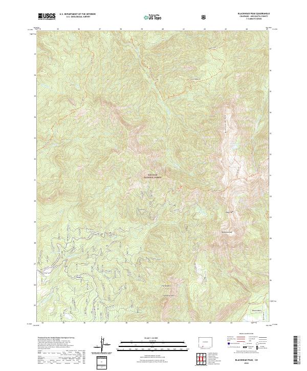 2022 Blackhead Peak2022 Print · USGSThe Southern Rockies meet the high forest of Archuleta County in this modern survey of the San Juan National Forest. Researchers can trace remote high-altitude routes like the Quartz Ridge Trl to landmarks including Blackhead Peak and Quartz Lake.
 - 2022 Map of Archuleta Creek, 2022 Print
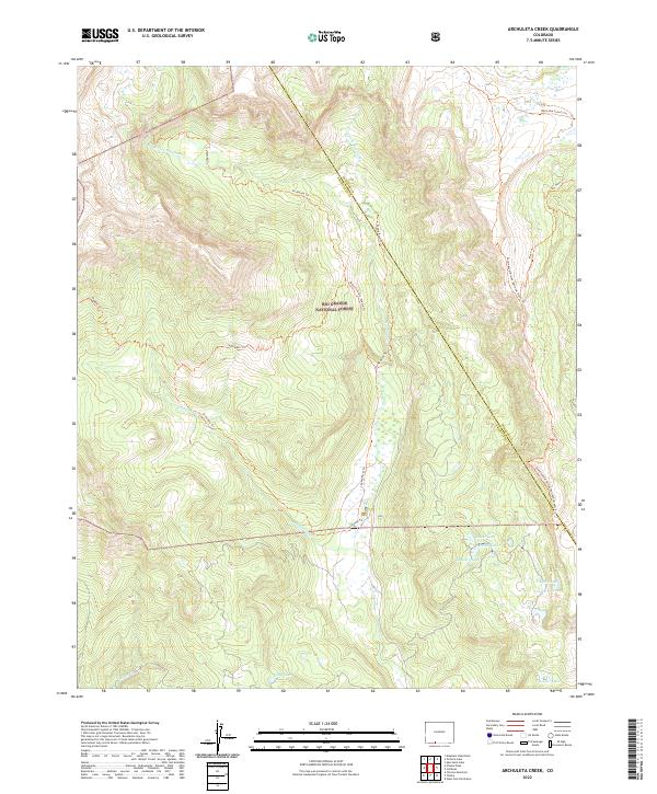 2022 Archuleta Creek2022 Print · USGSThe high San Juan wilderness comes into focus in this 2022 survey of the Colorado backcountry. You can trace the Continental Divide National Scenic Trl past remote water bodies like Mystery Lake and Crater Lake.
 - 2022 Map of Saddle Mountain, 2022 Print
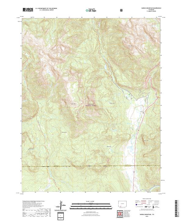 2022 Saddle Mountain2022 Print · USGSThe high ridges of the San Juan mountains come alive in this modern survey of the Mineral and Archuleta county line. Genealogists and researchers can trace the valley's settlement history through the McCoy Cem and established landmarks like Hatcher Lakes and Poison Park.
 - 2022 Map of Harris Lake, 2022 Print
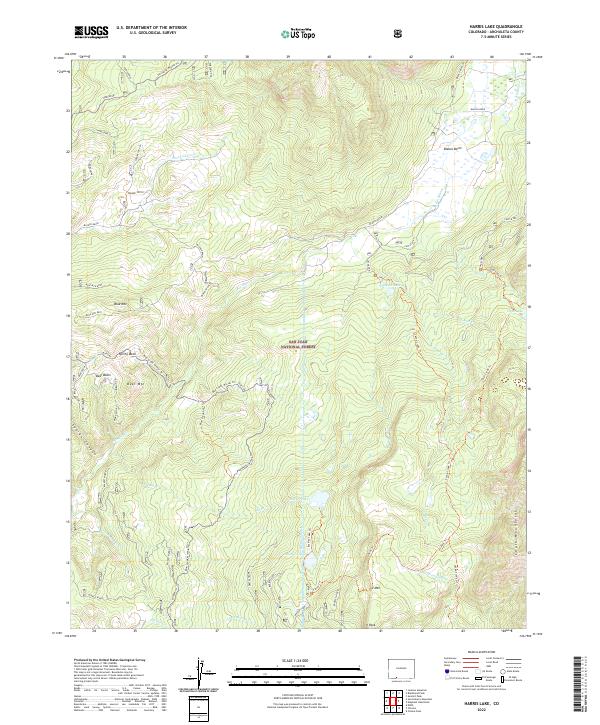 2022 Harris Lake2022 Print · USGSArchuleta County’s high country is captured here during the early twenty-first century within the San Juan National Forest. Modern researchers can trace backcountry routes like the Opal Lake Trl and locate landmarks such as the Blanco Tunnel or Square Top GS.
 - 2022 Map of Cumbres, 2022 Print
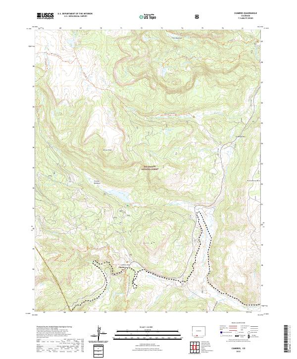 2022 Cumbres2022 Print · USGSThe high mountain passes of the Rio Grande National Forest come into focus during this modern era of Colorado land management. Genealogists and researchers can trace the routes through Cumbres Pass and La Manga Pass, or locate the specific topography of Trujillo Meadows and Jarosa Peak.
 - 2022 Map of Jackson Mountain, 2022 Print
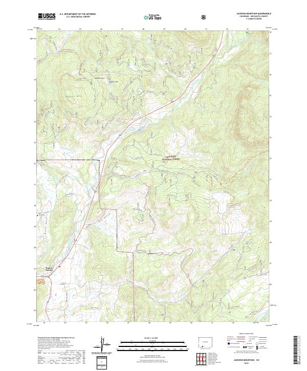 2022 Jackson Mountain2022 Print · USGSModern Archuleta County comes to life in this detailed view of the high-country landscape surrounding Pagosa Springs. Researchers can trace irrigation history through Park Ditch or locate family history at the Eoff Ranch Cem and Rito Blanco Ranch.
 - 2022 Map of Summit Peak, 2022 Print
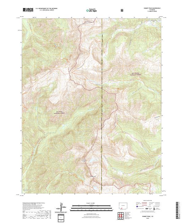 2022 Summit Peak2022 Print · USGSThe high alpine crest of the Southern Rockies comes into focus on this 2022 survey of the Continental Divide. Trace the remote headwaters of the Rio Blanco and navigate through Gunsight Pass or the expansive Haskell Rincon.
 - 2022 Map of Victoria Lake, 2022 Print
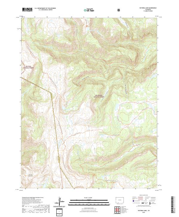 2022 Victoria Lake2022 Print · USGSThe high San Juan Mountains are captured here in the 2020s, showing the intersection of the Rio Grande and San Juan National Forests. Backcountry travelers and researchers can trace the Continental Divide National Scenic Trl past alpine waters like Victoria Lake and Laguna Ruybal.
 - 2022 Map of Pagosa Peak, 2022 Print
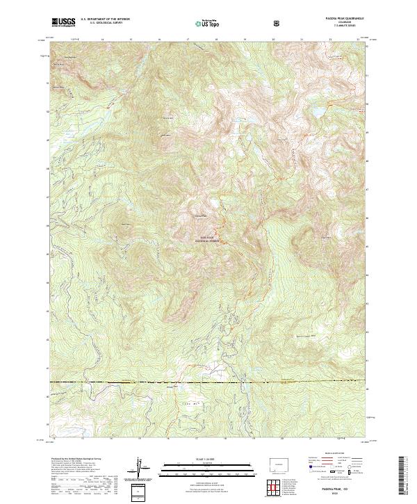 2022 Pagosa Peak2022 Print · USGSThe high backcountry of the San Juan Mountains is documented here in the early twenty-first century, centered on the prominent Pagosa Peak. Outdoor researchers can trace water infrastructure like Dutton Ditch or follow the paths of the Turkey Creek Trl and Piedra Falls Trl.
 - 2022 Map of Lonetree Canyon, 2022 Print
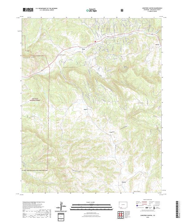 2022 Lonetree Canyon2022 Print · USGSArchuleta County's high-elevation terrain is captured here in the early twenty-first century, showcasing the landscape's transition into the San Juan National Forest. Researchers can trace old routes near Dyke and Nutria, or locate landmarks like Haystack Mtn and Broken Off Point.
 - 2022 Map of Chimney Rock, 2022 Print
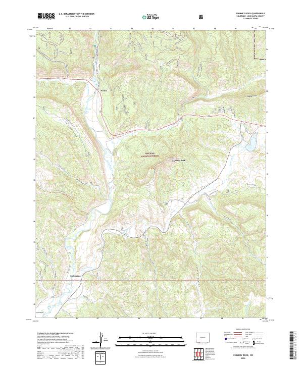 2022 Chimney Rock2022 Print · USGSArchuleta County's high country is captured here in the early 2020s, centered on the historic mountain corridors and the San Juan National Forest. Researchers can locate sites like the Stollsteimer settlement, the Great House Trl, and Capote Lake.
 - 2022 Map of Bear Mountain, 2022 Print
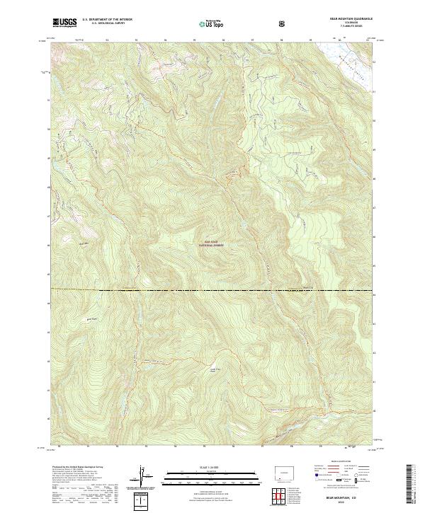 2022 Bear Mountain2022 Print · USGSHinsdale and Archuleta counties are shown here in the 2020s, dominated by the backcountry of the San Juan National Forest. Genealogists and hikers can trace historic paths like the Coldwater Stock Dr Trl and identify landmarks such as Bear Park and Lone Tree Park.
 - 2022 Map of Carracas, 2022 Print
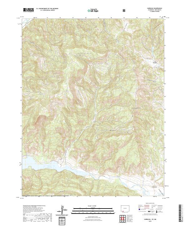 2022 Carracas2022 Print · USGSArchuleta County's borderlands are defined by the meeting of the San Juan River and the Navajo Reservoir in the early twenty-first century. Genealogists and researchers can trace the roads around Carracas and navigate the high terrain of Sandoval Mesa and Carracas Rim.
 - 2022 Map of Allison, 2022 Print
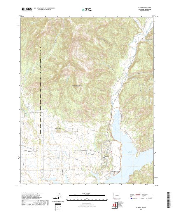 2022 Allison2022 Print · USGSThe Colorado-New Mexico borderlands near Arboles are defined by the convergence of the Piedra River and the sprawling Navajo Reservoir. Researchers can trace the modern layout of rural settlements and irrigation infrastructure like the Miller Ditch and Darlington Ditch.
 - 2022 Map of Chromo, 2022 Print
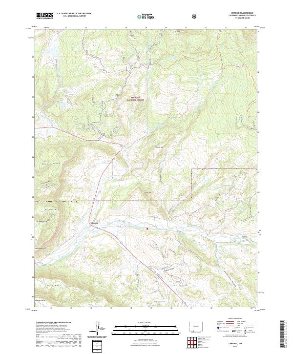 2022 Chromo2022 Print · USGSThe Archuleta County high country near the New Mexico border is shown here in the 2020s, dominated by the San Juan National Forest. Genealogists and historians can trace the irrigation systems of Chromo, from the Blanco Tunnel to the Midland Ditch.
 - 2022 Map of Elephant Head Rock, 2022 Print
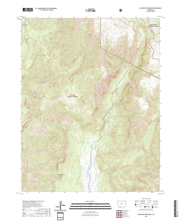 2022 Elephant Head Rock2022 Print · USGSArchuleta and Conejos counties are captured here in the early 2020s, showing the intersection of two national forests. Trace the high-altitude trails to Opal Lake, Elephant Head Rock, and the remote Fall Cr Reservoir.
 - 2022 Map of Chama Peak, 2022 Print
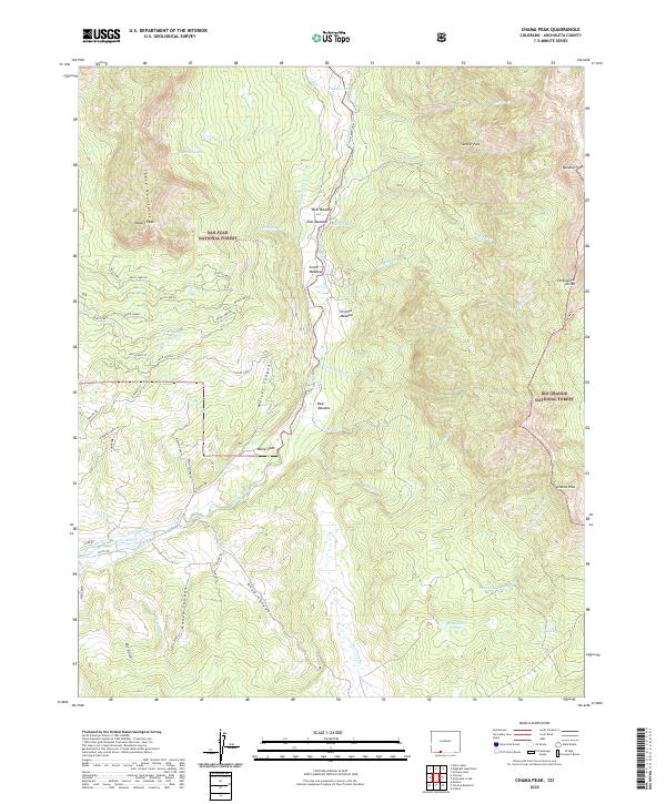 2022 Chama Peak2022 Print · USGSThe high country of Archuleta County is captured here as it spans two national forests and the Continental Divide. Trace local water history through the Oso Tunnel, King Ditch, and high peaks like Chama Peak.
 - 2022 Map of Devil Mountain, 2022 Print
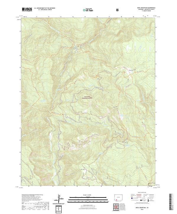 2022 Devil Mountain2022 Print · USGSSan Juan National Forest in southwestern Colorado is documented here in the early twenty-first century, showing a high-country landscape dominated by peaks and deep river canyons. Researchers can trace historic access routes like the Piedra Trl and locate remote water sources such as Piedra River Hot Springs and Ford Spring.
 - 2022 Map of Elwood Pass, 2022 Print
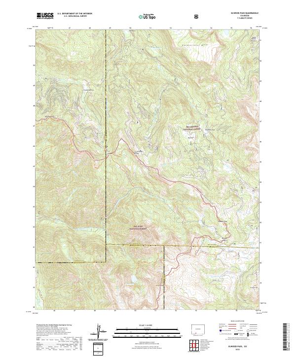 2022 Elwood Pass2022 Print · USGSThe high alpine passes of the San Juan Mountains are documented here in the early twenty-first century, showing where the Great Divide splits the wilderness. Researchers can trace historic routes through Railroad Pass and Elwood Pass or locate the site of the Minesite Cabin.
Showing maps 1-25 of 43
Top cities of Archuleta County
Frequently asked questions
- What are the different types of historical maps available for Archuleta County?
- What is the oldest map of Archuleta County?
- Where can I purchase historical maps of Archuleta County for my home or office?
- Where can I download high-res historical maps of Archuleta County?
- Are there historical topographic maps available for Archuleta County?
- Is there historical aerial imagery available for Archuleta County?
- Where are historical maps of Archuleta County sourced from?