2010s Maps of Archuleta County, Colorado
Explore 142 historic maps of Archuleta County from the 2010s. These maps offer a rare glimpse into what life looked like during the 2010s — showing old roads, neighborhoods, homes, and landmarks that have changed or disappeared over time.
Whether you're researching your family's past, planning a metal detecting trip, or studying how Archuleta County's landscape evolved across the 2010s, these high-resolution maps are a powerful tool for exploring the history of this region.
- Focus on a specific era: All maps on this page are from the 2010s, giving you a focused view of this time period.
- See what’s changed: Compare century-old streets, trails, and buildings to today's modern landscape using overlays and satellite layers.
- Research with precision: Use these maps for genealogy, historical research, land use analysis, or educational projects.
- View, download, or print: Maps are fully viewable online in high resolution, and can be downloaded or printed for your own records.
Start exploring Archuleta County's history through authentic maps from the 2010s. This is your window into the past.
Archuleta County, CO maps
(142)- 2010 Map of Chama, 2010 Print
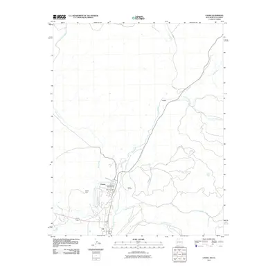 2010 Chama2010 Print · USGSThe village of Chama and its narrow-gauge heritage are preserved here in the early twenty-first century. Genealogists and rail historians can trace the Cumbres and Toltec Scenic Railroad through the valley, past the Chama Cemetery and the settlement of Lobato.
 - 2010 Map of Chromo Mountain, 2010 Print
 2010 Chromo Mountain2010 Print · USGSThe high-country borderlands between New Mexico and Colorado are mapped here in the early twenty-first century. Researchers can trace the engineering of the Azotea Tunnel and the drainage of Rio Chamita near Chromo Mountain and Beaver Lake.
 - 2010 Map of Bancos Mesa NW, 2010 Print
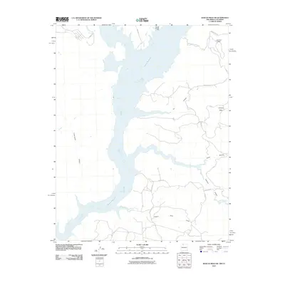 2010 Bancos Mesa NW2010 Print · USGSNavajo Reservoir and its sprawling desert shoreline are documented here during the first decade of the new millennium. Researchers can trace high-altitude mesa roads and vital water infrastructure like the Navajo Landing Strip, Miller Ditch, and Bancos.
 - 2010 Map of Allison, 2010 Print
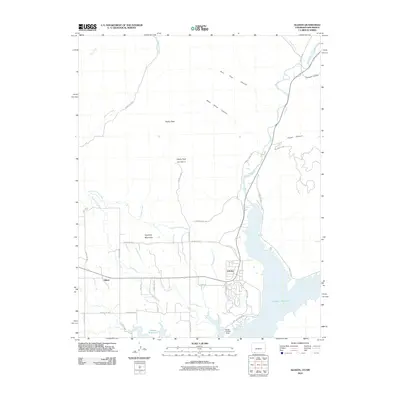 2010 Allison2010 Print · USGSThe Colorado-New Mexico borderlands come into focus at the start of the 2010s, centered on the waters of the Navajo Reservoir. Researchers can trace local water rights through the Miller Ditch and Darlington Ditch or locate family homesteads near Allison and Arboles.
 - 2011 Map of Lonetree Canyon, 2011 Print
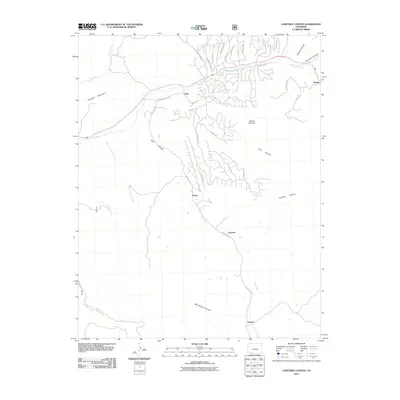 2011 Lonetree Canyon2011 Print · USGSThe high canyonlands near the Colorado-New Mexico border are captured here just after the turn of the millennium. Researchers can trace the rural communities of Dyke and Altura or locate landmarks like Haystack Mountain and Broken Off Point.
 - 2011 Map of Bear Mountain, 2011 Print
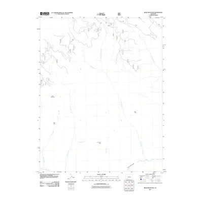 2011 Bear Mountain2011 Print · USGSArchuleta County's high country is captured here during the early 2010s, showing a landscape defined by deep canyons and remote forest parks. Explorers can trace the rugged drainage of Hell Creek or locate landmarks like Bear Park and the sheer Rock Cliff.
 - 2011 Map of Devil Mountain, 2011 Print
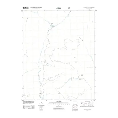 2011 Devil Mountain2011 Print · USGSArchuleta County's high forest terrain is captured here in the early twenty-first century, showing a landscape shaped by river canyons and hunter basecamps. Researchers can trace forest access roads to Tres Piedras Ranch, First Box Canyon, and the Mesa Spring Hunter Campground.
 - 2011 Map of Chimney Rock, 2011 Print
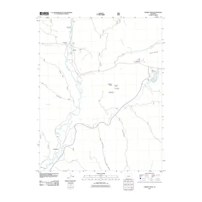 2011 Chimney Rock2011 Print · USGSArchuleta County's high-country landscapes are documented in this 2011 survey, showing a mix of ancient heritage and modern resource management. Researchers can locate the Chimney Rock Archeological Area and trace the paths of the Piedra River and Stollsteimer Creek.
 - 2011 Map of Oakbrush Hill, 2011 Print
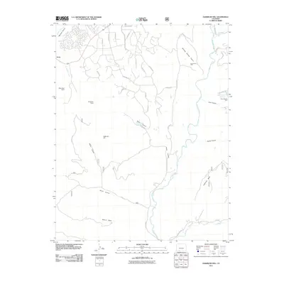 2011 Oakbrush Hill2011 Print · USGSArchuleta County at the start of the 2010s shows a landscape of new mountain neighborhoods emerging alongside deep-rooted ranching history. Genealogists and researchers can trace local landmarks like Seavy Ranch Mine and Echo Canyon Reservoir or follow the paths of the San Juan River and Rio Blanco.
 - 2011 Map of Baldy Mountain, 2011 Print
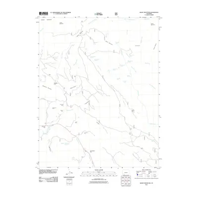 2011 Baldy Mountain2011 Print · USGSHigh Colorado peaks and remote mining sites define this area in the early 21st century. Historians and researchers can trace the locations of the Medicine Mine, Shamrock Mines, and Columbine Mine, alongside landmarks like Yellowjacket Pass.
 - 2011 Map of Oakbrush Ridge, 2011 Print
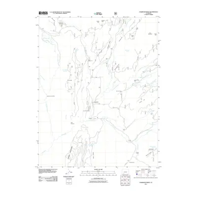 2011 Oakbrush Ridge2011 Print · USGSMineral County ranching and recreation are centered around the forks of the Piedra River in this early twenty-first-century survey. Trace the local infrastructure of the era, from the Debs Community Hall to high-elevation water works at Spring Creek Reservoir Dam and Trail Ridge Reservoir.
 - 2011 Map of Granite Peak, 2011 Print
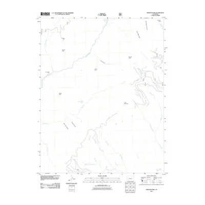 2011 Granite Peak2011 Print · USGSLa Plata County during the early 21st century reveals a landscape of high peaks and river headwaters defined by the Weminuche Wilderness. Researchers can locate the Holbrook Mine, trace the Los Pinos River, and identify landmarks like Granite Peak Ranch.
 - 2011 Map of Summit Peak, 2011 Print
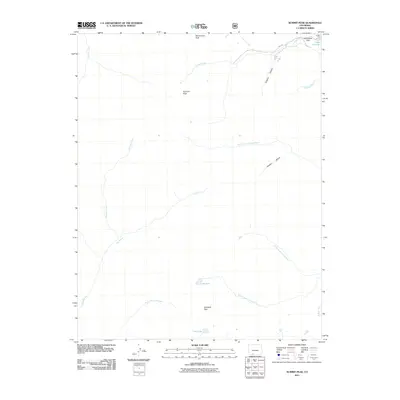 2011 Summit Peak2011 Print · USGSThe high San Juan wilderness in Conejos County is captured here in the early twenty-first century, showcasing a landscape of alpine peaks and headwaters. You can trace the drainage of the Rio Blanco and locate remote landmarks like Gunsight Pass and Horsethief Park.
 - 2011 Map of Archuleta Creek, 2011 Print
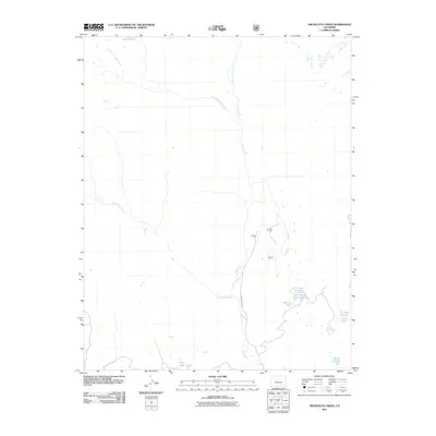 2011 Archuleta Creek2011 Print · USGSHigh in the Colorado Rockies during the early 2000s, this survey captures the headwaters of the Rio Chama and its major forks. Trace the primitive road networks along County Rd 50.00 to reach remote water bodies like Chama Lake, Crater Lake, and Kelly Lake.
 - 2011 Map of Wolf Creek Pass, 2011 Print
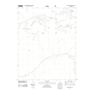 2011 Wolf Creek Pass2011 Print · USGSMineral County's high alpine gaps and river headwaters are documented here during the early twenty-first century. Outdoor enthusiasts and researchers can trace the routes through Wolf Creek Pass, find landmarks like Treasure Falls, and locate the Alberta Park Reservoir.
 - 2011 Map of Elwood Pass, 2011 Print
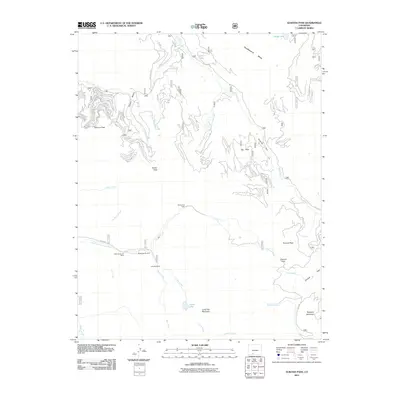 2011 Elwood Pass2011 Print · USGSThe high passes and historic mining claims of Mineral County are preserved here in the early twenty-first century. Researchers can trace the heritage of the Black Diamond Mine and Robert Burns Claim or locate the remote McCormick Cabin.
 - 2011 Map of Victoria Lake, 2011 Print
 2011 Victoria Lake2011 Print · USGSHigh in the Colorado mountains during the early 2010s, this area preserves a pristine alpine headwaters system. Researchers can trace the sources of the South Fork Conejos River and the East Fork Rio Chama near landmarks like Victoria Lake and Chama Lake.
 - 2011 Map of Harris Lake, 2011 Print
 2011 Harris Lake2011 Print · USGSArchuleta County’s high country is captured here during a time of modern water management and backcountry recreation. Researchers can trace the drainage of the Rio Blanco and locate family-named landmarks like the Harris Brothers and Boone Number 1 Dam and Slesinger Reservoir.
 - 2011 Map of West Fork Rio Brazos, 2011 Print
 2011 West Fork Rio Brazos2011 Print · USGSIn the high country of northern New Mexico during the early twenty-first century, this landscape is defined by remote seasonal camps and deep canyons. Researchers can trace the trails to Huffaker Cabin or locate the administrative Apache Forest Service Facility near the West Fork Rio Brazos.
 - 2011 Map of Serviceberry Mountain, 2011 Print
 2011 Serviceberry Mountain2011 Print · USGSArchuleta County is captured in the early 21st century as a rugged landscape of high mesas and managed waterways. Genealogists and researchers can trace local family-named landmarks and modern land divisions near Serviceberry Mountain, Echo Canyon Reservoir, and Eightmile Mesa.
 - 2011 Map of Chama Peak, 2011 Print
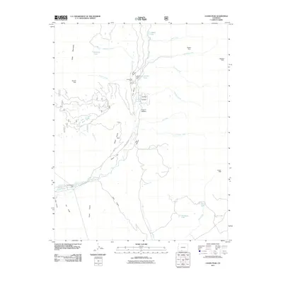 2011 Chama Peak2011 Print · USGSArchuleta County's high mountain terrain is captured here in the early twenty-first century, centered on the intersection of ranching and resource extraction. Researchers can trace the layout of the Gramps Oil Field or locate mountain landmarks like Banded Peak and the Oso Diversion Dam.
 - 2011 Map of Cumbres, 2011 Print
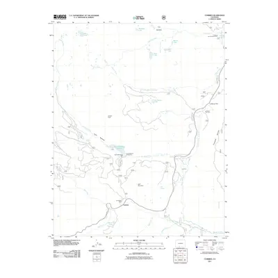 2011 Cumbres2011 Print · USGSCumbres and the high passes of the San Juan Mountains are captured here in the early twenty-first century. Genealogists and historians can trace seasonal settlements and mountain infrastructure like La Manga Cow Camp, Los Pinos, and the Trujillo Meadows Dam.
 - 2011 Map of Elephant Head Rock, 2011 Print
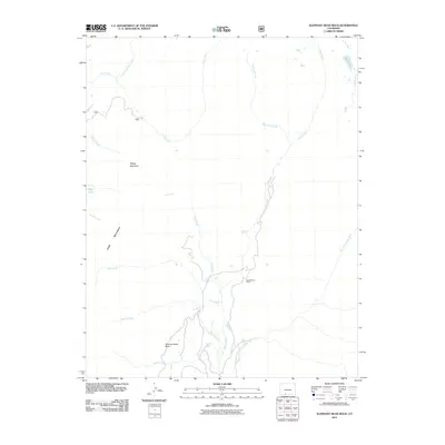 2011 Elephant Head Rock2011 Print · USGSConejos County's high-country wilderness is documented here in the early twenty-first century, featuring the headwaters of the Navajo River. Researchers can trace remote landmarks like Elephant Head Rock and Banded Peak Ranch among the slopes of the Chalk Mountains.
 - 2011 Map of Chromo, 2011 Print
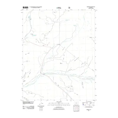 2011 Chromo2011 Print · USGSChromo and the high mesas of southwestern Colorado are mapped here in the early twenty-first century as the landscape was shaped by river irrigation. Genealogists and hikers can trace water rights through Elmer Ditch or locate the Navajo Peak Trailhead and Oso Tunnel.
 - 2011 Map of Saddle Mountain, 2011 Print
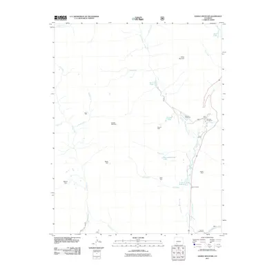 2011 Saddle Mountain2011 Print · USGSHigh in the Colorado Rockies during the early twenty-first century, this area shows a landscape shaped by water management and mountain recreation. Genealogists and historians can locate the McCoy Cemetery, the remote Blacks Mine, and landmarks like the West Fork Ranch.
Showing maps 1-25 of 142
Top cities of Archuleta County
Frequently asked questions
- What are the different types of historical maps available for Archuleta County?
- What is the oldest map of Archuleta County?
- Where can I purchase historical maps of Archuleta County for my home or office?
- Where can I download high-res historical maps of Archuleta County?
- Are there historical topographic maps available for Archuleta County?
- Is there historical aerial imagery available for Archuleta County?
- Where are historical maps of Archuleta County sourced from?