2000s (21st Century) Maps of Archuleta County, Colorado
Explore 190 historic maps of Archuleta County from the 2000s (21st Century). These maps offer a rare glimpse into what life looked like during the 2000s — showing old roads, neighborhoods, homes, and landmarks that have changed or disappeared over time.
Whether you're researching your family's past, planning a metal detecting trip, or studying how Archuleta County's landscape evolved across the 2000s, these high-resolution maps are a powerful tool for exploring the history of this region.
- Focus on a specific era: All maps on this page are from the 2000s, giving you a focused view of this time period.
- See what’s changed: Compare century-old streets, trails, and buildings to today's modern landscape using overlays and satellite layers.
- Research with precision: Use these maps for genealogy, historical research, land use analysis, or educational projects.
- View, download, or print: Maps are fully viewable online in high resolution, and can be downloaded or printed for your own records.
Start exploring Archuleta County's history through authentic maps from the 2000s. This is your window into the past.
Archuleta County, CO maps
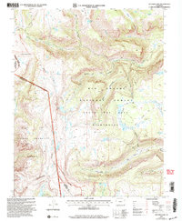
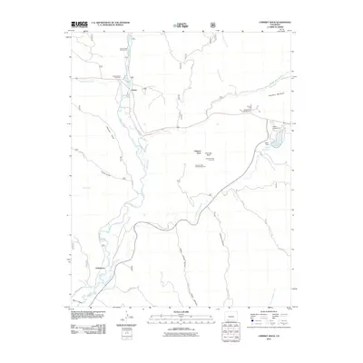
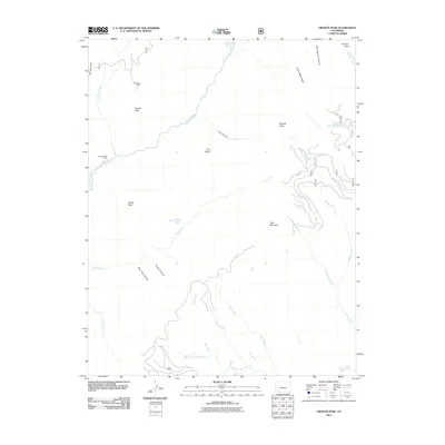
(190)- 2001 Map of Elwood Pass, 2005 Print
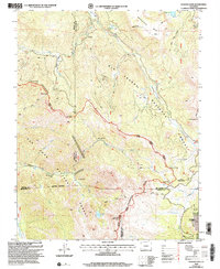 2001 Elwood Pass2005 Print · USGSHigh in the San Juan Mountains at the turn of the twenty-first century, this landscape preserves the rugged intersection of the Continental Divide. Researchers can trace historic alpine routes and prospecting sites like Elwood Pass, Black Diamond Mine, and McCormick Cabin.2 unique versions available
 - 2001 Map of Archuleta Creek, 2005 Print
 2001 Archuleta Creek2005 Print · USGSThe high country of Archuleta and Conejos counties is captured here at the turn of the millennium, defined by the Tierra Amarilla Grant. Researchers can trace old mountain routes like the West Fork Trail and locate the historic Archuleta Corral along the Rio Chama.
 - 2001 Map of Cumbres, 2005 Print
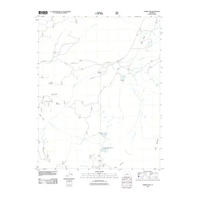
 2001 Cumbres2005 Print · USGSHigh in the San Juan Mountains at the turn of the millennium, this area shows the isolated rail stations and summer settlements of the southern Colorado border. Trace the winding Cumbres and Toltec Scenic Railroad through Cumbres Pass past the Snow Shed and remote Osier.
 - 2001 Map of Summit Peak, 2005 Print
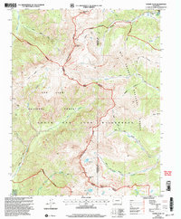 2001 Summit Peak2005 Print · USGSThe high alpine crest of the Colorado Rockies is documented here at the turn of the millennium. Hikers and historians can trace high-country routes like the Treasure Pass Trail and Stock Driveway past landmarks like Summit Peak and Lake Ann.
 - 2001 Map of Victoria Lake, 2005 Print
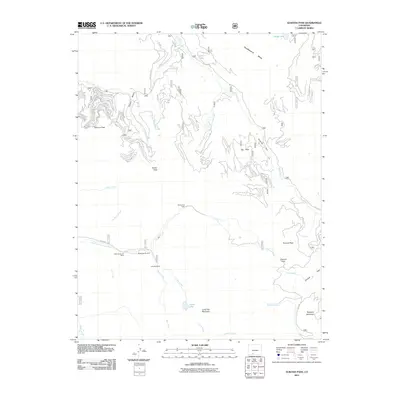
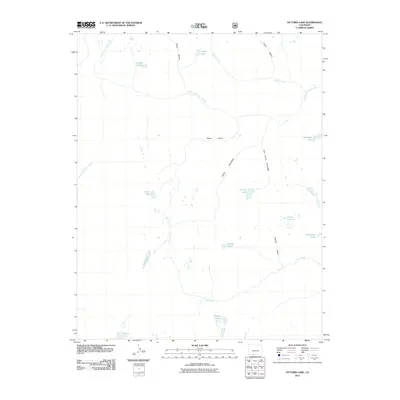
 2001 Victoria Lake2005 Print · USGSSouthern Colorado's high-altitude wilderness is captured here at the turn of the millennium, spanning the divide between national forests. Trace the historic Pierra Amarilla Grant and remote alpine waters like Victoria Lake and Chama Lake.2 unique versions available
 - 2010 Map of Chama, 2010 Print
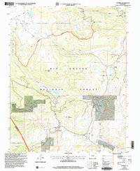
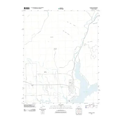
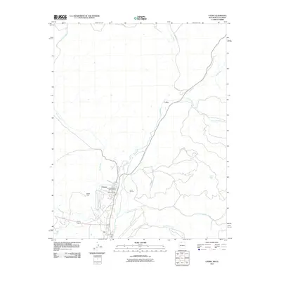 2010 Chama2010 Print · USGSCovers Archuleta County, including Chama, Lobato, and other nearby areas
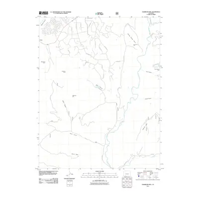
 - 2010 Map of Chromo Mountain, 2010 Print
 2010 Chromo Mountain2010 Print · USGSCovers Archuleta County, including Willow Creek, Rio Arriba County, and other nearby areas
 - 2010 Map of Bancos Mesa NW, 2010 Print
 2010 Bancos Mesa NW2010 Print · USGSCovers Archuleta County, including San Juan County, Rio Arriba County, and other nearby areas
 - 2010 Map of Allison, 2010 Print
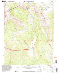
 2010 Allison2010 Print · USGSCovers Archuleta County, including Allison, Arboles, and other nearby areas
 - 2011 Map of Lonetree Canyon, 2011 Print
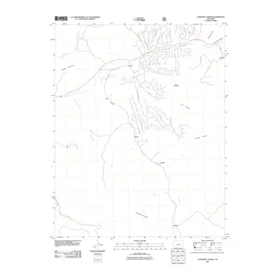 2011 Lonetree Canyon2011 Print · USGSCovers Archuleta County, including Dyke, Altura, and other nearby areas
 - 2011 Map of Bear Mountain, 2011 Print
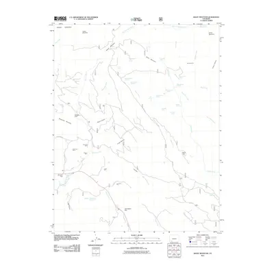
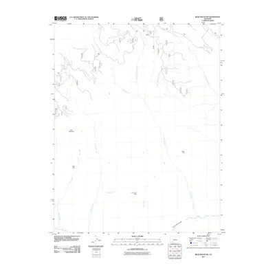 2011 Bear Mountain2011 Print · USGSCovers Archuleta County, including Hinsdale County, United States, and other nearby areas
 - 2011 Map of Devil Mountain, 2011 Print
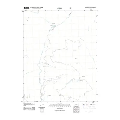 2011 Devil Mountain2011 Print · USGSCovers Archuleta County, including United States, Colorado, and other nearby areas
 - 2011 Map of Chimney Rock, 2011 Print
 2011 Chimney Rock2011 Print · USGSCovers Archuleta County, including Chimney Rock, Piedra, and other nearby areas
 - 2011 Map of Oakbrush Hill, 2011 Print
 2011 Oakbrush Hill2011 Print · USGSCovers Archuleta County, including Pagosa Springs, United States, and other nearby areas
 - 2011 Map of Baldy Mountain, 2011 Print
 2011 Baldy Mountain2011 Print · USGSCovers Archuleta County, including La Plata County, United States, and other nearby areas
 - 2011 Map of Oakbrush Ridge, 2011 Print
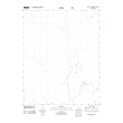
 2011 Oakbrush Ridge2011 Print · USGSCovers Archuleta County, including Mineral County, Hinsdale County, and other nearby areas
 - 2011 Map of Granite Peak, 2011 Print
 2011 Granite Peak2011 Print · USGSCovers Archuleta County, including La Plata County, Hinsdale County, and other nearby areas
 - 2011 Map of Summit Peak, 2011 Print
 2011 Summit Peak2011 Print · USGSCovers Archuleta County, including Conejos County, United States, and other nearby areas
 - 2011 Map of Archuleta Creek, 2011 Print
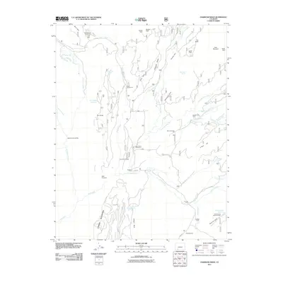
 2011 Archuleta Creek2011 Print · USGSCovers Archuleta County, including Conejos County, United States, and other nearby areas
 - 2011 Map of Wolf Creek Pass, 2011 Print
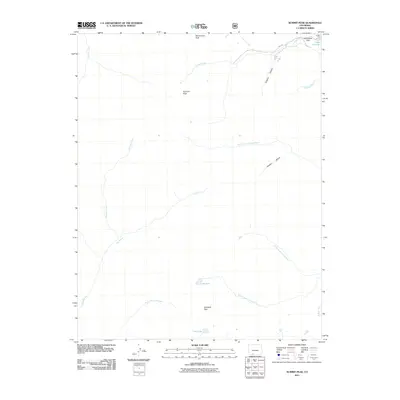
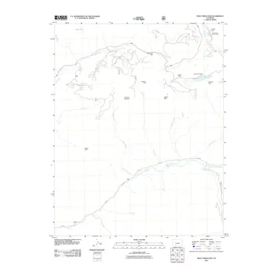 2011 Wolf Creek Pass2011 Print · USGSCovers Archuleta County, including Mineral County, United States, and other nearby areas
 - 2011 Map of Elwood Pass, 2011 Print
 2011 Elwood Pass2011 Print · USGSCovers Archuleta County, including Mineral County, Conejos County, and other nearby areas
 - 2011 Map of Victoria Lake, 2011 Print
 2011 Victoria Lake2011 Print · USGSCovers Archuleta County, including Conejos County, United States, and other nearby areas
 - 2011 Map of Harris Lake, 2011 Print
 2011 Harris Lake2011 Print · USGSCovers Archuleta County, including United States, Colorado, and other nearby areas
 - 2011 Map of West Fork Rio Brazos, 2011 Print
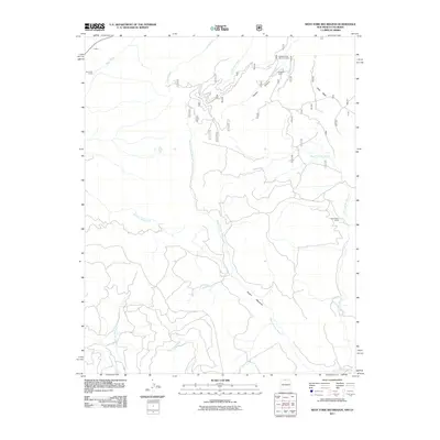 2011 West Fork Rio Brazos2011 Print · USGSCovers Archuleta County, including Rio Arriba County, Conejos County, and other nearby areas
 - 2011 Map of Serviceberry Mountain, 2011 Print
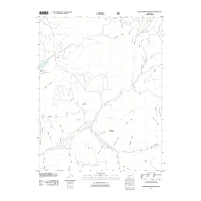 2011 Serviceberry Mountain2011 Print · USGSCovers Archuleta County, including United States, Colorado, and other nearby areas
Showing maps 1-25 of 190
Top cities of Archuleta County
Frequently asked questions
- What are the different types of historical maps available for Archuleta County?
- What is the oldest map of Archuleta County?
- Where can I purchase historical maps of Archuleta County for my home or office?
- Where can I download high-res historical maps of Archuleta County?
- Are there historical topographic maps available for Archuleta County?
- Is there historical aerial imagery available for Archuleta County?
- Where are historical maps of Archuleta County sourced from?