2010s Maps of Park County, Colorado
Explore 216 historic maps of Park County from the 2010s. These maps offer a rare glimpse into what life looked like during the 2010s — showing old roads, neighborhoods, homes, and landmarks that have changed or disappeared over time.
Whether you're researching your family's past, planning a metal detecting trip, or studying how Park County's landscape evolved across the 2010s, these high-resolution maps are a powerful tool for exploring the history of this region.
- Focus on a specific era: All maps on this page are from the 2010s, giving you a focused view of this time period.
- See what’s changed: Compare century-old streets, trails, and buildings to today's modern landscape using overlays and satellite layers.
- Research with precision: Use these maps for genealogy, historical research, land use analysis, or educational projects.
- View, download, or print: Maps are fully viewable online in high resolution, and can be downloaded or printed for your own records.
Start exploring Park County's history through authentic maps from the 2010s. This is your window into the past.
Park County, CO maps
(216)- 2010 Map of High Park, 2010 Print
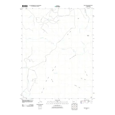 2010 High Park2010 Print · USGSFremont County's high country is captured here during a period of modern rural development and legacy mining. Researchers can trace historic extraction at the Albany Mine and Blue Nugget Mine or locate landmarks like Big Baldy and Booger Red Hill.
 - 2010 Map of Cover Mountain, 2010 Print
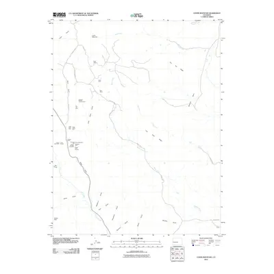 2010 Cover Mountain2010 Print · USGSFremont County's high ridges and mineral-rich gulches are shown here in the early twenty-first century. Researchers can trace family ranch boundaries like Stahl Ranch or locate specific mining sites such as the Climax Mica Mine and Star Girl Mine.
 - 2010 Map of Antero Reservoir NE, 2010 Print
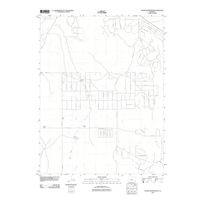 2010 Antero Reservoir NE2010 Print · USGSPark County at the dawn of the 2010s shows a fascinating transition from traditional ranching to modern land division. Researchers can trace historical family properties like Weber Ranch alongside the Pleasant Valley School and the O Y E Reservoir.
 - 2010 Map of Thirtyone Mile Mountain, 2010 Print
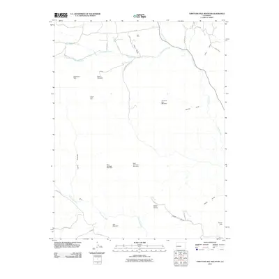 2010 Thirtyone Mile Mountain2010 Print · USGSFremont County's high-country terrain is captured here at the beginning of the twenty-first century, showcasing a landscape of isolated ranches and mineral claims. Researchers can locate remote operations like Betty Mine and Meyers Ranch Mine or trace the geography of Thirtyone Mile Mountain and Wall Mountain.
 - 2010 Map of Guffey NW, 2010 Print
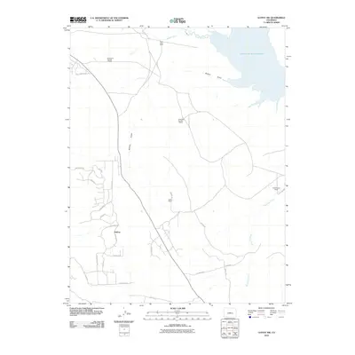 2010 Guffey NW2010 Print · USGSHigh-country ranching and mining history converge in Park County during this 2010 study. Genealogists and historians can trace family operations like Richardson Number 2 Ranch or locate the historic Balfour Mines near the shores of Spinney Mountain Reservoir.
 - 2010 Map of Elkhorn, 2010 Print
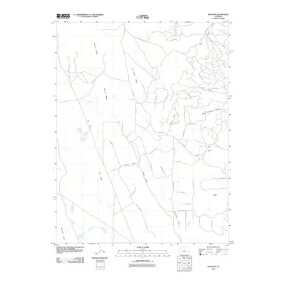 2010 Elkhorn2010 Print · USGSPark County high country is documented here in the early twenty-first century, showing a mix of ranching heritage and residential development. Researchers can trace the landscape from Elkhorn Ranch to the waters of Playa Lakes and Association Spring.
 - 2010 Map of Fairplay East, 2010 Print
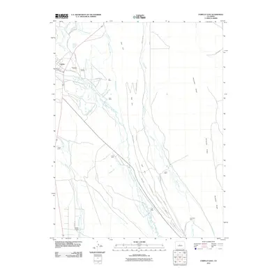 2010 Fairplay East2010 Print · USGSFairplay sits at the heart of this high-altitude cattle and water network in the early twenty-first century. Researchers can trace historic land holdings and burial sites at the Old Fairplay Cemetery or follow irrigation lines like the Anderson Ditch Number 1 to the Cargill Ranch.
 - 2010 Map of Hartsel, 2010 Print
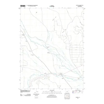 2010 Hartsel2010 Print · USGSThe convergence of the South Platte River forks in the South Park basin is documented here during the early twenty-first century. Genealogists and historians can trace family-named landholdings like Turner Ranch and Santa Maria Ranch or locate the Hartsel Cemetery.
 - 2011 Map of Dicks Peak, 2011 Print
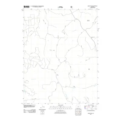 2011 Dicks Peak2011 Print · USGSHigh in the Colorado Rockies during the early twenty-first century, this landscape shows a network of ranching camps and rugged trails. Researchers can locate seasonal outposts like Fehlings Cow Camp and trace the paths of Agate Creek and Long Gulch.
 - 2011 Map of Cameron Mountain, 2011 Print
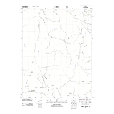 2011 Cameron Mountain2011 Print · USGSThe mining camps of Turret and Whitehorn appear here as they were in the early twenty-first century. Genealogists and historians can trace numerous mineral claims including the Gold Bug Mine, Free Town Lode Mine, and landmarks like the Midwest Quarry.
 - 2011 Map of Agate Mountain, 2011 Print
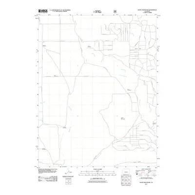 2011 Agate Mountain2011 Print · USGSPark County at the start of the decade reveals a landscape of high-country homesteads and named mountain trails. Genealogists and historians can trace family locations like Jacobs Homestead and Nedrow Homestead or explore the drainage of Agate Creek near Trump.
 - 2011 Map of Thirtynine Mile Mountain, 2011 Print
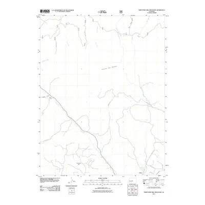 2011 Thirtynine Mile Mountain2011 Print · USGSPark County high country comes into focus in this 2011 survey of the land surrounding Guffey and the looming Thirtynine Mile Mountain. Genealogists and local historians can trace the creek-side locations of Wilson Ranch and the winding paths of Currant Creek and Freshwater Creek.
 - 2011 Map of Spinney Mountain, 2011 Print
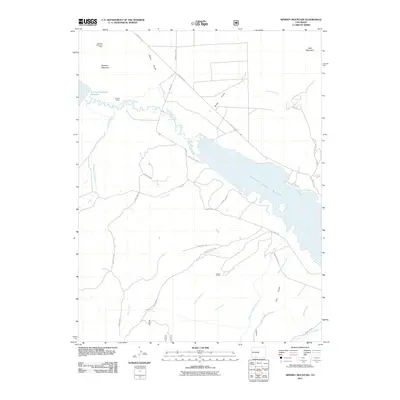 2011 Spinney Mountain2011 Print · USGSHigh mountain reservoirs and historic ranching lands define this Park County landscape in the early twenty-first century. Researchers can trace land use through the Hartsel Ranch and the Spinney Mountain Mine, or follow the winding South Platte River.
 - 2011 Map of Black Mountain, 2011 Print
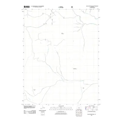 2011 Black Mountain2011 Print · USGSFremont County ranching and water management are documented here in the early twenty-first century. Researchers can locate established properties like VVN Ranch and Stirrup Ranch or trace the course of North Waugh Creek and Gribbles Run.
 - 2011 Map of Lake George, 2011 Print
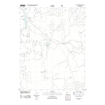 2011 Lake George2011 Print · USGSUpper Teller County during the early 2010s shows a landscape where ranching heritage meets modern conservation and recreation. Researchers can locate the Teller Pegmatite Mine, the Florissant Fossil Beds NM, and family sites like Bentleon Ranch.
 - 2011 Map of Antero Reservoir, 2011 Print
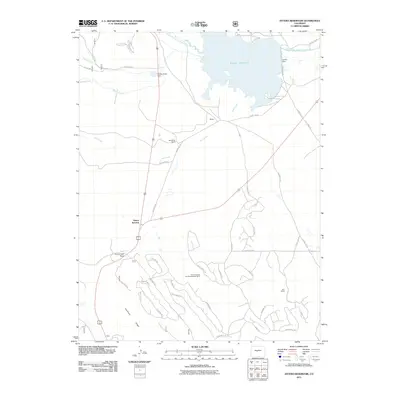 2011 Antero Reservoir2011 Print · USGSPark County ranching and water management define this area in the early 21st century. Researchers can trace historic land use and mining activity at the Salt Works Ranch and Carson Mining and Development Mine near Antero Junction.
 - 2011 Map of Elevenmile Canyon, 2011 Print
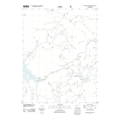 2011 Elevenmile Canyon2011 Print · USGSPark County high country during the early 2000s shows a landscape of deep canyons and historic high-altitude ranching. Genealogists and local historians can locate legacy properties like Abell Ranch or Hartsel Ranch, and find the isolated Rocky Cemetery.
 - 2011 Map of Meridian Hill, 2011 Print
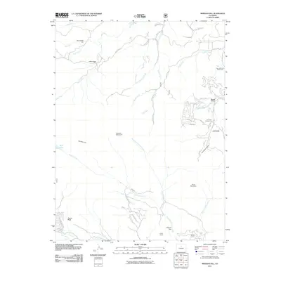 2011 Meridian Hill2011 Print · USGSThe foothills of the Front Range come into focus in this early 2000s study of the area surrounding Meridian Hill. Researchers can trace the layout of mountain settlements like Harris Park and Brook Forest alongside landmarks like Elk Falls Ranch.
 - 2011 Map of Glentivar, 2011 Print
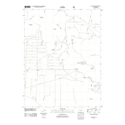 2011 Glentivar2011 Print · USGSPark County is documented here at a time when mining claims and high-altitude passes defined the landscape near Glentivar. Genealogists and historians can trace numerous legacy sites including the Meteor Mine, Great Western Mine, and the route through Wilkerson Pass.
 - 2011 Map of Shawnee, 2011 Print
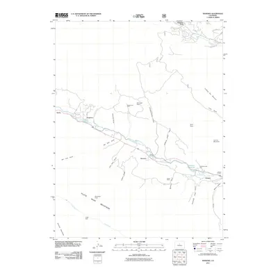 2011 Shawnee2011 Print · USGSPark County high country comes into focus in this recent study of the canyon settlements along the North Fork South Platte River. Genealogists and historians can locate the Shawnee Cemetery, trace the path of Old Stagecoach Rd, and identify the specific site of the Redskin Mines.
 - 2011 Map of Hackett Mountain, 2011 Print
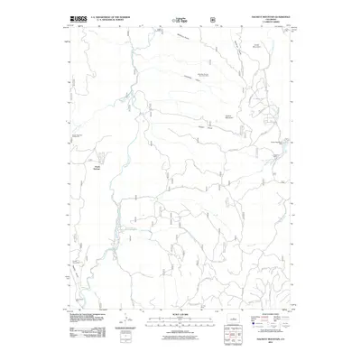 2011 Hackett Mountain2011 Print · USGSPark County at the start of the 2010s reveals a mountain landscape shaped by mining history and modern ranching. Researchers can locate specific sites like the Two Bit Claims Mine, Wildhorn Ranch, and the Lake George Mine.
 - 2011 Map of Observatory Rock, 2011 Print
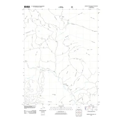 2011 Observatory Rock2011 Print · USGSBordenville and the Tarryall Creek valley are captured here in the early twenty-first century, showing a landscape defined by traditional ranching and mountain geography. Researchers can trace family-named sites like Bordenville Cemetery, Rock Creek Cow Camp, and Highfill Ranch.
 - 2011 Map of Como, 2011 Print
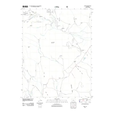 2011 Como2011 Print · USGSThe ranchlands and mining claims surrounding Como are captured here during a period of modern land management. Researchers can trace historic industrial sites like the Hawkeye Mining Company Mine, family-named spreads like Circle V Bar Ranch, and the Como Cemetery.
 - 2011 Map of Cheesman Lake, 2011 Print
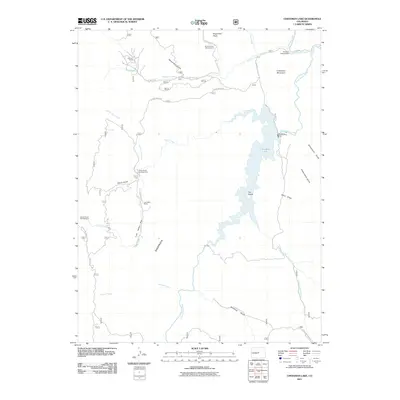 2011 Cheesman Lake2011 Print · USGSJefferson County's high-country terrain is captured here in the early twenty-first century, centered on the engineering of Cheesman Dam. Researchers can trace old mountain routes and private holdings like Flying G Ranch and Lost Valley Park.
 - 2011 Map of Tarryall, 2011 Print
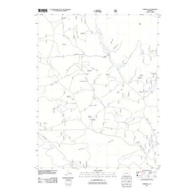 2011 Tarryall2011 Print · USGSIn the early twenty-first century, the Tarryall high country remained a center for both ranching and deep-earth prospecting. Genealogists and historians can trace family-named sites like Landis Ranch alongside notable mineral claims such as the Boomer Mine and the Saint Joe Tunnel.
Showing maps 1-25 of 216
Top cities of Park County
Frequently asked questions
- What are the different types of historical maps available for Park County?
- What is the oldest map of Park County?
- Where can I purchase historical maps of Park County for my home or office?
- Where can I download high-res historical maps of Park County?
- Are there historical topographic maps available for Park County?
- Is there historical aerial imagery available for Park County?
- Where are historical maps of Park County sourced from?