2020s Maps of Broward County, Florida
Explore 62 historic maps of Broward County from the 2020s. These maps offer a rare glimpse into what life looked like during the 2020s — showing old roads, neighborhoods, homes, and landmarks that have changed or disappeared over time.
Whether you're researching your family's past, planning a metal detecting trip, or studying how Broward County's landscape evolved across the 2020s, these high-resolution maps are a powerful tool for exploring the history of this region.
- Focus on a specific era: All maps on this page are from the 2020s, giving you a focused view of this time period.
- See what’s changed: Compare century-old streets, trails, and buildings to today's modern landscape using overlays and satellite layers.
- Research with precision: Use these maps for genealogy, historical research, land use analysis, or educational projects.
- View, download, or print: Maps are fully viewable online in high resolution, and can be downloaded or printed for your own records.
Start exploring Broward County's history through authentic maps from the 2020s. This is your window into the past.
Broward County, FL maps
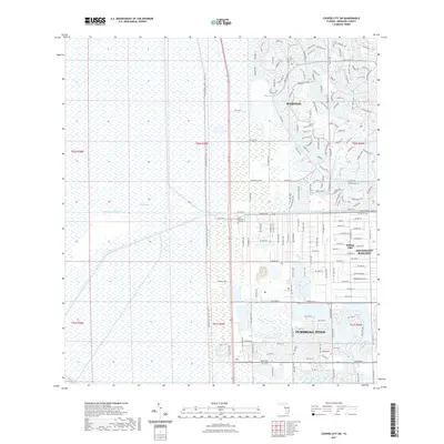
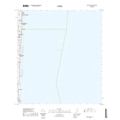
(62)- 2021 Map of Custard Apple Hammock, 2021 Print
 2021 Custard Apple Hammock2021 Print · USGSCovers Broward County, including Miami-Dade County, United States, and other nearby areas
 - 2021 Map of Pennsuco, 2021 Print
 2021 Pennsuco2021 Print · USGSCovers Broward County, including Medley, Pennsuco, and other nearby areas
 - 2021 Map of Cooper City SW, 2021 Print
 2021 Cooper City SW2021 Print · USGSCovers Broward County, including Weston, Southwest Ranches, and other nearby areas
 - 2021 Map of Horseshoe Head, 2021 Print
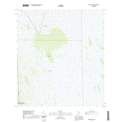 2021 Horseshoe Head2021 Print · USGSCovers Broward County, including Collier County, United States, and other nearby areas
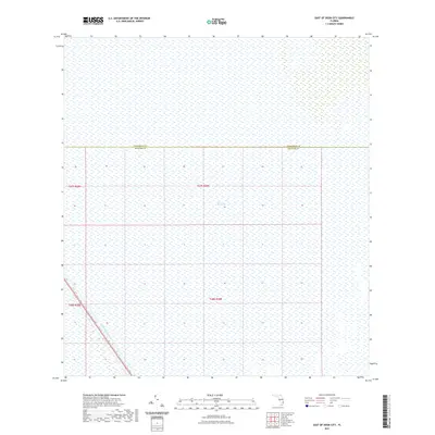
 - 2021 Map of South of Deem City, 2021 Print
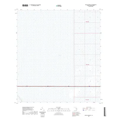 2021 South of Deem City2021 Print · USGSCovers Broward County, including United States, Florida, and other nearby areas
 - 2021 Map of West of Deem City, 2021 Print
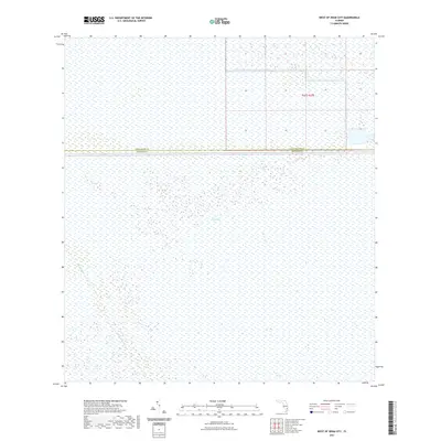 2021 West of Deem City2021 Print · USGSCovers Broward County, including Palm Beach County, United States, and other nearby areas
 - 2021 Map of West of Horseshoe Head, 2021 Print
 2021 West of Horseshoe Head2021 Print · USGSCovers Broward County, including Collier County, United States, and other nearby areas
 - 2021 Map of Gator Lake, 2021 Print
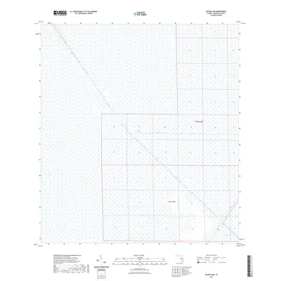 2021 Gator Lake2021 Print · USGSCovers Broward County, including United States, Florida, and other nearby areas
 - 2021 Map of North of Fortymile Bend, 2021 Print
 2021 North of Fortymile Bend2021 Print · USGSCovers Broward County, including Miami-Dade County, Collier County, and other nearby areas
 - 2021 Map of Goddens Strand, 2021 Print
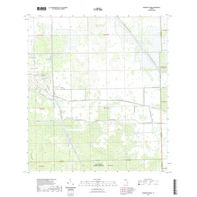 2021 Goddens Strand2021 Print · USGSCovers Broward County, including Palm Beach County, Collier County, and other nearby areas
 - 2021 Map of West of Pennsuco, 2021 Print
 2021 West of Pennsuco2021 Print · USGSCovers Broward County, including Miami-Dade County, United States, and other nearby areas
 - 2021 Map of Deem City, 2021 Print
 2021 Deem City2021 Print · USGSCovers Broward County, including Palm Beach County, United States, and other nearby areas
 - 2021 Map of Lone Palm Head, 2021 Print
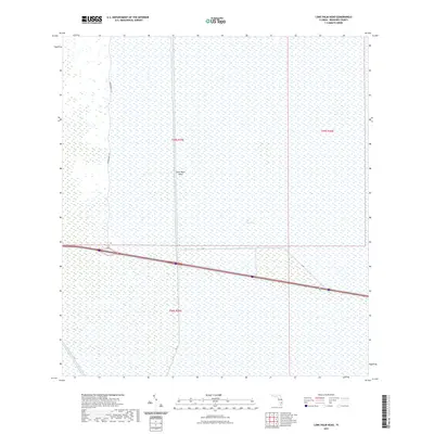 2021 Lone Palm Head2021 Print · USGSCovers Broward County, including United States, Florida, and other nearby areas
 - 2021 Map of Coral Springs NE, 2021 Print
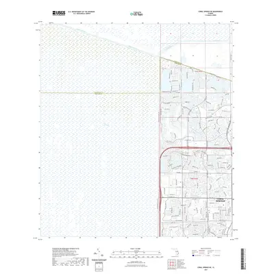 2021 Coral Springs NE2021 Print · USGSCovers Broward County, including Coral Springs, Westview Village, and other nearby areas
 - 2021 Map of California Slough, 2021 Print
 2021 California Slough2021 Print · USGSCovers Broward County, including Collier County, United States, and other nearby areas
 - 2021 Map of Melaleuca Head, 2021 Print
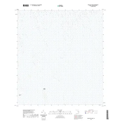 2021 Melaleuca Head2021 Print · USGSCovers Broward County, including Jessie Willies, United States, and other nearby areas
 - 2021 Map of East of Lone Palm Head, 2021 Print
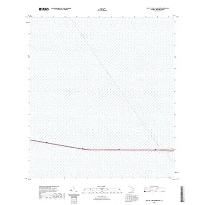 2021 East of Lone Palm Head2021 Print · USGSCovers Broward County, including United States, Florida, and other nearby areas
 - 2021 Map of Port Everglades, 2021 Print
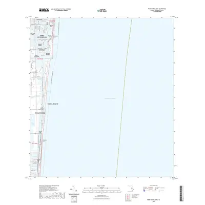 2021 Port Everglades2021 Print · USGSCovers Broward County, including Fort Lauderdale, Harbor Heights, and other nearby areas
 - 2021 Map of East of Deem City, 2021 Print
 2021 East of Deem City2021 Print · USGSCovers Broward County, including Palm Beach County, United States, and other nearby areas
 - 2021 Map of North of Lone Palm Head, 2021 Print
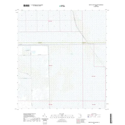 2021 North of Lone Palm Head2021 Print · USGSCovers Broward County, including Palm Beach County, United States, and other nearby areas
 - 2021 Map of Andytown, 2021 Print
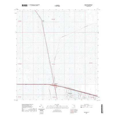 2021 Andytown2021 Print · USGSCovers Broward County, including Andytown, United States, and other nearby areas
 - 2021 Map of Opa-locka, 2021 Print
 2021 Opa-locka2021 Print · USGSCovers Broward County, including Miami Lakes, Opa-locka, and other nearby areas
 - 2021 Map of North Miami OE E, 2021 Print
 2021 North Miami OE E2021 Print · USGSCovers Broward County, including Sunny Isles Beach, Surfside, and other nearby areas
 - 2021 Map of North Miami, 2021 Print
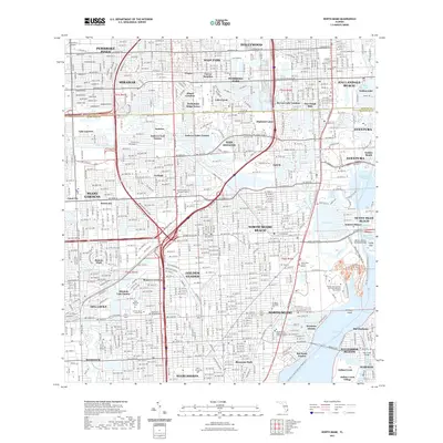 2021 North Miami2021 Print · USGSCovers Broward County, including Miramar, Miami Gardens, and other nearby areas
 - 2021 Map of Pompano Beach, 2021 Print
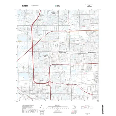
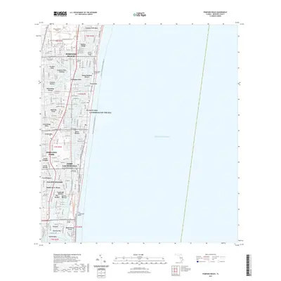 2021 Pompano Beach2021 Print · USGSCovers Broward County, including Fort Lauderdale, Pompano Beach, and other nearby areas
Showing maps 1-25 of 62
Top cities of Broward County
- Fort Lauderdale historical maps
- Pembroke Pines historical maps
- Hollywood historical maps
- Coral Springs historical maps
- Miramar historical maps
- Pompano Beach historical maps
See more
Frequently asked questions
- What are the different types of historical maps available for Broward County?
- What is the oldest map of Broward County?
- Where can I purchase historical maps of Broward County for my home or office?
- Where can I download high-res historical maps of Broward County?
- Are there historical topographic maps available for Broward County?
- Is there historical aerial imagery available for Broward County?
- Where are historical maps of Broward County sourced from?