2000s (21st Century) Maps of Charlotte County, Florida
Explore 114 historic maps of Charlotte County from the 2000s (21st Century). These maps offer a rare glimpse into what life looked like during the 2000s — showing old roads, neighborhoods, homes, and landmarks that have changed or disappeared over time.
Whether you're researching your family's past, planning a metal detecting trip, or studying how Charlotte County's landscape evolved across the 2000s, these high-resolution maps are a powerful tool for exploring the history of this region.
- Focus on a specific era: All maps on this page are from the 2000s, giving you a focused view of this time period.
- See what’s changed: Compare century-old streets, trails, and buildings to today's modern landscape using overlays and satellite layers.
- Research with precision: Use these maps for genealogy, historical research, land use analysis, or educational projects.
- View, download, or print: Maps are fully viewable online in high resolution, and can be downloaded or printed for your own records.
Start exploring Charlotte County's history through authentic maps from the 2000s. This is your window into the past.
Charlotte County, FL maps
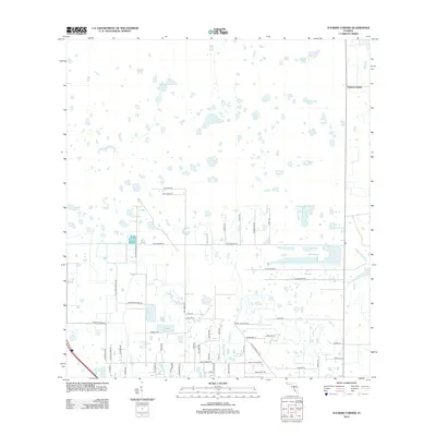
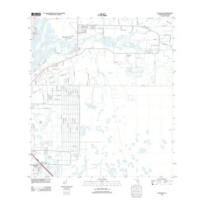
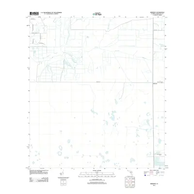
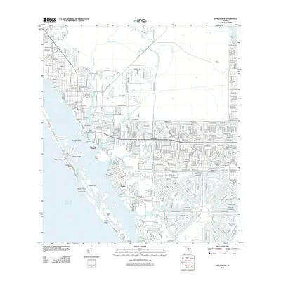
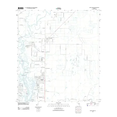
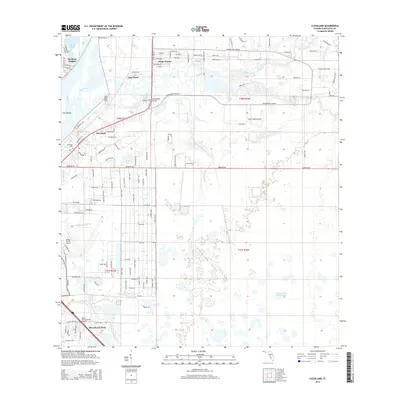
(114)- 2012 Map of Placida, 2012 Print
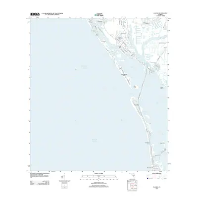 2012 Placida2012 Print · USGSCovers Charlotte County, including Rotonda-West, Cape Haze, and other nearby areas
 - 2012 Map of Punta Gorda SW, 2012 Print
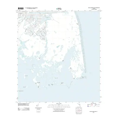 2012 Punta Gorda SW2012 Print · USGSCovers Charlotte County, including Cayo Pelau, Lee County, and other nearby areas
 - 2012 Map of Gilchrist, 2012 Print
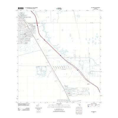 2012 Gilchrist2012 Print · USGSCovers Charlotte County, including Cape Coral, Gilchrist, and other nearby areas
 - 2012 Map of Telegraph Swamp NW, 2012 Print
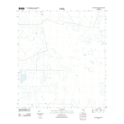
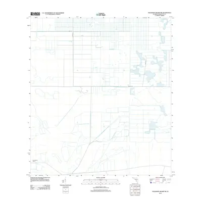 2012 Telegraph Swamp NW2012 Print · USGSCovers Charlotte County, including United States, Florida, and other nearby areas
 - 2012 Map of Tuckers Corner, 2012 Print
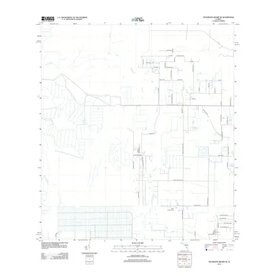
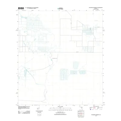
 2012 Tuckers Corner2012 Print · USGSCovers Charlotte County, including Babcock Ranch, Tuckers Corner, and other nearby areas
 - 2012 Map of Telegraph Swamp SE, 2012 Print
 2012 Telegraph Swamp SE2012 Print · USGSCovers Charlotte County, including Alva, Lee County, and other nearby areas
 - 2012 Map of Telegraph Swamp NE, 2012 Print
 2012 Telegraph Swamp NE2012 Print · USGSCovers Charlotte County, including Glades County, United States, and other nearby areas
 - 2012 Map of Cleveland, 2012 Print
 2012 Cleveland2012 Print · USGSCovers Charlotte County, including Cleveland, Blue Heron Pines, and other nearby areas
 - 2012 Map of Bermont, 2012 Print
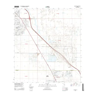
 2012 Bermont2012 Print · USGSCovers Charlotte County, including Bermont, United States, and other nearby areas
 - 2012 Map of El Jobean, 2012 Print
 2012 El Jobean2012 Print · USGSCovers Charlotte County, including El Jobean, United States, and other nearby areas
 - 2012 Map of Punta Gorda, 2012 Print
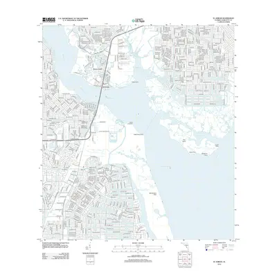
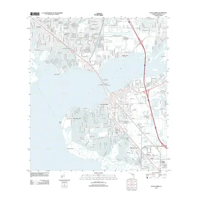 2012 Punta Gorda2012 Print · USGSCovers Charlotte County, including Port Charlotte, Punta Gorda, and other nearby areas
 - 2012 Map of Punta Gorda SE, 2012 Print
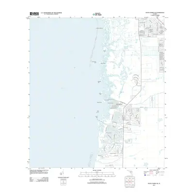 2012 Punta Gorda SE2012 Print · USGSCovers Charlotte County, including Cape Coral, Punta Gorda, and other nearby areas
 - 2012 Map of Englewood, 2012 Print
 2012 Englewood2012 Print · USGSCovers Charlotte County, including North Port, Englewood, and other nearby areas
 - 2012 Map of Englewood NW, 2012 Print
 2012 Englewood NW2012 Print · USGSCovers Charlotte County, including Sarasota County, United States, and other nearby areas
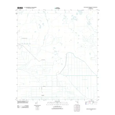
 - 2012 Map of Long Island Marsh SE, 2012 Print
 2012 Long Island Marsh SE2012 Print · USGSCovers Charlotte County, including Highlands County, DeSoto County, and other nearby areas
 - 2012 Map of Murdock SE, 2012 Print
 2012 Murdock SE2012 Print · USGSCovers Charlotte County, including North Port, Heritage Lake Park Community Development District, and other nearby areas
 - 2012 Map of Long Island Marsh SW, 2012 Print
 2012 Long Island Marsh SW2012 Print · USGSCovers Charlotte County, including Sparkman, DeSoto County, and other nearby areas
 - 2012 Map of Myakka River, 2012 Print
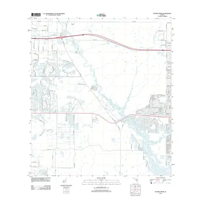 2012 Myakka River2012 Print · USGSCovers Charlotte County, including North Port, Venice, and other nearby areas
 - 2012 Map of Arcadia SE, 2012 Print
 2012 Arcadia SE2012 Print · USGSCovers Charlotte County, including DeSoto County, United States, and other nearby areas
 - 2012 Map of Fort Ogden, 2012 Print
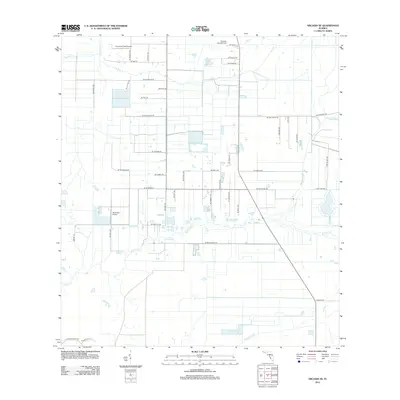
 2012 Fort Ogden2012 Print · USGSCovers Charlotte County, including Morgantown, Hull, and other nearby areas
 - 2012 Map of Murdock, 2012 Print
 2012 Murdock2012 Print · USGSCovers Charlotte County, including North Port, Sarasota County, and other nearby areas
 - 2012 Map of Telegraph Swamp, 2012 Print
 2012 Telegraph Swamp2012 Print · USGSCovers Charlotte County, including Babcock Ranch, Lee County, and other nearby areas
 - 2015 Map of Cleveland, 2015 Print
 2015 Cleveland2015 Print · USGSCovers Charlotte County, including Cleveland, Blue Heron Pines, and other nearby areas
 - 2015 Map of Gilchrist, 2015 Print
 2015 Gilchrist2015 Print · USGSCovers Charlotte County, including Cape Coral, Gilchrist, and other nearby areas
 - 2015 Map of Telegraph Swamp NW, 2015 Print
 2015 Telegraph Swamp NW2015 Print · USGSCovers Charlotte County, including United States, Florida, and other nearby areas
Showing maps 1-25 of 114
Top cities of Charlotte County
- Port Charlotte historical maps
- Punta Gorda historical maps
- Rotonda historical maps
- Charlotte Harbor historical maps
- Cleveland historical maps
- Charlotte Park historical maps
See more
Frequently asked questions
- What are the different types of historical maps available for Charlotte County?
- What is the oldest map of Charlotte County?
- Where can I purchase historical maps of Charlotte County for my home or office?
- Where can I download high-res historical maps of Charlotte County?
- Are there historical topographic maps available for Charlotte County?
- Is there historical aerial imagery available for Charlotte County?
- Where are historical maps of Charlotte County sourced from?