
Historical Maps of Chickasaw County, Iowa
What stories do these 29 old maps tell about Chickasaw County's past? From 1954 to present day, these maps reveal the evolution of streets, neighborhoods, iconic landmarks, and natural features in stunning high-res detail. Whether you're a history enthusiast, genealogist, or professional in education, environmental work, or architecture, these maps are perfect for exploration, research, and discovery.
Discover Chickasaw County's history through maps:
- Trace Chickasaw County's growth: Explore earlier and latest maps and editions to uncover how the region changed over time.
- Examine technical details: Each map includes its creators, publishers, scale, dimensions, and full source information.
- Layer maps with modern tools & imagery: Compare historical maps to modern-day with high-resolution satellite imagery and detailed LiDAR layers.
- Sourced from trusted archives: Carefully preserved and digitized by institutions like the United Stated Geological Survey and the US Library of Congress.
- Access in any format: View and explore in high resolution, download for offline use, or order a museum-quality print for yourself or a loved one.
Begin your journey into Chickasaw County's history with these remarkable must-see maps.
Chickasaw County, IA maps
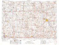
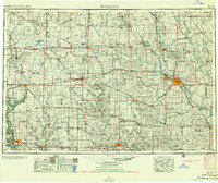
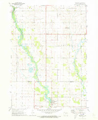
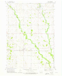
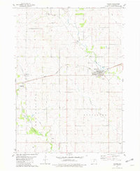
(29)- 1954 Map of Mason City, 1967 Print
 1954 Mason City1967 Print · USGSCovers Chickasaw County, including Rochester, Mason City, and other nearby areas
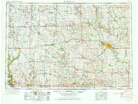
 - 1954 Map of Waterloo, 1968 Print
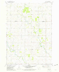
 1954 Waterloo1968 Print · USGSCovers Chickasaw County, including Waterloo, Ames, and other nearby areas
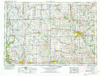
 - 1954 Map of Waterloo, 1968 Print
 1954 Waterloo1968 Print · USGSCovers Chickasaw County, including Waterloo, Ames, and other nearby areas
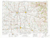
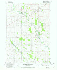
 - 1954 Map of Waterloo, 1973 Print
 1954 Waterloo1973 Print · USGSCovers Chickasaw County, including Waterloo, Ames, and other nearby areas
 - 1954 Map of Waterloo, 1978 Print
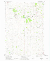
 1954 Waterloo1978 Print · USGSCovers Chickasaw County, including Waterloo, Ames, and other nearby areas
 - 1954 Map of Mason City, 1978 Print
 1954 Mason City1978 Print · USGSCovers Chickasaw County, including Rochester, Mason City, and other nearby areas
 - 1955 Map of Waterloo
 1955 Waterloo1955 Print · USGSCovers Chickasaw County, including Waterloo, Ames, and other nearby areas
 - 1955 Map of Waterloo
 1955 Waterloo1955 Print · USGSCovers Chickasaw County, including Waterloo, Ames, and other nearby areas
 - 1957 Map of Mason City
 1957 Mason City1957 Print · USGSCovers Chickasaw County, including Rochester, Mason City, and other nearby areas
 - 1958 Map of Mason City
 1958 Mason City1958 Print · USGSCovers Chickasaw County, including Rochester, Mason City, and other nearby areas
 - 1971 Map of Alpha, 1973 Print
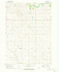 1971 Alpha1973 Print · USGSCovers Chickasaw County, including Richfield, Alpha, and other nearby areas
 - 1971 Map of Tripoli NW, 1973 Print
 1971 Tripoli NW1973 Print · USGSCovers Chickasaw County, including Republic, Bremer County, and other nearby areas
 - 1971 Map of Fredericksburg, 1973 Print
 1971 Fredericksburg1973 Print · USGSCovers Chickasaw County, including Fredericksburg, Bremer County, and other nearby areas
 - 1971 Map of Frederika, 1973 Print
 1971 Frederika1973 Print · USGSCovers Chickasaw County, including Frederika, Dresden, and other nearby areas
 - 1971 Map of Bassett, 1973 Print
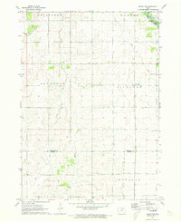
 1971 Bassett1973 Print · USGSCovers Chickasaw County, including Bassett, Midway, and other nearby areas
 - 1971 Map of Colwell, 1973 Print
 1971 Colwell1973 Print · USGSCovers Chickasaw County, including Colwell, Nilesville, and other nearby areas
 - 1971 Map of Nashua, 1973 Print
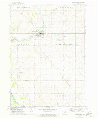
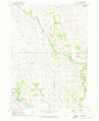
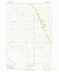
 1971 Nashua1973 Print · USGSCovers Chickasaw County, including Nashua, Bradford, and other nearby areas
 - 1972 Map of Ionia, 1976 Print
 1972 Ionia1976 Print · USGSCovers Chickasaw County, including Ionia, North Washington, and other nearby areas
 - 1972 Map of Elma, 1976 Print
 1972 Elma1976 Print · USGSCovers Chickasaw County, including Elma, Alta Vista, and other nearby areas
 - 1972 Map of Jerico, 1976 Print
 1972 Jerico1976 Print · USGSCovers Chickasaw County, including Jerico, Howard County, and other nearby areas
 - 1972 Map of New Hampton, 1976 Print
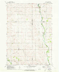
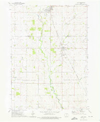
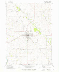 1972 New Hampton1976 Print · USGSCovers Chickasaw County, including New Hampton, Boyd, and other nearby areas
 - 1981 Map of Lawler, 1982 Print
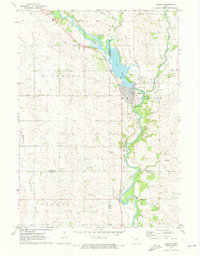
 1981 Lawler1982 Print · USGSCovers Chickasaw County, including Lawler, Nansen, and other nearby areas
 - 1981 Map of Saude, 1982 Print
 1981 Saude1982 Print · USGSCovers Chickasaw County, including Reilly Settlement, Saude, and other nearby areas
 - 1981 Map of Waucoma, 1982 Print
 1981 Waucoma1982 Print · USGSCovers Chickasaw County, including Waucoma, Jackson Junction, and other nearby areas
 - 1981 Map of Protivin, 1982 Print
 1981 Protivin1982 Print · USGSCovers Chickasaw County, including Protivin, Little Turkey, and other nearby areas
Showing maps 1-25 of 29
Top cities in Chickasaw County
- New Hampton historical maps
- Nashua historical maps
- Fredericksburg historical maps
- Lawler historical maps
- Alta Vista historical maps
- Ionia historical maps
See more
Frequently asked questions
- What are the different types of historical maps available for Chickasaw County?
- What is the oldest map of Chickasaw County?
- Where can I purchase historical maps of Chickasaw County for my home or office?
- Where can I download high-res historical maps of Chickasaw County?
- Are there historical topographic maps available for Chickasaw County?
- Is there historical aerial imagery available for Chickasaw County?
- Where are historical maps of Chickasaw County sourced from?