2020s Maps of Clark County, Idaho
Explore 98 historic maps of Clark County from the 2020s. These maps offer a rare glimpse into what life looked like during the 2020s — showing old roads, neighborhoods, homes, and landmarks that have changed or disappeared over time.
Whether you're researching your family's past, planning a metal detecting trip, or studying how Clark County's landscape evolved across the 2020s, these high-resolution maps are a powerful tool for exploring the history of this region.
- Focus on a specific era: All maps on this page are from the 2020s, giving you a focused view of this time period.
- See what’s changed: Compare century-old streets, trails, and buildings to today's modern landscape using overlays and satellite layers.
- Research with precision: Use these maps for genealogy, historical research, land use analysis, or educational projects.
- View, download, or print: Maps are fully viewable online in high resolution, and can be downloaded or printed for your own records.
Start exploring Clark County's history through authentic maps from the 2020s. This is your window into the past.
Clark County, ID maps
(98)- 2020 Map of Antelope Valley, 2020 Print
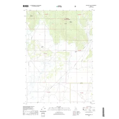 2020 Antelope Valley2020 Print · USGSThe high peaks of the Centennial Mountains meet the grazing lands of the Antelope Valley in this recent survey. Local researchers can trace old ranching corridors along Kilgore-Yale Rd and the drainage of Moose Cr.
 - 2020 Map of Idmon, 2020 Print
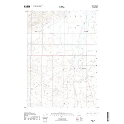 2020 Idmon2020 Print · USGSIdmon and the high meadows of Clark County are captured here in a period of modern ranching and volcanic geology. Genealogists and local historians can locate the Kilgore Cem, trace the settlement at Eighteenmile, and follow the path of Camas Cr.
 - 2020 Map of Snowshoe Butte, 2020 Print
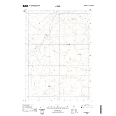 2020 Snowshoe Butte2020 Print · USGSFremont County's high ridges and creek drainages are documented here in the early twenty-first century. Researchers can trace the path of Camas Cr and locate high-elevation landmarks like Snowshoe Butte and Chicken Ridge.
 - 2020 Map of Split Rock, 2020 Print
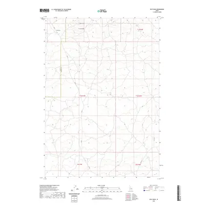 2020 Split Rock2020 Print · USGSThe high volcanic plains along the Clark and Fremont County line are captured here in the modern era. Map collectors and researchers can trace the routes of Red Rd and Ice Cave Rd as they navigate past landmarks like Split Rock.
 - 2020 Map of Pine Butte, 2020 Print
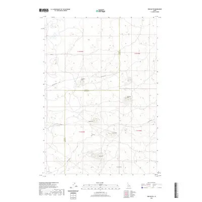 2020 Pine Butte2020 Print · USGSIn this 2020 map of the Idaho high desert, volcanic landforms define the boundary between Clark and Fremont counties. Researchers can trace the path of the long Stock Driveway and identify named family landmarks like Twitchells Knoll and Freize Knoll.
 - 2020 Map of Tyler Peak, 2020 Print
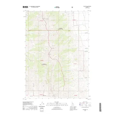 2020 Tyler Peak2020 Print · USGSThe Lemhi Range and the high-elevation divide between the Challis and Targhee National Forests are the focus of this contemporary topographic survey. Hikers and explorers can trace backcountry routes like the Middle Canyon Trail and locate remote landmarks such as Tyler Peak and Saddle Mtn.
 - 2020 Map of Richard Butte, 2020 Print
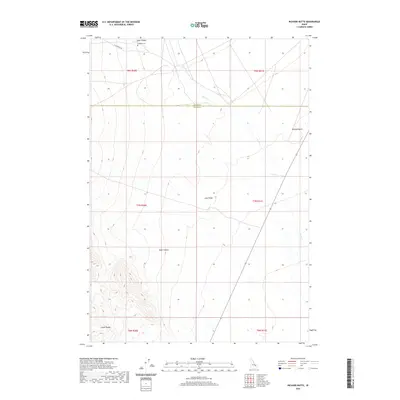 2020 Richard Butte2020 Print · USGSButte County at the foot of the Lemhi Range is captured here in the early twenty-first century, showing a landscape of deep canyons and volcanic ridges. Researchers can locate Goddard Cem near Tyler Canyon and trace the seasonal path of Birch Cr.
 - 2020 Map of Circular Butte NW, 2020 Print
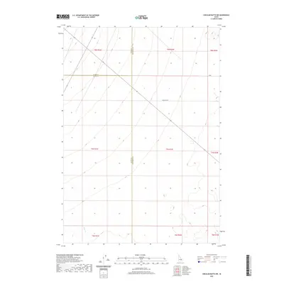 2020 Circular Butte NW2020 Print · USGSJefferson County's high-desert frontier is documented here in the early twenty-first century as it spans three county lines. Researchers can trace the path of Wadsworth Rd and the drainage of Birch Cr across the transition from Butte to Clark County.
 - 2020 Map of Spencer South, 2020 Print
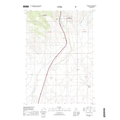 2020 Spencer South2020 Print · USGSThe high-desert and forest landscapes of Clark County come into focus during this 2020 survey of the Idaho high country. Researchers can trace the historic route of Old Hwy 91 past Spencer or locate geologic landmarks like The Crater and China Point.
 - 2020 Map of Dubois NE, 2020 Print
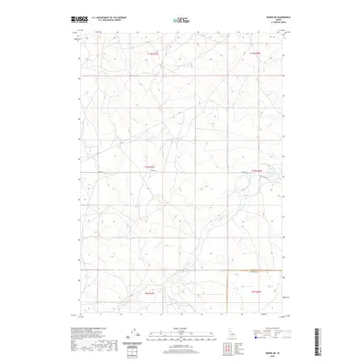 2020 Dubois NE2020 Print · USGSFremont and Clark Counties are captured here in the contemporary era, showcasing a high-desert landscape defined by the Public Land Survey System. Researchers can trace the path of Camas Cr and locate remote routes like Jacoby Rd and Gravy Ridge Rd.
 - 2020 Map of Rocky Creek, 2020 Print
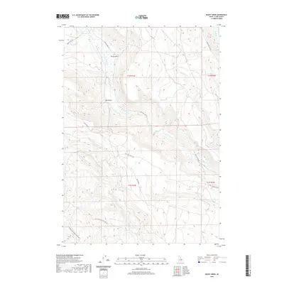 2020 Rocky Creek2020 Print · USGSClark County, Idaho, is documented here in the early twenty-first century as a landscape of remote drainages and mountain access roads. Researchers can trace the winding course of Medicine Lodge Cr and locate high-country landmarks like Spring Hollow and Lake Hollow.
 - 2020 Map of Lookout Point, 2020 Print
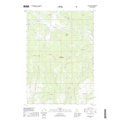 2020 Lookout Point2020 Print · USGSTarghee National Forest and the high peaks of the Centennial Mountains are detailed in this 2020 study of Clark County. Researchers can trace forest access routes like Alex Draw Road to landmarks such as Lookout Point, Signal Peak, and Opal Mountain.
 - 2020 Map of Lone Butte, 2020 Print
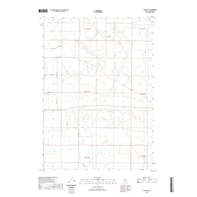 2020 Lone Butte2020 Print · USGSIn this contemporary look at Clark County, the high desert landscape remains defined by its watercourses and isolated geological features. Researchers can trace the ranching footprint through community landmarks like Small School Rd, Lone Butte, and Katie's Cutoff.
 - 2020 Map of Dubois SE, 2020 Print
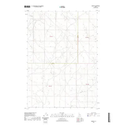 2020 Dubois SE2020 Print · USGSFremont and Clark counties meet in this corner of eastern Idaho during the late twenty-teens, showing a quiet landscape defined by its high desert topography. Researchers can trace the path of Camas Cr and the limited road network including Laird Rock Rd and Davis Lake Rd.
 - 2020 Map of Cedar Butte, 2020 Print
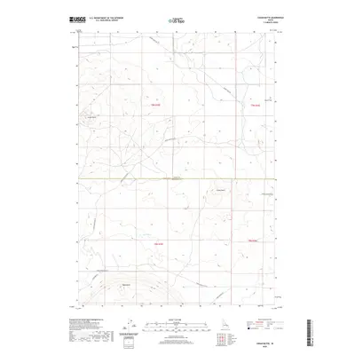 2020 Cedar Butte2020 Print · USGSThe high desert of the Snake River Plain near the Jefferson County border is captured here in recent years. Researchers can trace the volcanic geography of Cedar Butte and Camas Butte or follow historic routes like Dutch Flat and Snake River Plain Rd.
 - 2020 Map of Dubois, 2020 Print
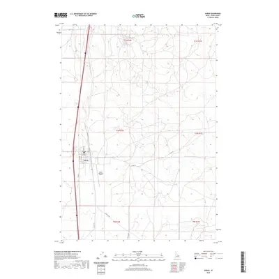 2020 Dubois2020 Print · USGSDubois and the surrounding high desert are documented here during the early twenty-first century, showing the town as the administrative heart of Clark County. Researchers can trace the civic center at the Clark County Courthouse and the layout of the Dubois Municipal Airport near the course of Beaver Cr.
 - 2020 Map of Small, 2020 Print
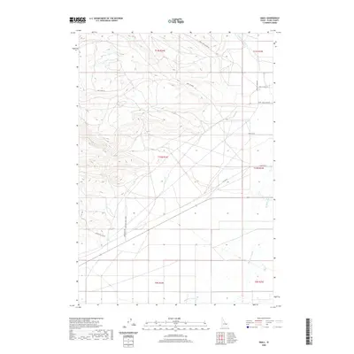 2020 Small2020 Print · USGSClark County ranching country is documented here during the early twenty-first century, centered on the community of Small. Genealogists and local historians can trace the foundations of this high-desert settlement via Small School Ln, Small Ranch Rd, and the course of Medicine Lodge Cr.
 - 2020 Map of Lidy Hot Springs, 2020 Print
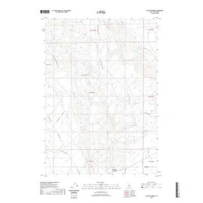 2020 Lidy Hot Springs2020 Print · USGSClark County, Idaho, is documented here in the early twenty-first century as a landscape defined by its thermal waters and historical transit routes. Researchers can trace the path of the Emigrant Trail Rd and locate landmarks like Lidy Hot Springs and the settlement of Winsper.
 - 2020 Map of Lidy Hot Springs SE, 2020 Print
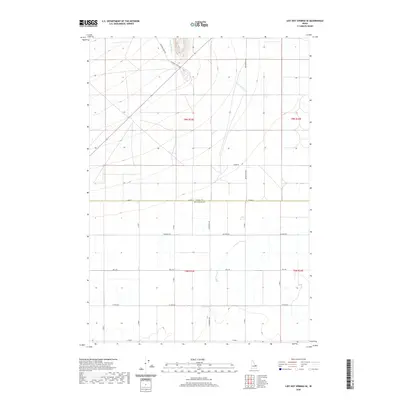 2020 Lidy Hot Springs SE2020 Print · USGSEastern Idaho's rural landscape at the turn of the decade reveals a clear divide between historic paths and modern agriculture. Trace the course of Emigrant Trail Rd and the drainage of Warm Springs Cr alongside local thoroughfares like Schwendig Rd.
 - 2020 Map of Paul Reservoir, 2020 Print
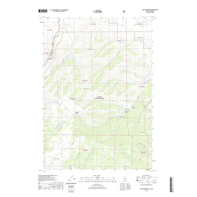 2020 Paul Reservoir2020 Print · USGSHigh in the Beaverhead Mountains during the early twenty-first century, the Continental Divide marks the boundary between Montana and Idaho. Researchers can trace the path of the Continental Divide National Scenic Trail past remote landmarks like Paul Reservoir and Lone Pine Spring.
 - 2020 Map of Camas, 2020 Print
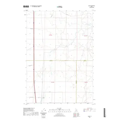 2020 Camas2020 Print · USGSCamas and the surrounding high desert terrain are captured in this modern survey, reflecting the region's deep agricultural roots. Researchers can trace historic transit corridors like Old Hwy 91 and water features such as Beaver Cr and Camas Cr.
 - 2020 Map of Gardner Lake, 2020 Print
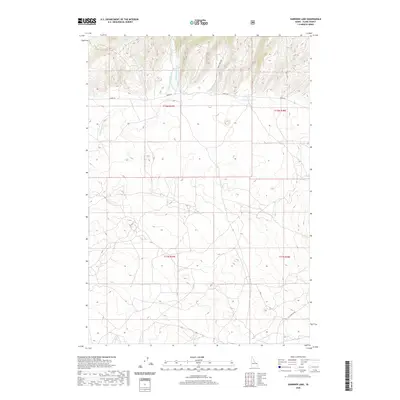 2020 Gardner Lake2020 Print · USGSClark County's high-country drainages are captured here in the years following the turn of the twenty-first century. Researchers can trace the headwaters of Rattlesnake Cr and locate seasonal access routes like Idmon Rd near the shores of Gardner Lake.
 - 2020 Map of Copper Mountain, 2020 Print
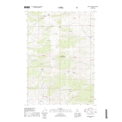 2020 Copper Mountain2020 Print · USGSThe high mountain reaches of Clark and Lemhi counties are documented here in 2020. Local history researchers can trace the roads near Skull Mine or locate landmarks like Copper Mountain, Gallagher Peak, and Kitty Spring.
 - 2020 Map of Cedar Butte SW, 2020 Print
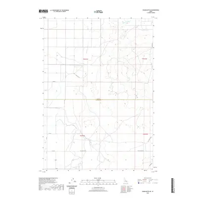 2020 Cedar Butte SW2020 Print · USGSThe high Snake River Plain in Jefferson County comes into focus in this recent survey of its ranching and farm lands. Researchers can trace the reach of Medicine Lodge Cr and find old family-named routes like Attkins Rd and Sauer Rd.
 - 2020 Map of Spencer North, 2020 Print
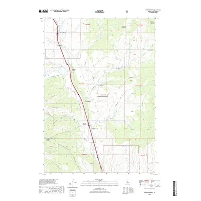 2020 Spencer North2020 Print · USGSIn the high country of Clark County during the early twenty-first century, the mountain corridor remains a vital transit route. Genealogists and researchers can trace the vicinity of Spencer, Old Beaver, and Humphrey along the banks of Beaver Cr.
Showing maps 1-25 of 98
Top cities of Clark County
Frequently asked questions
- What are the different types of historical maps available for Clark County?
- What is the oldest map of Clark County?
- Where can I purchase historical maps of Clark County for my home or office?
- Where can I download high-res historical maps of Clark County?
- Are there historical topographic maps available for Clark County?
- Is there historical aerial imagery available for Clark County?
- Where are historical maps of Clark County sourced from?