2010s Maps of Power County, Idaho
Explore 114 historic maps of Power County from the 2010s. These maps offer a rare glimpse into what life looked like during the 2010s — showing old roads, neighborhoods, homes, and landmarks that have changed or disappeared over time.
Whether you're researching your family's past, planning a metal detecting trip, or studying how Power County's landscape evolved across the 2010s, these high-resolution maps are a powerful tool for exploring the history of this region.
- Focus on a specific era: All maps on this page are from the 2010s, giving you a focused view of this time period.
- See what’s changed: Compare century-old streets, trails, and buildings to today's modern landscape using overlays and satellite layers.
- Research with precision: Use these maps for genealogy, historical research, land use analysis, or educational projects.
- View, download, or print: Maps are fully viewable online in high resolution, and can be downloaded or printed for your own records.
Start exploring Power County's history through authentic maps from the 2010s. This is your window into the past.
Power County, ID maps
(114)- 2010 Map of Gifford Spring, 2010 Print
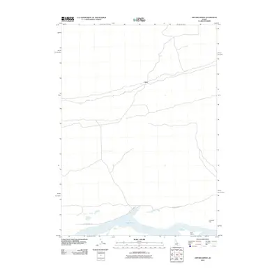 2010 Gifford Spring2010 Print · USGSIn this corner of Idaho during the early twenty-first century, the Snake River’s wide reach at Lake Walcott meets the high desert. Researchers can trace the sparse network of routes like Wapi Rd and locate landmarks such as Bonanza Bar and Wapi.
 - 2010 Map of Badger Peak, 2010 Print
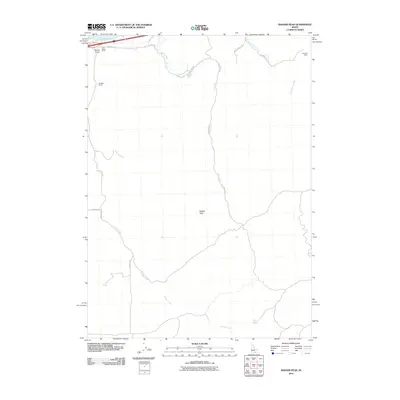 2010 Badger Peak2010 Print · USGSHigh-desert ranching and the shores of Lake Walcott define this Cassia County landscape in the early twenty-first century. Researchers can trace land use through family-named sites like Barkdull Ranch or follow the waters of Fall Creek and Calder Creek.
 - 2010 Map of Mosby Well, 2010 Print
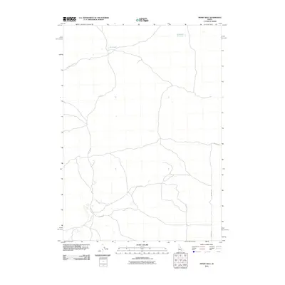 2010 Mosby Well2010 Print · USGSBingham County, Idaho, is documented here in the early twenty-first century as a land of volcanic features and isolated water sources. Researchers can map the rural routes of the Snake River Plain, from Bear Trap Lava Tube Rd to the shores of Rock Lake.
 - 2010 Map of Mosby Butte, 2010 Print
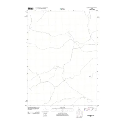 2010 Mosby Butte2010 Print · USGSBlaine County's high-desert landscape is captured here in the early twenty-first century, showing the volcanic terrain of southern Idaho. Trace the remote routes through the brush such as Bear Trap Lava Tube Rd and find the distinctive Mosby Butte.
 - 2010 Map of Deep Creek Peak, 2010 Print
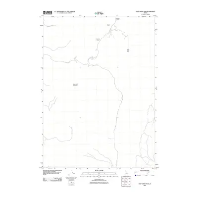 2010 Deep Creek Peak2010 Print · USGSOneida County's high country is surveyed here in the early 2000s, showing the remote canyon systems and peaks of the Idaho-Utah borderlands. Researchers can trace the path of Bannock Creek or follow backcountry routes like Bull Canyon Rd and Knox Canyon Rd W through the mountains.
 - 2010 Map of Arbon, 2010 Print
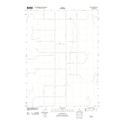 2010 Arbon2010 Print · USGSArbon and the surrounding valley floor are documented here during the early twenty-first century, showing a landscape shaped by rural life and mountain streams. Researchers can trace family-named routes and local landmarks like the Arbon Post Office, Bannock Creek, and Cemetery Rd.
 - 2010 Map of Pillar Butte SE, 2010 Print
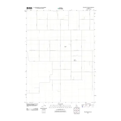 2010 Pillar Butte SE2010 Print · USGSBingham County's agricultural heartland is documented here during the first decade of the 2000s, showing a landscape shaped by rural industry. Researchers can trace family-named routes and landmarks like Pleasant Valley, Bredding Ranch Landing Area, and Lava Beds Rd.
 - 2010 Map of Sawmill Creek, 2010 Print
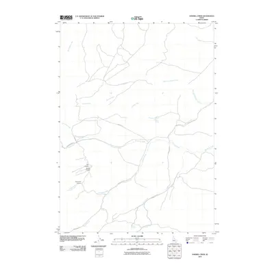 2010 Sawmill Creek2010 Print · USGSPower County's high-country drainages are meticulously documented in this 2010 survey of south-central Idaho. Researchers can trace the winding paths of Sawmill Creek and Moonshine Trl, or locate landmarks like Corral Spring.
 - 2010 Map of Roy NE, 2010 Print
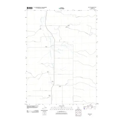 2010 Roy NE2010 Print · USGSPower County ranching country is shown here in the early twenty-first century as it sits divided by deep canyons. Trace the rural road network and family-named landmarks like South Fork Rock Creek, Portage Canyon, and Goddard Canyon.
 - 2010 Map of Pauline, 2010 Print
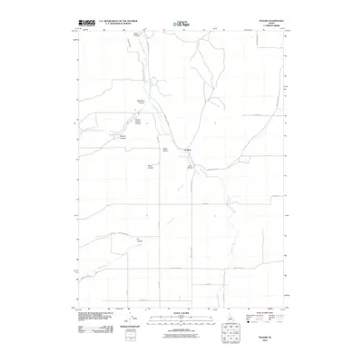 2010 Pauline2010 Print · USGSPower County, Idaho, is shown at the start of the 21st century as a landscape defined by the deep drainages of the Arbon Valley. Researchers can trace old family road networks and water systems like the Pahawena Ditch near Pauline and Rock Springs.
 - 2010 Map of Pillar Butte, 2010 Print
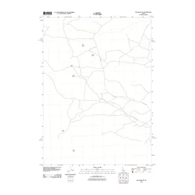 2010 Pillar Butte2010 Print · USGSBlaine County's volcanic high desert is meticulously documented here at the turn of the decade. Geologists and local explorers can trace the complex network of access trails leading to unique geological landmarks like Kings Bowl, Inferno Chasm, and the prominent Pillar Butte.
 - 2010 Map of American Falls, 2010 Print
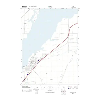 2010 American Falls2010 Print · USGSAmerican Falls and the expansive Snake River irrigation network are captured in the early twenty-first century as the city serves its role as a regional hub. Genealogists and researchers can locate Falls View Cemetery, the Power County Fairgrounds, and rural landmarks like Lone Rock or Fenstermaker Point.
 - 2010 Map of Bradley Mountain, 2010 Print
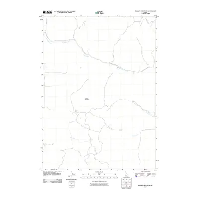 2010 Bradley Mountain2010 Print · USGSBannock County, Idaho, is seen here in the early twenty-first century, showing a high-country landscape shaped by seasonal springs and mountain passes. Researchers can trace the drainages of Rattlesnake Creek and Yellow Dog Creek or locate the vital waters of Rock Spring and Hawkins Spring.
 - 2010 Map of North Chapin Mountain, 2010 Print
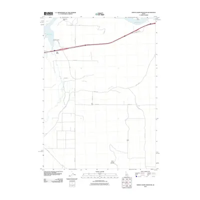 2010 North Chapin Mountain2010 Print · USGSCassia County, Idaho, maintains its rural character in the early twenty-first century as ranching and irrigation shape the Raft River Valley. Researchers can trace landownership through named sites like Jensen Ranch or follow the historic path of Old U.S. Hwy 30.
 - 2010 Map of Register Rock, 2010 Print
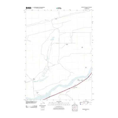 2010 Register Rock2010 Print · USGSPower County at the turn of the 21st century reveals a landscape where historic river crossings and family landmarks endure. Researchers can locate Register Rock, trace the drainage of Rock Creek, or explore the terrain of Cedar Ridge.
 - 2010 Map of Bannock Peak, 2010 Print
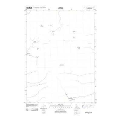 2010 Bannock Peak2010 Print · USGSPower County high country is documented here in the early twenty-first century, showing the drainage systems of the Deep Creek Mountains. Trace the paths of early travelers through Jim Brown Pass and identify upland water sources like Cabin Springs and Bannock Spring.
 - 2010 Map of Indian Springs, 2010 Print
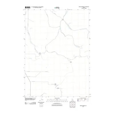 2010 Indian Springs2010 Print · USGSPower County at the end of the first decade of the 2000s shows a landscape shaped by ranching and canyon drainages. Researchers can trace land use through features like Garden Ranch, the Main West Canal, and the paths of Cold Creek Canyon.
 - 2010 Map of Rattlesnake Butte, 2010 Print
 2010 Rattlesnake Butte2010 Print · USGSBlaine County's high-desert terrain is captured in this 2010 survey of the Snake River Plain. Historians and researchers can trace the sparse network of rural access routes like Wapi Rd and Gehring Rd near the landmark of Rattlesnake Butte.
 - 2010 Map of Michaud, 2010 Print
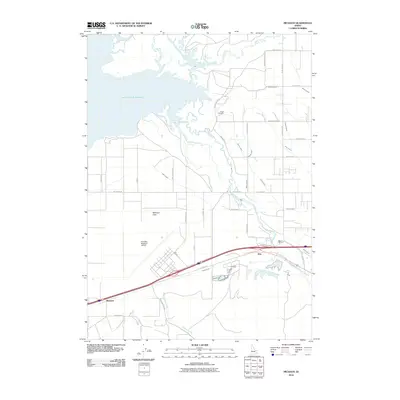 2010 Michaud2010 Print · USGSSoutheast Idaho's agricultural and transit corridors come into focus at the edge of the American Falls Reservoir during the early 2010s. Researchers can trace the legacy of local irrigation through the Taghee Canal and locate historical landmarks like the Indian Cemetery.
 - 2010 Map of Pillar Butte NE, 2010 Print
 2010 Pillar Butte NE2010 Print · USGSBingham County at the start of the 2010s reveals a high-desert landscape defined by its persistent rural road grid and family landmarks. Researchers can trace land ownership patterns through namesake routes like Schritter Rd, Gambill Rd, and the prominent Flat Top terrain.
 - 2010 Map of Aberdeen, 2010 Print
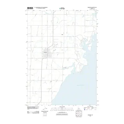 2010 Aberdeen2010 Print · USGSIn the early twenty-first century, the irrigated plains of Bingham County meet the massive American Falls Reservoir. Genealogists and historians can trace the intricate water network from the Highline Canal to Aberdeen and the smaller settlement of Fingal.
 - 2010 Map of Neeley, 2010 Print
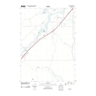 2010 Neeley2010 Print · USGSThe Snake River corridor in Power County comes alive in this 2010 survey, detailing the rural landscape around Neeley. Researchers can trace the legacy of the area through the Neeley Cemetery, the historic Massacre Rocks, and the industrial Lamb-Weston Dam.
 - 2010 Map of Schiller, 2010 Print
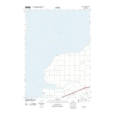 2010 Schiller2010 Print · USGSThe agricultural and shoreline landscape near Pocatello is captured here in the early 2000s, defined by the reach of the reservoir. Researchers can locate the Indian Cemetery and the prominent General Mills Grain Elevator in the settlement of Schiller.
 - 2010 Map of Rockland East, 2010 Print
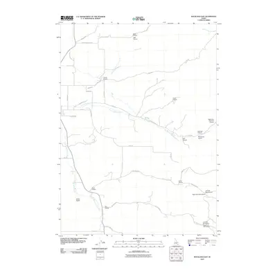 2010 Rockland East2010 Print · USGSEast of Rockland in the early twenty-first century, this landscape shows the intersection of deep-cut Idaho canyons and high-desert ranching. Researchers can trace land use patterns and water management through features like Bench Ditch, Mill Canyon, and Mollys Nipple.
 - 2010 Map of Wheatgrass Bench, 2010 Print
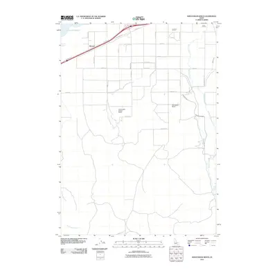 2010 Wheatgrass Bench2010 Print · USGSArbon Valley irrigation systems and rural settlements are documented here during the early twenty-first century. Researchers can trace land use through features like the Bannock Canal, the Sun Dance Ground, and the Compressor Station Bench.
Showing maps 1-25 of 114
Top cities of Power County
Frequently asked questions
- What are the different types of historical maps available for Power County?
- What is the oldest map of Power County?
- Where can I purchase historical maps of Power County for my home or office?
- Where can I download high-res historical maps of Power County?
- Are there historical topographic maps available for Power County?
- Is there historical aerial imagery available for Power County?
- Where are historical maps of Power County sourced from?