2020s Maps of Power County, Idaho
Explore 76 historic maps of Power County from the 2020s. These maps offer a rare glimpse into what life looked like during the 2020s — showing old roads, neighborhoods, homes, and landmarks that have changed or disappeared over time.
Whether you're researching your family's past, planning a metal detecting trip, or studying how Power County's landscape evolved across the 2020s, these high-resolution maps are a powerful tool for exploring the history of this region.
- Focus on a specific era: All maps on this page are from the 2020s, giving you a focused view of this time period.
- See what’s changed: Compare century-old streets, trails, and buildings to today's modern landscape using overlays and satellite layers.
- Research with precision: Use these maps for genealogy, historical research, land use analysis, or educational projects.
- View, download, or print: Maps are fully viewable online in high resolution, and can be downloaded or printed for your own records.
Start exploring Power County's history through authentic maps from the 2020s. This is your window into the past.
Power County, ID maps
(76)- 2020 Map of Pocatello South, 2020 Print
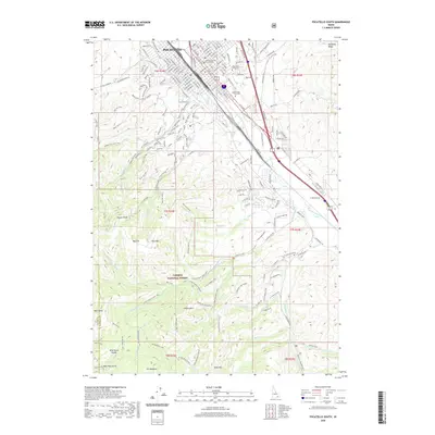 2020 Pocatello South2020 Print · USGSSouthern Pocatello and the Caribou National Forest transition from urban centers to mountain peaks in this modern survey. Researchers can trace the layout of Idaho State University and locate landmarks like Mountain View Cem and the Bannock County Courthouse.
 - 2020 Map of Arbon, 2020 Print
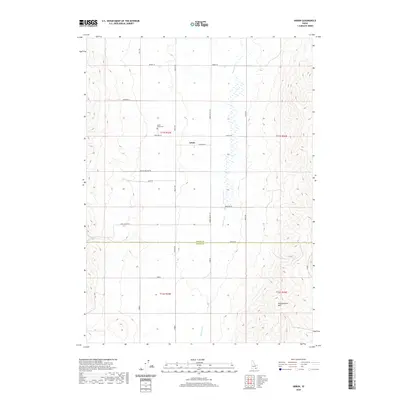 2020 Arbon2020 Print · USGSArbon and the surrounding high-country valley are captured here in the twenty-first century, showcasing a landscape of isolated homesteads and family-named roads. Genealogists and local historians can locate the Arbon Valley Cem and trace routes like Willow Hollow Rd and Lake Canyon Rd.
 - 2020 Map of Michaud, 2020 Print
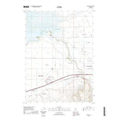 2020 Michaud2020 Print · USGSThe western edge of Pocatello meets the Snake River Plain in this recent Idaho survey. Local researchers can trace the reach of the Portneuf River and explore the development around Chubbuck, Arbon Valley, and the Pocatello Regional Airport.
 - 2020 Map of Aberdeen, 2020 Print
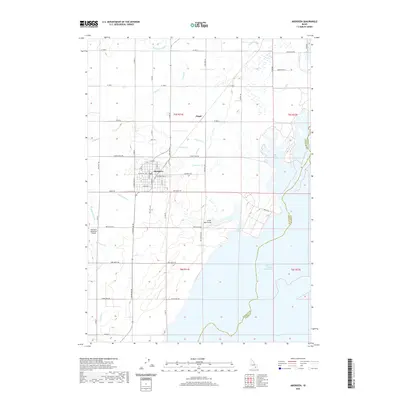 2020 Aberdeen2020 Print · USGSThe high desert plains of Bingham County meet the vast American Falls Reservoir in this modern survey of the region. Local researchers can trace the intricate irrigation network of the Highline Canal and Low Line Canal that supports the settlements of Aberdeen and Fingal.
 - 2020 Map of Schiller, 2020 Print
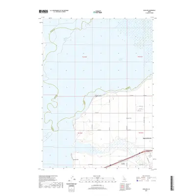 2020 Schiller2020 Print · USGSThe Snake River plain meets the growing edge of the city in the early twenty-first century. Researchers can trace the rural infrastructure of Michaud Flats and shoreline access points at Rainbow Beach and Schiller as they relate to Pocatello.
 - 2020 Map of Michaud Creek, 2020 Print
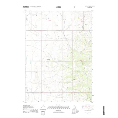 2020 Michaud Creek2020 Print · USGSArbon Valley and the western slopes of the Caribou National Forest are shown in detail during the early twenty-first century. Researchers can trace the path of the Tyhee Canal and locate remote features like Eagletail Rock, Horse Lake, and Wildcat Spring.
 - 2020 Map of Pillar Butte NE, 2020 Print
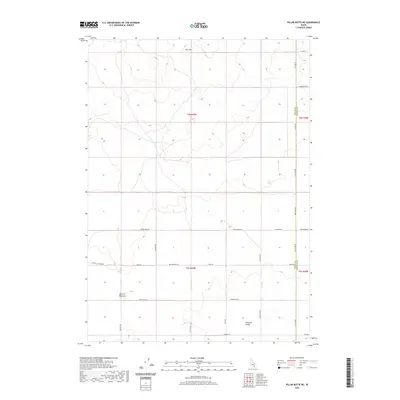 2020 Pillar Butte NE2020 Print · USGSBingham County's high desert landscape is captured here in the modern era, showing a grid of rural roads and volcanic terrain. Researchers can trace land divisions near Flat Top or locate geologic markers like Winters Blowout and Pleasant Valley.
 - 2020 Map of Pillar Butte SE, 2020 Print
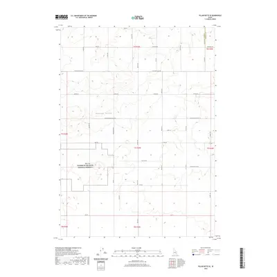 2020 Pillar Butte SE2020 Print · USGSBingham County's volcanic edge and agricultural valley meet here in the early twenty-first century. Genealogists and historians can trace family-named routes such as Burgemeister Rd and Quigley Rd alongside the Wapi Flow.
 - 2020 Map of Gifford Spring, 2020 Print
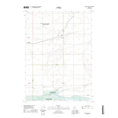 2020 Gifford Spring2020 Print · USGSThe Snake River Plain in southern Idaho comes to life here, showing the intersection of historic pioneer routes and volcanic wilderness. Trace the path of the Oregon Trail as it passes near the Wapi Flow and the quiet rail sidings at Wapi and DeWoff.
 - 2020 Map of Roy, 2020 Print
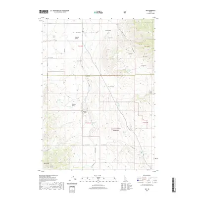 2020 Roy2020 Print · USGSPower and Oneida counties in the early twenty-first century are defined by high-desert basins and the sprawling Curlew National Grassland. Researchers can trace the rugged topography of Rockland Valley and identify local water sources like Sagehen Springs and Kurtz Spring.
 - 2020 Map of Wheatgrass Bench, 2020 Print
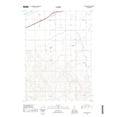 2020 Wheatgrass Bench2020 Print · USGSArbon Valley agriculture and upland terrain are mapped here in the early twenty-first century. Researchers can trace the extensive irrigation network including Owl Canal and Taghee Canal, or locate local landmarks like Bannock and Arbon Xing.
 - 2020 Map of Hartley Peak, 2020 Print
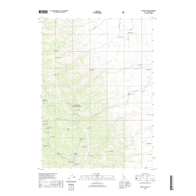 2020 Hartley Peak2020 Print · USGSThe Sublett Range in Power County comes into focus in the early 2020s, showing a landscape defined by the Sawtooth National Forest. You can trace the drainage systems of Hartley Peak, the winding path of N Fork Sublett Cr, and the seasonal tracks of the Lake Fork Loop (Snow).
 - 2020 Map of Deep Creek Peak, 2020 Print
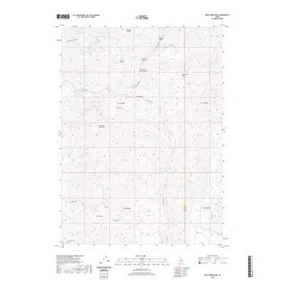 2020 Deep Creek Peak2020 Print · USGSOneida County's high-country terrain is captured here in the contemporary era, showing the rugged network of ridges and drainages that define the Idaho landscape. Researchers can trace historical access routes through the mountains via Portage Canyon Rd and locate landmarks like Deep Creek Peak and Bannock Cr.
 - 2020 Map of American Falls SW, 2020 Print
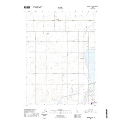 2020 American Falls SW2020 Print · USGSBingham County and Power County are captured here in 2020 at the intersection of the Snake River and high-desert agriculture. Researchers can trace rural family-named roads and water infrastructure from Pleasant Valley to the American Falls Reservoir and Highline Canal.
 - 2020 Map of Dairy Creek, 2020 Print
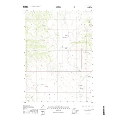 2020 Dairy Creek2020 Print · USGSSouthern Idaho's ranching country comes into focus in this contemporary survey of the high desert and canyon lands. Local historians can trace family-named landmarks and essential water sources like Cowley Spring, Tom Perry Canyon, and Little Malad Spring.
 - 2020 Map of Pauline, 2020 Print
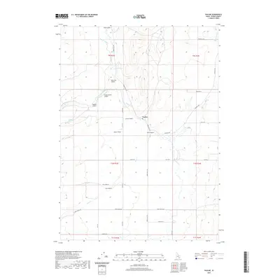 2020 Pauline2020 Print · USGSArbon Valley and the small settlement of Pauline are captured here in the contemporary era, showcasing the intersection of high-desert ranching and complex terrain. Researchers can trace land use patterns and water systems like the Pabawena Ditch, Waylett Spring, and Knox Canyon.
 - 2020 Map of Bannock Peak, 2020 Print
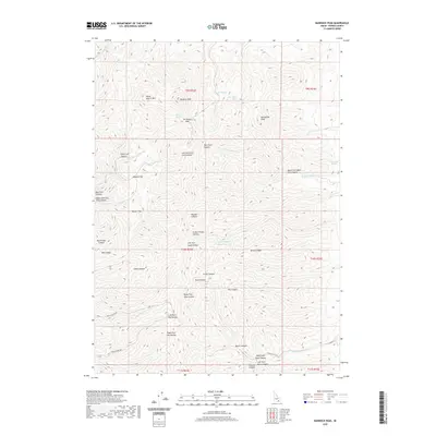 2020 Bannock Peak2020 Print · USGSPower County’s high mountain terrain is mapped here in recent detail, showing the intricate canyon systems and high summits of the Idaho backcountry. Modern researchers can trace water sources like Bannock Spring and explore family-named landmarks such as Pete Lish Canyon and Jim Brown Pass.
 - 2020 Map of Clifton Creek, 2020 Print
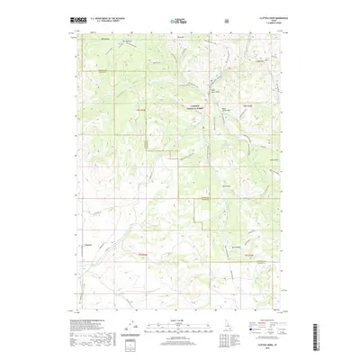 2020 Clifton Creek2020 Print · USGSBannock County and Power County meet in this southern Idaho mountain landscape during the early twenty-first century. Genealogists and hikers can trace the geography of old settlements like Crystal or locate water sources like Valve House Spring and Corral Spring.
 - 2020 Map of Rattlesnake Butte, 2020 Print
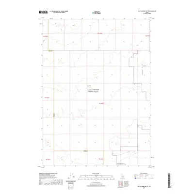 2020 Rattlesnake Butte2020 Print · USGSBlaine County's volcanic interior is captured here in the contemporary era, showing the intersection of lava fields and desert valleys. Map researchers can trace the extent of the Wapi Flow and locate landmarks like Rattlesnake Butte and Pleasant Valley.
 - 2020 Map of Flatiron Hill, 2020 Print
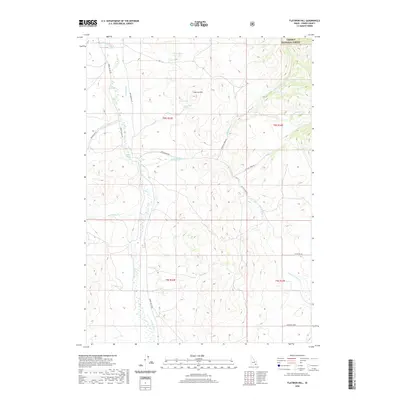 2020 Flatiron Hill2020 Print · USGSPower County, Idaho, as it appeared in 2020, reveals a landscape of high-country ranching and forest land. You can trace the irrigation history and seasonal water sources of the Arbon Valley via Pevo Ditch, Officer Spring, and Bannock Cr.
 - 2020 Map of Indian Springs, 2020 Print
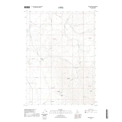 2020 Indian Springs2020 Print · USGSThe high canyons and springs of Power County are mapped here in the modern era as the rugged drainage of the Deep Creek Mountains unfolds. Researchers can trace family-named routes like Hornbacher Rd and explore remote features like Moonshine Cr or Indian Springs.
 - 2020 Map of Pillar Butte, 2020 Print
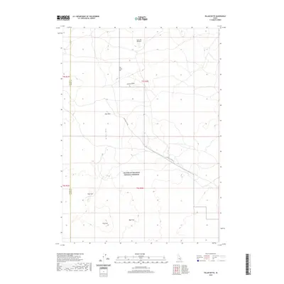 2020 Pillar Butte2020 Print · USGSSouthern Idaho's volcanic landscape is captured here in the late 2010s, centered on the dramatic fissures of the Great Rift. Geologists and explorers can trace the extent of the Wapi Flow and locate specific sites like Kings Bowl and Inferno Chasm.
 - 2020 Map of American Falls, 2020 Print
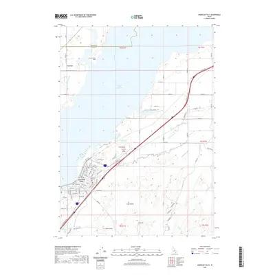 2020 American Falls2020 Print · USGSPower County settlement and water management take center stage in this 2020 study of the Snake River plain. Local historians can trace the townsite of American Falls and locate specific sites like the Falls View Cem and the Power County Courthouse.
 - 2020 Map of Sawmill Creek, 2020 Print
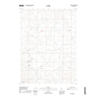 2020 Sawmill Creek2020 Print · USGSPower County, Idaho, is recorded here in 2020, showing a landscape defined by ranching heritage and the high drainages of the Deep Creek Mountains. Genealogists and historians can trace the paths of Moonshine Trl and Sawmill Creek Rd to find old water sites like Sawmill Spring.
 - 2020 Map of Bradley Mountain, 2020 Print
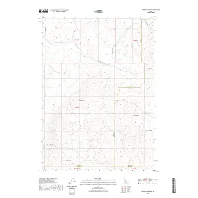 2020 Bradley Mountain2020 Print · USGSSoutheast Idaho at the meeting point of three counties reveals a landscape shaped by high ridges and vital water sources. Trace the path of Mine Canyon or locate reliable water at Hawkins Spring and Rock Spring across this remote terrain.
Showing maps 1-25 of 76
Top cities of Power County
Frequently asked questions
- What are the different types of historical maps available for Power County?
- What is the oldest map of Power County?
- Where can I purchase historical maps of Power County for my home or office?
- Where can I download high-res historical maps of Power County?
- Are there historical topographic maps available for Power County?
- Is there historical aerial imagery available for Power County?
- Where are historical maps of Power County sourced from?