2000s (21st Century) Maps of Indiana
Explore 3,580 historic maps of Indiana from the 2000s (21st Century). These maps offer a rare glimpse into what life looked like during the 2000s — showing old roads, neighborhoods, homes, and landmarks that have changed or disappeared over time.
Whether you're researching your family's past, planning a metal detecting trip, or studying how Indiana's landscape evolved across the 2000s, these high-resolution maps are a powerful tool for exploring the history of this region.
- Focus on a specific era: All maps on this page are from the 2000s, giving you a focused view of this time period.
- See what’s changed: Compare century-old streets, trails, and buildings to today's modern landscape using overlays and satellite layers.
- Research with precision: Use these maps for genealogy, historical research, land use analysis, or educational projects.
- View, download, or print: Maps are fully viewable online in high resolution, and can be downloaded or printed for your own records.
Start exploring Indiana's history through authentic maps from the 2000s. This is your window into the past.
Indiana maps
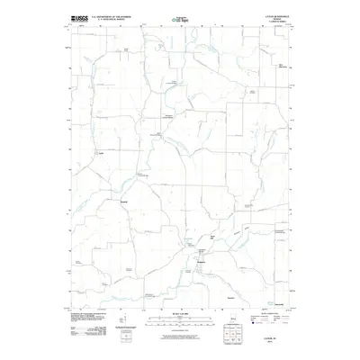
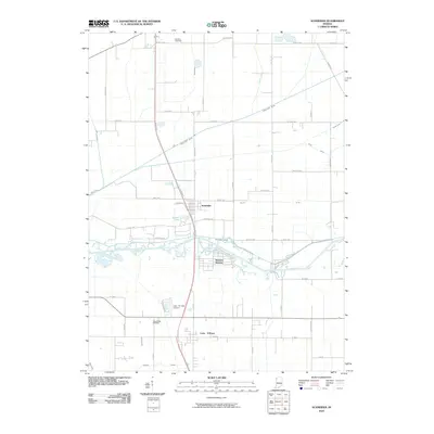
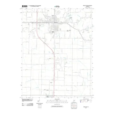
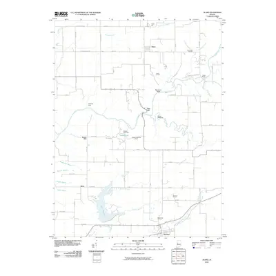
(3,580)- 2000 Map of Mitchell, 2001 Print
 2000 Mitchell2001 Print · USGSSouthern Indiana at the millennium reveals a landscape shaped by historical boundaries and limestone drainage. Researchers can trace the Indian Treaty Boundary and locate local landmarks like Spring Mill Village and Fairview Cem.
 - 2010 Map of Owensville, 2010 Print
 2010 Owensville2010 Print · USGSCovers Indiana, including Johnson, Owensville, and other nearby areas
 - 2010 Map of Fritchton, 2010 Print
 2010 Fritchton2010 Print · USGSCovers Indiana, including Vincennes, Fritchton, and other nearby areas
 - 2010 Map of Koleen, 2010 Print
 2010 Koleen2010 Print · USGSCovers Indiana, including Doans, Koleen, and other nearby areas
 - 2010 Map of Catlin, 2010 Print
 2010 Catlin2010 Print · USGSCovers Indiana, including Piattsville, Catlin, and other nearby areas
 - 2010 Map of Corydon East, 2010 Print
 2010 Corydon East2010 Print · USGSCovers Indiana, including Corydon, New Middletown, and other nearby areas
 - 2010 Map of West Lebanon, 2010 Print
 2010 West Lebanon2010 Print · USGSCovers Indiana, including West Lebanon, Sycamore Corner, and other nearby areas
 - 2010 Map of Fulda, 2010 Print
 2010 Fulda2010 Print · USGSCovers Indiana, including Troy, Maxville, and other nearby areas
 - 2010 Map of Schneider, 2010 Print
 2010 Schneider2010 Print · USGSCovers Indiana, including Schneider, West Creek Township, and other nearby areas
 - 2010 Map of Loogootee, 2010 Print
 2010 Loogootee2010 Print · USGSCovers Indiana, including Loogootee, Cannelburg, and other nearby areas
 - 2010 Map of Hillsboro, 2010 Print
 2010 Hillsboro2010 Print · USGSCovers Indiana, including Veedersburg, Hillsboro, and other nearby areas
 - 2010 Map of Lynnville, 2010 Print
 2010 Lynnville2010 Print · USGSCovers Indiana, including Lynnville, Graham Valley, and other nearby areas
 - 2010 Map of Princeton, 2010 Print
 2010 Princeton2010 Print · USGSCovers Indiana, including Princeton, Fort Branch, and other nearby areas
 - 2010 Map of DeMotte, 2010 Print
 2010 DeMotte2010 Print · USGSCovers Indiana, including Kersey, DeMotte, and other nearby areas
 - 2010 Map of Whiting, 2010 Print
 2010 Whiting2010 Print · USGSCovers Indiana, including Hammond, Gary, and other nearby areas
 - 2010 Map of Rockport, 2010 Print
 2010 Rockport2010 Print · USGSCovers Indiana, including Rockport, Chrisney, and other nearby areas
 - 2010 Map of Portage, 2010 Print
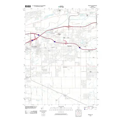 2010 Portage2010 Print · USGSCovers Indiana, including Gary, Portage, and other nearby areas
 - 2010 Map of Charlestown, 2010 Print
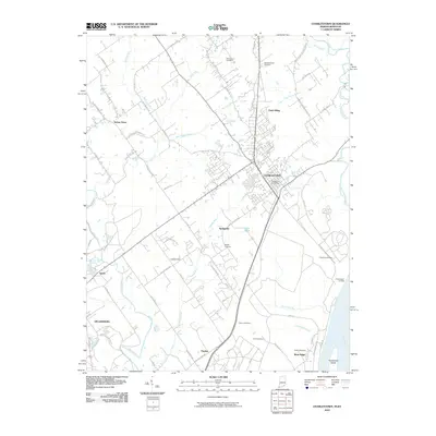 2010 Charlestown2010 Print · USGSCovers Indiana, including Louisville, Jeffersonville, and other nearby areas
 - 2010 Map of Clay City, 2010 Print
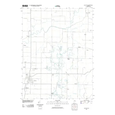 2010 Clay City2010 Print · USGSCovers Indiana, including Clay City, Smithville, and other nearby areas
 - 2010 Map of Hymera, 2010 Print
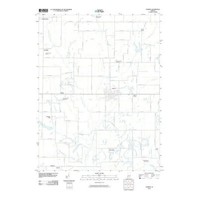 2010 Hymera2010 Print · USGSCovers Indiana, including Farmersburg, Hymera, and other nearby areas
 - 2010 Map of Alamo, 2010 Print
 2010 Alamo2010 Print · USGSCovers Indiana, including Waveland, Alamo, and other nearby areas
 - 2010 Map of Kent, 2010 Print
 2010 Kent2010 Print · USGSCovers Indiana, including Chelsea, Swanville, and other nearby areas
 - 2010 Map of Chrisney, 2010 Print
 2010 Chrisney2010 Print · USGSCovers Indiana, including Chrisney, Tennyson, and other nearby areas
 - 2010 Map of Chesterton, 2010 Print
 2010 Chesterton2010 Print · USGSCovers Indiana, including Portage, Valparaiso, and other nearby areas
 - 2010 Map of Bedford East, 2010 Print
 2010 Bedford East2010 Print · USGSCovers Indiana, including Bedford, Mitchell, and other nearby areas
Showing maps 1-25 of 3,580
Top cities of Indiana
- Indianapolis historical maps
- Fort Wayne historical maps
- Evansville historical maps
- South Bend historical maps
- Carmel historical maps
- Fishers historical maps
See more
Top counties of Indiana
- Lake County historical maps
- Allen County historical maps
- Hamilton County historical maps
- Saint Joseph County historical maps
- Elkhart County historical maps
- Tippecanoe County historical maps
See more
Frequently asked questions
- What are the different types of historical maps available for Indiana?
- What is the oldest map of Indiana?
- Where can I purchase historical maps of Indiana for my home or office?
- Where can I download high-res historical maps of Indiana?
- Are there historical topographic maps available for Indiana?
- Is there historical aerial imagery available for Indiana?
- Where are historical maps of Indiana sourced from?