2020s Maps of Indiana
Explore 737 historic maps of Indiana from the 2020s. These maps offer a rare glimpse into what life looked like during the 2020s — showing old roads, neighborhoods, homes, and landmarks that have changed or disappeared over time.
Whether you're researching your family's past, planning a metal detecting trip, or studying how Indiana's landscape evolved across the 2020s, these high-resolution maps are a powerful tool for exploring the history of this region.
- Focus on a specific era: All maps on this page are from the 2020s, giving you a focused view of this time period.
- See what’s changed: Compare century-old streets, trails, and buildings to today's modern landscape using overlays and satellite layers.
- Research with precision: Use these maps for genealogy, historical research, land use analysis, or educational projects.
- View, download, or print: Maps are fully viewable online in high resolution, and can be downloaded or printed for your own records.
Start exploring Indiana's history through authentic maps from the 2020s. This is your window into the past.
Indiana maps
- 2021 Map of Maunie, 2021 Print
 2021 Maunie2021 Print · USGSCovers Indiana, including Maunie, Rising Sun, and other nearby areas
 - 2021 Map of Emma, 2021 Print
 2021 Emma2021 Print · USGSCovers Indiana, including Emma, New Haven, and other nearby areas
 - 2021 Map of Saint Francisville, 2021 Print
 2021 Saint Francisville2021 Print · USGSCovers Indiana, including Allendale, Beal, and other nearby areas
 - 2021 Map of Heathsville, 2021 Print
 2021 Heathsville2021 Print · USGSCovers Indiana, including Palestine, Richwoods, and other nearby areas
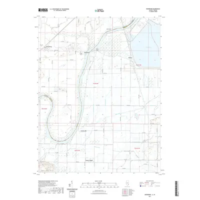
 - 2021 Map of Dennison, 2021 Print
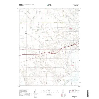 2021 Dennison2021 Print · USGSCovers Indiana, including Weaver, State Line, and other nearby areas
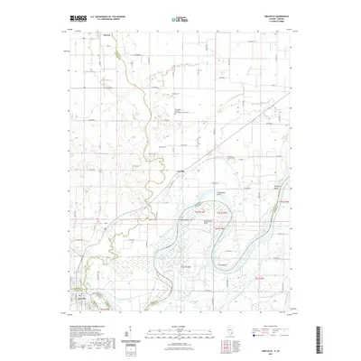
 - 2021 Map of Scottland, 2021 Print
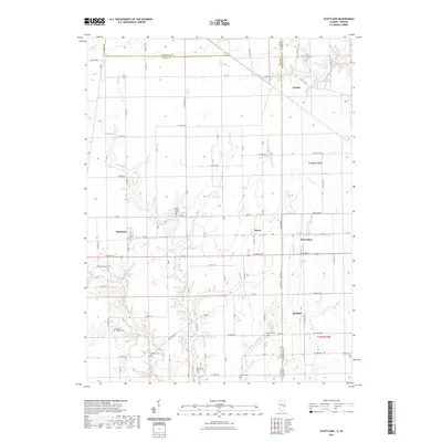 2021 Scottland2021 Print · USGSCovers Indiana, including Raven, Scottland, and other nearby areas
 - 2021 Map of Humrick, 2021 Print
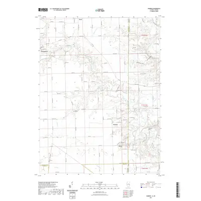 2021 Humrick2021 Print · USGSCovers Indiana, including Georgetown, Humrick, and other nearby areas
 - 2021 Map of West Union, 2021 Print
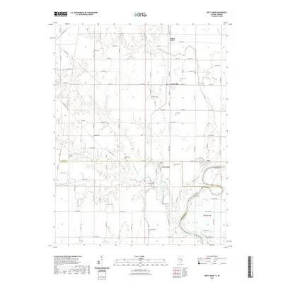 2021 West Union2021 Print · USGSCovers Indiana, including York, West Union, and other nearby areas
 - 2021 Map of Beecher East, 2021 Print
 2021 Beecher East2021 Print · USGSCovers Indiana, including Beecher, Grant Park, and other nearby areas
 - 2021 Map of Lake Calumet, 2021 Print
 2021 Lake Calumet2021 Print · USGSCovers Indiana, including Chicago, Hammond, and other nearby areas
 - 2021 Map of Illiana Heights, 2021 Print
 2021 Illiana Heights2021 Print · USGSCovers Indiana, including Grant Park, Shadow Lawn, and other nearby areas
 - 2021 Map of Jackson Park, 2021 Print
 2021 Jackson Park2021 Print · USGSCovers Indiana, including Chicago, Lake Township, and other nearby areas
 - 2021 Map of Calumet City, 2021 Print
 2021 Calumet City2021 Print · USGSCovers Indiana, including Hammond, Calumet City, and other nearby areas
 - 2021 Map of Stockland, 2021 Print
 2021 Stockland2021 Print · USGSCovers Indiana, including Stockland, Greer, and other nearby areas
 - 2021 Map of Danville NE, 2021 Print
 2021 Danville NE2021 Print · USGSCovers Indiana, including Danville, Illiana, and other nearby areas
 - 2021 Map of Donovan, 2021 Print
 2021 Donovan2021 Print · USGSCovers Indiana, including Donovan, North Hooper, and other nearby areas
 - 2021 Map of Sheldon, 2021 Print
 2021 Sheldon2021 Print · USGSCovers Indiana, including Sheldon, Iroquois, and other nearby areas
 - 2021 Map of Darrow, 2021 Print
 2021 Darrow2021 Print · USGSCovers Indiana, including Darrow, Cutmer, and other nearby areas
 - 2021 Map of Leesville, 2021 Print
 2021 Leesville2021 Print · USGSCovers Indiana, including Hopkins Park, Kankakee County, and other nearby areas
 - 2021 Map of Bismarck, 2021 Print
 2021 Bismarck2021 Print · USGSCovers Indiana, including Bismarck, Alvin, and other nearby areas
 - 2021 Map of Danville SE, 2021 Print
 2021 Danville SE2021 Print · USGSCovers Indiana, including Danville, Tilton, and other nearby areas
 - 2021 Map of Mount Carmel, 2021 Print
 2021 Mount Carmel2021 Print · USGSCovers Indiana, including Mount Carmel, White River, and other nearby areas
 - 2021 Map of Keensburg, 2021 Print
 2021 Keensburg2021 Print · USGSCovers Indiana, including Keensburg, Rochester, and other nearby areas
 - 2021 Map of Grayville, 2021 Print
 2021 Grayville2021 Print · USGSCovers Indiana, including Grayville, Browns, and other nearby areas
 - 2021 Map of Hutsonville, 2021 Print
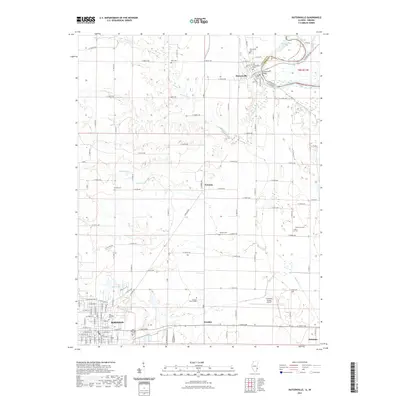 2021 Hutsonville2021 Print · USGSCovers Indiana, including Robinson, Palestine, and other nearby areas
Showing maps 1-25
Top cities of Indiana
- Indianapolis historical maps
- Fort Wayne historical maps
- Evansville historical maps
- South Bend historical maps
- Carmel historical maps
- Fishers historical maps
See more
Top counties of Indiana
- Lake County historical maps
- Allen County historical maps
- Hamilton County historical maps
- Saint Joseph County historical maps
- Elkhart County historical maps
- Tippecanoe County historical maps
See more
Frequently asked questions
- What are the different types of historical maps available for Indiana?
- What is the oldest map of Indiana?
- Where can I purchase historical maps of Indiana for my home or office?
- Where can I download high-res historical maps of Indiana?
- Are there historical topographic maps available for Indiana?
- Is there historical aerial imagery available for Indiana?
- Where are historical maps of Indiana sourced from?