2000s (21st Century) Maps of Missouri
Explore 5,473 historic maps of Missouri from the 2000s (21st Century). These maps offer a rare glimpse into what life looked like during the 2000s — showing old roads, neighborhoods, homes, and landmarks that have changed or disappeared over time.
Whether you're researching your family's past, planning a metal detecting trip, or studying how Missouri's landscape evolved across the 2000s, these high-resolution maps are a powerful tool for exploring the history of this region.
- Focus on a specific era: All maps on this page are from the 2000s, giving you a focused view of this time period.
- See what’s changed: Compare century-old streets, trails, and buildings to today's modern landscape using overlays and satellite layers.
- Research with precision: Use these maps for genealogy, historical research, land use analysis, or educational projects.
- View, download, or print: Maps are fully viewable online in high resolution, and can be downloaded or printed for your own records.
Start exploring Missouri's history through authentic maps from the 2000s. This is your window into the past.
Missouri maps
(5,473)- 2000 Map of Millersburg, 2002 Print
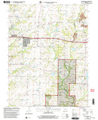 2000 Millersburg2002 Print · USGSBoone and Callaway Counties are captured here at the end of the twentieth century, showing a mix of national forest lands and rural settlements. Genealogists can trace family landmarks like Cedar Ch Cem, Olivet Ch, and the crossroads at Harg.
 - 2000 Map of Minnith, 2002 Print
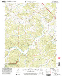 2000 Minnith2002 Print · USGSThe borderlands of Ste. Genevieve and Perry counties come into focus at the turn of the century. Genealogists can trace family names through landmarks like Peach Tree Ridge and several rural burial sites, including Roth Cem and Mange Cem.
 - 2000 Map of Millersburg NE, 2003 Print
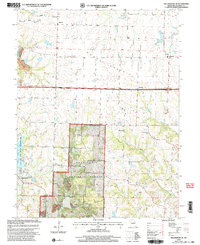 2000 Millersburg NE2003 Print · USGSSettlement and conservation meet in central Missouri at the turn of the millennium. Genealogists and researchers can locate Rising Sun Ch, New Richland Ch Cem, and the Callaway R 1 Sch among the rolling hills and forest.
 - 2000 Map of Rock Pile Mountain, 2003 Print
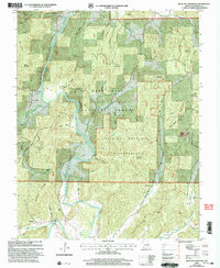 2000 Rock Pile Mountain2003 Print · USGSThe St. Francis River valley in Madison County appears here at the turn of the millennium, centered on the protected backcountry of the Ozarks. Genealogists can locate family landmarks like Jewett, Mt Pisgah Ch, and numerous burial sites including Francis Cem and Jowett Cem.
 - 2000 Map of Hartsburg, 2003 Print
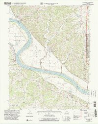 2000 Hartsburg2003 Print · USGSThe Missouri River bluffs and bottomlands are captured here at the end of the twentieth century. Genealogists and historians can trace family sites like Steeley Cem and Bonds Chapel, or locate the Indian Mound and State Auxiliary Prison (Church Farm).
 - 2000 Map of Glover, 2003 Print
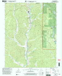 2000 Glover2003 Print · USGSIron County at the start of the new millennium shows a landscape defined by the Missouri Pacific RR corridor and the surrounding national forest. Researchers can trace rural church history at Emmaus Chapel or locate family sites like Huff Cem and the Lead Smelter near Chloride.
 - 2000 Map of Mokane East, 2003 Print
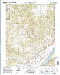 2000 Mokane East2003 Print · USGSCallaway County at the turn of the millennium shows a landscape shaped by the Missouri River and the conversion of the old rail corridor. Local researchers can trace family sites at Middle River Cem, explore the community at Mokane, and locate old landmarks like Browns Ford.
 - 2000 Map of Defiance, 2003 Print
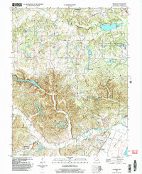 2000 Defiance2003 Print · USGSSouthern St. Charles County at the turn of the millennium shows a landscape defined by the Missouri River floodplain and significant state conservation lands. Genealogists and local historians can locate Journey Cem, the village of Schluersburg, and the rural road network including Matson Hill Road.
 - 2000 Map of Patton, 2003 Print
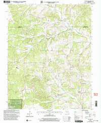 2000 Patton2003 Print · USGSBollinger and Perry counties at the turn of the millennium reveal a landscape of creek-side settlements and forest lands. Genealogists and local historians can trace family locations near Reagan Chapel, Oak Grove Sch, and the Pleasant Hill Cem.
 - 2000 Map of Mokane West, 2003 Print
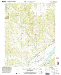 2000 Mokane West2003 Print · USGSMissouri River bottomlands and Callaway County uplands meet in this 2000 survey, showing the landscape just before the modern era. Genealogists and hikers can trace the Katy State Park Trail through Mokane or locate Mt Tabor Cem and the river crossing at Browns Ford.
 - 2000 Map of Jefferson City NW, 2003 Print
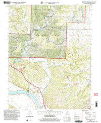 2000 Jefferson City NW2003 Print · USGSCallaway County and the Missouri River bottomlands are captured here at the turn of the millennium as a blend of conservation forest and river-fed agriculture. Researchers can trace family history at Wallace Cemetery or explore the corridor of the Katy Trail State Park near the State Prison Farm.
 - 2000 Map of Guthrie, 2003 Print
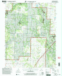 2000 Guthrie2003 Print · USGSCallaway County at the turn of the century shows a rural landscape where the timber of the Mark Twain National Forest meets active resource extraction. Researchers can locate local landmarks like Guthrie, the Carrington Sch, and numerous family burial sites such as the Hundley Cem.
 - 2000 Map of Des Arc NE, 2003 Print
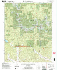 2000 Des Arc NE2003 Print · USGSIron and Madison counties are shown here as the new millennium began, dominated by the heavily timbered tracts of the Mark Twain National Forest. Genealogists and hikers can trace the Ozark Trail past rural landmarks like Liberty United Cem, Minimum, and the remote Black Mtn Ch.
 - 2000 Map of Fulton, 2003 Print
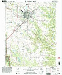 2000 Fulton2003 Print · USGSFulton was a major regional hub for education and healthcare at the turn of the millennium. Genealogists and historians can trace the expansive grounds of State Hospital No 1, the local Carver Sch, and the quiet rural roads of Hams Prairie.
 - 2000 Map of Womack, 2003 Print
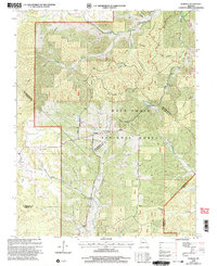 2000 Womack2003 Print · USGSSoutheast Missouri at the turn of the millennium reveals a rugged landscape where four counties meet within the national forest. Researchers can trace the river systems of the Castor River and Whitewater River or locate local landmarks like Silver Point Ch and McDowell Cem.
 - 2000 Map of Wentzville, 2003 Print
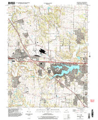 2000 Wentzville2003 Print · USGSWentzville and St. Charles County were undergoing a period of intense suburban development at the turn of the century. Genealogists and local historians can trace the evolution of old settlements like Flint Hill and Josephville alongside the growth of Lake Saint Louis.
 - 2000 Map of Cherokee Pass, 2003 Print
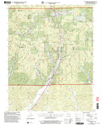 2000 Cherokee Pass2003 Print · USGSMadison County at the turn of the millennium shows a landscape deeply shaped by the Mark Twain National Forest and rural family life. Genealogists can trace lineage through numerous sites like Revelle Cem, Settle Cem, and the historic Twelvemile Ch.
 - 2000 Map of New Bloomfield, 2003 Print
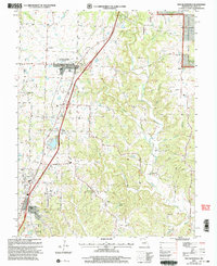 2000 New Bloomfield2003 Print · USGSCallaway County at the turn of the millennium shows a landscape where established towns like New Bloomfield meet the edges of the Mark Twain National Forest. Genealogists can trace family names through over a dozen rural burial sites, including Cason Cem, Williams Cem, and Foster Cem.
 - 2000 Map of Lake Killarney, 2003 Print
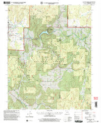 2000 Lake Killarney2003 Print · USGSThe Iron County hill country at the start of the millennium is captured here, showing the gateway to the St. Francois Mountains. Researchers can locate numerous family burial grounds like Royer Cem and Sutton Cem, or trace the development of Killarney Shores and the Arcadia Valley Golf Club.
 - 2000 Map of Higdon, 2003 Print
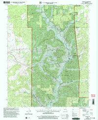 2000 Higdon2003 Print · USGSMadison County at the turn of the millennium retains its deep-rooted rural character among the river valleys and national forest. Researchers can trace family history through several remote burial grounds and churches like Peterman Cem, Underwood Cem, and Cornwall Ch.
 - 2000 Map of Marquand, 2003 Print
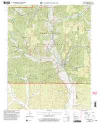 2000 Marquand2003 Print · USGSThe Castor River valley and the eastern edge of the Mark Twain National Forest are captured here at the turn of the millennium. Local researchers can locate early burial grounds like Whitener Cem and rural centers such as Marquand and Klondike.
 - 2000 Map of Millersburg SW, 2003 Print
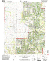 2000 Millersburg SW2003 Print · USGSSouthern Boone County at the turn of the century shows a landscape where university research lands and national forest meet regional infrastructure. Genealogists and local historians can locate Barnes Chapel, Harris Cem, and the rural community of Englewood.
 - 2000 Map of Hurricane, 2003 Print
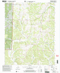 2000 Hurricane2003 Print · USGSBollinger County at the turn of the millennium shows a landscape of deep hollows and high ridges within the Mark Twain National Forest. Local historians can locate community pillars like Younts Store, New Bethel Ch, and the Slinkard Cem.
 - 2000 Map of Rhodes Mountain, 2003 Print
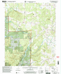 2000 Rhodes Mountain2003 Print · USGSMadison County at the turn of the millennium remains a landscape of deep river shut-ins and historic mining sites. Researchers can trace local lineage at Ashlock Cem or locate old operations like the Apex Mine and Silver Mine along the St Francis River.
 - 2000 Map of Iron Mountain Lake, 2003 Print
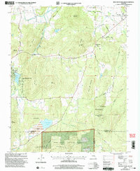 2000 Iron Mountain Lake2003 Print · USGSThe St. Francois Mountains area of Missouri is captured here just as the new millennium began, showing a landscape defined by mining history and timbered heights. Researchers can trace family roots through several rural burial sites like the German Cem and landmarks such as Stone Union Ch or the settlement of Doe Run.
Showing maps 1-25 of 5,473
Top cities of Missouri
- Kansas City historical maps
- St. Louis historical maps
- Springfield historical maps
- Columbia historical maps
- Independence historical maps
- Lee's Summit historical maps
See more
Top counties of Missouri
- Saint Louis County historical maps
- Jackson County historical maps
- Saint Charles County historical maps
- St. Louis historical maps
- Greene County historical maps
- Clay County historical maps
See more
Frequently asked questions
- What are the different types of historical maps available for Missouri?
- What is the oldest map of Missouri?
- Where can I purchase historical maps of Missouri for my home or office?
- Where can I download high-res historical maps of Missouri?
- Are there historical topographic maps available for Missouri?
- Is there historical aerial imagery available for Missouri?
- Where are historical maps of Missouri sourced from?