2010s Maps of Missouri
Explore 3,977 historic maps of Missouri from the 2010s. These maps offer a rare glimpse into what life looked like during the 2010s — showing old roads, neighborhoods, homes, and landmarks that have changed or disappeared over time.
Whether you're researching your family's past, planning a metal detecting trip, or studying how Missouri's landscape evolved across the 2010s, these high-resolution maps are a powerful tool for exploring the history of this region.
- Focus on a specific era: All maps on this page are from the 2010s, giving you a focused view of this time period.
- See what’s changed: Compare century-old streets, trails, and buildings to today's modern landscape using overlays and satellite layers.
- Research with precision: Use these maps for genealogy, historical research, land use analysis, or educational projects.
- View, download, or print: Maps are fully viewable online in high resolution, and can be downloaded or printed for your own records.
Start exploring Missouri's history through authentic maps from the 2010s. This is your window into the past.
Missouri maps
- 2010 Map of Mindenmines, 2010 Print
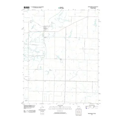 2010 Mindenmines2010 Print · USGSThe Missouri-Kansas border comes into focus in the early 2000s, centered on the grid of Mindenmines and the surrounding Cherokee Plains. Local historians can locate specific sites like the Mindenmines Post Office, Yale Cemetery, and the Moss Lake Dam reservoir.
 - 2010 Map of Asbury, 2010 Print
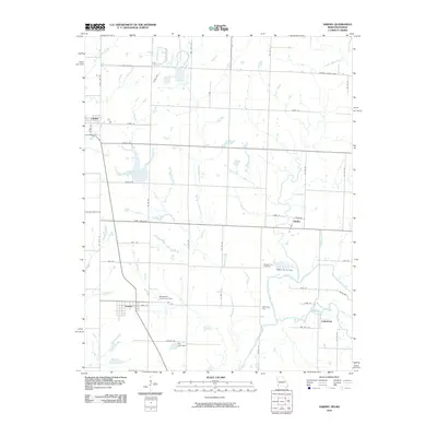 2010 Asbury2010 Print · USGSThe Missouri-Kansas borderlands come into focus in this recent study of Jasper County and its neighboring tracts. Genealogists and local historians can trace the positions of Georgia City, Asbury, and Medoc, or locate the Georgia City Cemetery near the banks of the Spring River.
 - 2010 Map of Carl Junction, 2010 Print
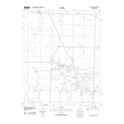 2010 Carl Junction2010 Print · USGSThe Missouri-Kansas borderlands come into focus at a time of suburban expansion northwest of Joplin. Genealogists and local historians can trace the foundations of old mining settlements like Klondike and Smithfield or locate family plots in Waco Cemetery and Howard Cemetery.
 - 2010 Map of Joplin West, 2010 Print
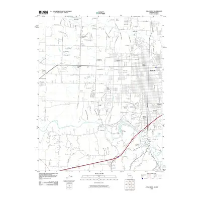 2010 Joplin West2010 Print · USGSJoplin and its western Missouri suburbs are shown in detail during the early twenty-first century as the city expanded toward the Kansas border. Genealogists can locate several memorial sites including Peace Church Cemetery and Parkway Cemetery or trace the early industrial landscape near Redings Mill.
 - 2010 Map of Amazonia, 2010 Print
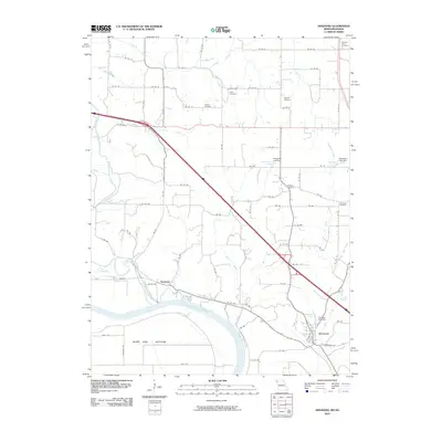 2010 Amazonia2010 Print · USGSNorth of the Missouri River in the early 2000s, this area shows the historic settlements and drainage of Andrew County. Genealogists can locate several family-named landmarks and rural burial sites like Old Union Cemetery, Jackson Cemetery, and Nodaway.
 - 2010 Map of Parkville, 2010 Print
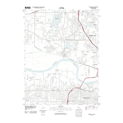 2010 Parkville2010 Print · USGSThe Missouri River corridor near Kansas City is captured here during a period of significant suburban expansion and residential development. You can trace established neighborhoods and local landmarks like Saint Marys Cemetery, Weatherby Lake, and the Parkville Post Office.
 - 2010 Map of Big Lake, 2010 Print
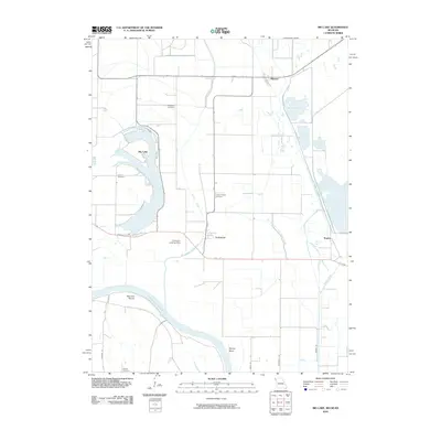 2010 Big Lake2010 Print · USGSThe Missouri River floodplains of Holt County are captured here in the early twenty-first century, showing a landscape defined by oxbows and river management. Researchers can trace family history through sites like Tarkio Chapel Cemetery or explore the shifting waters of Big Lake and the Old Channel Tarkio River.
 - 2010 Map of Rulo, 2010 Print
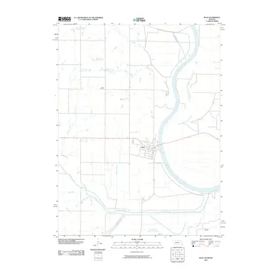 2010 Rulo2010 Print · USGSRulo and its riverside surroundings in the early twenty-first century show a landscape defined by the Missouri River and the winding Big Nemaha River. Local researchers can trace family roots at Heater Cemetery or Franklin Cemetery and study the complex waterways of the Old Channel Big Nemaha River.
 - 2010 Map of Bayouville, 2010 Print
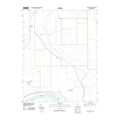 2010 Bayouville2010 Print · USGSMississippi County, Missouri, is captured at the turn of the century as a landscape of river landings and flood-control engineering. Traces of rural life are preserved at Pinhook, Sugar Tree Ridge, and the Barker Cemetery along the banks of James Bayou.
 - 2010 Map of Clearmont, 2010 Print
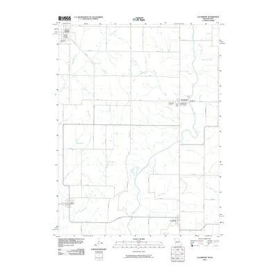 2010 Clearmont2010 Print · USGSThe Nodaway River valley at the Missouri-Iowa border comes into focus in this late-period survey of rural Page and Nodaway counties. Researchers can trace the exact layouts of Clearmont, Elmo, and Braddyville, or locate family sites at Maple Hill Cemetery and Pruitt Lake.
 - 2010 Map of Wyatt, 2010 Print
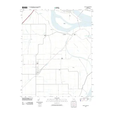 2010 Wyatt2010 Print · USGSThe convergence of the Ohio and Mississippi Rivers dominates this Missouri and Illinois borderland during the early twenty-first century. Genealogists and local historians can trace small river-plain settlements like Wilson City and Wyatt or locate family plots at Bird Cemetery and Allen Cemetery.
 - 2010 Map of Arlington, 2010 Print
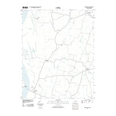 2010 Arlington2010 Print · USGSWestern Kentucky's riverfront and agricultural heartland are shown here in the years following the millennium. Genealogists and historians can trace family locations through numerous named sites like Taylor Cemetery, Belmont Landing, and Allred Cemetery.
 - 2010 Map of Wickliffe, 2010 Print
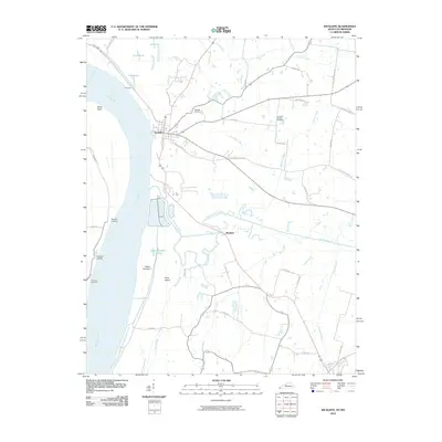 2010 Wickliffe2010 Print · USGSThe Kentucky-Missouri borderlands along the Mississippi River come to life in this early twenty-first-century survey. Local historians can trace river landings and rural roots through features like Pritchard Landing, Winford, and the Harrison-Hughes Cemetery.
 - 2010 Map of New Madrid, 2010 Print
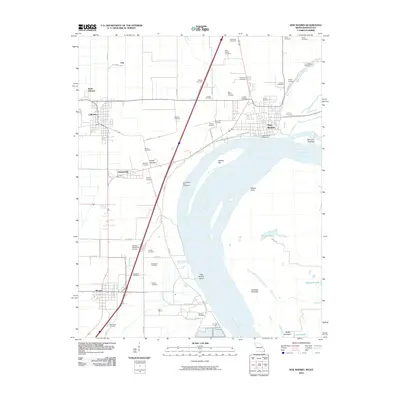 2010 New Madrid2010 Print · USGSNew Madrid and the legendary river bend are captured here in the early twenty-first century as the landscape balances river engineering with deep local roots. Genealogists can locate dozens of burial sites including Saint Marys Cemetery and A C LaForge Cemetery, while tracing the paths of Old Kingshighway and the banks of Saint Johns Bayou.
 - 2010 Map of Wolf Island, 2010 Print
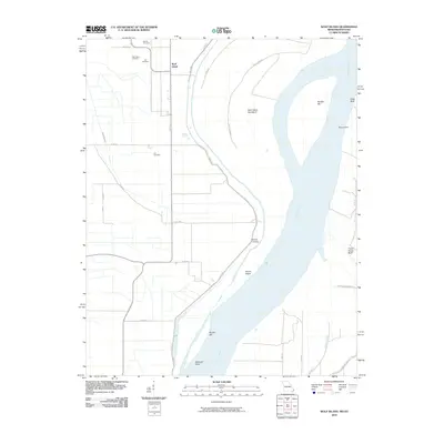 2010 Wolf Island2010 Print · USGSThe Missouri-Kentucky borderlands along the Mississippi River are captured here in the early twenty-first century. Genealogists and historians can locate numerous burial sites such as Ivie Cemetery and Lee Cemetery near the settlement of Wolf Island.
 - 2010 Map of Hubbard Lake, 2010 Print
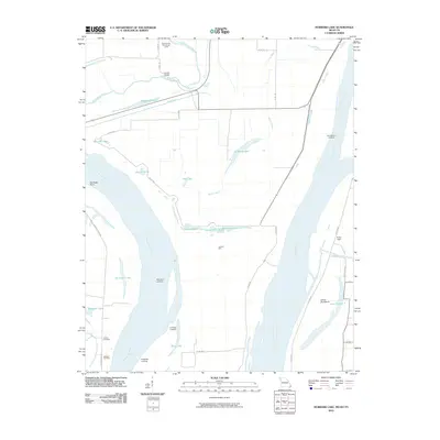 2010 Hubbard Lake2010 Print · USGSThe alluvial plains of Missouri and Kentucky are shown here in the early twenty-first century, centered on a complex of river landings and oxbow lakes. Trace family history and river commerce at Henderson Landing, Adams Cemetery, and the geographic curiosity of Kentucky Point.
 - 2010 Map of Wickliffe SW, 2010 Print
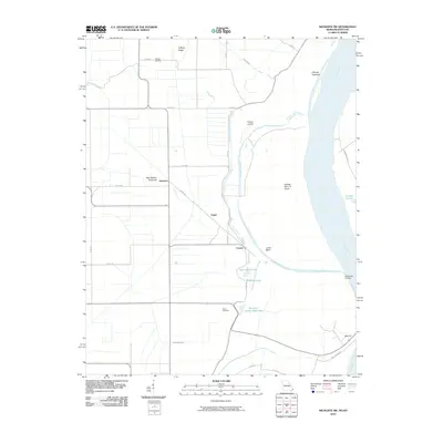 2010 Wickliffe SW2010 Print · USGSThe Mississippi River lowlands of Missouri and Kentucky appear here just after the turn of the millennium. Researchers can trace family history through the O'Bryan Cemetery and explore river-bound landmarks like Lucas Bend and O'Bryan Landing.
 - 2010 Map of Sheridan, 2010 Print
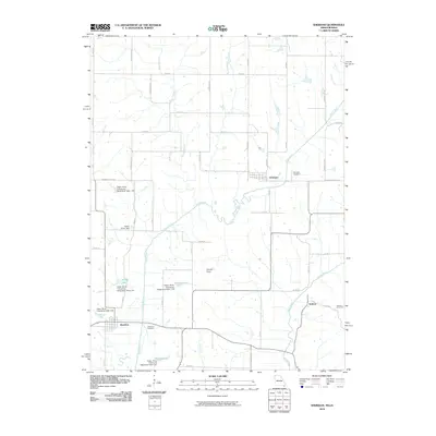 2010 Sheridan2010 Print · USGSThe Missouri-Iowa border comes into focus in this study of Worth County, showing the agricultural landscape in 2010. Genealogists can locate family sites near Sheridan Cemetery or Athelstan, while tracing the course of the Platte River and Grand River.
 - 2010 Map of Hopkins SW, 2010 Print
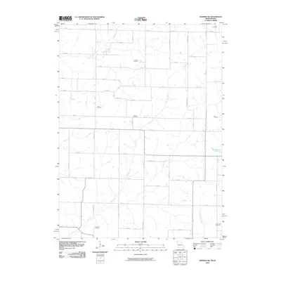 2010 Hopkins SW2010 Print · USGSNorthwest Missouri and southwest Iowa maintain a classic agrarian layout in this 2010 survey. Researchers can locate several historical burial grounds including Siam Cemetery, Hazel Dell Cemetery, and Burch Cemetery along a network of numbered rural roads.
 - 2010 Map of Kilwinning, 2010 Print
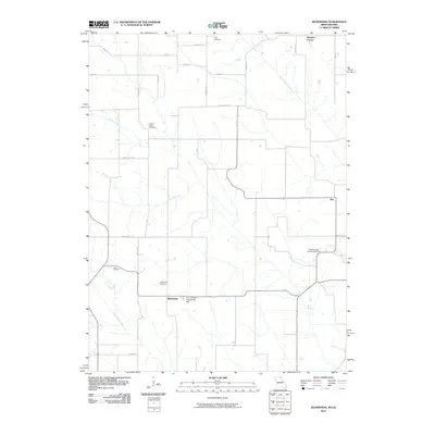 2010 Kilwinning2010 Print · USGSThe Missouri-Iowa borderlands come to life in this 2010 survey of the rural Scotland County countryside. Researchers can trace local heritage through burial sites like Sacred Heart Cemetery or find historic community hubs such as Four Corners Community Hall and Kilwinning.
 - 2010 Map of Hatfield, 2010 Print
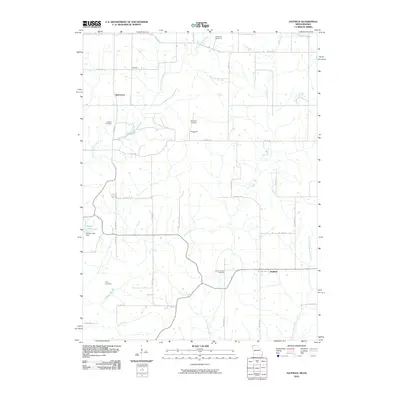 2010 Hatfield2010 Print · USGSCrossing the Missouri and Iowa state line, this 2010 survey shows a quiet agricultural region defined by its creek valleys and rural crossroads. Genealogists can locate family landmarks like Lincoln Center Cemetery or the small settlements of Hatfield and Ringgold.
 - 2010 Map of Hopkins, 2010 Print
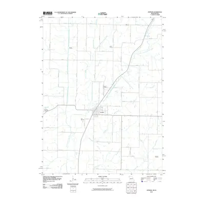 2010 Hopkins2010 Print · USGSNodaway County agriculture and river life are on full display in this 2010 map of the border country between Missouri and Iowa. Researchers can trace the complex drainage of the One Hundred and Two River while locating family sites like Hopkins Cemetery and Washburn Cemetery.
 - 2010 Map of Bunker Hill, 2010 Print
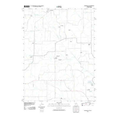 2010 Bunker Hill2010 Print · USGSDavis County's borderlands are detailed here in the early twenty-first century, showing a rural landscape of family cemeteries and small creek-side settlements. Genealogists can trace family landmarks like Bridwell Cemetery or locate the community at Lunsford.
 - 2010 Map of Wayland, 2010 Print
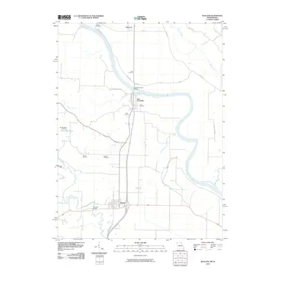 2010 Wayland2010 Print · USGSNortheast Missouri at the start of the 2010s shows a landscape deeply tied to the winding Des Moines River. Researchers can trace local lineage at Oak Hill Cemetery or locate old industrial sites like Moores Mill and the Saint Francisville Bridge.
 - 2010 Map of Pawnee, 2010 Print
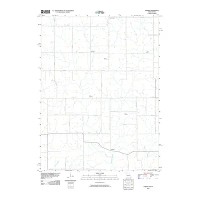 2010 Pawnee2010 Print · USGSHarrison County at the start of the decade reveals a landscape shaped by rural industry and tradition. Researchers can pinpoint several burial sites including Mount Zion Cemetery and Payne Cemetery along the banks of Wolf Creek.
Showing maps 1-25
Top cities of Missouri
- Kansas City historical maps
- St. Louis historical maps
- Springfield historical maps
- Columbia historical maps
- Independence historical maps
- Lee's Summit historical maps
See more
Top counties of Missouri
- Saint Louis County historical maps
- Jackson County historical maps
- Saint Charles County historical maps
- St. Louis historical maps
- Greene County historical maps
- Clay County historical maps
See more
Frequently asked questions
- What are the different types of historical maps available for Missouri?
- What is the oldest map of Missouri?
- Where can I purchase historical maps of Missouri for my home or office?
- Where can I download high-res historical maps of Missouri?
- Are there historical topographic maps available for Missouri?
- Is there historical aerial imagery available for Missouri?
- Where are historical maps of Missouri sourced from?