2020s Maps of Missouri
Explore 1,391 historic maps of Missouri from the 2020s. These maps offer a rare glimpse into what life looked like during the 2020s — showing old roads, neighborhoods, homes, and landmarks that have changed or disappeared over time.
Whether you're researching your family's past, planning a metal detecting trip, or studying how Missouri's landscape evolved across the 2020s, these high-resolution maps are a powerful tool for exploring the history of this region.
- Focus on a specific era: All maps on this page are from the 2020s, giving you a focused view of this time period.
- See what’s changed: Compare century-old streets, trails, and buildings to today's modern landscape using overlays and satellite layers.
- Research with precision: Use these maps for genealogy, historical research, land use analysis, or educational projects.
- View, download, or print: Maps are fully viewable online in high resolution, and can be downloaded or printed for your own records.
Start exploring Missouri's history through authentic maps from the 2020s. This is your window into the past.
Missouri maps
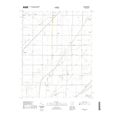
(1,391)- 2020 Map of Blytheville, 2020 Print
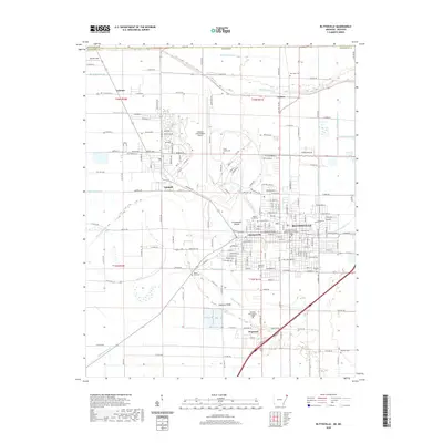 2020 Blytheville2020 Print · USGSCovers Missouri, including Blytheville, Gosnell, and other nearby areas
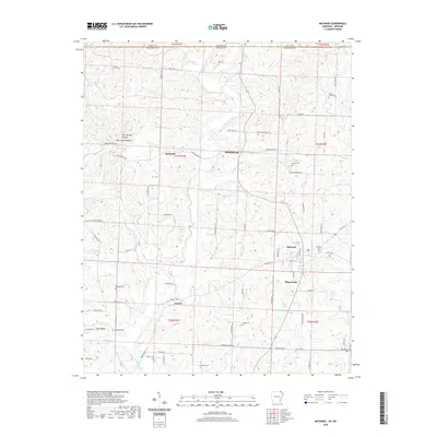
 - 2020 Map of Bentonville North, 2020 Print
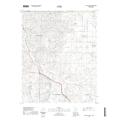 2020 Bentonville North2020 Print · USGSCovers Missouri, including Bentonville, Bella Vista, and other nearby areas
 - 2020 Map of Gravette, 2020 Print
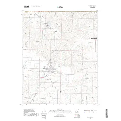 2020 Gravette2020 Print · USGSCovers Missouri, including Bella Vista, Gravette, and other nearby areas
 - 2020 Map of Armorel, 2020 Print
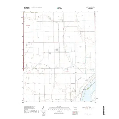 2020 Armorel2020 Print · USGSCovers Missouri, including Blytheville, Barfield, and other nearby areas
 - 2020 Map of Hardy NE, 2020 Print
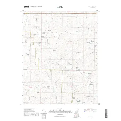 2020 Hardy NE2020 Print · USGSCovers Missouri, including Randolph County, Sharp County, and other nearby areas
 - 2020 Map of Warm Springs, 2020 Print
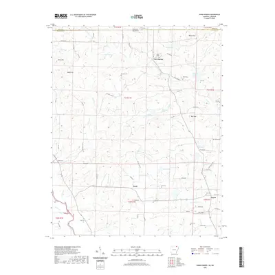 2020 Warm Springs2020 Print · USGSCovers Missouri, including Warm Springs, Palestine, and other nearby areas
 - 2020 Map of Piggott, 2020 Print
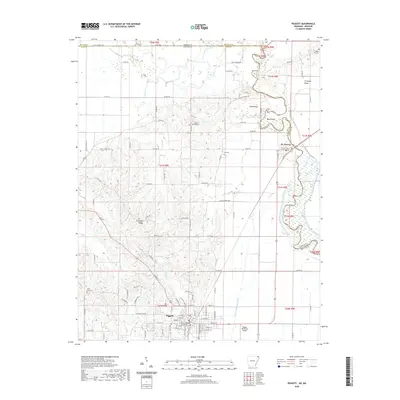 2020 Piggott2020 Print · USGSCovers Missouri, including Piggott, Saint Francis, and other nearby areas
 - 2020 Map of Paragould East, 2020 Print
 2020 Paragould East2020 Print · USGSCovers Missouri, including Paragould, Oak Grove Heights, and other nearby areas
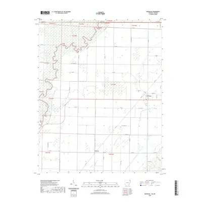
 - 2020 Map of Mounds, 2020 Print
 2020 Mounds2020 Print · USGSCovers Missouri, including Marmaduke, Mounds, and other nearby areas
 - 2020 Map of Maynard, 2020 Print
 2020 Maynard2020 Print · USGSCovers Missouri, including Maynard, Elkins Park, and other nearby areas
 - 2020 Map of McDougal, 2020 Print
 2020 McDougal2020 Print · USGSCovers Missouri, including McDougal, Hickoria, and other nearby areas
 - 2020 Map of Mammoth Spring, 2020 Print
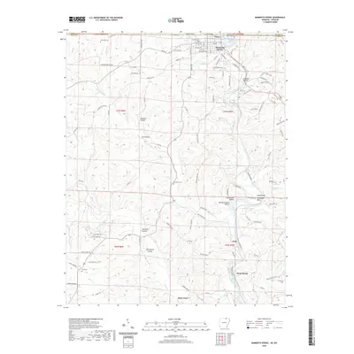 2020 Mammoth Spring2020 Print · USGSCovers Missouri, including Mammoth Spring, Baker Ford, and other nearby areas
 - 2020 Map of Datto, 2020 Print
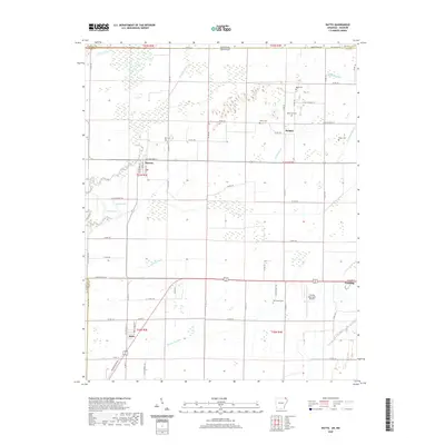 2020 Datto2020 Print · USGSCovers Missouri, including Corning, Success, and other nearby areas
 - 2020 Map of Dalton, 2020 Print
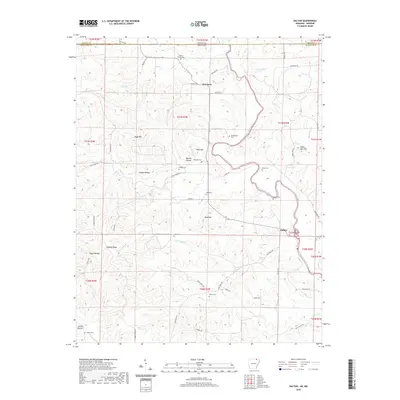 2020 Dalton2020 Print · USGSCovers Missouri, including Dalton, Elm Store, and other nearby areas
 - 2020 Map of Viola, 2020 Print
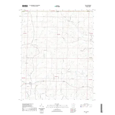 2020 Viola2020 Print · USGSCovers Missouri, including Viola, Flint Springs, and other nearby areas
 - 2020 Map of Pollard, 2020 Print
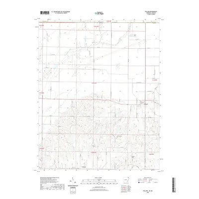 2020 Pollard2020 Print · USGSCovers Missouri, including Pollard, Crockett, and other nearby areas
 - 2020 Map of Corning, 2020 Print
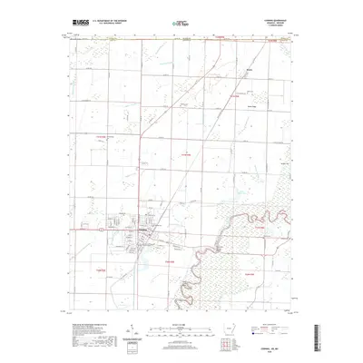 2020 Corning2020 Print · USGSCovers Missouri, including Corning, Moark, and other nearby areas
 - 2020 Map of Camp, 2020 Print
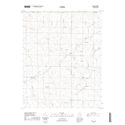 2020 Camp2020 Print · USGSCovers Missouri, including Camp, Fryatt, and other nearby areas
 - 2020 Map of Salem Knob, 2020 Print
 2020 Salem Knob2020 Print · USGSCovers Missouri, including Salem, Moko, and other nearby areas
 - 2020 Map of Supply, 2020 Print
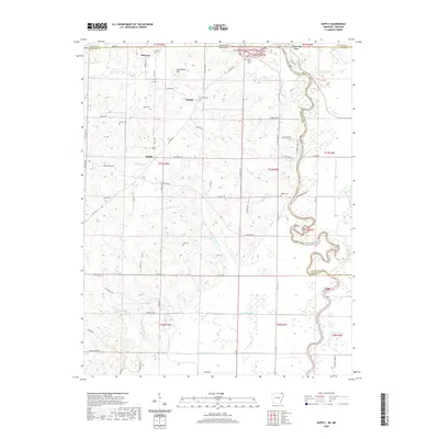 2020 Supply2020 Print · USGSCovers Missouri, including Current View, Current View, and other nearby areas
 - 2020 Map of Wirth, 2020 Print
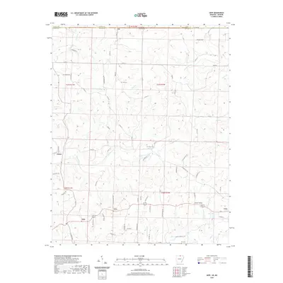
 2020 Wirth2020 Print · USGSCovers Missouri, including Wirth, Woodland Hills, and other nearby areas
 - 2020 Map of Diamond City, 2020 Print
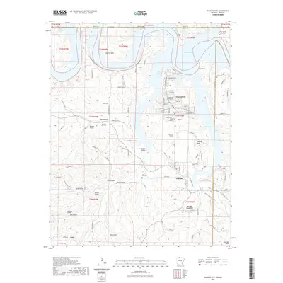 2020 Diamond City2020 Print · USGSCovers Missouri, including Diamond City, Lead Hill, and other nearby areas
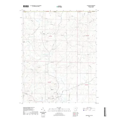
 - 2020 Map of Gepp, 2020 Print
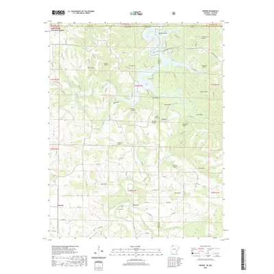
 2020 Gepp2020 Print · USGSCovers Missouri, including Viola, Ott, and other nearby areas
 - 2020 Map of Denver, 2020 Print
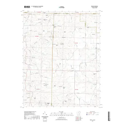
 2020 Denver2020 Print · USGSCovers Missouri, including Farewell, Denver, and other nearby areas
 - 2020 Map of Blue Eye, 2020 Print
 2020 Blue Eye2020 Print · USGSCovers Missouri, including Oak Grove, Blue Eye, MO, and other nearby areas
Showing maps 1-25 of 1,391
Top cities of Missouri
- Kansas City historical maps
- St. Louis historical maps
- Springfield historical maps
- Columbia historical maps
- Independence historical maps
- Lee's Summit historical maps
See more
Top counties of Missouri
- Saint Louis County historical maps
- Jackson County historical maps
- Saint Charles County historical maps
- St. Louis historical maps
- Greene County historical maps
- Clay County historical maps
See more
Frequently asked questions
- What are the different types of historical maps available for Missouri?
- What is the oldest map of Missouri?
- Where can I purchase historical maps of Missouri for my home or office?
- Where can I download high-res historical maps of Missouri?
- Are there historical topographic maps available for Missouri?
- Is there historical aerial imagery available for Missouri?
- Where are historical maps of Missouri sourced from?