2010s Maps of Morgan County, Missouri
Explore 57 historic maps of Morgan County from the 2010s. These maps offer a rare glimpse into what life looked like during the 2010s — showing old roads, neighborhoods, homes, and landmarks that have changed or disappeared over time.
Whether you're researching your family's past, planning a metal detecting trip, or studying how Morgan County's landscape evolved across the 2010s, these high-resolution maps are a powerful tool for exploring the history of this region.
- Focus on a specific era: All maps on this page are from the 2010s, giving you a focused view of this time period.
- See what’s changed: Compare century-old streets, trails, and buildings to today's modern landscape using overlays and satellite layers.
- Research with precision: Use these maps for genealogy, historical research, land use analysis, or educational projects.
- View, download, or print: Maps are fully viewable online in high resolution, and can be downloaded or printed for your own records.
Start exploring Morgan County's history through authentic maps from the 2010s. This is your window into the past.
Morgan County, MO maps
(57)- 2011 Map of Knobby, 2011 Print
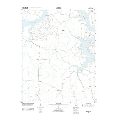 2011 Knobby2011 Print · USGSBenton County's winding lakefront and wooded ridges are captured here in the early twenty-first century. Genealogists and local researchers can trace family landmarks and rural hubs such as Cable Ridge Cemetery, Walkers Corner, and Lively.
 - 2011 Map of Otterville West, 2011 Print
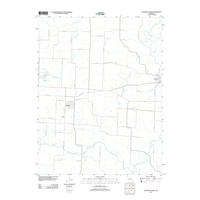 2011 Otterville West2011 Print · USGSThe Pettis County countryside near Smithton is captured here during the early twenty-first century, showing the enduring layout of rural Missouri settlements. Researchers can trace historic transit corridors like Butterfield Stage Rd and locate family sites near Smithton Cemetery or along Flat Creek.
 - 2011 Map of Boylers Mill, 2011 Print
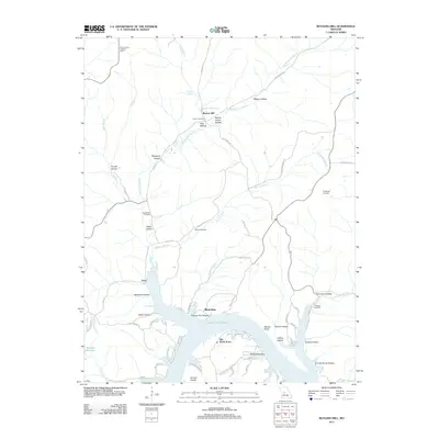 2011 Boylers Mill2011 Print · USGSThe northern Ozarks and the winding shores of the lake are shown here in the early twenty-first century. Genealogists and researchers can trace local family history through numerous landmarks like Frisch Cemetery, Boylers Mill, and the Mount Hulda Lookout Tower.
 - 2011 Map of Crockerville, 2011 Print
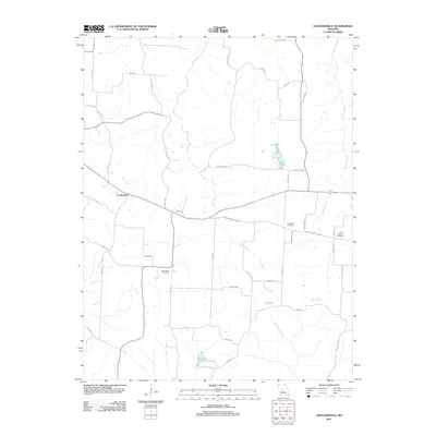 2011 Crockerville2011 Print · USGSCrockerville and the surrounding Morgan County countryside are shown here as they appeared in 2011. Genealogists and local historians can locate historic burial sites such as Old Stover Cemetery and Saint Johns Cemetery or trace the drainage of Haw Creek.
 - 2011 Map of Pyrmont, 2011 Print
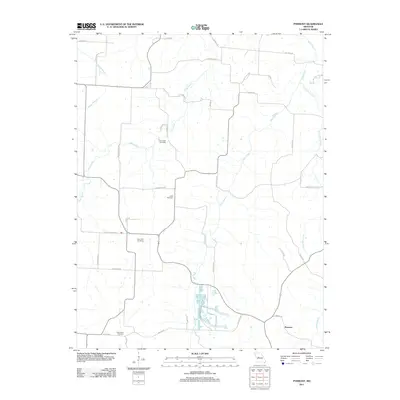 2011 Pyrmont2011 Print · USGSThe rural landscape around Pyrmont is captured here in the early 21st century, showing a community built around its creeks and country schools. Researchers can trace family history at Lamb Cemetery or explore old transit routes like the Butterfield Trl and Silver Mine Rd.
 - 2011 Map of Gravois Mills, 2011 Print
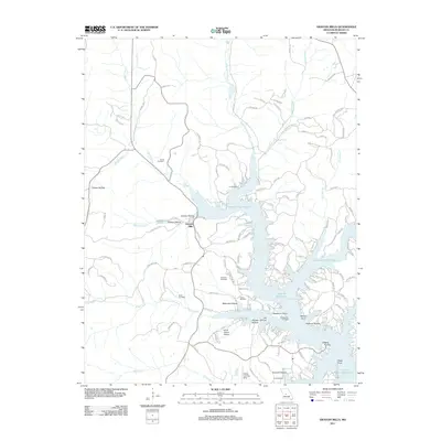 2011 Gravois Mills2011 Print · USGSMorgan County's lakeside community comes into focus during this early 21st-century period of development along the Gravois Arm. Family historians can locate numerous family-named burial grounds like Hume Cemetery and Sidebottom Cemetery or trace the drainage of Soap Creek.
 - 2011 Map of Bollinger Creek, 2011 Print
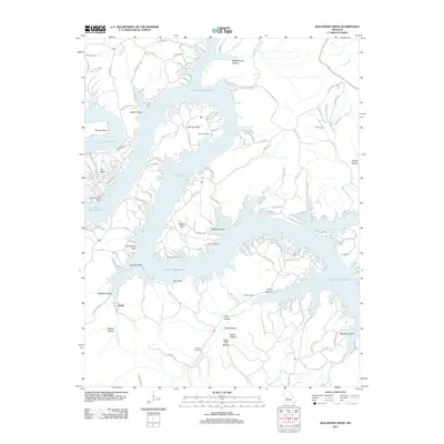 2011 Bollinger Creek2011 Print · USGSThe Camden County shoreline of the Lake of the Ozarks is captured here in the early twenty-first century. Genealogists can locate family burial sites at Parish Cemetery and Wilson Cemetery or trace the development of Ivy Bend.
 - 2011 Map of Florence, 2011 Print
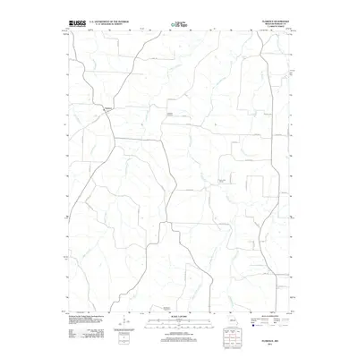 2011 Florence2011 Print · USGSFlorence and the surrounding Morgan County countryside are captured here just after the first decade of the new millennium. Researchers can trace local heritage through sites like Ebenezer Cemetery, Rocky Point School, and the historic Butterfield Trl.
 - 2011 Map of Proctor Creek, 2011 Print
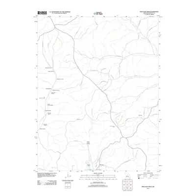 2011 Proctor Creek2011 Print · USGSNear the northern reaches of the Lake of the Ozarks in the early 2010s, this area is defined by its deep hollows and rural cemeteries. Genealogists and hikers can trace family-named landmarks like Coon Rod Hollow, the Ard-Menteer Cemetery, and the Proctor Lookout Tower.
 - 2011 Map of Lake Ozark, 2011 Print
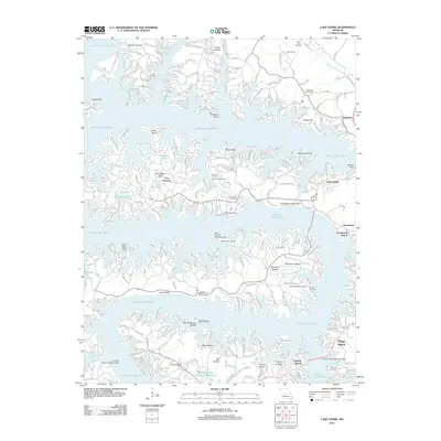 2011 Lake Ozark2011 Print · USGSThe Missouri Ozarks are showcased here during a period of significant resort growth and lakeside development. Researchers can trace historic family burial grounds like Riley Lamb Cemetery or locate specialized landmarks like the Tan Tar A Resort Seaplane Base and Bagnell Dam.
 - 2011 Map of Rocky Mount, 2011 Print
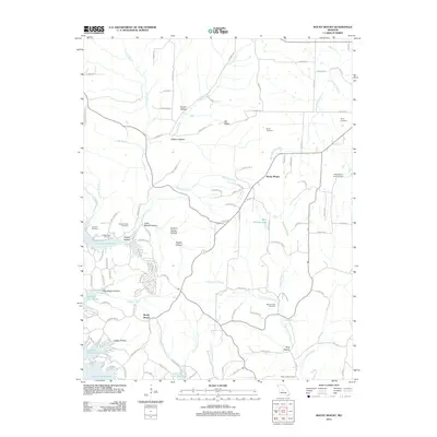 2011 Rocky Mount2011 Print · USGSRocky Mount and the northern reaches of the Lake of the Ozarks are shown here in the early twenty-first century. Genealogists can trace family burial sites like Blue Springs Cemetery and Taylor Cemetery near the Rocky Mount Lookout Tower.
 - 2011 Map of Latham, 2011 Print
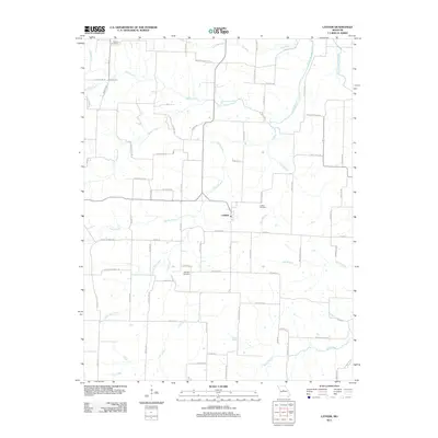 2011 Latham2011 Print · USGSMoniteau County at the start of the decade reveals a landscape of winding creek forks and quiet country crossroads. Genealogists can locate family burial plots at Moreau Cemetery and Highland Cemetery or trace the rural routes surrounding Latham.
 - 2011 Map of Stover, 2011 Print
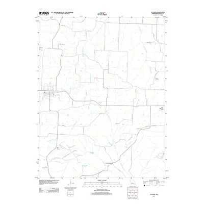 2011 Stover2011 Print · USGSMorgan County is shown here during a period of modern rural growth centered on the town of Stover. Researchers can locate several community landmarks including the Saint Paul Cemetery, the Devils Backbone ridge, and the Otten Memorial Airport.
 - 2011 Map of Fortuna, 2011 Print
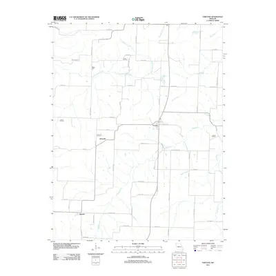 2011 Fortuna2011 Print · USGSThe agricultural landscape of central Missouri is captured here in the early twenty-first century, centered on rural hubs like Fortuna and Aikinsville. Genealogists can locate several local burial grounds, including Stone Cemetery, Liberty Cemetery, and Newkirk Cemetery.
 - 2011 Map of Tipton, 2011 Print
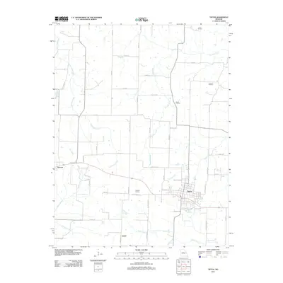 2011 Tipton2011 Print · USGSTipton and Syracuse anchor this central Missouri landscape during the early twenty-first century as agricultural and transport hubs. Genealogists can trace local history through several burial grounds, including the Masonic Cemetery and Chilton Cemetery.
 - 2011 Map of Versailles, 2011 Print
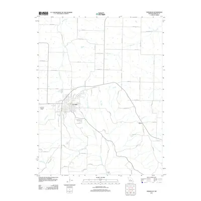 2011 Versailles2011 Print · USGSThe Morgan County seat comes to life in the early 2010s, showing the intersection of town life and the surrounding farm country. Researchers can trace local landmarks like Roy Otten Memorial Airfield or follow watercourses to James Mill Spring and the settlement of Marvin.
 - 2011 Map of Sunrise Beach, 2011 Print
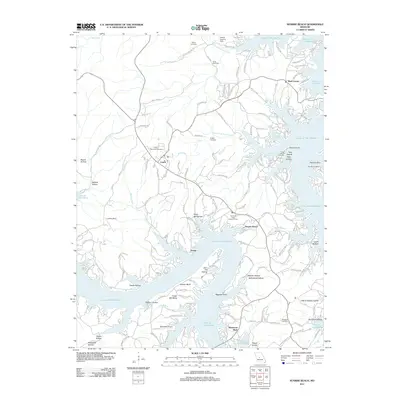 2011 Sunrise Beach2011 Print · USGSCamden County's shoreline and the communities of Sunrise Beach and Laurie are shown in high detail during the early 2010s. Researchers can trace family sites like Bond Cemetery or landmark infrastructure such as the Hurricane Deck Lookout Tower.
 - 2011 Map of Barnett, 2011 Print
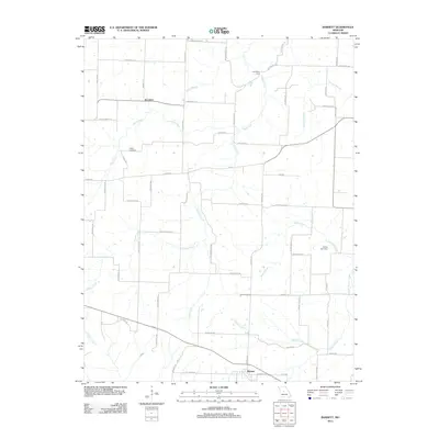 2011 Barnett2011 Print · USGSThis central Missouri landscape near the turn of the decade showcases the rural crossroads of Barnett and Excelsior. Researchers can trace local lineage at Kelsay Cemetery and locate historical water crossings like Coal Bank Ford along Burris Fork.
 - 2011 Map of Otterville East, 2011 Print
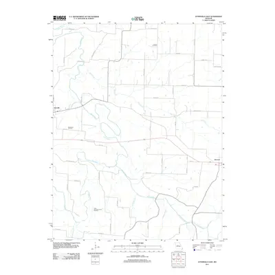 2011 Otterville East2011 Print · USGSEastern Cooper County is captured here in the early twenty-first century, showing the rural corridor between Otterville and Syracuse. Family history researchers can locate several burial grounds, including Antioch Cemetery and the Finley - Dinwiddie Family Cemetery.
 - 2014 Map of Crockerville, 2014 Print
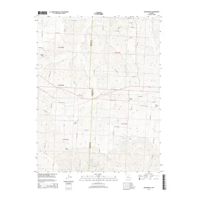 2014 Crockerville2014 Print · USGSBenton and Morgan counties are shown here in the early twenty-first century, featuring the rural settlement of Crockerville. Genealogists can trace local roots through several burial sites including Old Stover Cemetery and Saint Johns Cemetery along the banks of Haw Creek.
 - 2014 Map of Pyrmont, 2014 Print
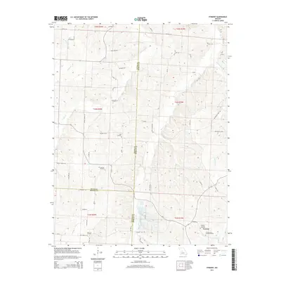 2014 Pyrmont2014 Print · USGSThe Morgan County countryside near Pyrmont is documented here as it appeared in the early twenty-first century. Researchers can trace the heritage of local families through numerous burial sites like Lake Creek Cemetery and Lamb Cemetery near Haw Cr.
 - 2014 Map of Otterville West, 2014 Print
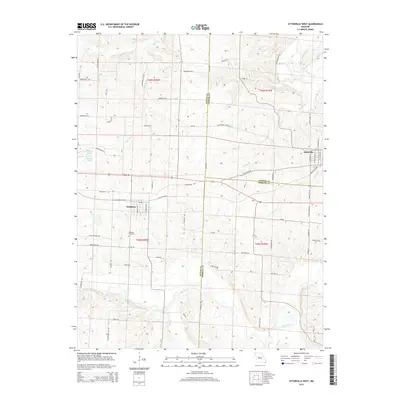 2014 Otterville West2014 Print · USGSMid-Missouri's agricultural heartland is documented here in the early twenty-first century as it spans the Pettis, Cooper, and Morgan county lines. Researchers can trace land patterns near Smithton, locate the Smithton Cemetery, and follow the historic Butterfield Stage RD.
 - 2014 Map of Boylers Mill, 2014 Print
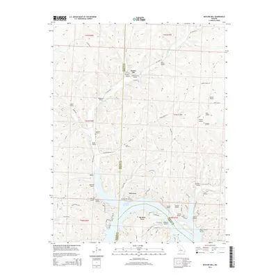 2014 Boylers Mill2014 Print · USGSThe northern reaches of the Lake of the Ozarks are captured here in the early twenty-first century, showing the evolving shoreline near the Benton and Morgan county lines. Genealogists can trace family landmarks and burial sites like Shiloh Cemetery, Boylers Mill, and Franklin Cemetery.
 - 2015 Map of Barnett, 2015 Print
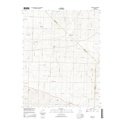 2015 Barnett2015 Print · USGSBarnett and the rural crossroads of Morgan County are shown here during the mid-2010s, capturing the area's agricultural character. Researchers can trace family history at Big Rock Cemetery and Hopewell Union Church Cemetery or follow the waters of Burris Fork and Gracey Cr.
 - 2015 Map of Fortuna, 2015 Print
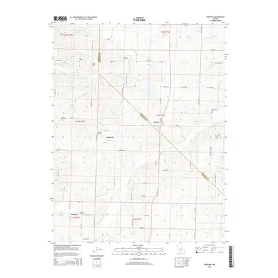 2015 Fortuna2015 Print · USGSThe rural borders of Morgan and Moniteau Counties come into focus in this mid-2010s survey of Missouri farm country. Researchers can trace family history through a high density of rural burial sites like Stone Cemetery, Alkinsville Cemetery, and Newkirk Cemetery.
Showing maps 1-25 of 57
Top cities of Morgan County
- Versailles historical maps
- Stover historical maps
- Laurie historical maps
- Barnett historical maps
- Gravois Mills historical maps
- Syracuse historical maps
Frequently asked questions
- What are the different types of historical maps available for Morgan County?
- What is the oldest map of Morgan County?
- Where can I purchase historical maps of Morgan County for my home or office?
- Where can I download high-res historical maps of Morgan County?
- Are there historical topographic maps available for Morgan County?
- Is there historical aerial imagery available for Morgan County?
- Where are historical maps of Morgan County sourced from?