2000s (21st Century) Maps of Blaine County, Montana
Explore 538 historic maps of Blaine County from the 2000s (21st Century). These maps offer a rare glimpse into what life looked like during the 2000s — showing old roads, neighborhoods, homes, and landmarks that have changed or disappeared over time.
Whether you're researching your family's past, planning a metal detecting trip, or studying how Blaine County's landscape evolved across the 2000s, these high-resolution maps are a powerful tool for exploring the history of this region.
- Focus on a specific era: All maps on this page are from the 2000s, giving you a focused view of this time period.
- See what’s changed: Compare century-old streets, trails, and buildings to today's modern landscape using overlays and satellite layers.
- Research with precision: Use these maps for genealogy, historical research, land use analysis, or educational projects.
- View, download, or print: Maps are fully viewable online in high resolution, and can be downloaded or printed for your own records.
Start exploring Blaine County's history through authentic maps from the 2000s. This is your window into the past.
Blaine County, MT maps
(538)- 2011 Map of John Coulee, 2011 Print
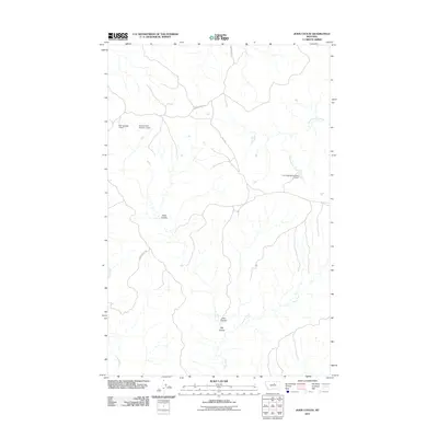 2011 John Coulee2011 Print · USGSThis rural portion of Blaine County, Montana, is captured during the early 21st century when ranching infrastructure and seasonal water management shaped the local landscape. Researchers can trace the drainage patterns of John Coulee and locate specific water resources like Noel Number 1 Dam and the Fort Belknap Number 21 Dam.
 - 2011 Map of Crazyman Coulee, 2011 Print
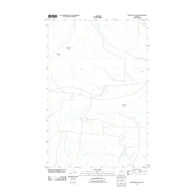 2011 Crazyman Coulee2011 Print · USGSIn this northern Montana landscape during the early 2010s, ranching and water rights define the terrain. Genealogists and historians can trace named landmarks like Crazyman Coulee, Brockie Spring, and the path of Rte 127.
 - 2011 Map of Bear Mountain, 2011 Print
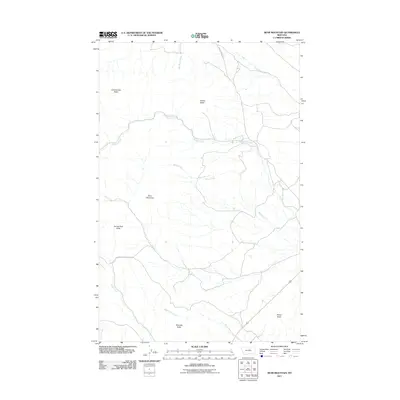 2011 Bear Mountain2011 Print · USGSThe Lodge Pole District of Montana is seen here in the early twenty-first century, a landscape defined by isolated peaks and seasonal drainages. Researchers can trace the terrain from Bear Mountain to named landmarks like Coming Day Butte and Travois Butte.
 - 2011 Map of Cow Island, 2011 Print
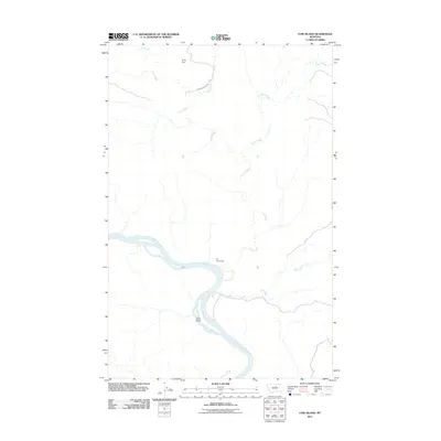 2011 Cow Island2011 Print · USGSThe Missouri River breaks of northern Montana are shown in detail during the early 21st century. Historians can trace the isolation of the Kip Homestead and landmarks like Cow Island and Sixty Dam in this sparsely populated landscape.
 - 2011 Map of Baker Monument, 2011 Print
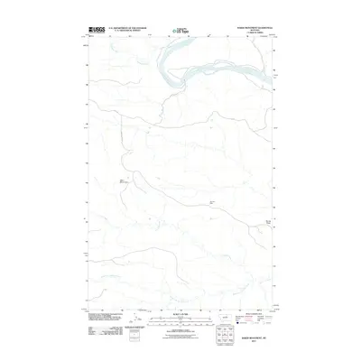 2011 Baker Monument2011 Print · USGSThe Missouri River breaks through the northern plains of Fergus County in the early twenty-first century. Researchers can trace the path of the D-Y Trl past landmarks like the Baker Monument and the distant Gumbo Dam.
 - 2011 Map of Zortman, 2011 Print
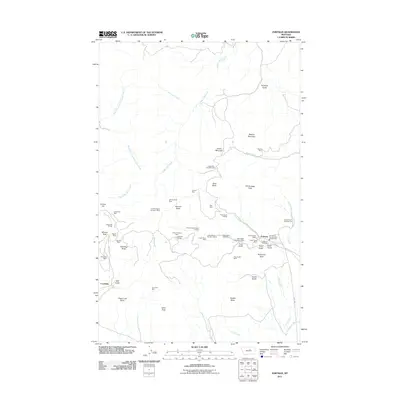 2011 Zortman2011 Print · USGSZortman and Landusky appear at a peak of modern mining activity in these Montana highlands. Researchers can trace the extensive legacy of extraction through dozens of named sites, including the August Mine, Zortman Cemetery, and Ruby Gulch Tailings.
 - 2011 Map of Corrigan Mountain, 2011 Print
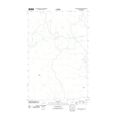 2011 Corrigan Mountain2011 Print · USGSBlaine County's high plains are documented here in the early twenty-first century, showcasing the sparse network of ranch roads and seasonal drainages. Researchers can trace the paths of Lloyd Rd and Cleveland Rd past landmarks like Corrigan Mountain and Bird Tail Butte.
 - 2011 Map of Havre NE, 2011 Print
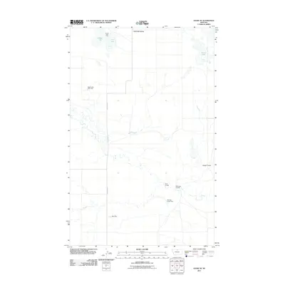 2011 Havre NE2011 Print · USGSHill County, Montana, is documented in the early twenty-first century, revealing a landscape of prairie water management and communal settlement. Trace the local topography through the intricate drainages of Badger Coulee and uniquely named sites like Mistress Leader Dam.
 - 2011 Map of North Chinook Reservoir, 2011 Print
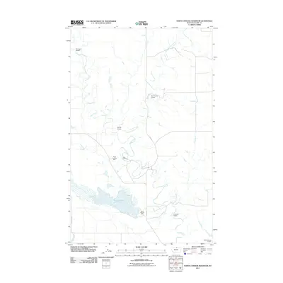 2011 North Chinook Reservoir2011 Print · USGSBlaine County's high plains water systems are meticulously detailed in this early twenty-first-century survey. Hydrologists and local historians can trace the intricate network of North Chinook Reservoir and distinctive landmarks like the Mister Flaming Jet Dam.
 - 2011 Map of Cleveland, 2011 Print
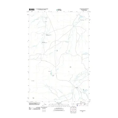 2011 Cleveland2011 Print · USGSThe ranching country of Blaine County is captured here in the early twenty-first century, centered on the community of Cleveland. Researchers can trace the water rights and land use of the era through features like Ross Lake, Faber Reservoir, and the Gordon Cattle Company Number 1 Dam.
 - 2011 Map of Scotty Butte, 2011 Print
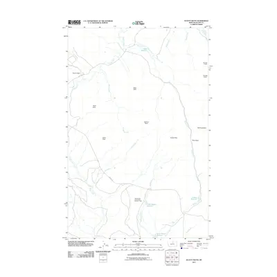 2011 Scotty Butte2011 Print · USGSBlaine County's high plains are documented here in the early twenty-first century, showing a landscape defined by ranching and water engineering. Trace the relationship between natural landmarks like Scotty Butte and man-made features such as Dalberg Reservoir and the General AG Corporation Number 1 Dam.
 - 2011 Map of Lohman SE, 2011 Print
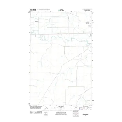 2011 Lohman SE2011 Print · USGSBlaine County ranch lands and river bottoms come into focus in this early twenty-first-century survey of the Lohman area. Researchers can trace the winding Milk River, locate family plots at Saint Gabriel Cemetery, and identify water infrastructure like the Epstlon Dam.
 - 2011 Map of Reservoir Coulee, 2011 Print
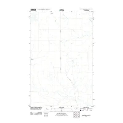 2011 Reservoir Coulee2011 Print · USGSBlaine County's high plains are documented here in the early twenty-first century, showing a remote landscape shaped by water management and ranching roads. Researchers can trace land use through features like Miss Doll Dial Dam, Badger Claws Dam, and Lonesome Rd.
 - 2011 Map of Miles Butte, 2011 Print
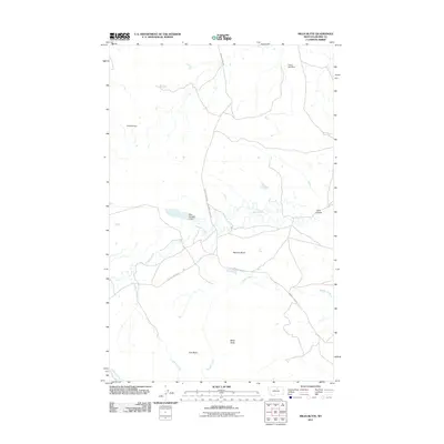 2011 Miles Butte2011 Print · USGSBlaine County's open ranching country is documented here in the early twenty-first century, featuring a landscape shaped by vital water management. Researchers can locate specific water works like Yukon Jack Dam and Kuhr Number 2 Dam or trace the geography of Miles Butte.
 - 2011 Map of Lohman, 2011 Print
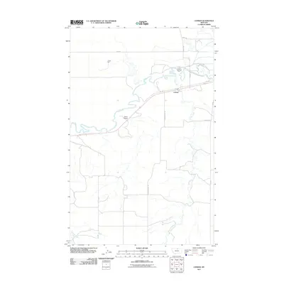 2011 Lohman2011 Print · USGSLohman and the northern Montana plains are documented here in the early twenty-first century as the landscape transitioned through modern ranching and water management. Researchers can trace the winding Milk River and locate landmarks like the Fort Belknap Dam and L Krott Dam.
 - 2011 Map of Sayer Butte, 2011 Print
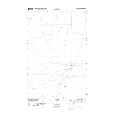 2011 Sayer Butte2011 Print · USGSBlaine County's high plains and drainage systems are captured here in the early twenty-first century. Researchers can trace the intersection of geography and industry by locating the Rader Mine, the waters of Grasshopper Reservoir, and landmarks like Sayer Butte.
 - 2011 Map of Big John Butte, 2011 Print
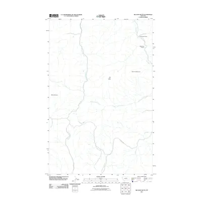 2011 Big John Butte2011 Print · USGSHill County is captured here in the early twenty-first century, showcasing the northern reach of the high plains mountains. Local historians can trace the paths of Little Boxelder Creek Rd and Clear Creek Rd past Big John Butte and Moses Mountain.
 - 2011 Map of Havre SE, 2011 Print
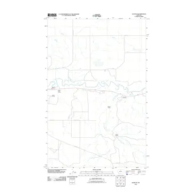 2011 Havre SE2011 Print · USGSHill County at the start of the 2010s shows a landscape of deep coulees and winding northern waterways. Researchers can trace rural property access and landmarks like Havre Rural Fire Dist, Drunk Rd, and the meandering Milk River.
 - 2011 Map of Cleveland NE, 2011 Print
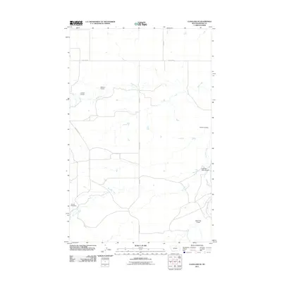 2011 Cleveland NE2011 Print · USGSBlaine County's high plains are documented here in the early twenty-first century, showing the rural landscape north of the Milk River. Researchers can trace land use through the drainage patterns of Snake Creek and find local landmarks like German Bread Dam.
 - 2011 Map of Blue Stone Peak, 2011 Print
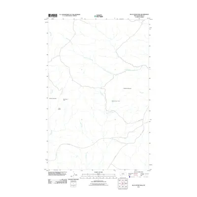 2011 Blue Stone Peak2011 Print · USGSBlaine County's high-altitude ranching country is captured here during the early 21st century. Researchers can trace land use through features like the Moore Number 1 Dam or navigate the remote terrain near Blue Stone Peak and Sawtooth Mountain.
 - 2011 Map of Rattlesnake, 2011 Print
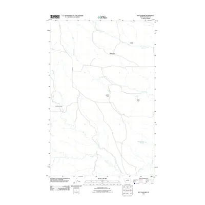 2011 Rattlesnake2011 Print · USGSBlaine County's high plains in the early twenty-first century are defined by an intricate web of coulees and water management sites. Researchers can trace the heritage of local land use through features like Coal Mine Coulee, Suction Creek Reservoir, and the Rattlesnake settlement.
 - 2011 Map of Richmond Reservoir, 2011 Print
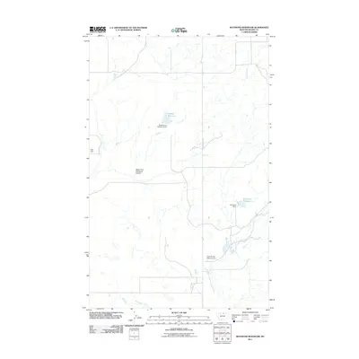 2011 Richmond Reservoir2011 Print · USGSBlaine County's high plains are revealed in this early twenty-first-century survey of Montana's open range and water infrastructure. Trace the essential network of dams and basins such as Harbolt Reservoir, Richmond Dam, and the Battle Horse Reservoir Dam.
 - 2011 Map of Richmond Reservoir NE, 2011 Print
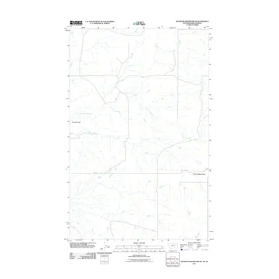 2011 Richmond Reservoir NE2011 Print · USGSBlaine County ranchlands along the Montana-Saskatchewan border are captured here during the early twenty-first century. Researchers can trace the path of East Fork Battle Creek and locate local landmarks like Cherry Ridge Ranch and Bennett Coulee.
 - 2011 Map of Lloyd, 2011 Print
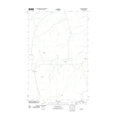 2011 Lloyd2011 Print · USGSLloyd and its surrounding rangeland are captured here in the early twenty-first century, showing the remote ranching and mining hubs of Blaine County. Researchers can locate the Lloyd Post Office and O'Hanlon Mine or trace the drainages of Snake Creek and Gold Creek.
 - 2011 Map of Telescope Coulee, 2011 Print
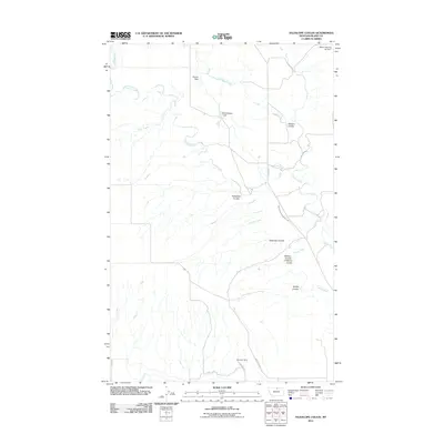 2011 Telescope Coulee2011 Print · USGSBlaine County's high plains are revealed in this modern survey, showcasing a landscape carved by seasonal coulees and irrigation efforts. Researchers can locate specific water management sites like Skoyen Dam and the historic Milk River Mine along Coal Mine Rd.
Showing maps 1-25 of 538
Top cities of Blaine County
Frequently asked questions
- What are the different types of historical maps available for Blaine County?
- What is the oldest map of Blaine County?
- Where can I purchase historical maps of Blaine County for my home or office?
- Where can I download high-res historical maps of Blaine County?
- Are there historical topographic maps available for Blaine County?
- Is there historical aerial imagery available for Blaine County?
- Where are historical maps of Blaine County sourced from?