2020s Maps of Blaine County, Montana
Explore 216 historic maps of Blaine County from the 2020s. These maps offer a rare glimpse into what life looked like during the 2020s — showing old roads, neighborhoods, homes, and landmarks that have changed or disappeared over time.
Whether you're researching your family's past, planning a metal detecting trip, or studying how Blaine County's landscape evolved across the 2020s, these high-resolution maps are a powerful tool for exploring the history of this region.
- Focus on a specific era: All maps on this page are from the 2020s, giving you a focused view of this time period.
- See what’s changed: Compare century-old streets, trails, and buildings to today's modern landscape using overlays and satellite layers.
- Research with precision: Use these maps for genealogy, historical research, land use analysis, or educational projects.
- View, download, or print: Maps are fully viewable online in high resolution, and can be downloaded or printed for your own records.
Start exploring Blaine County's history through authentic maps from the 2020s. This is your window into the past.
Blaine County, MT maps
(216)- 2020 Map of North Chinook Reservoir NW OE N, 2020 Print
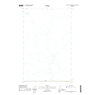 2020 North Chinook Reservoir NW OE N2020 Print · USGSThe international borderlands of Hill County come into focus in this contemporary survey of the high plains. A researcher can trace the precise demarcated boundary of Canada across an open landscape defined by its natural drainage and remote topography.
 - 2020 Map of North Chinook Reservoir NE OE N, 2020 Print
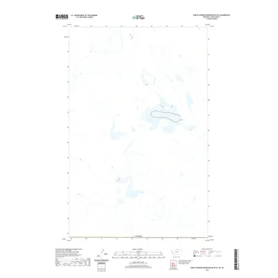 2020 North Chinook Reservoir NE OE N2020 Print · USGSMontana's northern borderlands are captured in this modern survey, focusing on the remote hydrology just south of the international line. Researchers can trace the precise boundary with Canada across a landscape of intricate drainage patterns and seasonal wetlands.
 - 2020 Map of Baker Monument, 2020 Print
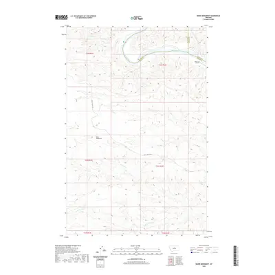 2020 Baker Monument2020 Print · USGSThe Missouri River breaks of Central Montana are captured here in the 2020s, showing a remote landscape where three counties meet. Researchers can trace the rugged topography around Baker Monument, the Heller Farm Airport, and the winding Two Calf Cr.
 - 2020 Map of Sandpiper Reservoir, 2020 Print
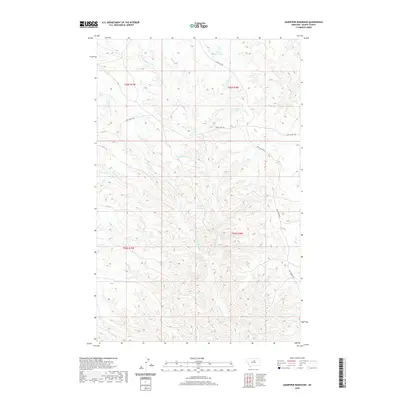 2020 Sandpiper Reservoir2020 Print · USGSBlaine County's high plains and drainage networks are captured here during the early twenty-first century. Researchers can trace historic routes like the Cow Island Trl and locate vital water resources including Sandpiper Reservoir and Blanch Reservoir.
 - 2020 Map of Bear Mountain, 2020 Print
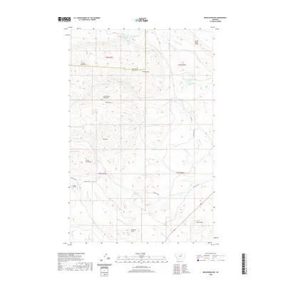 2020 Bear Mountain2020 Print · USGSThe high peaks of the Little Rocky Mountains are captured here in the early twenty-first century. Researchers can trace the drainages of Beauchamp Cr or locate specific landmarks like Zortman Airport and Travois Butte.
 - 2020 Map of Cow Island, 2020 Print
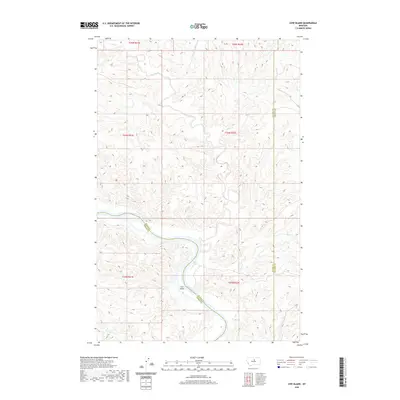 2020 Cow Island2020 Print · USGSThe Missouri River breaks and high plains of Montana are surveyed here during the late 2010s. Researchers can trace the winding river corridor around Cow Island and follow drainage systems like Kills-at-Night Cr and Cow Creek.
 - 2020 Map of Council Island, 2020 Print
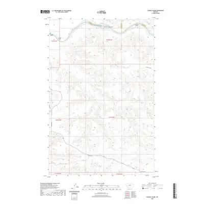 2020 Council Island2020 Print · USGSThe Missouri River breaks through the Montana high plains at the meeting point of three counties in this modern topographical study. Trace the river's hazardous navigation through Holmes Rapids and locate isolated landmarks like Council Island and Iron City Islands.
 - 2020 Map of Zortman, 2020 Print
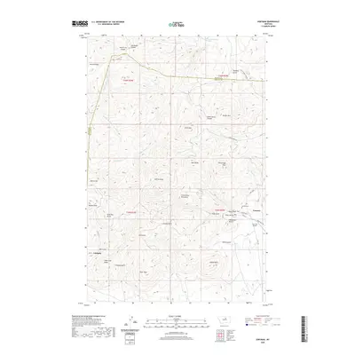 2020 Zortman2020 Print · USGSThe mining-era settlements of the Little Rocky Mountains are documented in 2020. Local researchers can trace family sites near Zortman, Landusky, and the Zortman Cem, or locate landmarks like Gold Bug Butte.
 - 2020 Map of Bird Rapids, 2020 Print
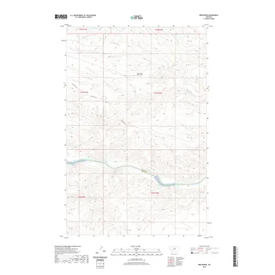 2020 Bird Rapids2020 Print · USGSThe Missouri River breaks of Montana are captured here during the twenty-first century, showing the river winding through the Blaine and Fergus county line. Researchers can trace the rugged shoreline and identify river features like Bird Rapids and landmarks such as Castle Bluffs.
 - 2020 Map of Taffy Ridge, 2020 Print
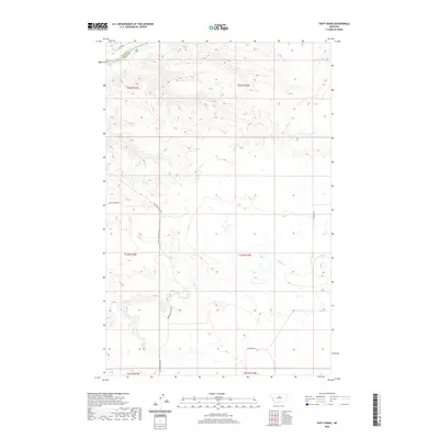 2020 Taffy Ridge2020 Print · USGSThe Missouri River breaks across the northern Montana landscape in the twenty-first century, marking the border between Fergus and Blaine Counties. Researchers can trace historic access routes like Stafford Ferry Rd and natural landmarks such as Dauphin Rapids and Taffy Cr.
 - 2020 Map of Butch Reservoir, 2020 Print
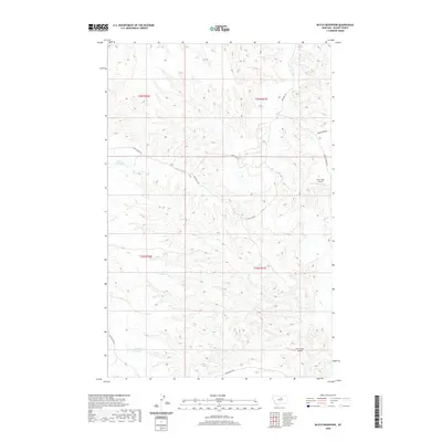 2020 Butch Reservoir2020 Print · USGSBlaine County's high plains are revealed in this modern survey of the ranchlands and reservoirs north of the Missouri River. Genealogists and historians can trace the paths of Cow Island Trl and Bullwacker Rd or locate remote sites like Cow Creek Airport and Butch Reservoir.
 - 2020 Map of Nolan Reservoir, 2020 Print
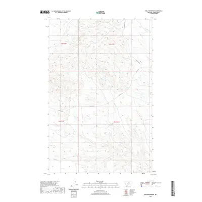 2020 Nolan Reservoir2020 Print · USGSBlaine County in 2020 remains a landscape of historic trails and essential water sources. You can trace the path of the Cow Island Trl past Nolan Reservoir and find the location of the remote Bear Paw Springs.
 - 2020 Map of Eskay NE, 2020 Print
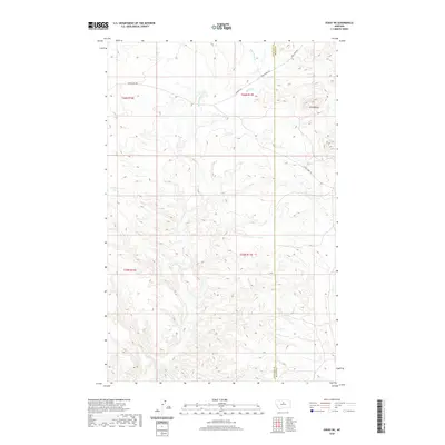 2020 Eskay NE2020 Print · USGSChouteau and Blaine counties are shown in this recent Montana survey, highlighting the remote landscape north of the Missouri River. Researchers can trace historic transit corridors like the Cow Island Trl and family-named landmarks such as Echo Butte.
 - 2020 Map of Saddle Rock, 2020 Print
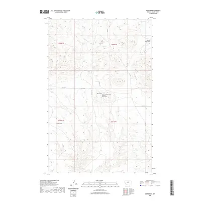 2020 Saddle Rock2020 Print · USGSBlaine County's high plains are revealed in this modern survey of the ranchlands and coulees north of the Missouri River. Genealogists and historians can trace the paths of Cow Island Trl and Lloyd Rd as they navigate around Saddle Rock and the forks of Black Coulee.
 - 2020 Map of Ragland Bench, 2020 Print
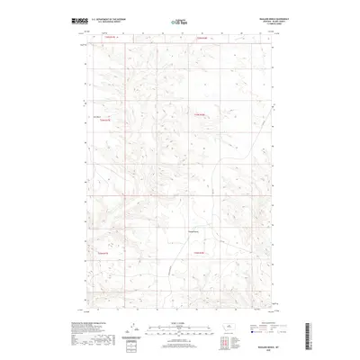 2020 Ragland Bench2020 Print · USGSBlaine County's high plains are captured in the early twenty-first century, showing the remote ranching country north of the Bear Paw Mountains. Researchers can trace land boundaries across Ragland Bench and follow the paths of Lloyd Rd and Raglan Ridge Rd.
 - 2020 Map of Chase Hill, 2020 Print
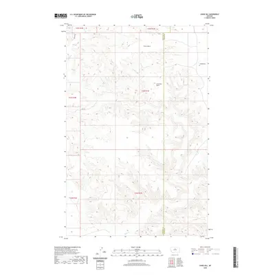 2020 Chase Hill2020 Print · USGSThe border of Chouteau and Blaine counties meets in this high-plains region during the early twenty-first century. Genealogists and land researchers can trace the rural topography around Greens Bench and the drainages of Birch Creek and Sand Creek.
 - 2020 Map of Leroy, 2020 Print
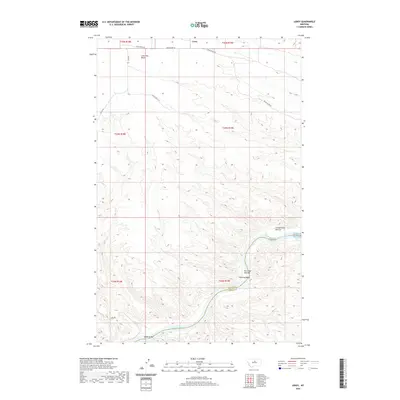 2020 Leroy2020 Print · USGSThe Missouri River breaks across the central Montana landscape in this modern topographic view, revealing the complex bends and rapids of the northern plains. Researchers can trace the river's path through Chimney Bend and Bird Rapids, or locate high points like Lone Tree Bench.
 - 2020 Map of Sturgeon Island, 2020 Print
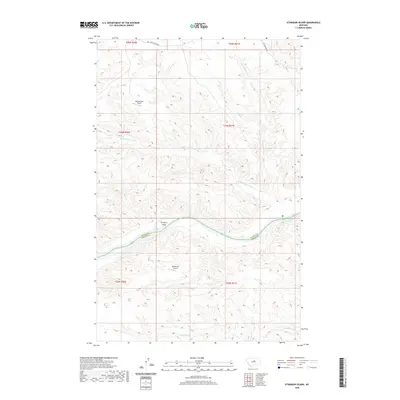 2020 Sturgeon Island2020 Print · USGSThe Missouri River breaks define this isolated borderland between Fergus and Blaine Counties as it appeared in 2020. Researchers can locate remote aviation sites like Bullwhacker Airport and Woodhawk Airport among the drainages of Bullwhacker Coulee.
 - 2020 Map of Gallatin Rapids, 2020 Print
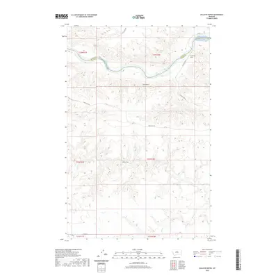 2020 Gallatin Rapids2020 Print · USGSIn the breaks of Fergus and Blaine counties, the Missouri River flows through a landscape defined by historic water crossings and treacherous whitewater. Genealogists and historians can trace the paths of Stafford Ferry Rd and Wiskey Ridge Rd down toward the Gallatin Rapids and Dauphin Rapids.
 - 2020 Map of Wild Horse Butte, 2020 Print
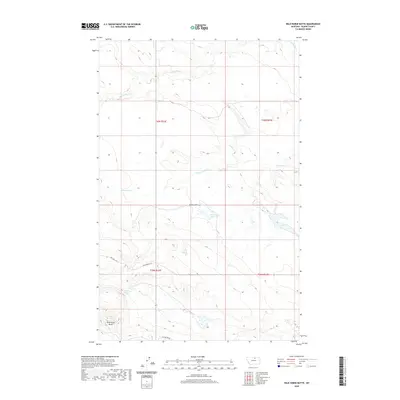 2020 Wild Horse Butte2020 Print · USGSBlaine County prairie land and the Agency District are captured here during the 2020s. Researchers can trace the drainage of Peoples Creek and find specific landmarks like Wild Horse Butte and Old Woman Reservoir.
 - 2020 Map of Hogeland, 2020 Print
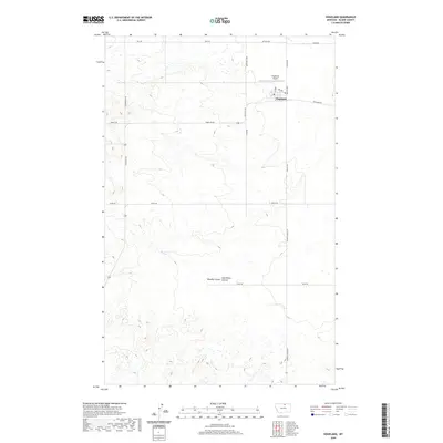 2020 Hogeland2020 Print · USGSHogeland and the surrounding high plains of Blaine County appear here in a modern detailed survey of northern Montana. Genealogists and researchers can trace family-named roads like Klindworth Rd and Twete Rd near the community of Hogeland.
 - 2020 Map of Savoy, 2020 Print
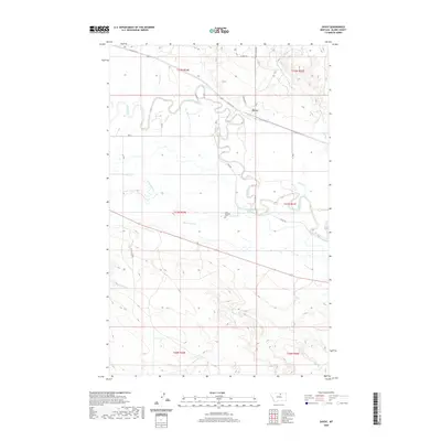 2020 Savoy2020 Print · USGSThe settlement of Savoy and the winding Milk River valley are shown here in the early twenty-first century. Genealogists and local historians can trace the irrigation network of Main Canal A and locate the Fort Belknap Cem south of the river.
 - 2020 Map of Wayne Creek NW, 2020 Print
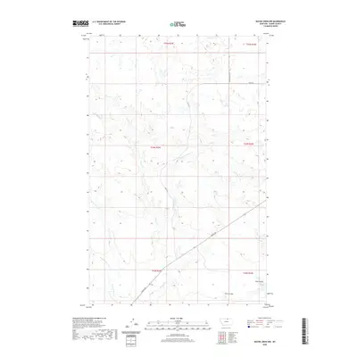 2020 Wayne Creek NW2020 Print · USGSBlaine County's high plains are documented here in the early twenty-first century, showing the enduring ranching landscape and rural road network. Researchers can trace the drainages of Wayne Cr and Harts Coulee or follow the path of Turner Rd.
 - 2020 Map of Threemile Reservoir, 2020 Print
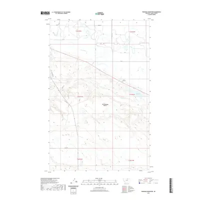 2020 Threemile Reservoir2020 Print · USGSThe Agency District of Blaine County is captured here in recent years, showing the intersection of vital water management and indigenous history. Trace local landmarks like the Fort Belknap Agency, the Sacred Heart Cem, and the extensive Milk River Canal A.
 - 2020 Map of East Butte, 2020 Print
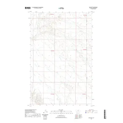 2020 East Butte2020 Print · USGSNorthern Montana's high plains are revealed in this recent survey, showcasing the remote terrain of Blaine County. Researchers can trace the seasonal waterways of Wayne Creek and Forgey Creek or locate the vital Box Spring near East Butte.
Showing maps 1-25 of 216
Top cities of Blaine County
Frequently asked questions
- What are the different types of historical maps available for Blaine County?
- What is the oldest map of Blaine County?
- Where can I purchase historical maps of Blaine County for my home or office?
- Where can I download high-res historical maps of Blaine County?
- Are there historical topographic maps available for Blaine County?
- Is there historical aerial imagery available for Blaine County?
- Where are historical maps of Blaine County sourced from?