1980s Maps of McCone County, Montana
Explore 46 historic maps of McCone County from the 1980s. These maps offer a rare glimpse into what life looked like during the 1980s — showing old roads, neighborhoods, homes, and landmarks that have changed or disappeared over time.
Whether you're researching your family's past, planning a metal detecting trip, or studying how McCone County's landscape evolved across the 1980s, these high-resolution maps are a powerful tool for exploring the history of this region.
- Focus on a specific era: All maps on this page are from the 1980s, giving you a focused view of this time period.
- See what’s changed: Compare century-old streets, trails, and buildings to today's modern landscape using overlays and satellite layers.
- Research with precision: Use these maps for genealogy, historical research, land use analysis, or educational projects.
- View, download, or print: Maps are fully viewable online in high resolution, and can be downloaded or printed for your own records.
Start exploring McCone County's history through authentic maps from the 1980s. This is your window into the past.
McCone County, MT maps
(46)- 1982 Map of Circle
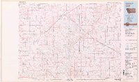 1982 Circle1982 Print · USGSEastern Montana ranching country and the town of Circle are captured here in the early eighties. Genealogists and local historians can trace the Burlington Northern rail corridor and find rural landmarks like Crazy Butte, Lindsay, and Brockway.
 - 1983 Map of Youngquist Mine
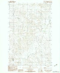
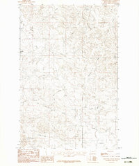
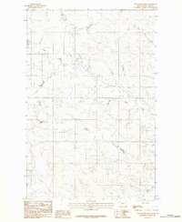 1983 Youngquist Mine1983 Print · USGSMcCone County, Montana, is shown in the early eighties as a high-plains landscape shaped by mineral interests and seasonal water. Genealogists and historians can trace family-named sites like the Youngquist Mine or follow the paths of Horse Creek and Antelope Creek.
 - 1983 Map of Figure Eight Creek
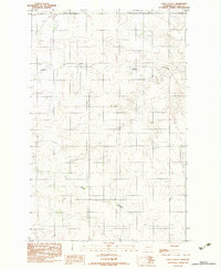
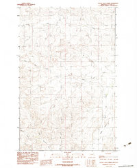 1983 Figure Eight Creek1983 Print · USGSMcCone County ranchlands are documented in the early eighties, showing a landscape defined by seasonal watercourses and complex coulees. Researchers can trace the winding paths of Flying V Creek and Figure Eight Creek, alongside named features like Roald Coulee.
 - 1983 Map of Sullivan Coulee
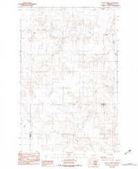
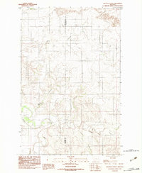 1983 Sullivan Coulee1983 Print · USGSThe Redwater River valley in the early eighties shows a landscape shaped by intricate coulees and prairie waterways. Trace the winding paths of Sullivan Coulee, Milne Coulee, and East Redwater Creek as they converge near the Richland county line.
 - 1983 Map of Brockway NE
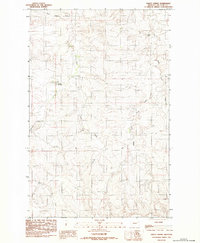
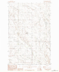
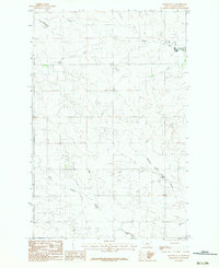 1983 Brockway NE1983 Print · USGSMcCone County, Montana, is documented in the early 1980s as a high-plains ranching landscape defined by its deep creek drainages. Researchers can trace the forks of the Horse Creek system and locate isolated features like the northern Landing Strip.
 - 1983 Map of Haynie Reservoir
 1983 Haynie Reservoir1983 Print · USGSEastern Montana rangeland near the turn of the 1980s is captured here in McCone County. Historians and researchers can trace the seasonal flow of Cow Creek, Lost Creek, and the essential water storage at Haynie Reservoir.
 - 1983 Map of Hudiburgh Reservoir
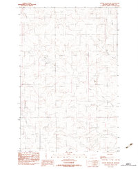
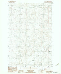
 1983 Hudiburgh Reservoir1983 Print · USGSMcCone County, Montana, is shown in the early eighties as a landscape of remote ranchlands and critical water sources. Local historians can locate a small Cem, the namesake Hudiburgh Reservoir, and a rural Grass Landing Strip.
 - 1983 Map of Turtle Creek
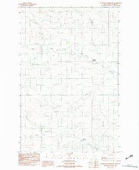
 1983 Turtle Creek1983 Print · USGSMcCone County rangeland in the early 1980s was a landscape defined by seasonal drainages and remote landmarks. Researchers can trace land use through the presence of a lone Airstrip and geographic markers like Amelia Poe and Four Corners.
 - 1983 Map of Flowing Well
 1983 Flowing Well1983 Print · USGSThe high plains of McCone and Garfield counties are captured here in the early 1980s, revealing a landscape shaped by water and isolation. Researchers can trace the drainage patterns of Patterson Coulee or locate the namesake Flowing Well settlement among the winding paths of Timber Creek and Crooked Creek.
 - 1983 Map of Woodworth Hill
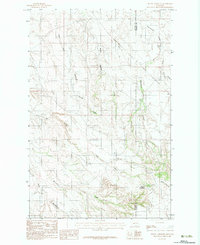
 1983 Woodworth Hill1983 Print · USGSMcCone and Dawson counties appear here in the early 1980s, showing a remote landscape defined by the Redwater River and its many tributaries. Researchers can trace the rugged topography from Woodworth Hill down to Buffalo Springs Creek and Lost Creek.
 - 1983 Map of Cemetery Coulee
 1983 Cemetery Coulee1983 Print · USGSMcCone County, Montana, is documented in the early eighties as a wide expanse of open country shaped by seasonal watercourses. Genealogists and researchers can trace the drainage patterns of Cemetery Coulee, Soda Creek, and Skull Creek through this rural landscape.
 - 1983 Map of Jordan
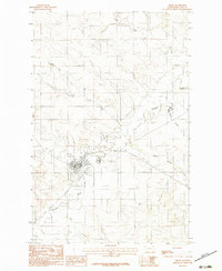
 1983 Jordan1983 Print · USGSGarfield County ranchlands and the high plains are captured here in the early eighties as the town of Jordan serves as the regional center. Genealogists and historians can trace family-named landmarks like Phillips Buttes or the remote settlement of Cohagen near Little Dry Creek.
 - 1983 Map of Pedigo Coulee
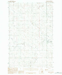
 1983 Pedigo Coulee1983 Print · USGSMcCone County, Montana, was surveyed in the late seventies to capture this high plains landscape of seasonal coulees and creek forks. Researchers can trace the rugged drainages of Pedigo Coulee, Flying V Creek, and Figure Eight Creek.
 - 1983 Map of Buffalo Creek NE
 1983 Buffalo Creek NE1983 Print · USGSDawson and McCone counties are shown here in the early eighties, a time when the high plains drainage systems dictated the region's geography. Researchers can trace the winding course of the Redwater River and its many tributaries, including Alkali Creek and Gold Gulch.
 - 1983 Map of Gady Coulee
 1983 Gady Coulee1983 Print · USGSThe McCone County prairie is documented here in the early 1980s, showcasing the open range and agricultural development of eastern Montana. Historians can trace the winding paths of Sheep Creek and Gady Coulee alongside markers of rural industry like grain bins.
 - 1983 Map of Kraut Coulee
 1983 Kraut Coulee1983 Print · USGSThe Montana plains along the McCone and Dawson county line appear in high detail during the late 1970s. Researchers can trace local water management and topography through features like the Boardman Ditch, Wolf Creek, and the Redwater River.
 - 1983 Map of Dailey Spring
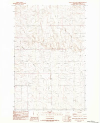
 1983 Dailey Spring1983 Print · USGSMcCone County, Montana, was documented in the early 1980s as a landscape of interconnected water drainages and remote springs. Researchers can trace the essential water sources of the high plains at Dailey Spring, Barrel Springs, and Tveten Reservoir.
 - 1983 Map of Fortyfour Coulee
 1983 Fortyfour Coulee1983 Print · USGSMcCone County ranching lands and coulee systems are documented here in the early eighties. Researchers can trace land features and water sources like Leaky Reservoir, Cobb Hill, and the winding Fortyfour Coulee.
 - 1983 Map of Mount Antelope
 1983 Mount Antelope1983 Print · USGSThe McCone and Dawson county line in the early 1980s is defined by a complex network of coulees and prairie landmarks. Researchers can trace the rugged drainages of Hell Creek and Cottonwood Creek or locate local high points like Mount Antelope.
 - 1983 Map of North Fork Horse Creek
 1983 North Fork Horse Creek1983 Print · USGSThe McCone County landscape comes into focus during the early eighties, showcasing the complex water networks of eastern Montana. Researchers can trace the winding paths of the North Fork Horse Creek, East Fork Prairie Elk Creek, and Lost Creek.
 - 1983 Map of Hudiburgh Reservoir NW
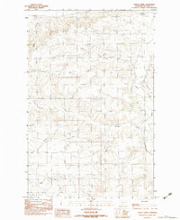
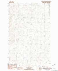 1983 Hudiburgh Reservoir NW1983 Print · USGSMcCone County in the early eighties is captured here, showing a landscape defined by seasonal watercourses and remote ranch roads. Researchers can trace the paths of Cow Creek and Duck Creek or locate local sites like the Gravel Pit.
 - 1983 Map of Quick Reservoir
 1983 Quick Reservoir1983 Print · USGSMcCone County in the late seventies and early eighties is shown here as a landscape of winding coulees and high plains drainage. Researchers can trace local water sources and land use through landmarks like Quick Reservoir, Mc Cune Creek, and the centrally located Gravel Pit.
 - 1983 Map of Buffalo Creek
 1983 Buffalo Creek1983 Print · USGSEastern Montana ranch lands are documented here in the early eighties, where the Redwater River meets various creek forks. Researchers can trace land use through the Switzer Reservoir, local Gravel Pit, and the county line.
 - 1983 Map of Circle
 1983 Circle1983 Print · USGSCircle and the high plains of McCone County are shown in the early 1980s as the town serves as a vital prairie crossroads. Researchers can trace the local landscape through the Redwater River, the Town County Airport, and the Fairgrounds.
 - 1983 Map of Brockway
 1983 Brockway1983 Print · USGSBrockway and the Redwater River valley appear in the early 1980s as a quiet hub of Montana ranching country. Local historians can trace the town's footprint near the Race Track, or follow the winding paths of Dirty Creek and Beauty Creek.
Showing maps 1-25 of 46
Top cities of McCone County
Frequently asked questions
- What are the different types of historical maps available for McCone County?
- What is the oldest map of McCone County?
- Where can I purchase historical maps of McCone County for my home or office?
- Where can I download high-res historical maps of McCone County?
- Are there historical topographic maps available for McCone County?
- Is there historical aerial imagery available for McCone County?
- Where are historical maps of McCone County sourced from?