2020s Maps of McCone County, Montana
Explore 150 historic maps of McCone County from the 2020s. These maps offer a rare glimpse into what life looked like during the 2020s — showing old roads, neighborhoods, homes, and landmarks that have changed or disappeared over time.
Whether you're researching your family's past, planning a metal detecting trip, or studying how McCone County's landscape evolved across the 2020s, these high-resolution maps are a powerful tool for exploring the history of this region.
- Focus on a specific era: All maps on this page are from the 2020s, giving you a focused view of this time period.
- See what’s changed: Compare century-old streets, trails, and buildings to today's modern landscape using overlays and satellite layers.
- Research with precision: Use these maps for genealogy, historical research, land use analysis, or educational projects.
- View, download, or print: Maps are fully viewable online in high resolution, and can be downloaded or printed for your own records.
Start exploring McCone County's history through authentic maps from the 2020s. This is your window into the past.
McCone County, MT maps
(150)- 2020 Map of Hudiburgh Reservoir NW, 2020 Print
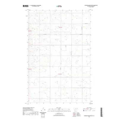 2020 Hudiburgh Reservoir NW2020 Print · USGSMcCone County ranch lands and energy corridors are captured in this recent survey of the Montana plains. Researchers can trace the path of Cow Cr and locate water sources like Blackjack Spring among the winding tracks of Stoney Rd.
 - 2020 Map of Quick Reservoir, 2020 Print
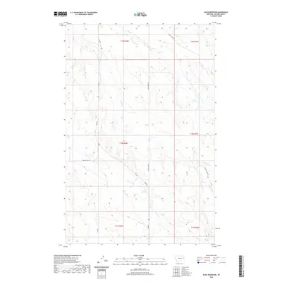 2020 Quick Reservoir2020 Print · USGSMcCone County’s high plains and drainage systems are documented here in the early twenty-first century. Researchers can trace land use through cattle-country landmarks like Quick Reservoir, Mcclays Reservoir, and the winding path of Hell Cr.
 - 2020 Map of Oswego, 2020 Print
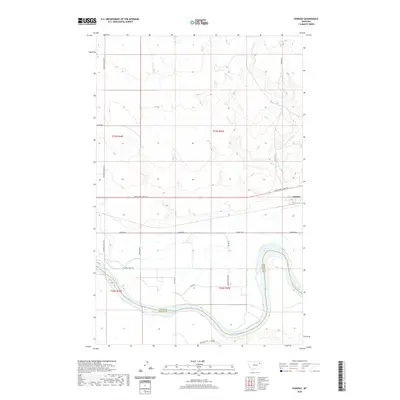 2020 Oswego2020 Print · USGSThe Oswego area in northeastern Montana is documented here at the start of the 2020s, showing the intersection of the Missouri River and the Lewis and Clark Trl. Researchers can trace rural routes like Fourstar Rd and Pumping Plant Rd across the county line.
 - 2020 Map of Beauty Creek, 2020 Print
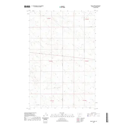 2020 Beauty Creek2020 Print · USGSMcCone County's expansive rangeland is captured here in the early twenty-first century, showing a remote landscape defined by seasonal creek beds. Researchers can trace historic access routes like Old Brockway Rd and the winding course of Beauty Creek.
 - 2020 Map of Sullivan Coulee, 2020 Print
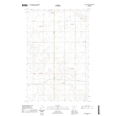 2020 Sullivan Coulee2020 Print · USGSMcCone and Richland counties are captured here in the early twenty-first century, showing a landscape shaped by the Redwater River. Researchers can locate the Grandview Cem and trace rural routes like Sunnyside Rd across the rugged coulees.
 - 2020 Map of Shade Creek, 2020 Print
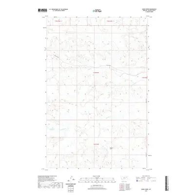 2020 Shade Creek2020 Print · USGSMcCone County, Montana, is shown here in the early twenty-first century, revealing a landscape shaped by high-plains drainage systems. Researchers can trace the water sources vital to this region, such as Christianson Reservoir and Williams Coulée.
 - 2020 Map of Lisk Creek, 2020 Print
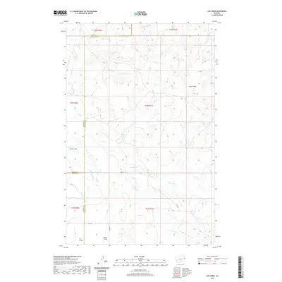 2020 Lisk Creek2020 Print · USGSMcCone County ranching country is documented here in the early twenty-first century as the prairie meets the Missouri River watershed. Genealogists and researchers can trace the drainage of Redwater River and local landmarks like Bickett Coulee and Lisk Cr.
 - 2020 Map of Gady Coulee, 2020 Print
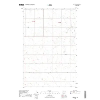 2020 Gady Coulee2020 Print · USGSMcCone County, Montana, is depicted in the modern era as a region of expansive ranchlands and winding coulees. Researchers can trace land holdings along RTE 201 and identify family-named landmarks like Ahren Loop, Loges Rd, and the rugged Gady Coulee.
 - 2020 Map of Figure Eight Creek, 2020 Print
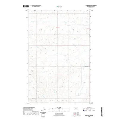 2020 Figure Eight Creek2020 Print · USGSMcCone County, Montana, at the start of the 2020s shows a landscape of wide rangelands defined by seasonal creek beds and winding coulees. Researchers can trace the drainage of Figure Eight Cr and Flying V Cr or locate rural transit along Prairie Elk Rd.
 - 2020 Map of Buffalo Creek, 2020 Print
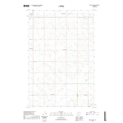 2020 Buffalo Creek2020 Print · USGSMcCone County ranchlands are captured here in the early twenty-first century, showing a landscape defined by its vital watercourses. Genealogists and researchers can trace the drainages of the Redwater River and follow rural routes like Buffalo Creek Rd and Spring Rd.
 - 2020 Map of Dailey Spring, 2020 Print
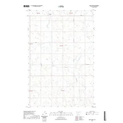 2020 Dailey Spring2020 Print · USGSMcCone County rangeland and the complex drainage of the Sand Creek forks are captured in this modern survey. Researchers can trace the remote hydrology of the northern plains through features like Dailey Spring, Dead Man Coulee, and Tveten Reservoir.
 - 2020 Map of Hudiburgh Reservoir SE, 2020 Print
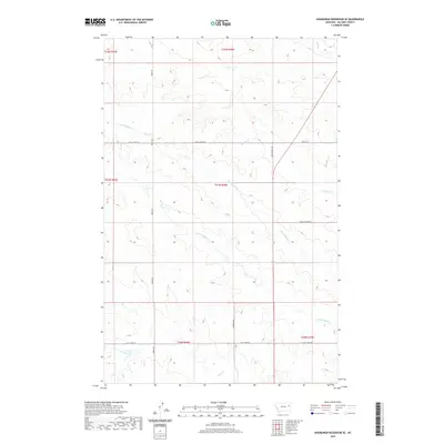 2020 Hudiburgh Reservoir SE2020 Print · USGSMcCone County, Montana, remains a landscape of remote ranching and seasonal drainages as seen in this modern survey. Genealogists and local historians can trace the paths of Spring Creek Rd and W Farm Loop across the forks of N Fork Buffalo Cr.
 - 2020 Map of Youngquist Mine, 2020 Print
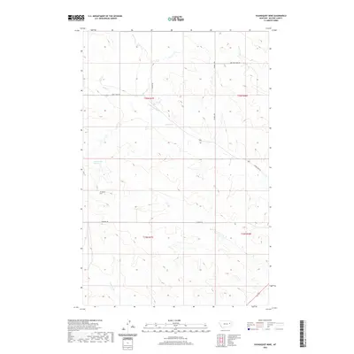 2020 Youngquist Mine2020 Print · USGSMcCone County, Montana, is depicted in the early 2020s as a landscape of remote resource extraction and high-plains ranching. Researchers can trace the industrial footprint of the Youngquist Mine and water features like Groh Stock Reservoir and Denwoody Cr.
 - 2020 Map of Circle, 2020 Print
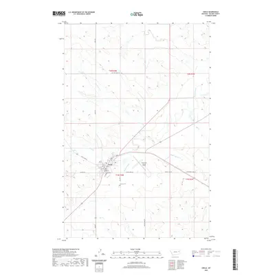 2020 Circle2020 Print · USGSCircle and the high plains of McCone County are shown here in the modern era, centered on the local county seat. Genealogists and historians can trace town developments around the McCone County Courthouse and locate the Riverview Cem along the Redwater River.
 - 2020 Map of Buffalo Creek NE, 2020 Print
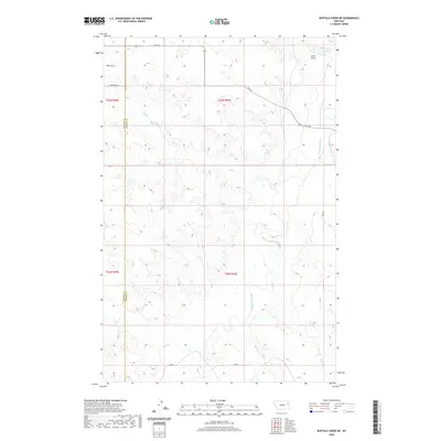 2020 Buffalo Creek NE2020 Print · USGSEastern Montana ranching country is documented here in the early twenty-first century along the McCone and Dawson county line. Genealogists and researchers can trace local landmarks like Beery Rd and the drainages of the Redwater River and Gold Gulch.
 - 2020 Map of Dowse Coulee, 2020 Print
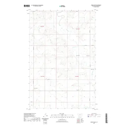 2020 Dowse Coulee2020 Print · USGSMcCone County, Montana, is depicted in the modern era as a region of expansive ranchlands and winding coulees. Researchers can locate family landmarks such as Riverside Cem and trace the drainage of Redwater River and Waters Reservoir.
 - 2020 Map of Brockway NE, 2020 Print
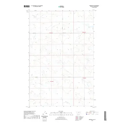 2020 Brockway NE2020 Print · USGSMcCone County’s rural northern plains are documented here in the early twenty-first century, showing the enduring ranching landscape and drainage networks. Trace the paths of Horse Creek and Stony Butte Creek along historic routes like Weldon Rd.
 - 2020 Map of Watkins, 2020 Print
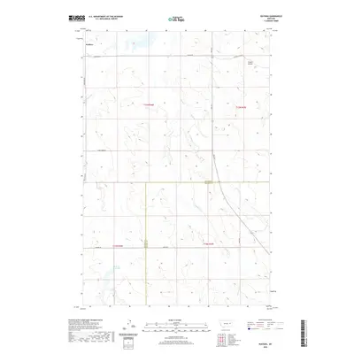 2020 Watkins2020 Print · USGSThe eastern Montana plains near the McCone and Prairie county line are shown here in recent detail, centered on the settlement of Watkins. Researchers can trace rural routes like Bob Fudge Rd and identify local water features including Lisk Cr Reservoir and Fryxell Coulee.
 - 2020 Map of Woodworth Hill, 2020 Print
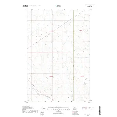 2020 Woodworth Hill2020 Print · USGSMcCone and Dawson counties meet here in eastern Montana’s high prairie, where the modern landscape remains defined by ranching and rugged watercourses. Genealogists and land researchers can trace property boundaries and elevation near Woodworth Hill, Stilson Coulee, and Cottonwood Creek.
 - 2020 Map of Johnson Coulee East, 2020 Print
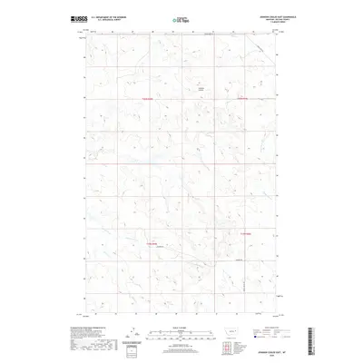 2020 Johnson Coulee East2020 Print · USGSMcCone County's expansive ranching country is captured here during the twenty-first century, showing the intricate drainages of the high plains. Researchers can trace land boundaries and remote access routes like Beauty Valley Rd and Horse Creek Rd near Johnson Coulee.
 - 2020 Map of Vida, 2020 Print
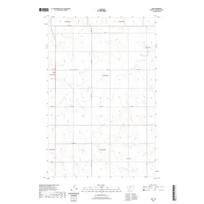 2020 Vida2020 Print · USGSThe northern McCone County plains are documented here in the early twenty-first century, showing the enduring agricultural layout of the region. Researchers can trace family history through the Vida Cem or follow the paths of Wolf Creek and Gold Gulch.
 - 2020 Map of Macon, 2020 Print
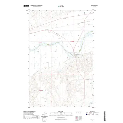 2020 Macon2020 Print · USGSThe Missouri River valley south of Macon comes into focus in the early twenty-first century as it winds through Roosevelt and McCone counties. Genealogists and local historians can locate the Courchene Cem and trace crossings at the Lewis and Clark Bridge.
 - 2020 Map of North Fork Horse Creek, 2020 Print
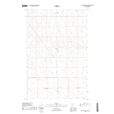 2020 North Fork Horse Creek2020 Print · USGSMcCone County’s high plains and seasonal creek beds are documented here in the early twenty-first century. Researchers can trace the courses of the N Fork Horse Cr and E Fork Prairie Elk Cr alongside local routes like Weldon Rd.
 - 2020 Map of Buffalo Creek SE, 2020 Print
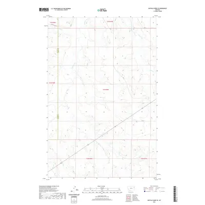 2020 Buffalo Creek SE2020 Print · USGSThe eastern Montana high plains are documented here in the early twenty-first century, specifically along the border of two counties. Researchers can trace the winding path of the Redwater River and the rural road network including Duck Creek Rd and Rd 621.
 - 2020 Map of Emily Coulee, 2020 Print
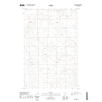 2020 Emily Coulee2020 Print · USGSMcCone County’s high plains are detailed here during the late twenty-teens, showing a landscape defined by deep coulees and seasonal creek beds. Researchers can locate the Prairie Elk Cem or trace rural routes like Highland Rd through Emily Coulee and Steele Coulee.
Showing maps 1-25 of 150
Top cities of McCone County
Frequently asked questions
- What are the different types of historical maps available for McCone County?
- What is the oldest map of McCone County?
- Where can I purchase historical maps of McCone County for my home or office?
- Where can I download high-res historical maps of McCone County?
- Are there historical topographic maps available for McCone County?
- Is there historical aerial imagery available for McCone County?
- Where are historical maps of McCone County sourced from?