2020s Maps of Musselshell County, Montana
Explore 108 historic maps of Musselshell County from the 2020s. These maps offer a rare glimpse into what life looked like during the 2020s — showing old roads, neighborhoods, homes, and landmarks that have changed or disappeared over time.
Whether you're researching your family's past, planning a metal detecting trip, or studying how Musselshell County's landscape evolved across the 2020s, these high-resolution maps are a powerful tool for exploring the history of this region.
- Focus on a specific era: All maps on this page are from the 2020s, giving you a focused view of this time period.
- See what’s changed: Compare century-old streets, trails, and buildings to today's modern landscape using overlays and satellite layers.
- Research with precision: Use these maps for genealogy, historical research, land use analysis, or educational projects.
- View, download, or print: Maps are fully viewable online in high resolution, and can be downloaded or printed for your own records.
Start exploring Musselshell County's history through authentic maps from the 2020s. This is your window into the past.
Musselshell County, MT maps
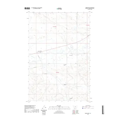
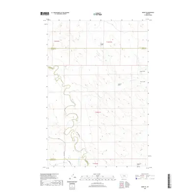
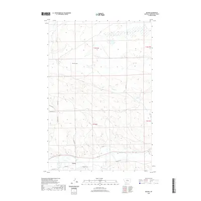
(108)- 2020 Map of Melstone, 2020 Print
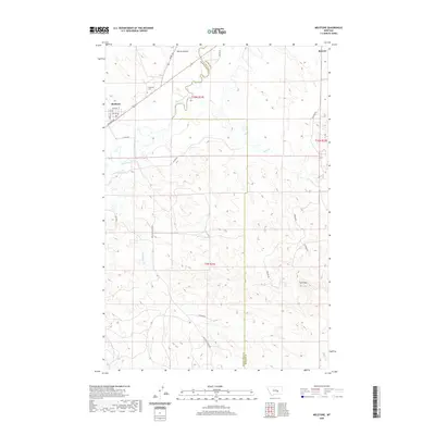 2020 Melstone2020 Print · USGSCovers Musselshell County, including Melstone, Rosebud County, and other nearby areas
 - 2020 Map of South Bench, 2020 Print
 2020 South Bench2020 Print · USGSCovers Musselshell County, including Fergus County, Golden Valley County, and other nearby areas
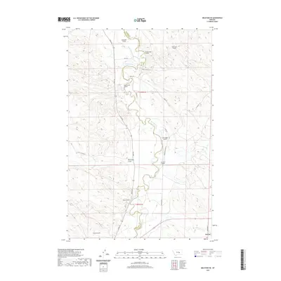
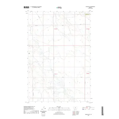
 - 2020 Map of Melstone NW, 2020 Print
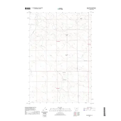 2020 Melstone NW2020 Print · USGSCovers Musselshell County, including United States, Montana, and other nearby areas
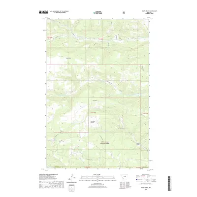
 - 2020 Map of Sahara Hill, 2020 Print
 2020 Sahara Hill2020 Print · USGSCovers Musselshell County, including Golden Valley County, United States, and other nearby areas
 - 2020 Map of Queens Point, 2020 Print
 2020 Queens Point2020 Print · USGSCovers Musselshell County, including Melstone, Queens Point, and other nearby areas
 - 2020 Map of Melstone NE, 2020 Print
 2020 Melstone NE2020 Print · USGSCovers Musselshell County, including Bascom, Rosebud County, and other nearby areas
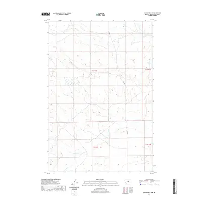
 - 2020 Map of Maxwell Ranch, 2020 Print
 2020 Maxwell Ranch2020 Print · USGSCovers Musselshell County, including Rosebud County, Petroleum County, and other nearby areas
 - 2020 Map of Weed Creek West, 2020 Print
 2020 Weed Creek West2020 Print · USGSCovers Musselshell County, including Yellowstone County, Rosebud County, and other nearby areas
 - 2020 Map of Mosby SE, 2020 Print
 2020 Mosby SE2020 Print · USGSCovers Musselshell County, including Rosebud County, Petroleum County, and other nearby areas
 - 2020 Map of Sahara Hill SE, 2020 Print
 2020 Sahara Hill SE2020 Print · USGSCovers Musselshell County, including Golden Valley County, United States, and other nearby areas
 - 2020 Map of Chandler Spring, 2020 Print
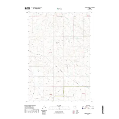 2020 Chandler Spring2020 Print · USGSCovers Musselshell County, including Yellowstone County, United States, and other nearby areas
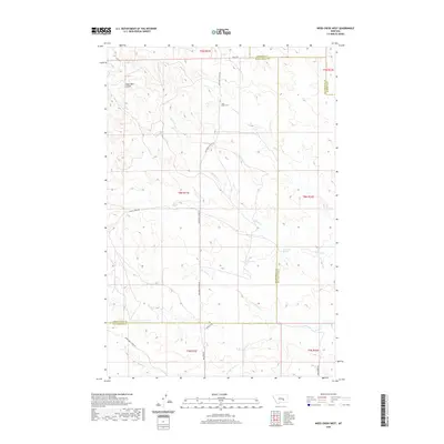
 - 2020 Map of Pine View, 2020 Print
 2020 Pine View2020 Print · USGSCovers Musselshell County, including Yellowstone County, United States, and other nearby areas
 - 2020 Map of Lake Mason, 2020 Print
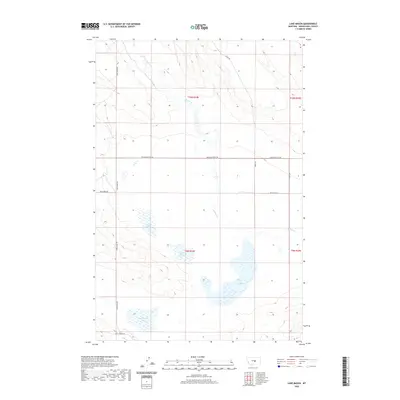 2020 Lake Mason2020 Print · USGSCovers Musselshell County, including United States, Montana, and other nearby areas
 - 2020 Map of Musselshell NW, 2020 Print
 2020 Musselshell NW2020 Print · USGSCovers Musselshell County, including United States, Montana, and other nearby areas
 - 2020 Map of Crowley Dam, 2020 Print
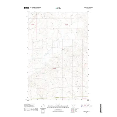 2020 Crowley Dam2020 Print · USGSCovers Musselshell County, including Petroleum County, United States, and other nearby areas
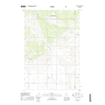
 - 2020 Map of Harper Coulee, 2020 Print
 2020 Harper Coulee2020 Print · USGSCovers Musselshell County, including United States, Montana, and other nearby areas
 - 2020 Map of Devils Hole Lake, 2020 Print
 2020 Devils Hole Lake2020 Print · USGSCovers Musselshell County, including United States, Montana, and other nearby areas
 - 2020 Map of Musselshell, 2020 Print
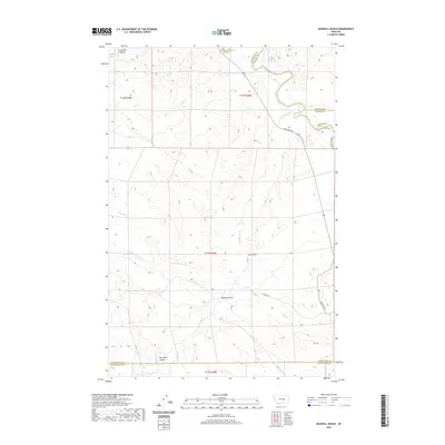
 2020 Musselshell2020 Print · USGSCovers Musselshell County, including Musselshell, United States, and other nearby areas
 - 2020 Map of Dunn Mountain South, 2020 Print
 2020 Dunn Mountain South2020 Print · USGSCovers Musselshell County, including Yellowstone County, United States, and other nearby areas
 - 2020 Map of Roundup, 2020 Print
 2020 Roundup2020 Print · USGSCovers Musselshell County, including Roundup, Riverside, and other nearby areas
 - 2020 Map of Delphia, 2020 Print
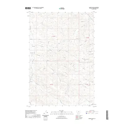
 2020 Delphia2020 Print · USGSCovers Musselshell County, including Delphia, United States, and other nearby areas
 - 2020 Map of Mud Spring, 2020 Print
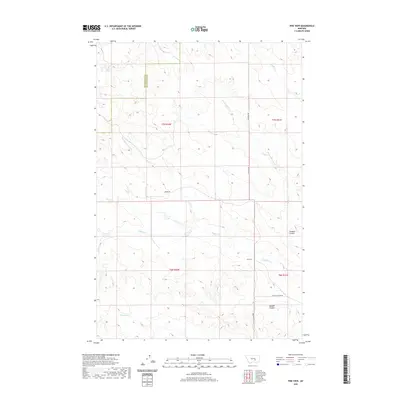
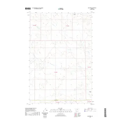 2020 Mud Spring2020 Print · USGSCovers Musselshell County, including Petroleum County, United States, and other nearby areas
 - 2020 Map of Horsethief Creek, 2020 Print
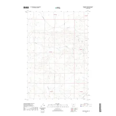 2020 Horsethief Creek2020 Print · USGSCovers Musselshell County, including United States, Montana, and other nearby areas
 - 2020 Map of Elso, 2020 Print
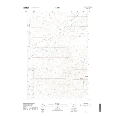 2020 Elso2020 Print · USGSCovers Musselshell County, including Elso, United States, and other nearby areas
 - 2020 Map of Jim Coulee, 2020 Print
 2020 Jim Coulee2020 Print · USGSCovers Musselshell County, including United States, Montana, and other nearby areas
Showing maps 1-25 of 108
Top cities of Musselshell County
Frequently asked questions
- What are the different types of historical maps available for Musselshell County?
- What is the oldest map of Musselshell County?
- Where can I purchase historical maps of Musselshell County for my home or office?
- Where can I download high-res historical maps of Musselshell County?
- Are there historical topographic maps available for Musselshell County?
- Is there historical aerial imagery available for Musselshell County?
- Where are historical maps of Musselshell County sourced from?