2020s Maps of Richland County, Montana
Explore 122 historic maps of Richland County from the 2020s. These maps offer a rare glimpse into what life looked like during the 2020s — showing old roads, neighborhoods, homes, and landmarks that have changed or disappeared over time.
Whether you're researching your family's past, planning a metal detecting trip, or studying how Richland County's landscape evolved across the 2020s, these high-resolution maps are a powerful tool for exploring the history of this region.
- Focus on a specific era: All maps on this page are from the 2020s, giving you a focused view of this time period.
- See what’s changed: Compare century-old streets, trails, and buildings to today's modern landscape using overlays and satellite layers.
- Research with precision: Use these maps for genealogy, historical research, land use analysis, or educational projects.
- View, download, or print: Maps are fully viewable online in high resolution, and can be downloaded or printed for your own records.
Start exploring Richland County's history through authentic maps from the 2020s. This is your window into the past.
Richland County, MT maps
(122)- 2020 Map of Sullivan Coulee, 2020 Print
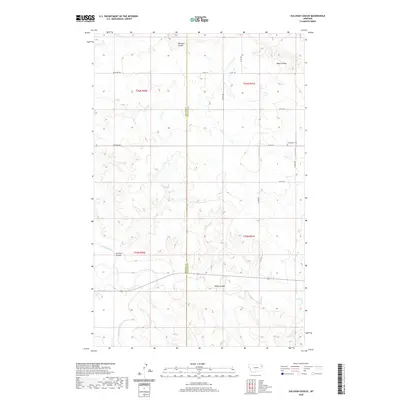 2020 Sullivan Coulee2020 Print · USGSMcCone and Richland counties are captured here in the early twenty-first century, showing a landscape shaped by the Redwater River. Researchers can locate the Grandview Cem and trace rural routes like Sunnyside Rd across the rugged coulees.
 - 2020 Map of Lisk Creek, 2020 Print
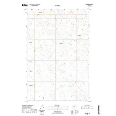 2020 Lisk Creek2020 Print · USGSMcCone County ranching country is documented here in the early twenty-first century as the prairie meets the Missouri River watershed. Genealogists and researchers can trace the drainage of Redwater River and local landmarks like Bickett Coulee and Lisk Cr.
 - 2020 Map of Richey NW, 2020 Print
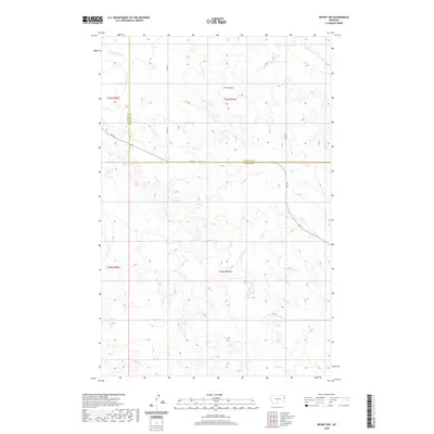 2020 Richey NW2020 Print · USGSRichland and Dawson counties in the contemporary West remain defined by the winding waters of the Redwater River. Genealogists and researchers can trace the rural landscape across FAS 254 and follow drainage patterns along Pasture Cr and H S Coulee.
 - 2020 Map of Duplisse Creek South, 2020 Print
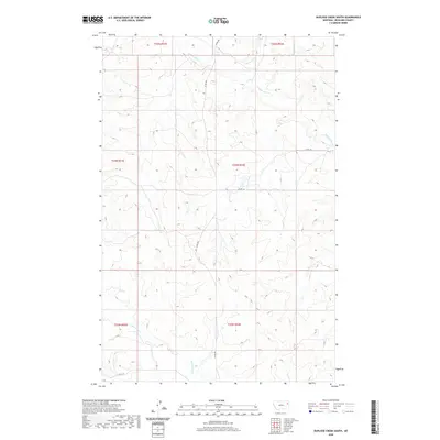 2020 Duplisse Creek South2020 Print · USGSRichland County, Montana, remains a landscape of open range and precise section grids in this modern survey. Researchers can trace the paths of E Redwater Cr and Duplisse Cr or locate remote rural junctions along CO RD 308.
 - 2020 Map of Duplisse Creek North, 2020 Print
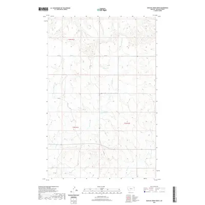 2020 Duplisse Creek North2020 Print · USGSRichland County at the start of the 2020s remains a landscape of remote ranching and essential water management. Historians can trace the drainage patterns and land partitions along Long Grass Cr, Fatzinger Reservoir, and Candee Pond.
 - 2020 Map of Poplar, 2020 Print
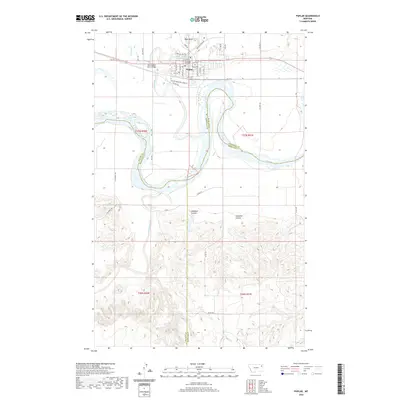 2020 Poplar2020 Print · USGSPoplar and the Fort Peck Indian Reservation are documented here in recent years at the meeting of three major rivers. Researchers can trace the community layout near Fort Peck Community College, Poplar Cem, and the crossing at West Poplar River Bridge.
 - 2020 Map of Sprole, 2020 Print
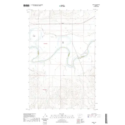 2020 Sprole2020 Print · USGSThe Missouri River and the small settlement of Sprole define this Montana landscape during the early twenty-first century. Researchers can trace the meandering county line and explore river features like Poplar Bridge, White Shield Island, and Skinners Island.
 - 2020 Map of Richey, 2020 Print
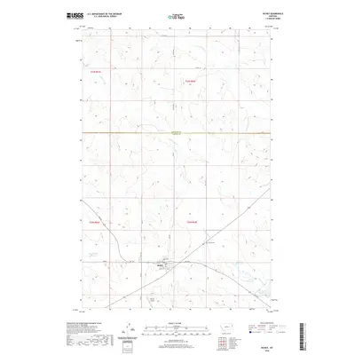 2020 Richey2020 Print · USGSRichey and the surrounding eastern Montana prairie are documented here in the early twenty-first century. Researchers can trace the local landscape through family-named landmarks like Roy Richey Reservoir and Longs Reservoir, or locate the Richey Cemetery.
 - 2020 Map of Elm Coulee, 2020 Print
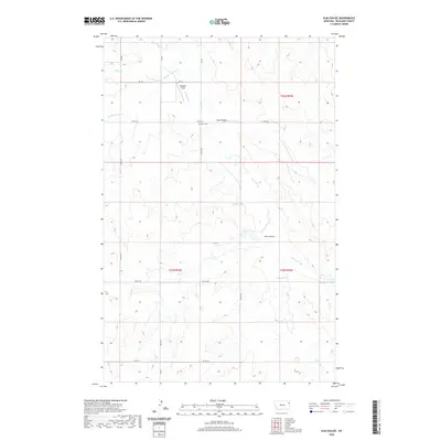 2020 Elm Coulee2020 Print · USGSRichland County at the start of the 2020s remains a landscape of sprawling ranchland and deep coulees. Researchers can trace rural landmarks and old burial sites like Mona Cem or follow the paths of Elm Coulee and Middle Charlie Cr through the high plains.
 - 2020 Map of Clay Butte, 2020 Print
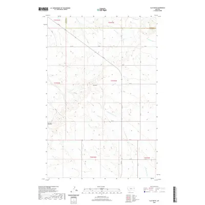 2020 Clay Butte2020 Print · USGSRichland and Dawson Counties appear as a landscape of high ridges and winding coulees in this modern-era Montana survey. Researchers can trace the rugged drainages of S Fork Lisk Cr and Burns Cr near the landmark Clay Butte.
 - 2020 Map of Brorson, 2020 Print
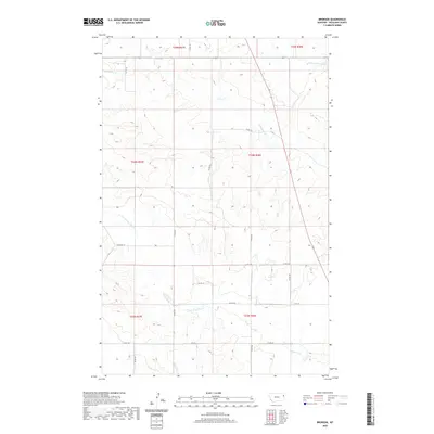 2020 Brorson2020 Print · USGSRichland County, Montana, is depicted in the early twenty-first century as a land of high plains and vital watercourses. Researchers can trace the section-line roads and the winding paths of Brorson Creek, Main Hay Creek, and North Fork Lone Tree Creek.
 - 2020 Map of Andes, 2020 Print
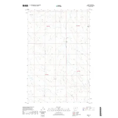 2020 Andes2020 Print · USGSRichland County at the turn of the decade is captured here, showing the rural community of Andes and its surrounding prairie coulees. Genealogists and local historians can locate the Andes Cem and trace the paths of Hardscrabble Cr and Garden Coulee.
 - 2020 Map of Sidney SE, 2020 Print
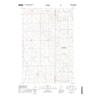 2020 Sidney SE2020 Print · USGSThe high plains of the Montana-North Dakota border come alive in this contemporary survey of the Badlands drainage. Researchers can trace remote rangeland routes like Bennie Peer Rd and identify topographical landmarks within the Little Missouri National Grassland.
 - 2020 Map of Savage SW, 2020 Print
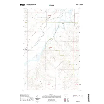 2020 Savage SW2020 Print · USGSRichland and Dawson counties meet along the high plains and river bottoms of eastern Montana in this modern survey. You can trace the historic Lewis and Clark Trl or locate river landmarks like Idiom Island and Snake Island.
 - 2020 Map of Crane NE, 2020 Print
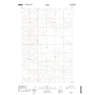 2020 Crane NE2020 Print · USGSRichland County, Montana, is shown here in the 2020s as a landscape of wide-open plains and intricate drainage basins. Researchers can trace the seasonal watercourses of Lone Tree Creek and Youngs Coulee among a sparse network of rural routes like CO RD 124.
 - 2020 Map of Crane, 2020 Print
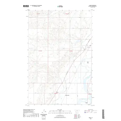 2020 Crane2020 Print · USGSRichland County at the edge of the Yellowstone River shows its modern agricultural character in this 2020 survey. Genealogists and local historians can trace the rural layouts of Crane, Midway, and Hoffmanville, or locate the Crane Cem and the historical Lewis and Clark Trl.
 - 2020 Map of Three Buttes Creek West, 2020 Print
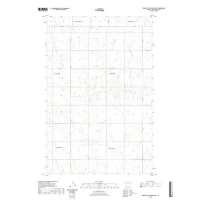 2020 Three Buttes Creek West2020 Print · USGSRichland County's high plains are captured here in the modern era, showing a landscape defined by deep coulees and seasonal water. Researchers can trace the drainage patterns of Middle Charlie Cr and find historic water points like Antelope Springs among the vast township grids.
 - 2020 Map of Girard, 2020 Print
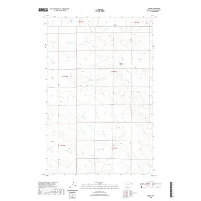 2020 Girard2020 Print · USGSRichland County's high prairie is mapped here in the modern era, showing the enduring settlement of Girard. Researchers can trace the section lines and local roads that connect landmarks like Erickson Reservoir and the winding Elkhorn Coulee.
 - 2020 Map of Crane NW, 2020 Print
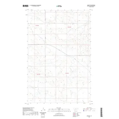 2020 Crane NW2020 Print · USGSRichland County at the start of the 2020s remains a landscape of vast cattle ranges and agricultural grid lines. Researchers can trace rural access routes like Co Rd 336 and Co Rd 127 as they cross the drainage of N Fork Fox Cr.
 - 2020 Map of Blue Hill, 2020 Print
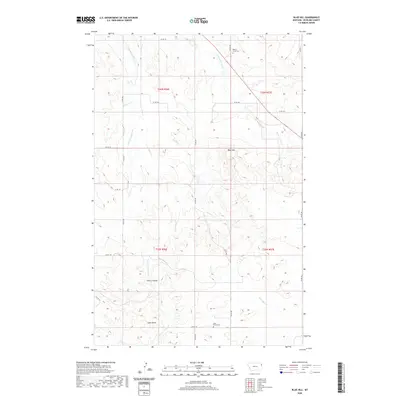 2020 Blue Hill2020 Print · USGSEastern Montana's high plains in Richland County are shown here as they appeared recently, reflecting a quiet landscape of ranching and remote settlements. Researchers can locate isolated burial sites at Cherry Creek Cem and Lone Butte Cem.
 - 2020 Map of Butler Table, 2020 Print
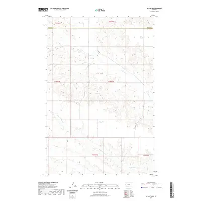 2020 Butler Table2020 Print · USGSRichland and Dawson counties meet in this high plains region during the early twenty-first century, showing a landscape defined by ranch roads and seasonal draws. Researchers can trace the drainage patterns of N Fork Burns Cr and find landmark elevations at Butler Table and McCone Heights.
 - 2020 Map of Lambert, 2020 Print
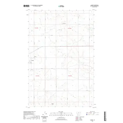 2020 Lambert2020 Print · USGSEastern Montana ranching and farming communities are documented here as they appeared in 2020. Local researchers can trace property layouts near Lambert, locate Lambert Cem, or explore the terrain around Three Buttes and Fox Cr.
 - 2020 Map of Savage, 2020 Print
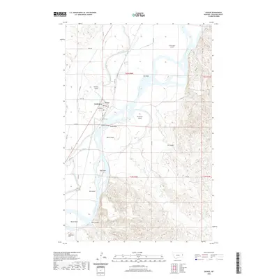 2020 Savage2020 Print · USGSRichland County, Montana, is depicted here in the modern era, centered on the riverside town of Savage. Genealogists and local historians can trace the town’s layout and find family landmarks like Riverview Cem and the complex channels of Beef Slough.
 - 2020 Map of Sioux Pass, 2020 Print
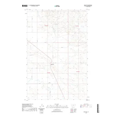 2020 Sioux Pass2020 Print · USGSRichland County's high plains are documented here in the early twenty-first century, centered on the rural crossroads of Sioux Pass. Local historians can trace the paths of Wells Coulee and locate family sites near Saint Peters Cem.
 - 2020 Map of Skaar NE, 2020 Print
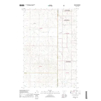 2020 Skaar NE2020 Print · USGSThe Montana and North Dakota borderlands come into focus here, showing the wide-open ranching country at the start of the twenty-first century. Family and local researchers can trace old section roads and watercourses like One-O-One Cr or find the prominent Bull Butte among the Little Missouri National Grassland.
Showing maps 1-25 of 122
Top cities of Richland County
Frequently asked questions
- What are the different types of historical maps available for Richland County?
- What is the oldest map of Richland County?
- Where can I purchase historical maps of Richland County for my home or office?
- Where can I download high-res historical maps of Richland County?
- Are there historical topographic maps available for Richland County?
- Is there historical aerial imagery available for Richland County?
- Where are historical maps of Richland County sourced from?