2000s (21st Century) Maps of Richland County, Montana
Explore 305 historic maps of Richland County from the 2000s (21st Century). These maps offer a rare glimpse into what life looked like during the 2000s — showing old roads, neighborhoods, homes, and landmarks that have changed or disappeared over time.
Whether you're researching your family's past, planning a metal detecting trip, or studying how Richland County's landscape evolved across the 2000s, these high-resolution maps are a powerful tool for exploring the history of this region.
- Focus on a specific era: All maps on this page are from the 2000s, giving you a focused view of this time period.
- See what’s changed: Compare century-old streets, trails, and buildings to today's modern landscape using overlays and satellite layers.
- Research with precision: Use these maps for genealogy, historical research, land use analysis, or educational projects.
- View, download, or print: Maps are fully viewable online in high resolution, and can be downloaded or printed for your own records.
Start exploring Richland County's history through authentic maps from the 2000s. This is your window into the past.
Richland County, MT maps
(305)- 2011 Map of Richey NW, 2011 Print
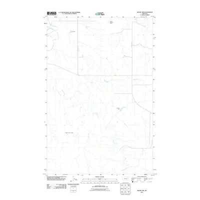 2011 Richey NW2011 Print · USGSRichland County, Montana, is captured in this early 21st-century survey showing the drainage systems of the High Plains. Genealogists and historians can trace local water management via Othar Number 1 Dam, Johnston Dam, and the winding Redwater River.
 - 2011 Map of Duplisse Creek North, 2011 Print
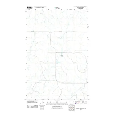 2011 Duplisse Creek North2011 Print · USGSRichland County at the start of the 2010s reveals a rural landscape shaped by water management and a strict section-line road grid. Genealogists and local historians can trace the drainages of Long Grass Creek and find landmarks like Zinger Number 1 Dam and Candee Pond.
 - 2011 Map of Lisk Creek, 2011 Print
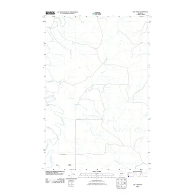 2011 Lisk Creek2011 Print · USGSMcCone County, Montana, is shown here in the early twenty-first century, dominated by the winding path of the Redwater River. Researchers can trace the ranching landscape through named features like Bickett Coulee and the branching Lisk Creek.
 - 2011 Map of Sullivan Coulee, 2011 Print
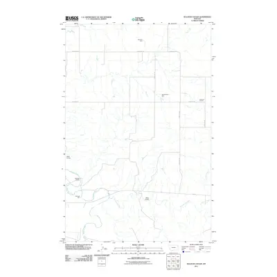 2011 Sullivan Coulee2011 Print · USGSMcCone County, Montana, is depicted in the early twenty-first century, showing a remote landscape of prairie drainages and cattle-country infrastructure. Researchers can locate family landmarks like Grandview Cemetery and trace the paths of Redwater River and Sullivan Coulee.
 - 2011 Map of Richey, 2011 Print
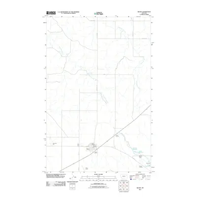 2011 Richey2011 Print · USGSRichey and the surrounding Dawson County prairies are depicted in this early twenty-first-century survey, showing a landscape defined by ranching and vital water management. Researchers can trace local landmarks like the Richey Cemetery, Roy Richey Dam, and the oddly-named Ding-A-Ling Dam.
 - 2011 Map of Fairview, 2011 Print
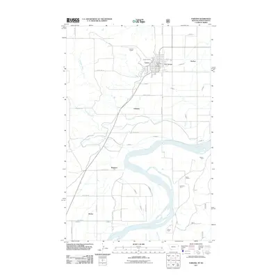 2011 Fairview2011 Print · USGSThe Montana-North Dakota border comes alive in this 2011 survey of the communities flanking the Yellowstone River. Researchers can trace irrigation networks and find family history at Pioneer Cemetery, Ridgelawn, and the H Pederson Ranch.
 - 2011 Map of Sidney NE, 2011 Print
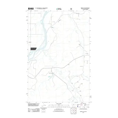 2011 Sidney NE2011 Print · USGSThe Montana-North Dakota borderlands along the Yellowstone River are captured here in the early twenty-first century. Researchers can trace land use through family-named landmarks like the R Burns Ranch, the Thiel Mine, and the Dodge Windmill.
 - 2011 Map of Sidney SE, 2011 Print
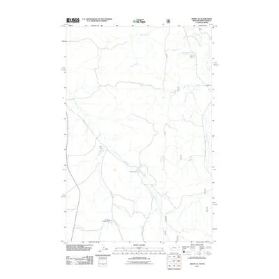 2011 Sidney SE2011 Print · USGSThe Montana-North Dakota borderlands are shown here in the early twenty-first century, centered on the ranching country of Richland County. Genealogists and local historians can trace the Klandl Ranch operations and water features like Olson Dam and One-O-One Creek.
 - 2011 Map of Skaar NE, 2011 Print
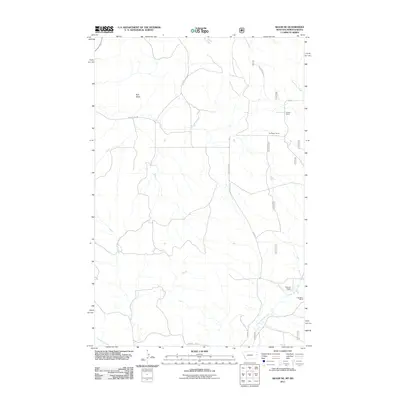 2011 Skaar NE2011 Print · USGSRichland County at the turn of the decade remains a landscape of wide-reaching family holdings and seasonal watercourses. Genealogists and local historians can trace the footprints of the Folkvord Ranch, Kupper Ranch, and landmarks like Bull Butte.
 - 2011 Map of Twomile Creek, 2011 Print
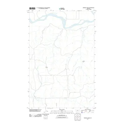 2011 Twomile Creek2011 Print · USGSThe Missouri River breaks of northeastern Montana are shown here as they appeared in the early 2000s. Researchers can trace the drainage patterns of Twomile Creek and Cedar Creek or locate local landmarks like Juniors Place Dam and the C Sowle Reservoir Dam.
 - 2011 Map of Brockton, 2011 Print
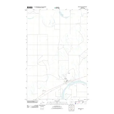 2011 Brockton2011 Print · USGSBrockton stands along the Missouri River in Roosevelt County during the early twenty-first century. Genealogists and local researchers can trace the town layout including the Brockton Post Office, Riverview Cemetery, and the path of the Indian Hwy.
 - 2011 Map of Lambert, 2011 Print
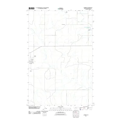 2011 Lambert2011 Print · USGSRichland County, Montana, was defined by its agricultural grid and scattered water reservoirs in the early 21st century. Researchers can locate the Lambert Cemetery, the Lambert Post Office, and the prominent terrain of Three Buttes near Fox Lake.
 - 2011 Map of McCone Heights, 2011 Print
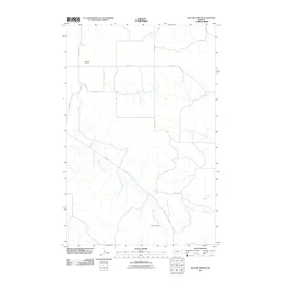 2011 McCone Heights2011 Print · USGSRichland County at the start of the 2010s was characterized by its wide-open ranching country and seasonal watercourses. Genealogists and land researchers can trace property boundaries along Crane Creek and identify local landmarks like Chimney Rock or the settlement at McCone Heights.
 - 2011 Map of Crane, 2011 Print
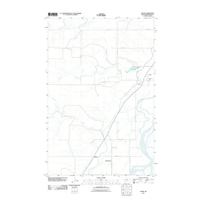 2011 Crane2011 Print · USGSRichland County at the start of the 2010s shows a landscape of river-valley settlements and rural management. Genealogists and local historians can trace family roots through Crane Cemetery, find the Crane Post Office, and locate the sites of Midway and Hoffmanville.
 - 2011 Map of Three Buttes Creek East, 2011 Print
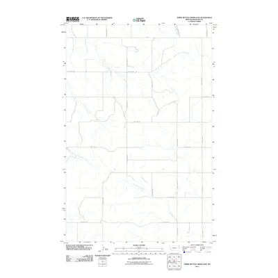 2011 Three Buttes Creek East2011 Print · USGSRichland County, Montana is captured here in the early twenty-first century, showcasing the expansive prairie landscape and the drainage of Three Buttes Creek. Genealogists and land researchers can trace the modern road grid including FAS 201 and the winding course of North Fork Lone Tree Creek.
 - 2011 Map of Clay Butte, 2011 Print
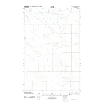 2011 Clay Butte2011 Print · USGSRichland County, Montana, is depicted here in the early twenty-first century, showing a vast landscape of prairie coulees and ranch roads. Researchers can trace land use through features like Clay Butte, the J Deckert Number 1 Dam, and the winding Burns Creek.
 - 2011 Map of Crane NE, 2011 Print
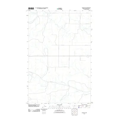 2011 Crane NE2011 Print · USGSRichland County, Montana, is shown as a structured agricultural landscape during the early twenty-first century. Researchers can trace the paths of Lone Tree Creek and Fox Creek across a modern grid of rural routes like County Rd-343.
 - 2011 Map of Three Buttes Creek West, 2011 Print
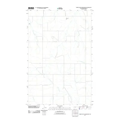 2011 Three Buttes Creek West2011 Print · USGSRichland County at the start of the 2010s shows a landscape of precision water management and ranching roads. Researchers can trace the drainage of Three Buttes Creek and identify local landmarks like Vaira Dam and V E G Gunderson Dam.
 - 2011 Map of Elmdale SW, 2011 Print
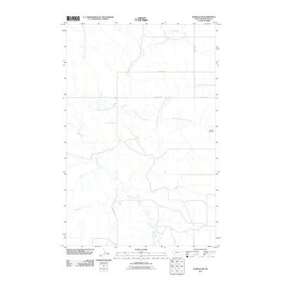 2011 Elmdale SW2011 Print · USGSRichland County at the start of the twenty-first century reveals a landscape shaped by water and sectional roads. Genealogists and land researchers can trace property boundaries and drainages along East Redwater Creek, Horse Creek, and the distinctive Carda Coulee.
 - 2011 Map of Crane NW, 2011 Print
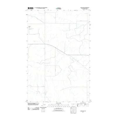 2011 Crane NW2011 Print · USGSRichland County at the start of the 2010s reveals a structured landscape of prairie drainage and rural section-line roads. Researchers can locate water management features like the Prevost Reservoir Number 2 or trace the winding course of the North Fork Fox Creek.
 - 2011 Map of Dore, 2011 Print
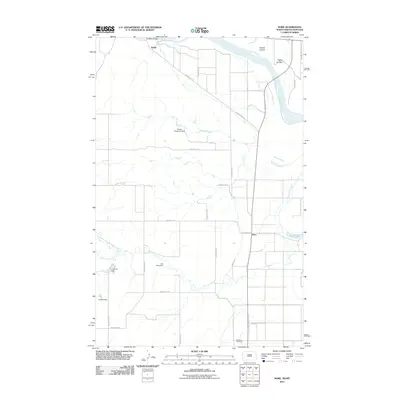 2011 Dore2011 Print · USGSThe Missouri River borderlands of North Dakota and Montana are captured here in the early twenty-first century, showing a landscape defined by water and ranching. Genealogists and historians can trace the rural communities of Dore and Nohly, or locate family sites near Fairview Cemetery and the historic Snowden Bridge.
 - 2011 Map of Elm Coulee, 2011 Print
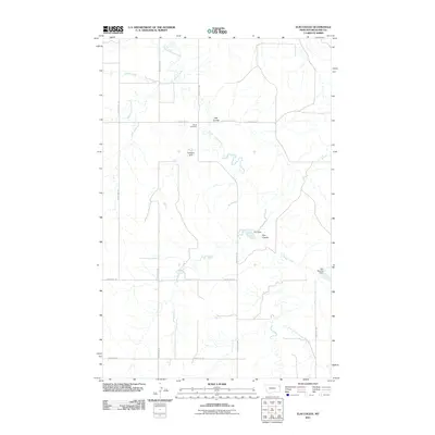 2011 Elm Coulee2011 Print · USGSRichland County, Montana, is shown here in the early twenty-first century as a landscape of remote ranchlands and critical water management. Genealogists and local historians can locate Mona Cemetery and trace water features like Elm Dam and East Charlie Creek.
 - 2011 Map of Carda Coulee, 2011 Print
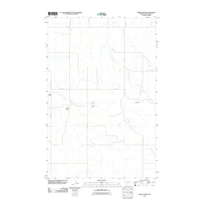 2011 Carda Coulee2011 Print · USGSRichland County, Montana, is depicted in the early 21st century as a landscape shaped by rural water management and the rugged breaks of the plains. Researchers can trace the drainage of Carda Coulee and locate the irrigation works at Latka Reservoir and Latka Dam.
 - 2011 Map of Blue Hill, 2011 Print
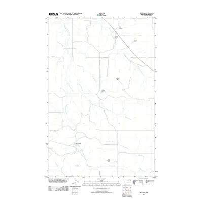 2011 Blue Hill2011 Print · USGSRichland County, Montana, is depicted in the early 21st century as a landscape of isolated ranching outposts and strategic water management. Researchers can locate family burial sites at Cherry Creek Cemetery and Lone Butte Cemetery or trace the drainage of Buckley Creek.
 - 2011 Map of Allard Ranch, 2011 Print
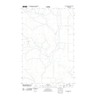 2011 Allard Ranch2011 Print · USGSRichland County, Montana, is documented in the early twenty-first century, showcasing the remote ranching landscape near the drainage of Burns Creek. Researchers can trace the rural road network including County Rd-334 and locate the historic Allard Ranch.
Showing maps 1-25 of 305
Top cities of Richland County
Frequently asked questions
- What are the different types of historical maps available for Richland County?
- What is the oldest map of Richland County?
- Where can I purchase historical maps of Richland County for my home or office?
- Where can I download high-res historical maps of Richland County?
- Are there historical topographic maps available for Richland County?
- Is there historical aerial imagery available for Richland County?
- Where are historical maps of Richland County sourced from?