2010s Maps of Brockton District, Montana
Explore 72 historic maps of Brockton District from the 2010s. These maps offer a rare glimpse into what life looked like during the 2010s — showing old roads, neighborhoods, homes, and landmarks that have changed or disappeared over time.
Whether you're researching your family's past, planning a metal detecting trip, or studying how Brockton District's landscape evolved across the 2010s, these high-resolution maps are a powerful tool for exploring the history of this region.
- Focus on a specific era: All maps on this page are from the 2010s, giving you a focused view of this time period.
- See what’s changed: Compare century-old streets, trails, and buildings to today's modern landscape using overlays and satellite layers.
- Research with precision: Use these maps for genealogy, historical research, land use analysis, or educational projects.
- View, download, or print: Maps are fully viewable online in high resolution, and can be downloaded or printed for your own records.
Start exploring Brockton District's history through authentic maps from the 2010s. This is your window into the past.
Brockton District, MT maps
(72)- 2011 Map of Biem School, 2011 Print
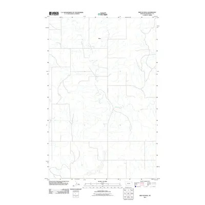 2011 Biem School2011 Print · USGSRoosevelt County's high prairie is mapped here during the early 2010s, showing a landscape of scattered ranching interests and deep coulees. Researchers can trace the path of Smoke Creek and the rural settlement of Biem along the stretch of Brockton Rd.
 - 2011 Map of Smoke Creek SW, 2011 Print
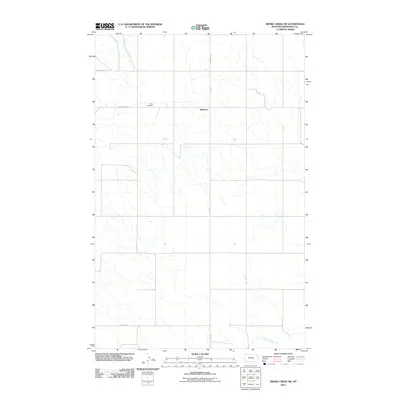 2011 Smoke Creek SW2011 Print · USGSNortheastern Montana ranching country is captured here in the early twenty-first century, showing the remote plains north of the Missouri River. Genealogists and local historians can locate the Zion Cemetery and trace the road network around Anderson and Lake Creek.
 - 2011 Map of Soo NE, 2011 Print
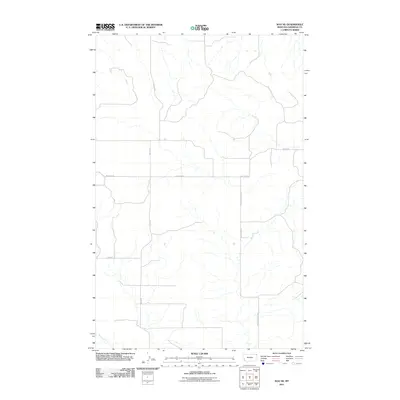 2011 Soo NE2011 Print · USGSSheridan County's high prairie is mapped here in the early twenty-first century, showing the remote ranching landscape of the Brockton District. Local researchers can trace family-named landmarks and essential water sources like Welliver, Bolster, and Malcolm Creek.
 - 2011 Map of Brockton, 2011 Print
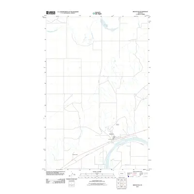 2011 Brockton2011 Print · USGSBrockton stands along the Missouri River in Roosevelt County during the early twenty-first century. Genealogists and local researchers can trace the town layout including the Brockton Post Office, Riverview Cemetery, and the path of the Indian Hwy.
 - 2011 Map of Coyote Coulee, 2011 Print
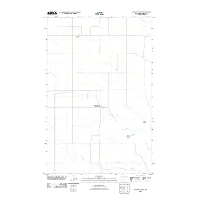 2011 Coyote Coulee2011 Print · USGSThe Brockton District of Roosevelt County is shown here in the early twenty-first century, featuring the vast ranching landscapes and water infrastructure of the region. Researchers can trace the layout of the Schnitzler Ranch and locate the Fort Peck Reservation Number 23 Dam among the draws of Spring Creek.
 - 2011 Map of Hay Creek, 2011 Print
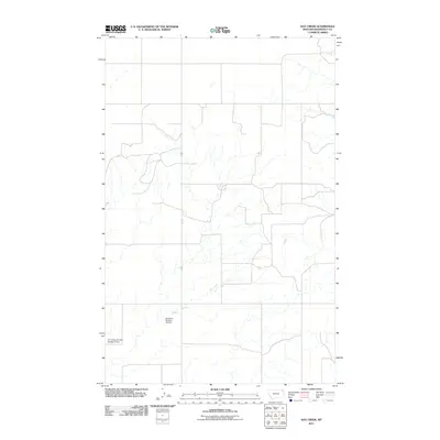 2011 Hay Creek2011 Print · USGSRoosevelt County in the early 2000s shows a landscape defined by critical water management and rural road networks. Researchers can trace land development and infrastructure through the CCC Indian Division Number 5 Dam and Hay Creek.
 - 2011 Map of Geddart Lake, 2011 Print
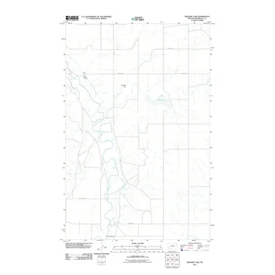 2011 Geddart Lake2011 Print · USGSThis Roosevelt County survey captures the ranching country of northeast Montana in the early 2000s. Genealogists and researchers can trace family-named landmarks like Kirns Ranch and Kirns Coulee, alongside the waters of Geddart Lake.
 - 2011 Map of Pleasant Prairie, 2011 Print
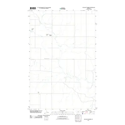 2011 Pleasant Prairie2011 Print · USGSPleasant Prairie in Roosevelt County was a quiet expanse of ranchland and prairie at the start of the 2010s. Researchers can locate family landmarks such as the Pleasant Prairie Cemetery, Chris Hill, and local features like J Jacobsen Number 1 Dam.
 - 2011 Map of Badger Creek, 2011 Print
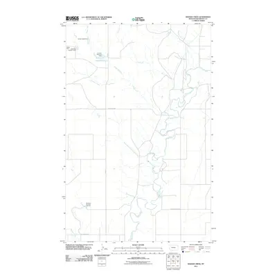 2011 Badger Creek2011 Print · USGSEastern Montana plains and the winding Poplar River valley are captured here in the early twenty-first century. Researchers can trace rural water management and local landmarks through features like Crandall Reservoir, Barney Rubbel Dam, and Structure Number 137 Dam.
 - 2011 Map of Poplar NE, 2011 Print
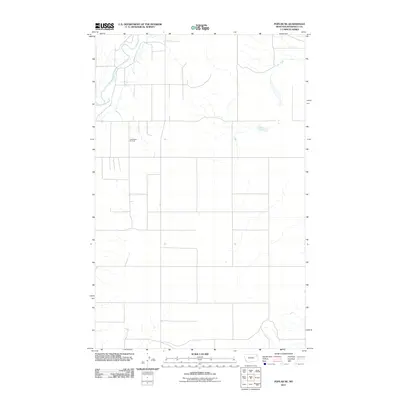 2011 Poplar NE2011 Print · USGSThe Brockton District of northeastern Montana is shown at a time when the energy industry and rural agriculture defined the landscape. Researchers can trace the layout of the East Poplar Oil Field and follow the paths of the Poplar River and Lake Creek.
 - 2011 Map of Pleasant Prairie SW, 2011 Print
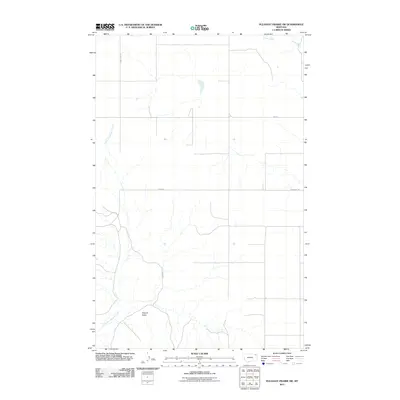 2011 Pleasant Prairie SW2011 Print · USGSThe northern plains of Roosevelt County appear in this modern survey of the Poplar District just after the turn of the decade. Researchers can trace the rural landscape from the heights of Square Butte to the drainages of Smoke Creek and Glue Out Morgan Creek.
 - 2011 Map of Long Creek East, 2011 Print
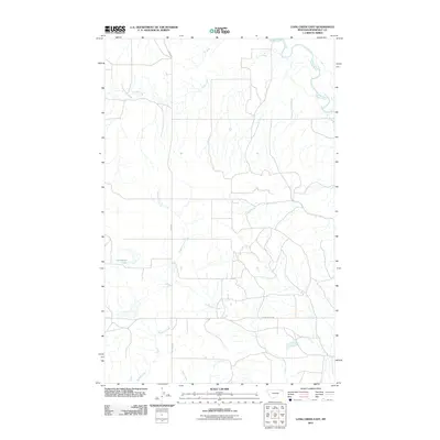 2011 Long Creek East2011 Print · USGSRoosevelt County's high plains are captured here in the early 2010s, showing a landscape shaped by the Poplar River and its tributaries. Researchers can trace the rural routes of River Rd and Empire Bridge Rd past landmarks like Horseshoe Lake.
 - 2011 Map of Soo, 2011 Print
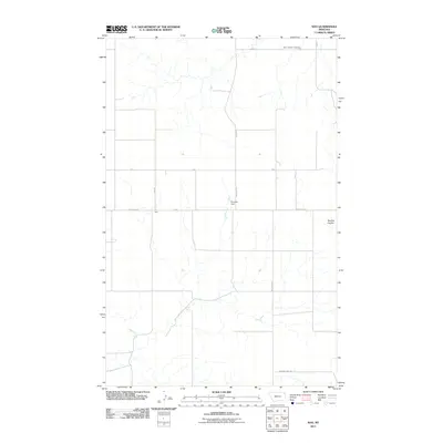 2011 Soo2011 Print · USGSRoosevelt County's agricultural heartland is detailed in this 2011 survey of the Brockton District. Researchers can locate the Faith Lutheran Cemetery and the settlement of Soo, alongside rural landmarks like Bummer Dam and Burshia Coulee.
 - 2011 Map of Calais, 2011 Print
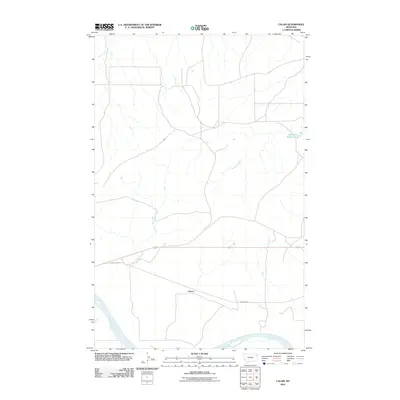 2011 Calais2011 Print · USGSNortheastern Montana ranching country is documented here in the early twenty-first century, showing the rural road network of Roosevelt County. Researchers can trace the path of INDIAN ROAD 1 and locate local landmarks like Calais and the Bertino Reservoir.
 - 2011 Map of Mortarstone Bluff, 2011 Print
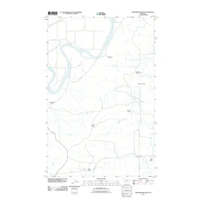 2011 Mortarstone Bluff2011 Print · USGSThe Missouri River Breaks of Roosevelt County are captured in the early 21st century, showing a landscape defined by deep drainages and isolated landmarks. Researchers can locate Fisher Cemetery and trace the complex geography of Coalmine Coulee and Haystack Butte.
 - 2011 Map of Thornwood Ranch, 2011 Print
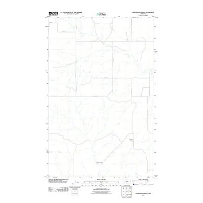 2011 Thornwood Ranch2011 Print · USGSThe ranchlands of Roosevelt County, Montana, are captured in detail during the early 2010s. Local historians and land researchers can trace the drainages of Wolf Creek and Burshia Coulee alongside rural hubs like Thornwood Ranch.
 - 2011 Map of Soo NW, 2011 Print
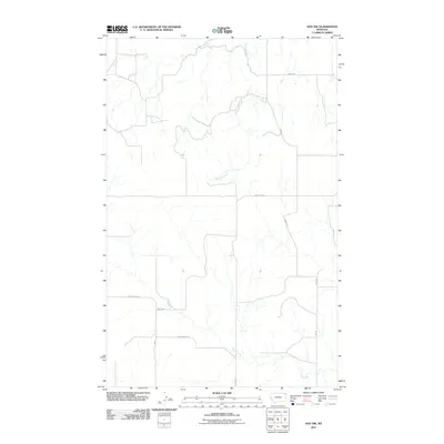 2011 Soo NW2011 Print · USGSRoosevelt County's high plains are documented here at the start of the decade, showing a landscape defined by isolated watercourses and rural corridors. Researchers can trace the paths of Redstone Creek and Wolf Creek alongside local routes like Bergh Rd and Welliver Rd.
 - 2011 Map of Frog Coulee, 2011 Print
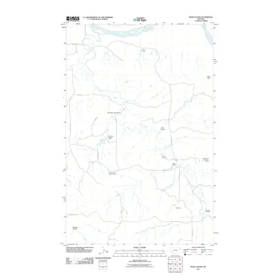 2011 Frog Coulee2011 Print · USGSRoosevelt County's high plains and river breaks come into focus here in the early twenty-first century. Genealogists and local historians can trace family roots at Saint Bernards Church Cemetery and explore the rural layout near Balls Bluff and Frog Coulee.
 - 2011 Map of Smoke Creek NE, 2011 Print
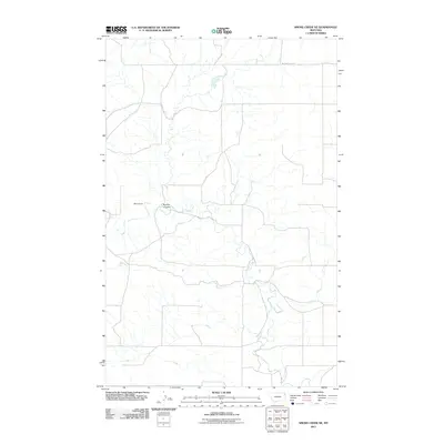 2011 Smoke Creek NE2011 Print · USGSNortheastern Montana’s ranching country remains centered on its vital watercourses and coulees in the years following the turn of the millennium. Researchers can trace the layout of family-held land at West's Ranch and follow the path of Smoke Creek through the prairie.
 - 2011 Map of Pleasant Prairie NW, 2011 Print
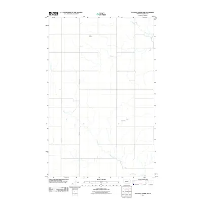 2011 Pleasant Prairie NW2011 Print · USGSThe northern plains of Roosevelt County are captured here in the early twenty-first century, showing a landscape defined by ranching roads and prairie drainage. Researchers can locate the Orville Cemetery and trace the paths of Smoke Creek and Mail Route Rd.
 - 2011 Map of Pleasant Prairie NE, 2011 Print
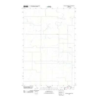 2011 Pleasant Prairie NE2011 Print · USGSNortheast Montana's high plains are captured here in the early twenty-first century, showing a remote agricultural landscape. Researchers can trace the drainages of Eagle Creek and Wolf Creek alongside rural routes like Navajo Rd and Eagle Creek Rd.
 - 2011 Map of Sprole, 2011 Print
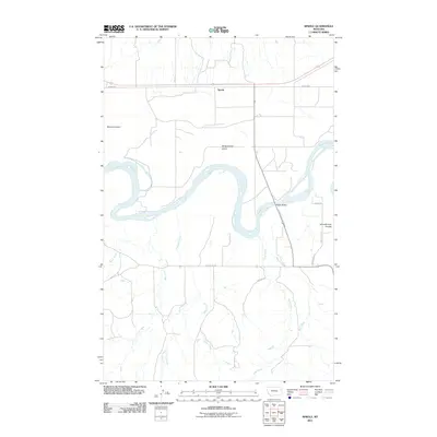 2011 Sprole2011 Print · USGSThe Missouri River breaks across the Montana plains near the settlement of Sprole in this early twenty-first-century survey. Trace the shifting banks of White Shield Island or locate rural landmarks like Schoolhouse Coulee and the crossing at Poplar Bridge.
 - 2011 Map of Poplar, 2011 Print
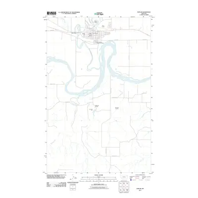 2011 Poplar2011 Print · USGSThe town of Poplar sits at the critical junction of two rivers in Roosevelt County during the early twenty-first century. Researchers can trace the civic infrastructure of Poplar, including the Poplar Cemetery, and explore regional crossings like the West Poplar River Bridge.
 - 2011 Map of Hay Creek NW, 2011 Print
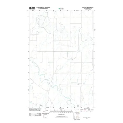 2011 Hay Creek NW2011 Print · USGSRoosevelt County's rural northern landscape is documented here in the early 2000s, showing a terrain shaped by the winding Poplar River. Local historians and researchers can trace the reach of Beck Dam and identify landmarks like Swank Airport and Swank Coulee.
 - 2014 Map of Thornwood Ranch, 2014 Print
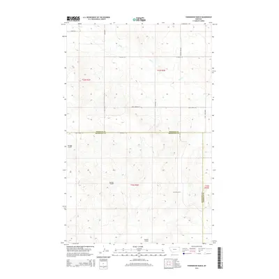 2014 Thornwood Ranch2014 Print · USGSNortheastern Montana ranching country remains largely unchanged in this modern topographic study of the Sheridan and Roosevelt county line. Researchers can locate the central Thornwood Ranch and trace drainage patterns along Wolf Cr or Burshia Coulee.
Showing maps 1-25 of 72
Top cities near Brockton District
Top neighborhoods of Brockton District
- Anderson historical maps
- Biem historical maps
- Pleasant Prairie historical maps
- Sprole historical maps
- Brockton historical maps
Frequently asked questions
- What are the different types of historical maps available for Brockton District?
- What is the oldest map of Brockton District?
- Where can I purchase historical maps of Brockton District for my home or office?
- Where can I download high-res historical maps of Brockton District?
- Are there historical topographic maps available for Brockton District?
- Is there historical aerial imagery available for Brockton District?
- Where are historical maps of Brockton District sourced from?